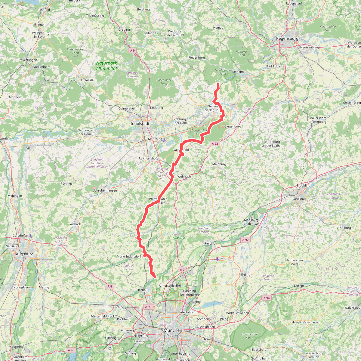
The best hiking routes in Ampertal
Discover the best walks in Ampertal. 1 routes on the map, with descriptions, photos and GPX.
About Ampertal
The Ampertal is a river valley landscape shaped by the slow-flowing Amper, characterized by flat alluvial floodplains, damp meadows, and gentle, low-lying hills along the valley edges. Unlike the nearby dry gravel plains of Munich, this area is defined by its water-influenced terrain. Walkers will find a mix of damp, grassy paths through riverside pastures and firmer, unpaved agricultural tracks that run parallel to the watercourse, offering a straightforward walking experience without steep climbs or deep gorges.
Read more
About Ampertal
The Ampertal is a river valley landscape shaped by the slow-flowing Amper, characterized by flat alluvial floodplains, damp meadows, and gentle, low-lying hills along the valley edges. Unlike the nearby dry gravel plains of Munich, this area is defined by its water-influenced terrain. Walkers will find a mix of damp, grassy paths through riverside pastures and firmer, unpaved agricultural tracks that run parallel to the watercourse, offering a straightforward walking experience without steep climbs or deep gorges.
Read moreThe Ampertal is a river valley landscape shaped by the slow-flowing Amper, characterized by flat alluvial floodplains, damp meadows, and gentle, low-lying hills along the valley edges. Unlike the nearby dry gravel plains of Munich, this area is defined by its water-influenced terrain. Walkers will find a mix of damp, grassy paths through riverside pastures and firmer, unpaved agricultural tracks that run parallel to the watercourse, offering a straightforward walking experience without steep climbs or deep gorges.
Underfoot, the terrain alternates between soft, sometimes muddy earth near the riverbanks and more stable gravel tracks on the slightly higher terraces. The landscape is heavily shaped by traditional farming, meaning you will walk past active pastures, drainage ditches, and small patches of woodland rather than wild, untouched forests. In late spring, around May, the low meadows are bright with blooming wildflowers, which clearly marks the transition from the cultivated fields to the wetter, protected floodplains.
This area is best suited for those who prefer flat, open walking with clear sightlines over agricultural fields and river bends. It does not offer dense forest cover or dramatic elevation changes, but rather a quiet, rural working landscape. While the main paths near the towns can be busier with local walkers, the tracks further along the river loops generally offer a more solitary experience.