


The best hiking routes in Brunssummerheide
Discover the best walks in Brunssummerheide. 22 routes on the map, with descriptions, photos and GPX.
Managed by Natuurmonumenten


About Brunssummerheide
Brunssummerheide offers a landscape of contrasts shaped by its history of sand excavation and water management. Walkers can choose between the dry, open heathland on the higher ground and the damp, forested valleys below. The central part of the area features wide sandy tracks where the soil is loose and shifting, while the lower marshy zones near the Roode Beek stream are crossed by wooden boardwalks to keep your feet out of the peat. This variation means you can easily switch between open views across purple heather and enclosed, shaded woodland paths.
Read more
About Brunssummerheide
Brunssummerheide offers a landscape of contrasts shaped by its history of sand excavation and water management. Walkers can choose between the dry, open heathland on the higher ground and the damp, forested valleys below. The central part of the area features wide sandy tracks where the soil is loose and shifting, while the lower marshy zones near the Roode Beek stream are crossed by wooden boardwalks to keep your feet out of the peat. This variation means you can easily switch between open views across purple heather and enclosed, shaded woodland paths.
Read moreBrunssummerheide offers a landscape of contrasts shaped by its history of sand excavation and water management. Walkers can choose between the dry, open heathland on the higher ground and the damp, forested valleys below. The central part of the area features wide sandy tracks where the soil is loose and shifting, while the lower marshy zones near the Roode Beek stream are crossed by wooden boardwalks to keep your feet out of the peat. This variation means you can easily switch between open views across purple heather and enclosed, shaded woodland paths.
The terrain is gently rolling rather than flat, with low hills that reveal layers of white sand beneath the heather. In August, the flowering heather turns the open slopes purple, contrasting with the dark green of the pine forests. Because the area is managed by Natuurmonumenten, the paths are well-marked, but the ground underfoot changes constantly from firm forest soil to soft, deep sand that requires more effort to walk on.
While the areas near the main visitor center and the play forest are often busy with families and dog walkers, the quieter southern and eastern edges of the reserve offer a more tranquil experience. You will not find deep wilderness or high peaks here, but the transition from dry pine woods to wet alder carrs provides a diverse walking environment within a relatively compact area.
Hiking routes in Brunssummerheide (22)

#1. Beleefpad Brunssummerheide (Oranje)
Heerlen

#2. Brunssum - Brunssummerheide Licht blauw NM4
Heerlen,Brunssum

#3. Brunssum - Simpelveld · Rondje Limburg etappe 16
Bocholtz,Simpelveld,Heerlen,Landgraaf,Brunssum

#4. Brunssummerheide Donker Groen NM3 Brunssum
Heerlen,Brunssum,Landgraaf

#5. Brunssummerheide Geel NM7 Brunssum
Heerlen

#6. Brunssummerheide Licht Groen NM6 Brunssum
Heerlen

#7. Brunssummerheide Oranje NM2 Brunssum
Heerlen

#8. Brunssummerheide Paars NM5 Brunssum
Landgraaf,Heerlen

#9. Brunssummerheide Rood NM1 Brunssum
Landgraaf,Brunssum
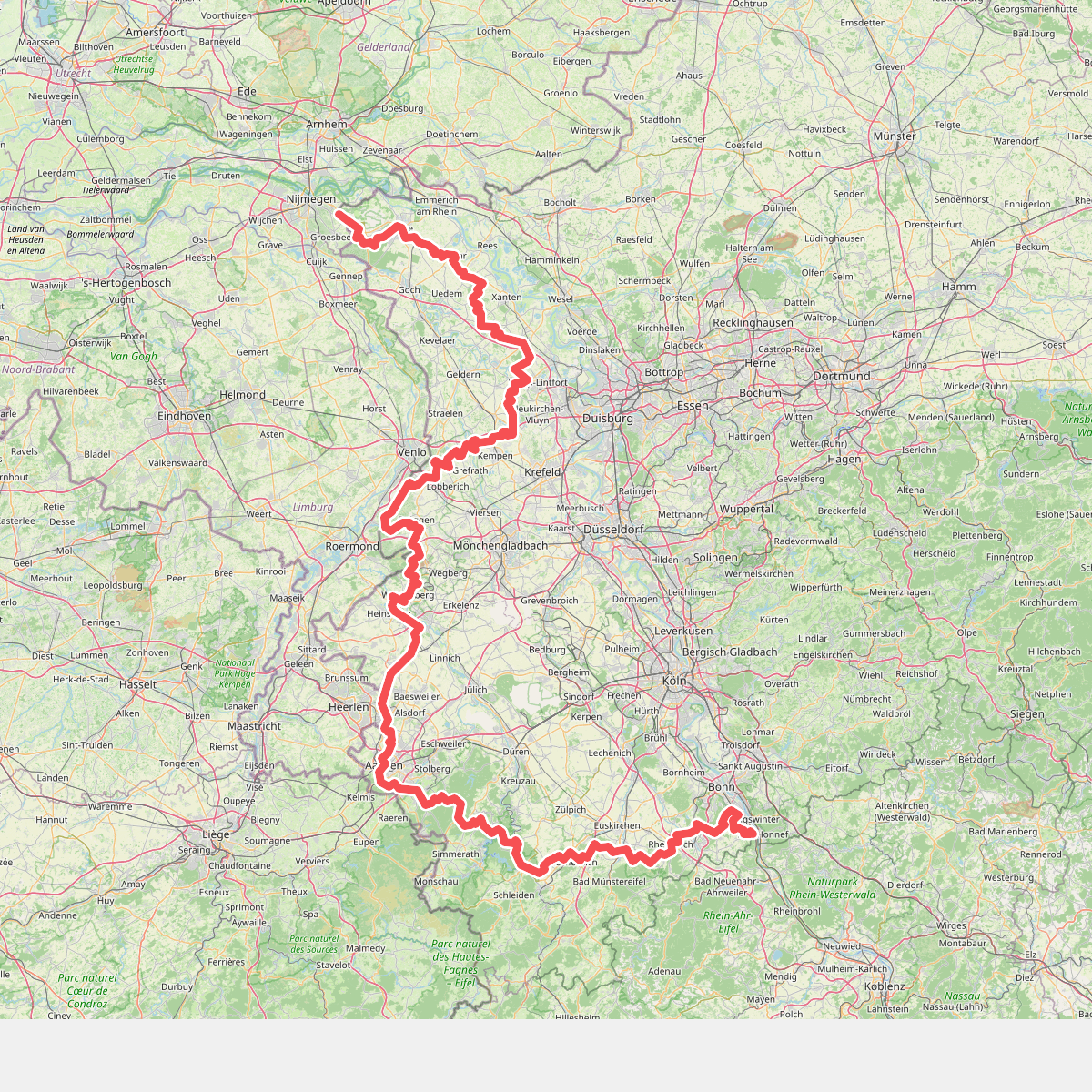
#10. Europäischer Fernwanderweg E8, Nordrhein-Westfalen


#11. Heerlen - Mungeleen - Spaubeek · Via Coriovallum etappe 1
Heerlen,Hoensbroek,Nuth,Schinnen,Puth,Sweikhuizen,Geleen,Munstergeleen,Spaubeek

#12. Heerlen - Spaubeek · Via Coriovallum etappe 1
Heerlen,Hoensbroek,Nuth,Schinnen,Puth,Sweikhuizen,Spaubeek




