


The best hiking routes in Duinen Schiermonnikoog
Discover the best walks in Duinen Schiermonnikoog. 12 routes on the map, with descriptions, photos and GPX.
Managed by Natuurmonumenten;Rijkswaterstaat
About Duinen Schiermonnikoog
Duinen Schiermonnikoog consists of a shifting dune landscape on the northern edge of the island, where the terrain transitions from dry, white sand dunes to low-lying wet dune slacks. Unlike the flat polders to the south, this area is defined by constant elevation changes, though the climbs are short and sandy rather than steep. The vegetation is highly varied, with dense sea buckthorn scrub on the older dunes giving way to low creeping willow and specialized mosses in the damp depressions. Underfoot, you will mostly encounter loose sand tracks that require steady effort, interspersed with firmer grassy paths and occasional wooden boardwalks over the wettest hollows.
Read more
About Duinen Schiermonnikoog
Duinen Schiermonnikoog consists of a shifting dune landscape on the northern edge of the island, where the terrain transitions from dry, white sand dunes to low-lying wet dune slacks. Unlike the flat polders to the south, this area is defined by constant elevation changes, though the climbs are short and sandy rather than steep. The vegetation is highly varied, with dense sea buckthorn scrub on the older dunes giving way to low creeping willow and specialized mosses in the damp depressions. Underfoot, you will mostly encounter loose sand tracks that require steady effort, interspersed with firmer grassy paths and occasional wooden boardwalks over the wettest hollows.
Read moreDuinen Schiermonnikoog consists of a shifting dune landscape on the northern edge of the island, where the terrain transitions from dry, white sand dunes to low-lying wet dune slacks. Unlike the flat polders to the south, this area is defined by constant elevation changes, though the climbs are short and sandy rather than steep. The vegetation is highly varied, with dense sea buckthorn scrub on the older dunes giving way to low creeping willow and specialized mosses in the damp depressions. Underfoot, you will mostly encounter loose sand tracks that require steady effort, interspersed with firmer grassy paths and occasional wooden boardwalks over the wettest hollows.
To understand this landscape as you walk, look at the age of the dunes. The northernmost ridges are active and white, constantly reshaped by sand movement, while the inner dunes are grey and stabilized by lichens and heather. In the low slacks between these ridges, groundwater sits close to the surface, creating marshy conditions where orchids bloom in June. Because this is an active coastal system, paths can sometimes be blocked by shifting sand drifts, requiring a short detour over the open ridges.
This reserve is ideal for walkers who prefer rugged, unpaved terrain over asphalt. It does not offer sheltered woodland walking, as trees are sparse and stunted by salt spray. The western sections near the lighthouse tend to see more visitors, while the eastern dunes toward the Kobbeduinen offer a more remote feel where the paths gradually fade into the salt marshes.
Hiking routes in Duinen Schiermonnikoog (12)
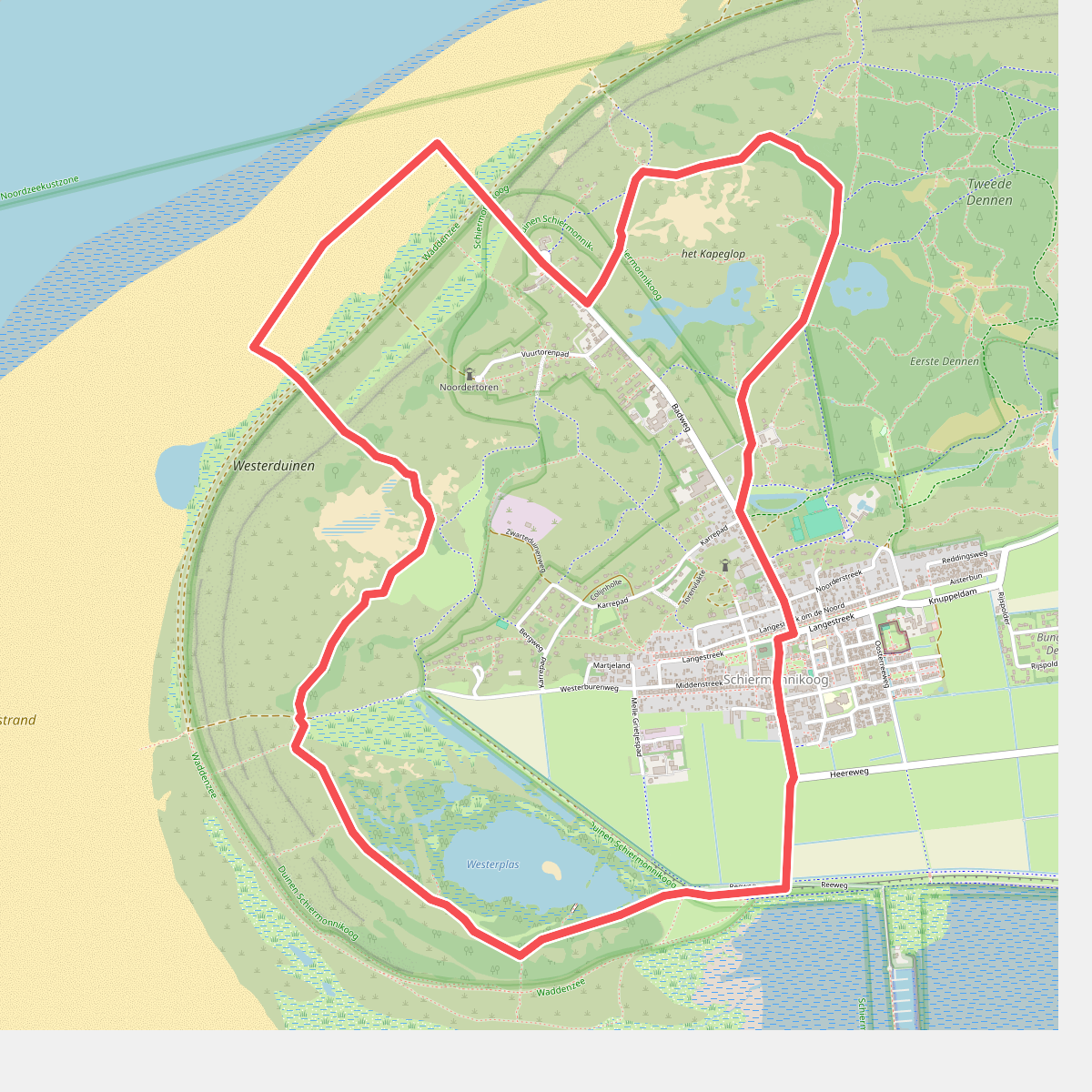
#1. De November Wandelmaand route
Schiermonnikoog
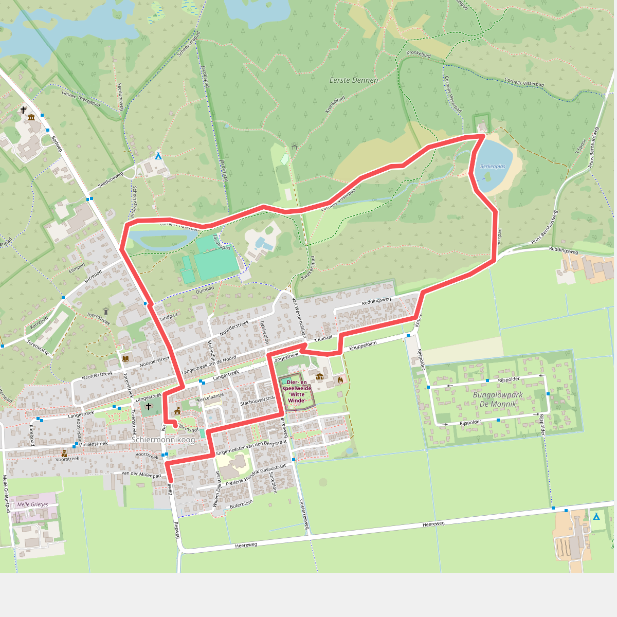
#2. Familieroute Berkenplas op Schiermonnikoog
Schiermonnikoog
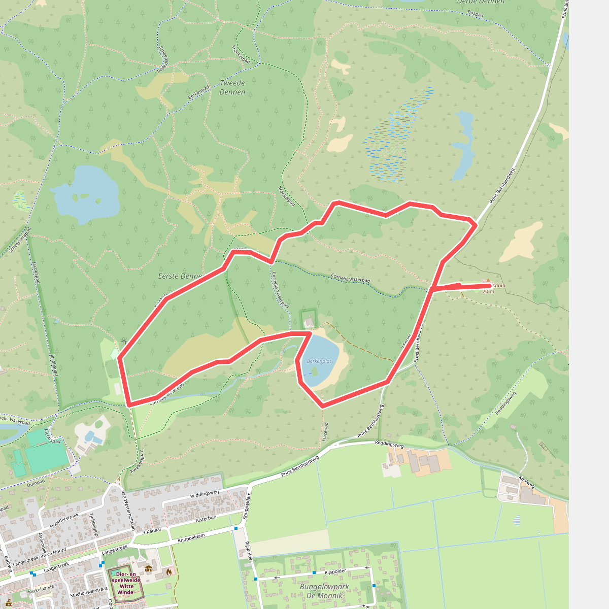
#3. Nachtwandeling op Schiermonnikoog
Schiermonnikoog
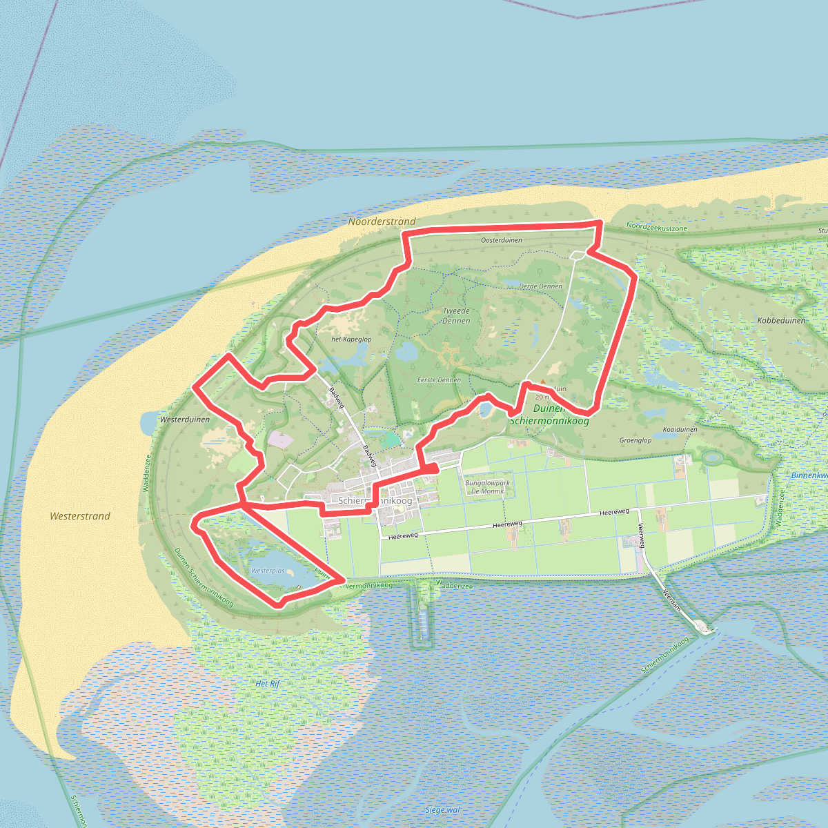
#4. Rondje Schiermonnikoog · Bonifatius Kloosterpad etappe 13
Schiermonnikoog
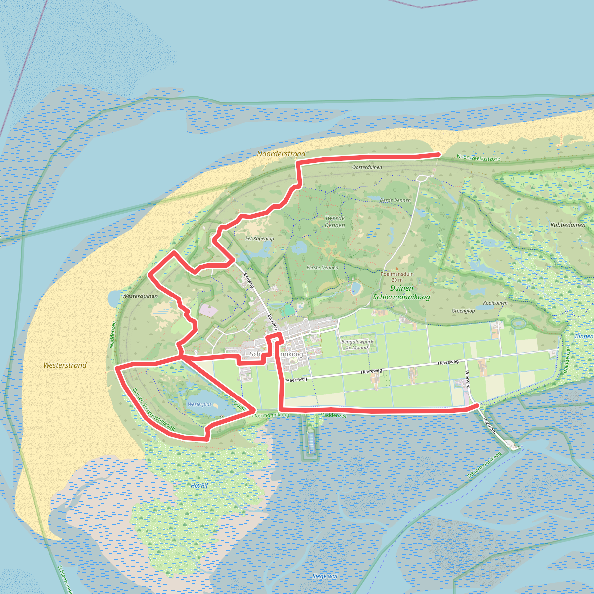
#5. Schiermonnikoog 1: Veerboot - bushalte De Marlijn · WaddenWandelen etappe 16
Schiermonnikoog
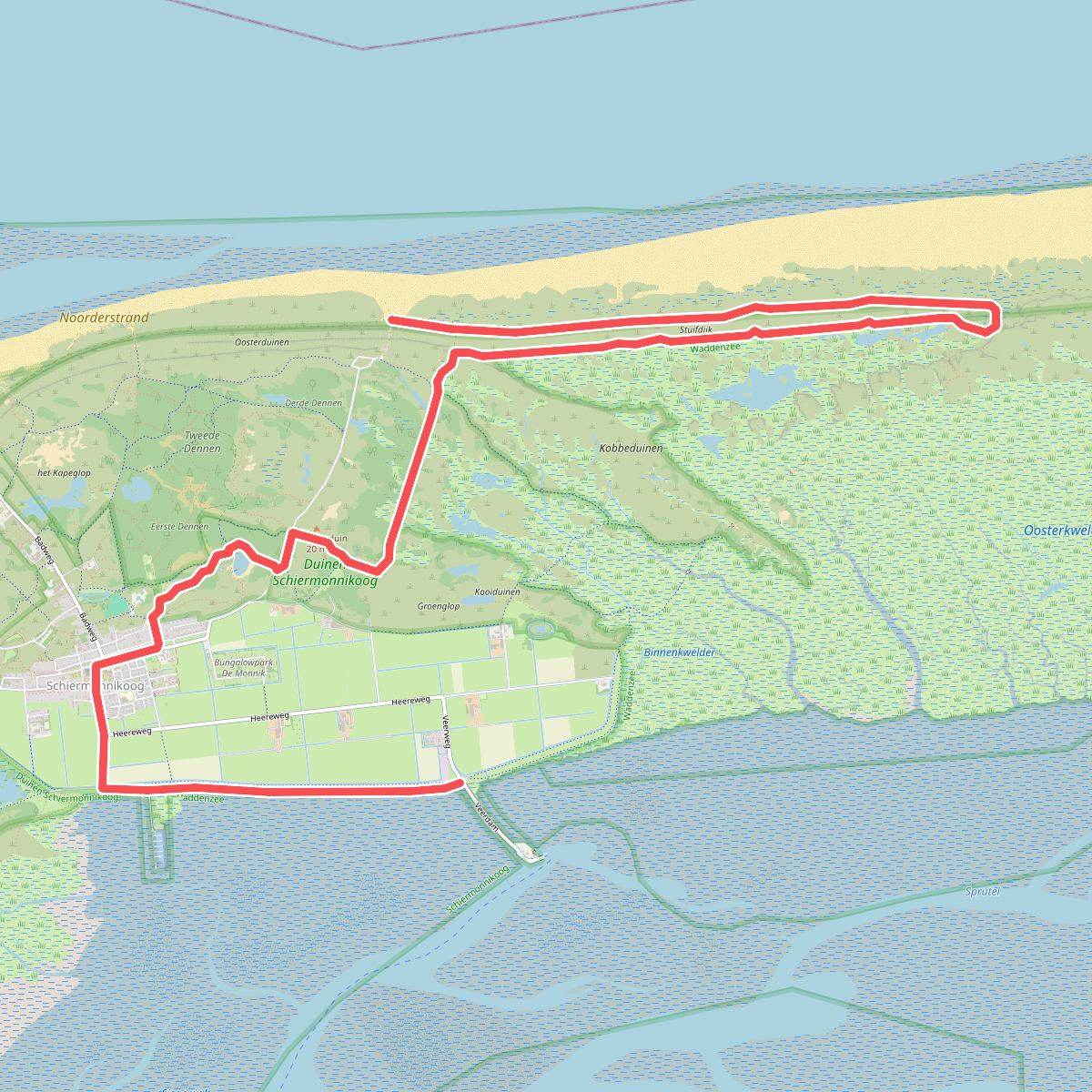
#6. Schiermonnikoog 2: bushalte De Marlijn - Veerboot · WaddenWandelen etappe 17
Schiermonnikoog
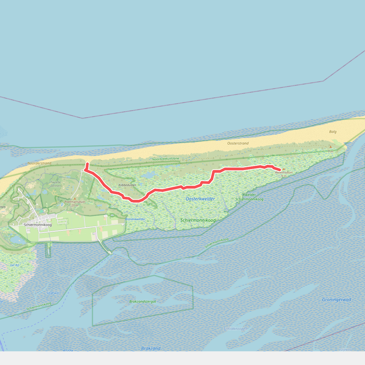
#7. Schiermonnikoog 3: Variant naar Willemsduin · WaddenWandelen etappe 18
Schiermonnikoog
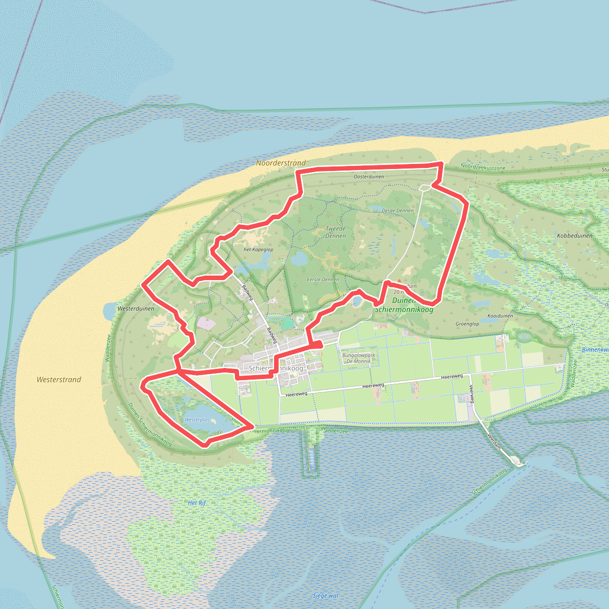
#8. Schiermonnikoog | Bonifatius Kloosterpad: rondje 1
Schiermonnikoog
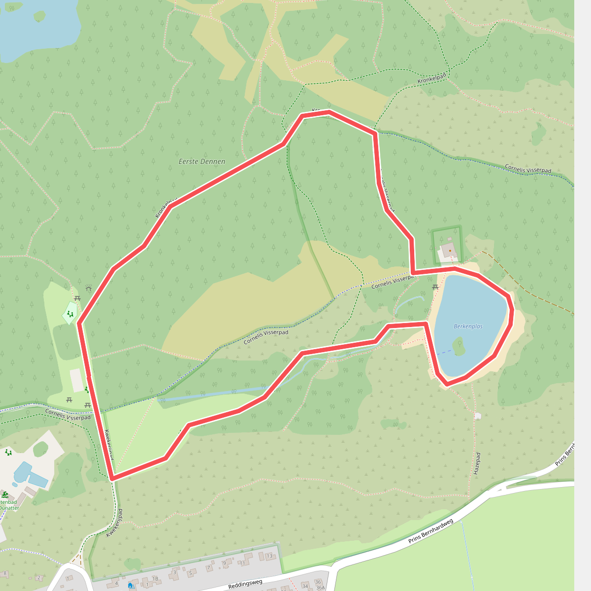
#9. Specht zoekt een huis op Schiermonnikoog
Schiermonnikoog
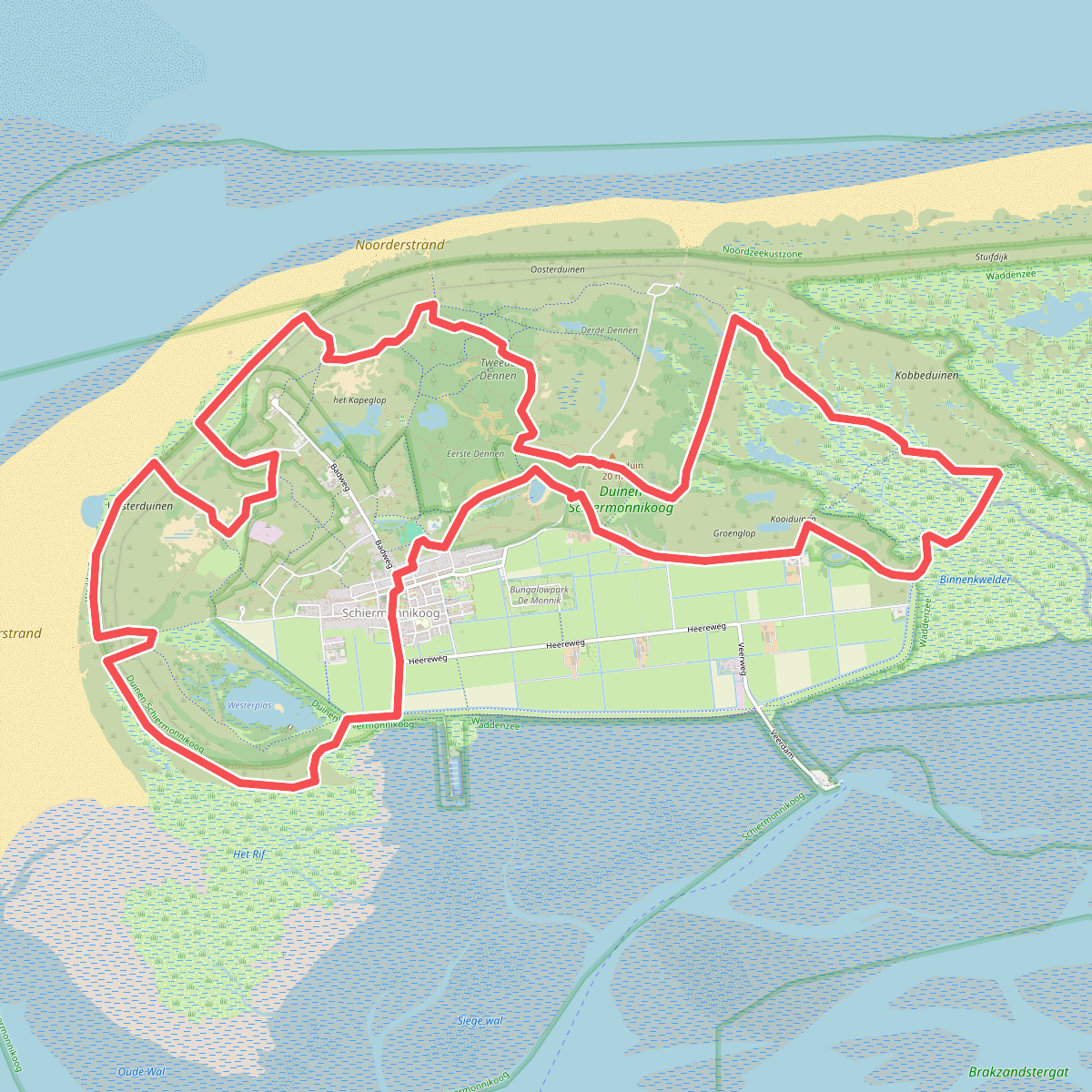
#10. Trailrun Schiermonnikoog (Friesland)
Schiermonnikoog
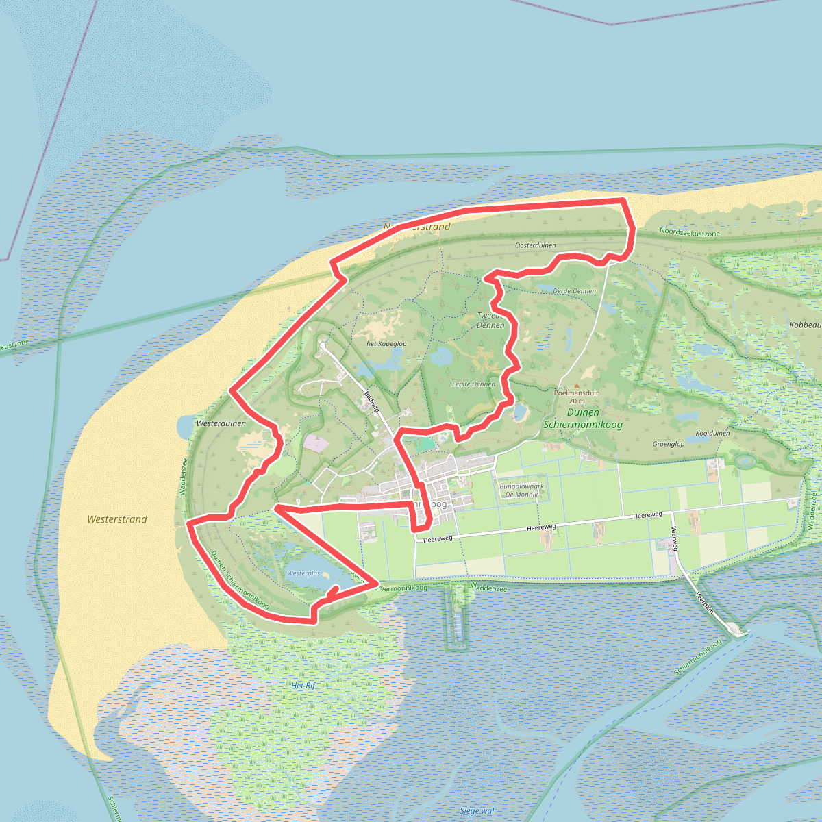
#11. Wandelroute Nationaal Park Schiermonnikoog, duin en strand (Friesland)
Schiermonnikoog
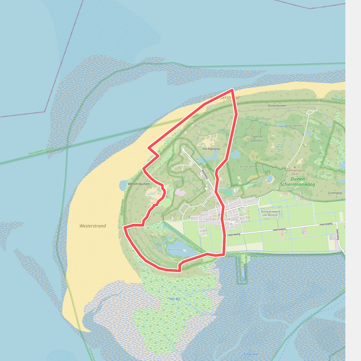
#12. Winterwandeling door duinen, strand en bos op Schiermonnikoog
Schiermonnikoog




