


The best hiking routes in Haringvliet
Discover the best walks in Haringvliet. 31 routes on the map, with descriptions, photos and GPX.
Managed by Rijkswaterstaat;Staatsbosbeheer;Natuurmonumenten


About Haringvliet
The Haringvliet is a wide, dammed-off estuary where the landscape transitions from brackish tidal waters to freshwater marshes and reclaimed agricultural polders. Unlike the open North Sea coast, this area is defined by massive concrete sluice gates that control the water levels, creating a distinct boundary between salt and fresh water. Walkers will find a flat, highly engineered landscape where reed beds, willow coppices, and muddy mudflats line the banks, contrasting with the straight dikes and paved cycle paths that run along the agricultural edges.
Read more
About Haringvliet
The Haringvliet is a wide, dammed-off estuary where the landscape transitions from brackish tidal waters to freshwater marshes and reclaimed agricultural polders. Unlike the open North Sea coast, this area is defined by massive concrete sluice gates that control the water levels, creating a distinct boundary between salt and fresh water. Walkers will find a flat, highly engineered landscape where reed beds, willow coppices, and muddy mudflats line the banks, contrasting with the straight dikes and paved cycle paths that run along the agricultural edges.
Read moreThe Haringvliet is a wide, dammed-off estuary where the landscape transitions from brackish tidal waters to freshwater marshes and reclaimed agricultural polders. Unlike the open North Sea coast, this area is defined by massive concrete sluice gates that control the water levels, creating a distinct boundary between salt and fresh water. Walkers will find a flat, highly engineered landscape where reed beds, willow coppices, and muddy mudflats line the banks, contrasting with the straight dikes and paved cycle paths that run along the agricultural edges.
Underfoot, the terrain varies significantly depending on how close you get to the water. The outer dikes offer firm asphalt or gravel tracks, while the paths leading into the marshy inlets and reed beds consist of soft clay, grassy banks, and wooden boardwalks designed to keep you above the wettest sections. Because of the clay soil, the unpaved paths can be sticky and slick, requiring sturdy footwear. The vegetation is dominated by tall reeds and rushes, which often block the view of the water until you reach specific viewing screens or bird hides.
This is not a traditional woodland or dune walk, and you will not find sandy heathlands or rolling hills here. Instead, the Haringvliet offers a stark, open river delta environment where the main focus is on water management and birdlife. The area is highly managed by sluice operations, meaning the water levels in the creeks can change, exposing mudflats that attract thousands of wading birds. It is a functional, engineered landscape where the infrastructure of dikes and sluices is always visible alongside the recovering wetland habitats.
Hiking routes in Haringvliet (31)

#1. Numansdorp - Dinteloord · Floris V-pad etappe 11
Dinteloord,Heijningen,Willemstad,Ooltgensplaat,Numansdorp


#2. Wandelroute De Koploper in de duinen van Goeree (deel 2)
Stellendam,Goedereede

#3. Beverroute op Tiengemeten
Zuid-Beijerland,Goudswaard

#4. Blauwborstroute op Tiengemeten
Zuid-Beijerland
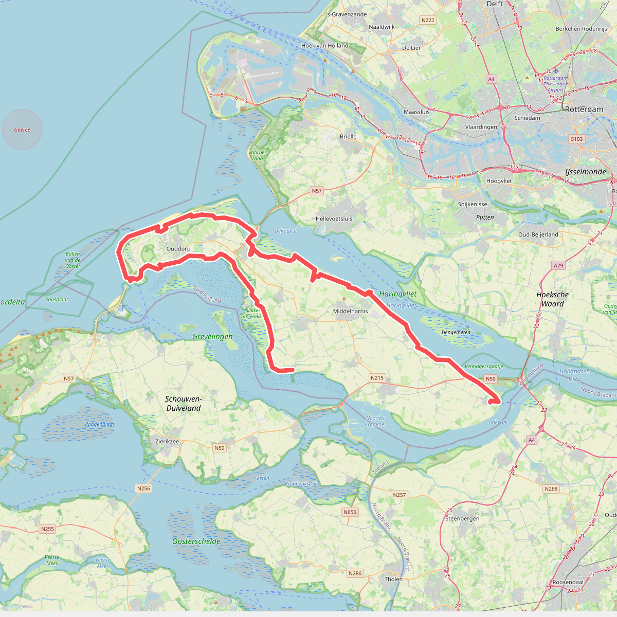
#5. De Omloop
Ooltgensplaat,Den Bommel,Stad aan 't Haringvliet,Middelharnis,Sommelsdijk,Dirksland,Stellendam,Goedereede,Ouddorp,Melissant,Herkingen

#6. Goedereede - Battenoord · GR5 etappe 4
Goedereede,Stellendam,Melissant,Dirksland,Herkingen,Nieuwe-Tonge


#7. Goedereede - Herkingen · Nederlands Kustpad 1 etappe 13
Herkingen,Dirksland,Melissant,Stellendam,Goedereede


#8. Goedereede - Rockanje · Nederlands Kustpad 1 etappe 8
Rockanje,Hellevoetsluis,Stellendam,Goedereede

#9. GR 5 NL - 4 - Rockanje-Goedereede

#10. GR 5 NL - 5 - Goedereede-Herkingen

#11. Hardlooproute wildernis op Tiengemeten
Zuid-Beijerland,Goudswaard


#12. Brielle - Goedereede · Jacobsweg Die Haghe etappe 5
Brielle,Tinte,Hellevoetsluis,Rockanje,Stellendam,Goedereede




