The best hiking routes in Hirschau und Obere Isarau
Discover the best walks in Hirschau und Obere Isarau. 2 routes on the map, with descriptions, photos and GPX.
About Hirschau und Obere Isarau
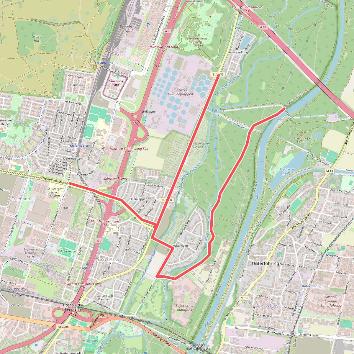
Hirschau und Obere Isarau offers a distinct transition from manicured city parkland to a more rugged, semi-natural river corridor along the Isar. Walking here, you will notice a clear division between the southern section, which functions as an open, grassy park with scattered mature trees, and the northern section, where the landscape shifts into a denser, wilder alluvial forest. The terrain is flat, lacking any significant elevation changes or sweeping viewpoints, but it provides an authentic look at how the river floodplain behaves when left to grow more freely.
Read more
About Hirschau und Obere Isarau
Hirschau und Obere Isarau offers a distinct transition from manicured city parkland to a more rugged, semi-natural river corridor along the Isar. Walking here, you will notice a clear division between the southern section, which functions as an open, grassy park with scattered mature trees, and the northern section, where the landscape shifts into a denser, wilder alluvial forest. The terrain is flat, lacking any significant elevation changes or sweeping viewpoints, but it provides an authentic look at how the river floodplain behaves when left to grow more freely.
Read moreHirschau und Obere Isarau offers a distinct transition from manicured city parkland to a more rugged, semi-natural river corridor along the Isar. Walking here, you will notice a clear division between the southern section, which functions as an open, grassy park with scattered mature trees, and the northern section, where the landscape shifts into a denser, wilder alluvial forest. The terrain is flat, lacking any significant elevation changes or sweeping viewpoints, but it provides an authentic look at how the river floodplain behaves when left to grow more freely.
Underfoot, the paths vary from wide, hard-packed gravel tracks suitable for easy walking to narrower, dirt paths that wind through the undergrowth closer to the water. You will walk among willow and alder trees, with the sound of the gravelly riverbed always nearby. The landscape is shaped by the seasonal flow of the Isar, which leaves gravel banks and driftwood deposits visible from the path, especially during the late spring runoff in May.
This area is not a remote wilderness, and the hum of nearby transport routes is occasionally audible. While the southern lawns attract sunbathers and cyclists, the northern forested tracks are generally quieter and appeal to those who prefer a rougher, more shaded woodland walk. It is a practical choice for a straightforward walk close to Munich, offering a mix of open gravel paths and shaded riverside trails without the need for specialized hiking gear.