


The best hiking routes in Holtingerveld
Discover the best walks in Holtingerveld. 20 routes on the map, with descriptions, photos and GPX.
Managed by Ministerie van Defensie;Natuurmonumenten;Drentse Landschap;Staatsbosbeheer;particulier
About Holtingerveld
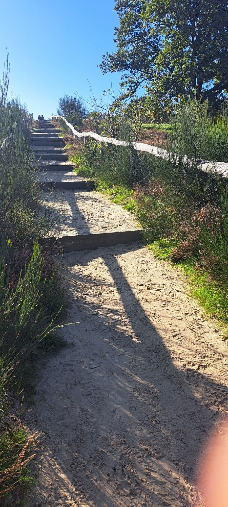
Holtingerveld is a landscape of stark contrasts, shaped by ice age glaciers and subsequent military use. Unlike the flatter agricultural plains nearby, this reserve is defined by the Havelterberg, a low push moraine that rises gently above the surrounding terrain. Walking here means navigating a mix of dry, sandy tracks that cut through heather-covered plains and damp depressions where wet heath and peat moss thrive. The ground underfoot changes constantly from loose inland dunes to firmer gravel paths.
Read more
About Holtingerveld
Holtingerveld is a landscape of stark contrasts, shaped by ice age glaciers and subsequent military use. Unlike the flatter agricultural plains nearby, this reserve is defined by the Havelterberg, a low push moraine that rises gently above the surrounding terrain. Walking here means navigating a mix of dry, sandy tracks that cut through heather-covered plains and damp depressions where wet heath and peat moss thrive. The ground underfoot changes constantly from loose inland dunes to firmer gravel paths.
Read moreHoltingerveld is a landscape of stark contrasts, shaped by ice age glaciers and subsequent military use. Unlike the flatter agricultural plains nearby, this reserve is defined by the Havelterberg, a low push moraine that rises gently above the surrounding terrain. Walking here means navigating a mix of dry, sandy tracks that cut through heather-covered plains and damp depressions where wet heath and peat moss thrive. The ground underfoot changes constantly from loose inland dunes to firmer gravel paths.
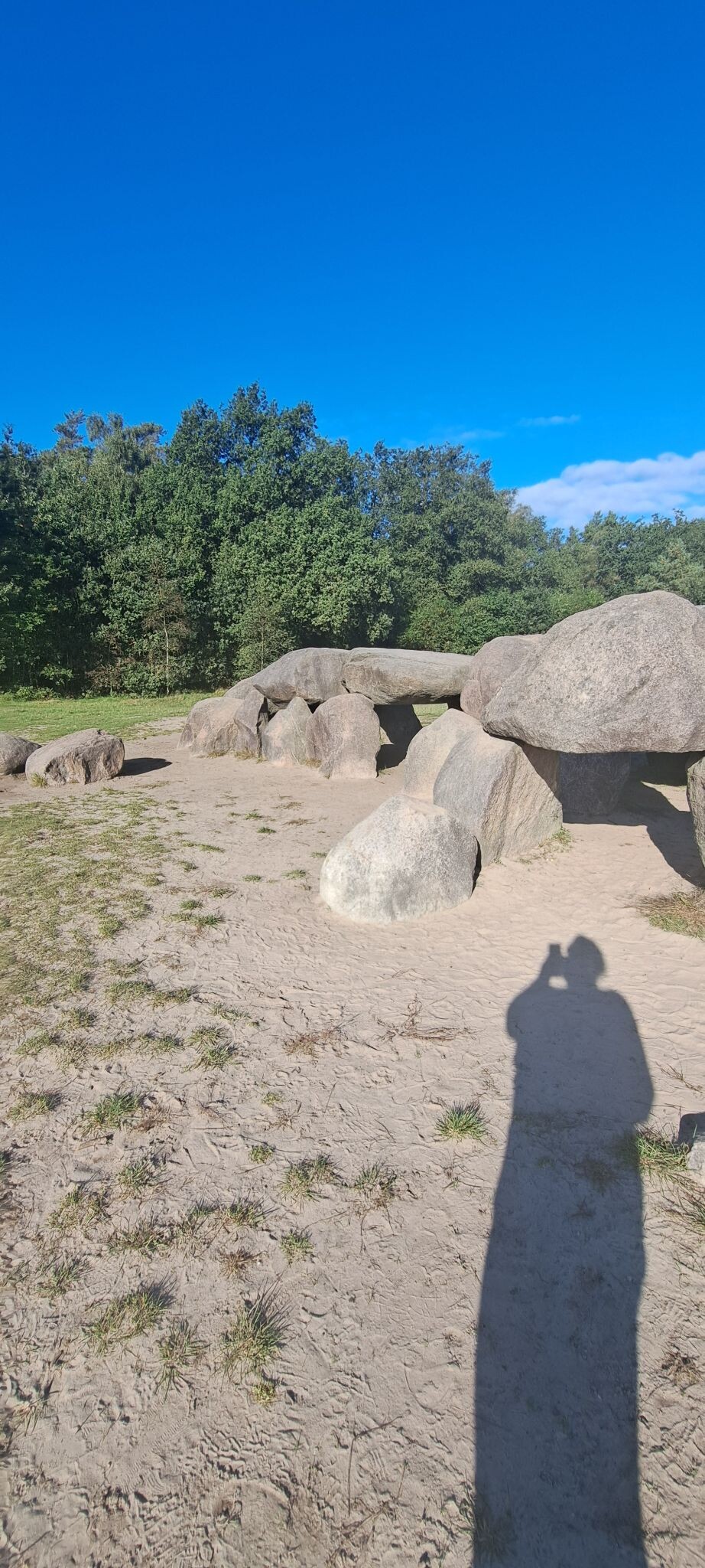
As you walk, the history of the landscape is visible in the earth. You will pass deep craters left by World War II bombings and massive stone dolmens, or hunebedden, built from glacial boulders. The northern section features open sand drifts where pioneering grasses struggle for a foothold, while the southern parts transition into dense pine plantations and birch woods. It is a varied terrain where open, windy plains alternate quickly with sheltered woodland paths.
This area is ideal for those who prefer rugged, undulating paths over paved tracks. While the main paths near the hunebedden attract visitors, the smaller sandy trails further into the heath offer a quieter experience. There are no boardwalks here, so walkers should expect uneven ground and loose sand that requires some effort to cross, especially on the slopes of the moraine.
Hiking routes in Holtingerveld (20)


#1. Diever Onderduikershol · De Ster van Dwingeloo etappe 2
Dwingeloo,Dieverbrug,Wittelte,Diever,Wapse


#2. Door de geschiedenis van Drenthe
Havelte,Uffelte,Darp


#3. Dorpsommetje Oosterzand
Uffelte,Wittelte


#4. Havelte - Steenwijk · Maarten van Rossumpad etappe 23
Steenwijk,Kallenkote,Darp,Havelte


#5. Holtingerveld - Diever · Drenthepad etappe 3
Havelte,Darp,Wapserveen,Uffelte,Wittelte,Diever


#6. Uffelte - Brandeveen · De Ster van Dwingeloo etappe 1
Dwingeloo,Ansen,Uffelte,Wittelte,Dieverbrug


#7. Ruinen - Holtingerveld · Drenthepad etappe 2
Ruinen,Ansen,Dwingeloo,Uffelte,Havelte
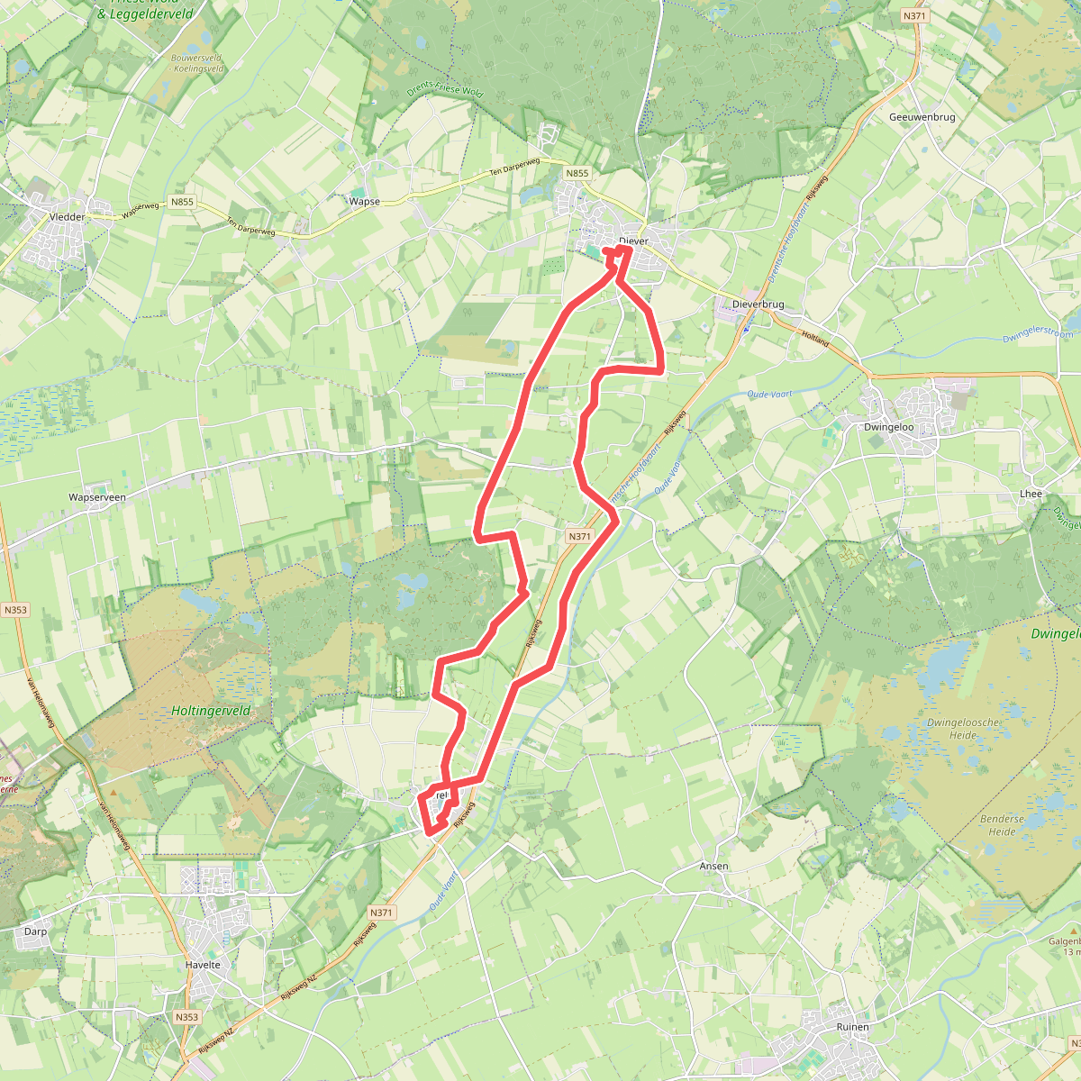
#8. Drents Friese Wold Kennedymars lus 2
Diever,Wittelte,Uffelte


#9. Havelte - Steenwijk - Giethoorn · Stellingenpad etappe 3
Darp,Kallenkote,Steenwijk,Onna,Nijeveen,Zuidveen,Giethoorn
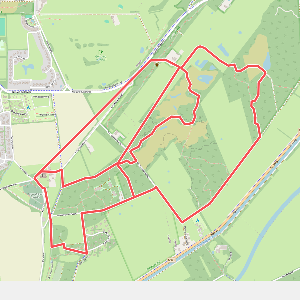
#10. Havelte: Uffelter Binnenveld
Havelte
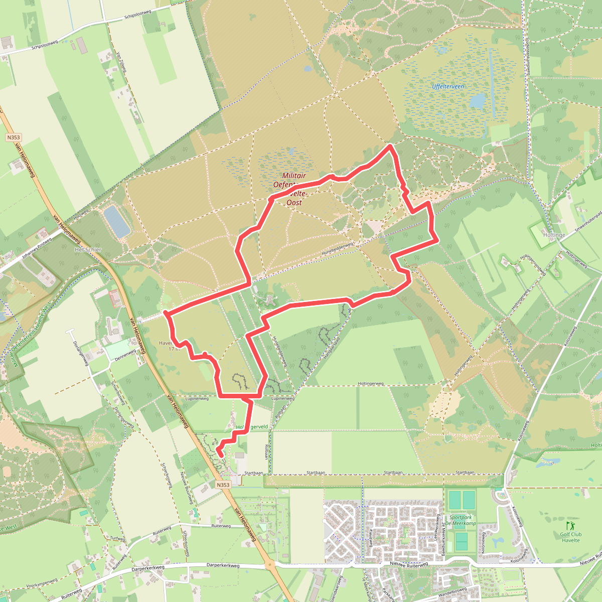


#11. IJsroute Havelte
Havelte,Darp


#12. Oorlogsroute Havelte
Havelte,Darp,Uffelte




