


The best hiking routes in Monte Prado
Discover the best walks in Monte Prado. 17 routes on the map, with descriptions, photos and GPX.
Managed by Parco nazionale Appennino Tosco-Emiliano
About Monte Prado
Monte Prado, the highest peak in Tuscany at 2,054 metres, offers a distinct walking experience within the Appennino Tosco-Emiliano national park. Unlike the rugged, jagged limestone peaks found in other parts of the Apennines, this mountain is characterised by its gentle, rounded grassy ridges and vast glacial cirques. Walkers will notice how the dense beech forests of the lower slopes abruptly give way to open, wind-swept alpine meadows and bilberry vaccinium scrub as the elevation increases. This transition defines the visual character of the climb, revealing a softer, undulating highland landscape.
Read more
About Monte Prado
Monte Prado, the highest peak in Tuscany at 2,054 metres, offers a distinct walking experience within the Appennino Tosco-Emiliano national park. Unlike the rugged, jagged limestone peaks found in other parts of the Apennines, this mountain is characterised by its gentle, rounded grassy ridges and vast glacial cirques. Walkers will notice how the dense beech forests of the lower slopes abruptly give way to open, wind-swept alpine meadows and bilberry vaccinium scrub as the elevation increases. This transition defines the visual character of the climb, revealing a softer, undulating highland landscape.
Read moreMonte Prado, the highest peak in Tuscany at 2,054 metres, offers a distinct walking experience within the Appennino Tosco-Emiliano national park. Unlike the rugged, jagged limestone peaks found in other parts of the Apennines, this mountain is characterised by its gentle, rounded grassy ridges and vast glacial cirques. Walkers will notice how the dense beech forests of the lower slopes abruptly give way to open, wind-swept alpine meadows and bilberry vaccinium scrub as the elevation increases. This transition defines the visual character of the climb, revealing a softer, undulating highland landscape.
The underfoot conditions change from soft forest loam and leaf litter on the lower approaches to rocky, scree-strewn dirt tracks along the ridges. A key feature of the mountain's northern bowl is the small glacial lake, Lago Bargetana, where the terrain flattens into a damp, grassy basin. Walking here requires navigating stony paths that demand steady footwork, particularly on the final grassy scramble to the summit ridge where the trail narrows.
This is a landscape shaped by ancient glaciers and sheep grazing, leaving a bare, open mountainside above the treeline. In July, the alpine meadows are marked by the flowering of specialized high-altitude plants, while October brings deep rust and gold tones to the beech canopy below. While the main trails leading from the pass at Passo della Cisa or the Abetina Reale can see regular foot traffic on weekends, the vast ridges of Monte Prado generally offer a more solitary, spacious walking experience than the busier nearby summits.
Hiking routes in Monte Prado (17)
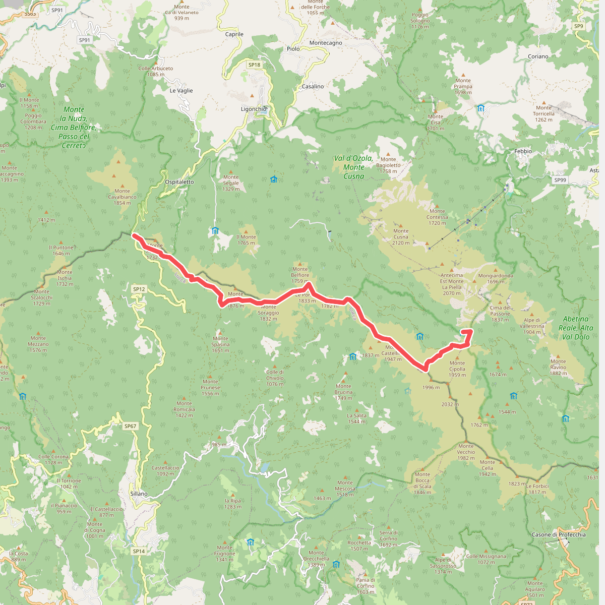
#1. Alta via dei Parchi: Tappa 05
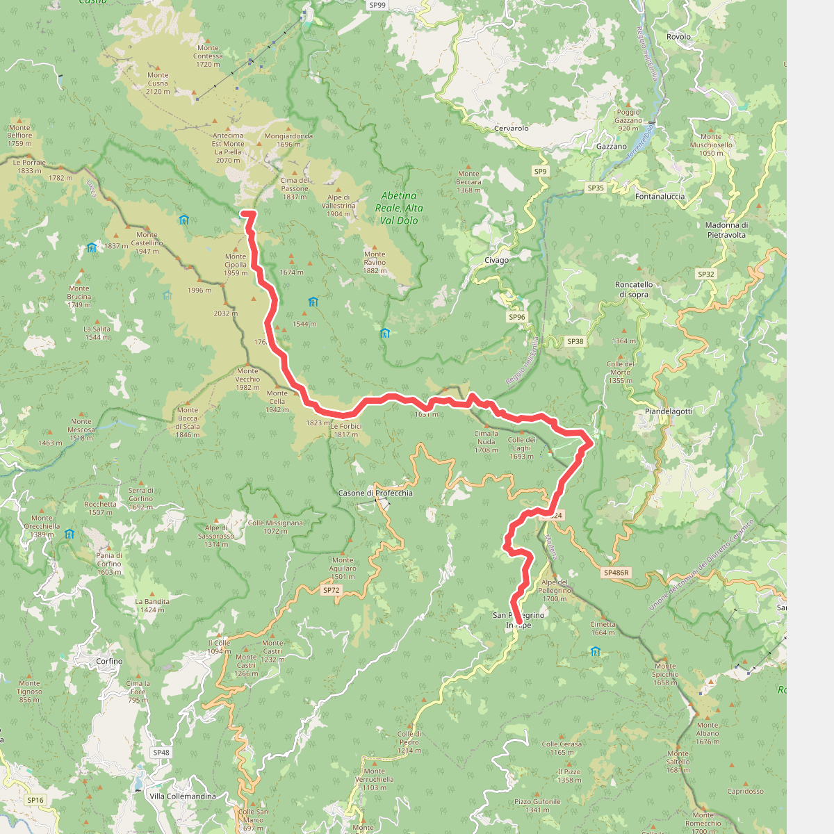
#2. Alta via dei Parchi: Tappa 06
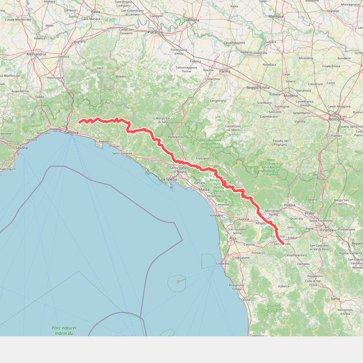
#3. Cammino di Assisi, Genova - San Miniato

#4. E1 Toscana 06 Passo di Pradarena - Passo delle Radici

#5. E1 Toscana 06 – Variante 6.2

#6. Garfagnana Trekking - Tappa 7

#7. Garfagnana Trekking - Tappa 8

#8. Grande Escursione Appenninica - Tappa 17

#9. Grande Escursione Appenninica - Tappa 18

#10. Sentieri Partigiani SP11 - sentiero del Cane Azzurro

#11. Sentiero Airone 3





