


The best hiking routes in Naturpark Altmühltal
Discover the best walks in Naturpark Altmühltal. 296 routes on the map, with descriptions, photos and GPX.
Managed by Naturpark Altmühltal (Südliche Frankenalb) e.V.
About Naturpark Altmühltal
Naturpark Altmühltal is defined by a slow-flowing river that has carved a wide valley through the southern Franconian Jura. Walkers will find a landscape of steep limestone cliffs, dry juniper slopes, and beech forests. The valley floor is flat and agricultural, while the valley sides rise sharply to meet the surrounding plateau. This is a landscape of white rock outcrops and terraced sheep pastures, rather than dense wilderness or high alpine peaks.
Read more
About Naturpark Altmühltal
Naturpark Altmühltal is defined by a slow-flowing river that has carved a wide valley through the southern Franconian Jura. Walkers will find a landscape of steep limestone cliffs, dry juniper slopes, and beech forests. The valley floor is flat and agricultural, while the valley sides rise sharply to meet the surrounding plateau. This is a landscape of white rock outcrops and terraced sheep pastures, rather than dense wilderness or high alpine peaks.
Read moreNaturpark Altmühltal is defined by a slow-flowing river that has carved a wide valley through the southern Franconian Jura. Walkers will find a landscape of steep limestone cliffs, dry juniper slopes, and beech forests. The valley floor is flat and agricultural, while the valley sides rise sharply to meet the surrounding plateau. This is a landscape of white rock outcrops and terraced sheep pastures, rather than dense wilderness or high alpine peaks.
Underfoot, the paths vary between soft forest soil, stony limestone tracks, and grassy trails across the downs. The main valley route is well-marked and generally wide, but climbing up to the crags requires navigating narrow, rocky paths with exposed tree roots. In May, the dry grasslands are filled with wild orchids and pasqueflowers, while the beech woods on the slopes provide deep shade.
This area is not a place for high-altitude climbing or deep forest isolation. The valley is a working landscape, meaning you will frequently see small villages, castles, and active quarries from the trail. The most famous rock formations can attract crowds on weekends, but the paths leading up onto the quiet plateau forests offer a much more solitary walking experience.
Hiking routes in Naturpark Altmühltal (296)
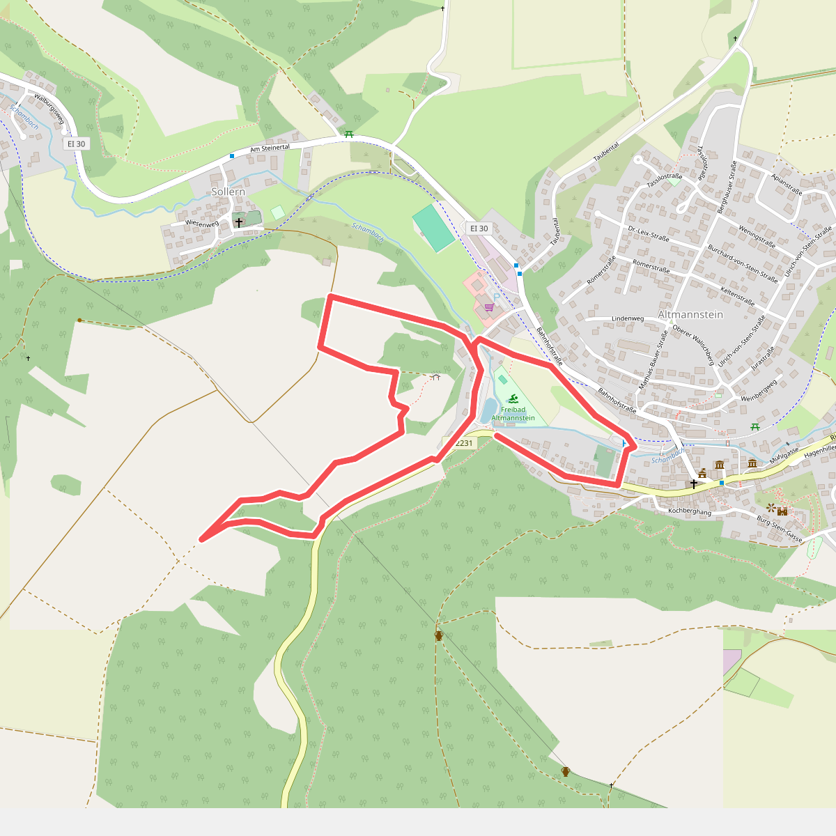
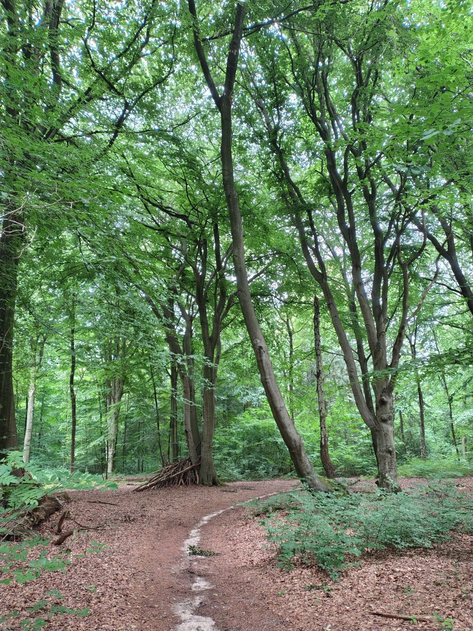
#1. Galgenbergweg
Altmannstein
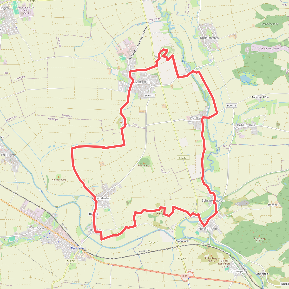
#2. 7-Hügel-Weg
Alerheim,Harburg (Schwaben),Möttingen
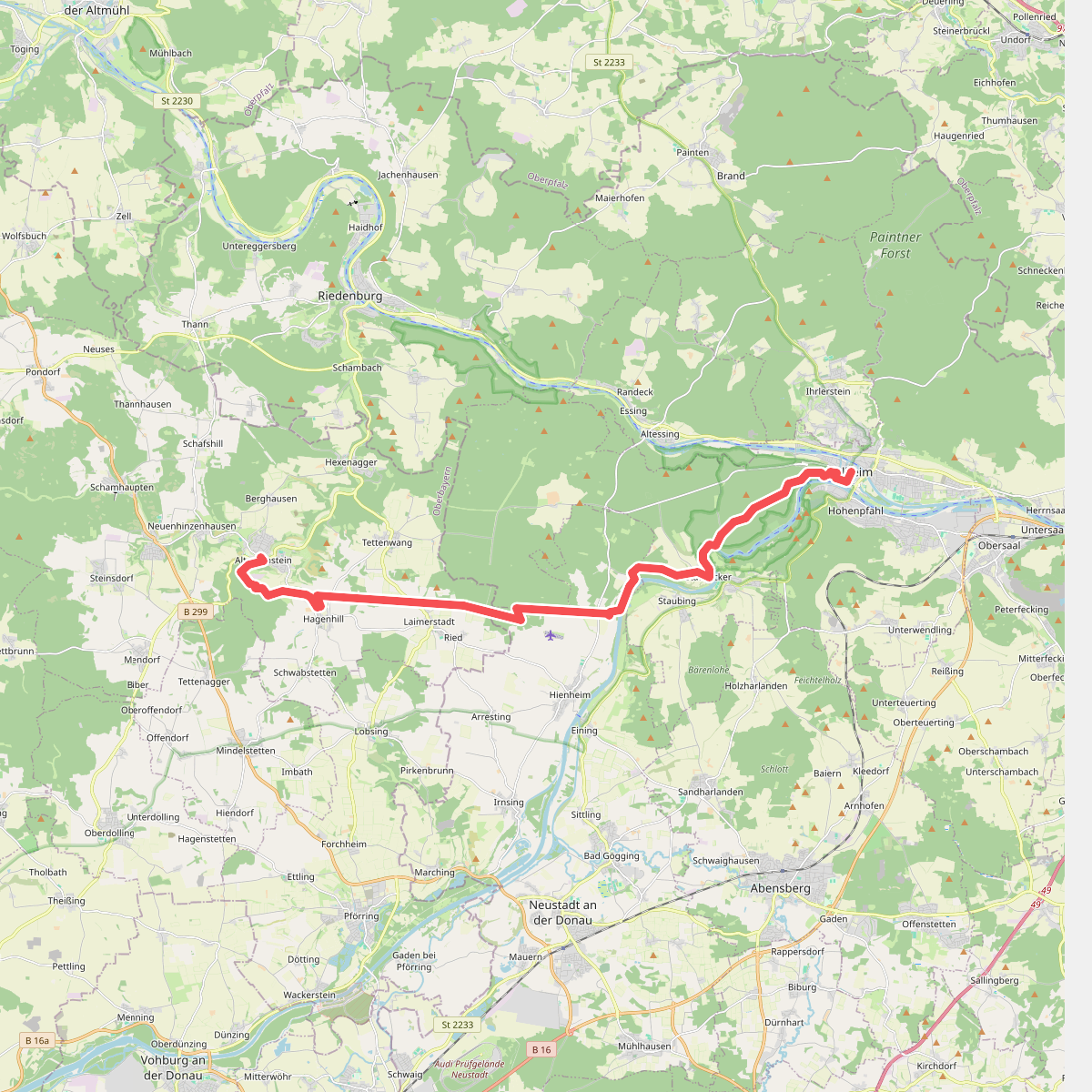
#3. Altmannstein - Kelheim
Altmannstein,Neustadt an der Donau,Kelheim
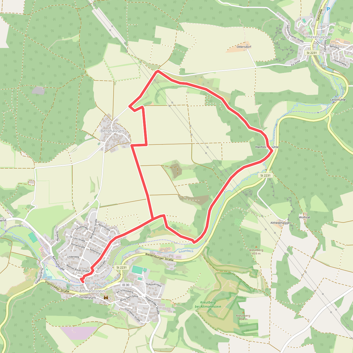
#4. Altmannstein Rundweg 3
Altmannstein
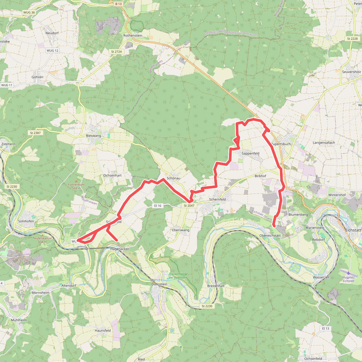
#5. Altmühl Panoramaweg Schlaufe 12 Schernfeld
Schernfeld
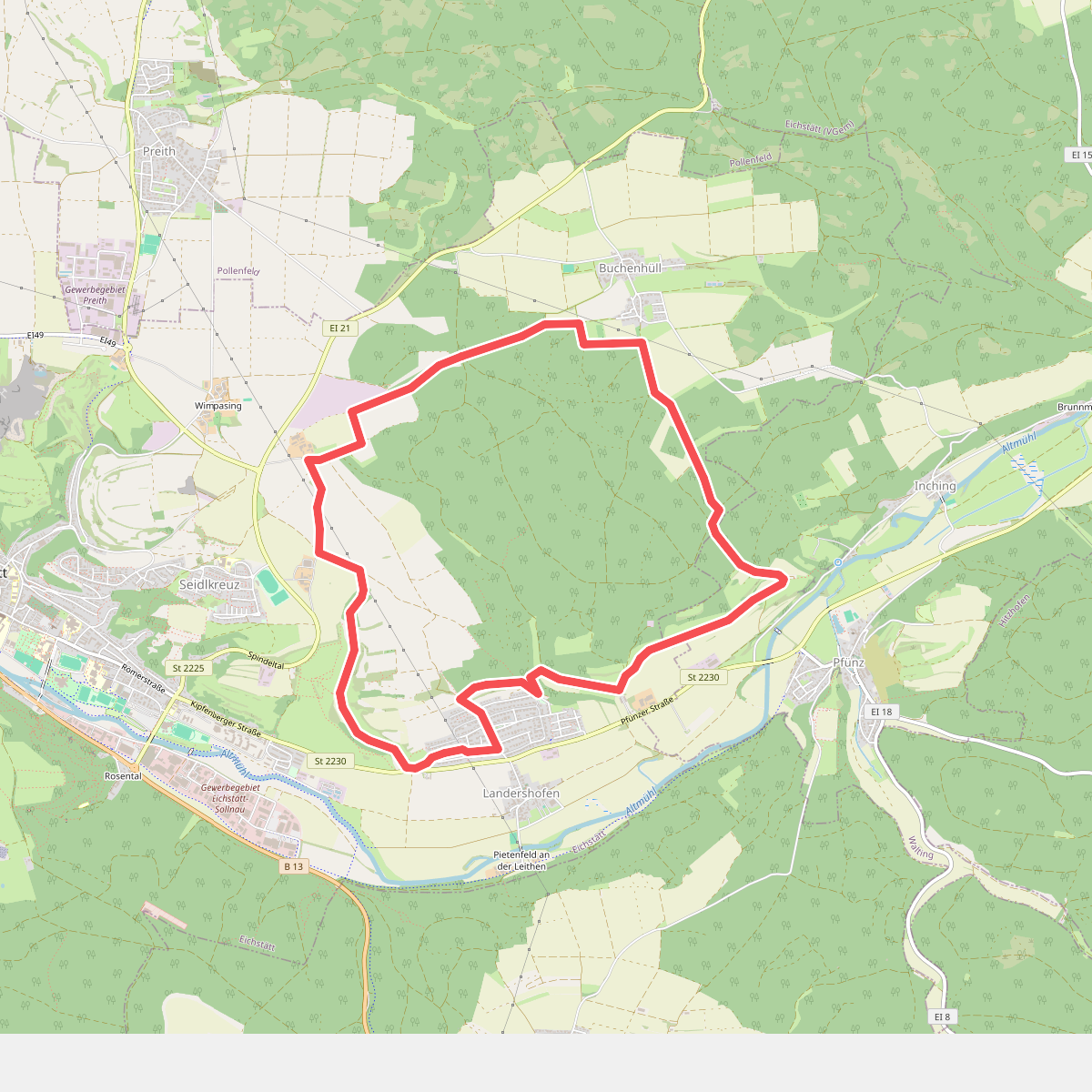
#6. Altmühl Panoramaweg Schlaufe 14 Eichstätt
Eichstätt,Walting
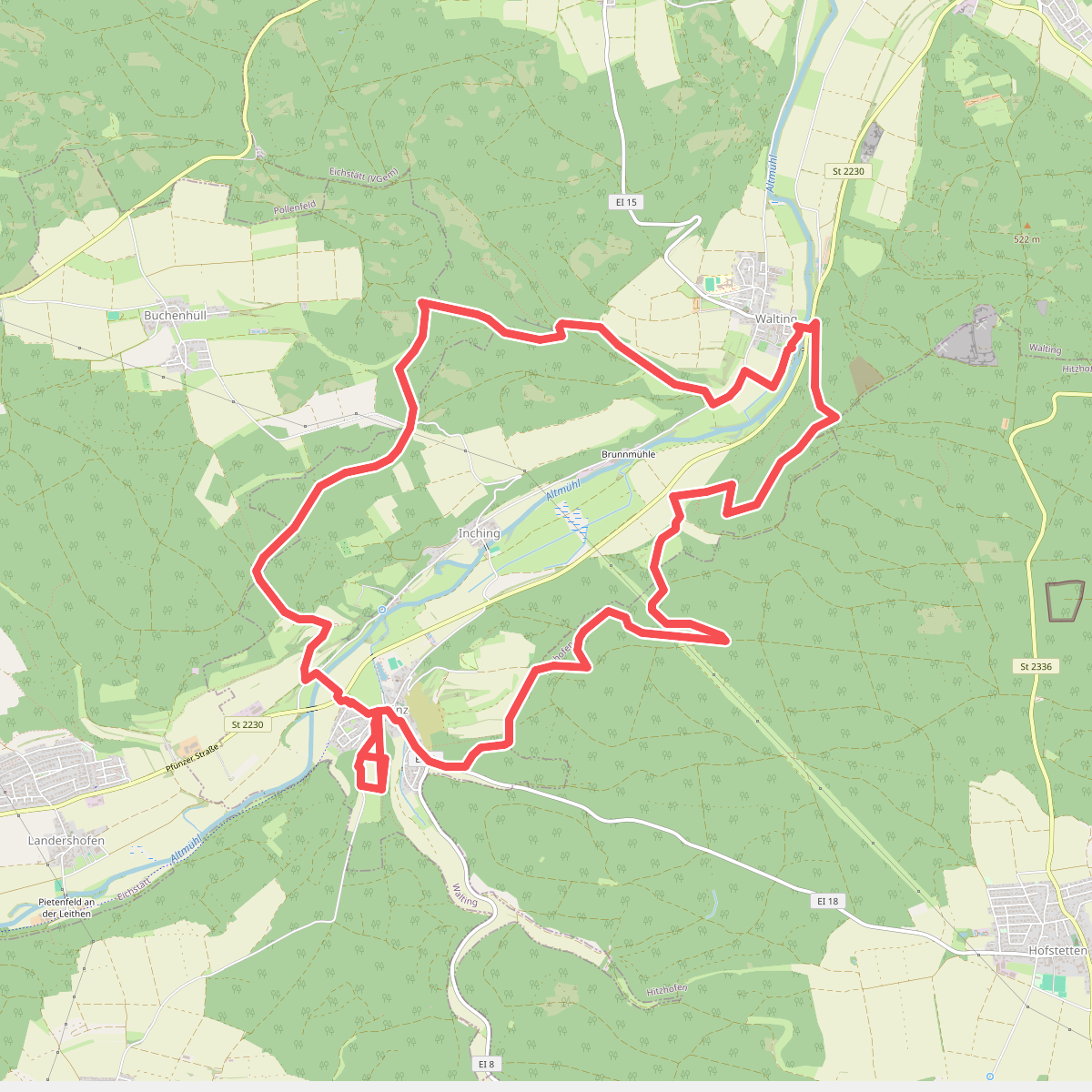
#7. Altmühl Panoramaweg Schlaufe 15 Walting
Walting,Eichstätt,Hitzhofen
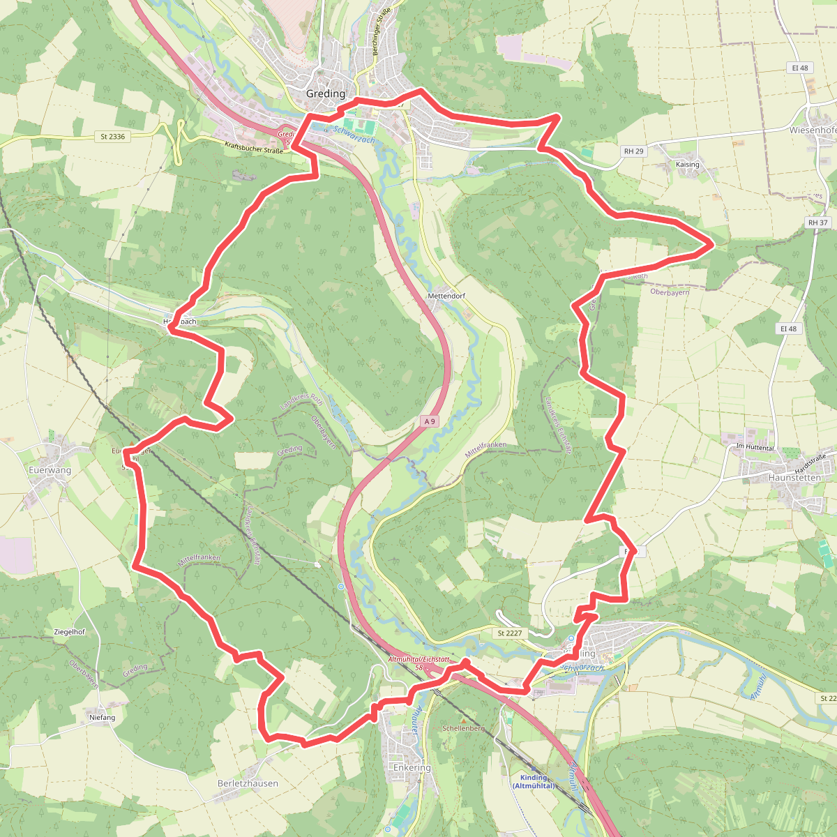
#8. Altmühl Panoramaweg Schlaufe 19 Schwarzachtal-Panoramaweg
Kinding,Greding
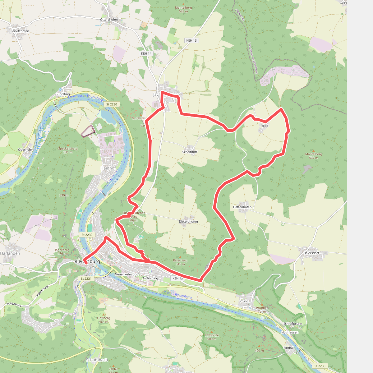
#9. Altmühl Panoramaweg Schlaufe 25 Riedenburg
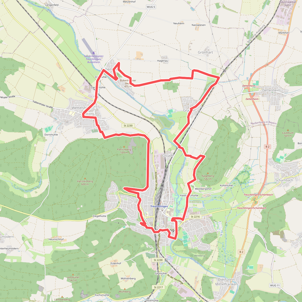
#10. Altmühl Panoramaweg Schlaufe 6 Altmuehlblick-Weg
Treuchtlingen
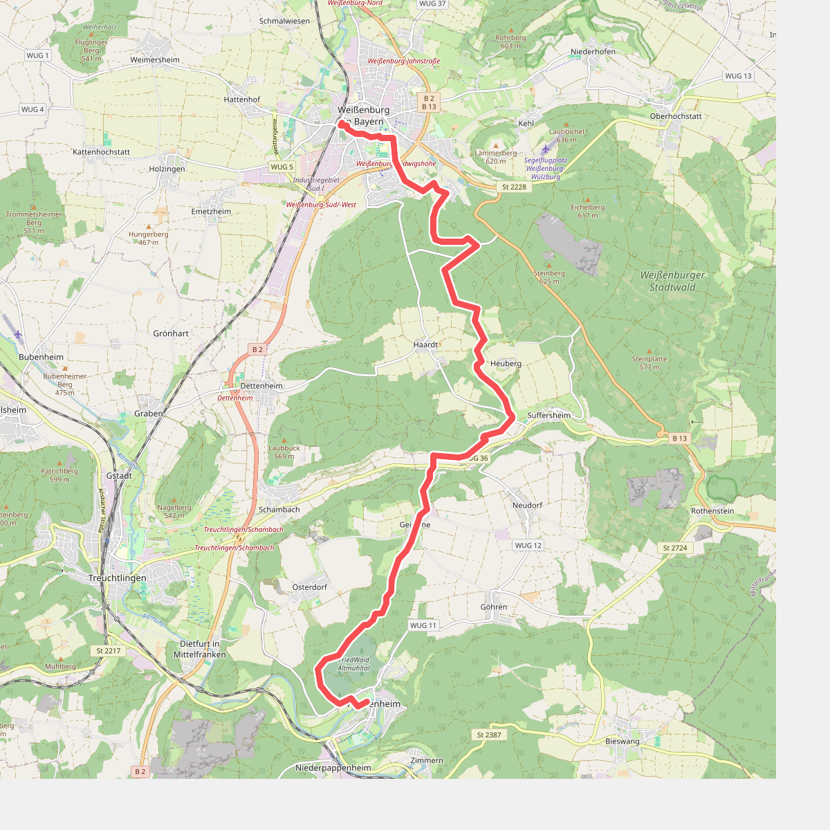
#11. Altmühl Panoramaweg Schlaufe 7 Weissenburger Reichsstadtweg
Weißenburg in Bayern,Pappenheim
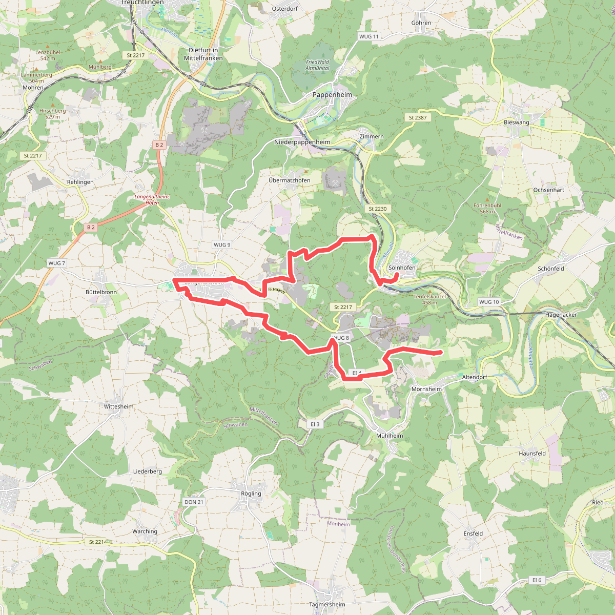
#12. Altmühl Panoramaweg Schlaufe 9 Solnhofen-Langenaltheim-Moernsheim
Solnhofen,Pappenheim,Langenaltheim,Mörnsheim




