The best hiking routes in Naturpark Bayerische Rhön
Discover the best walks in Naturpark Bayerische Rhön. 327 routes on the map, with descriptions, photos and GPX.
About Naturpark Bayerische Rhön
Naturpark Bayerische Rhön is characterized by its open, basaltic highland plateau, known as the Hohe Rhön, which contrasts sharply with the densely forested valleys of neighboring regions. Instead of jagged peaks or deep gorges, walkers will find a gently rolling, high-altitude landscape shaped by ancient volcanic activity and centuries of sheep grazing. This lack of tree cover on the highest ridges means that paths are highly exposed to the elements, offering wide views across rough meadows and peat bogs rather than sheltered woodland walking.
Read more
About Naturpark Bayerische Rhön
Naturpark Bayerische Rhön is characterized by its open, basaltic highland plateau, known as the Hohe Rhön, which contrasts sharply with the densely forested valleys of neighboring regions. Instead of jagged peaks or deep gorges, walkers will find a gently rolling, high-altitude landscape shaped by ancient volcanic activity and centuries of sheep grazing. This lack of tree cover on the highest ridges means that paths are highly exposed to the elements, offering wide views across rough meadows and peat bogs rather than sheltered woodland walking.
Read moreNaturpark Bayerische Rhön is characterized by its open, basaltic highland plateau, known as the Hohe Rhön, which contrasts sharply with the densely forested valleys of neighboring regions. Instead of jagged peaks or deep gorges, walkers will find a gently rolling, high-altitude landscape shaped by ancient volcanic activity and centuries of sheep grazing. This lack of tree cover on the highest ridges means that paths are highly exposed to the elements, offering wide views across rough meadows and peat bogs rather than sheltered woodland walking.
Underfoot, the terrain varies from the stony, basalt-strewn tracks of the high pastures to the wooden boardwalks that protect the fragile, wet peat of the Schwarzes Moor. In these upland bogs, the path is strictly defined to protect rare mosses and dwarf birches. Lower down the slopes, the trail surface transitions into softer forest soil and gravel forestry tracks as you enter patches of beech woodland.
In May, the open meadows of the plateau are marked by the yellow blooms of globeflowers, a distinct seasonal feature of these high-elevation grasslands. Walkers should expect steady, moderate climbs rather than steep scrambles, making the area suitable for long-distance striding rather than technical mountaineering. The most popular spots around the high moors can be busy on weekends, but the extensive network of grassy paths across the wider plateau remains relatively quiet.
Hiking routes in Naturpark Bayerische Rhön (327)
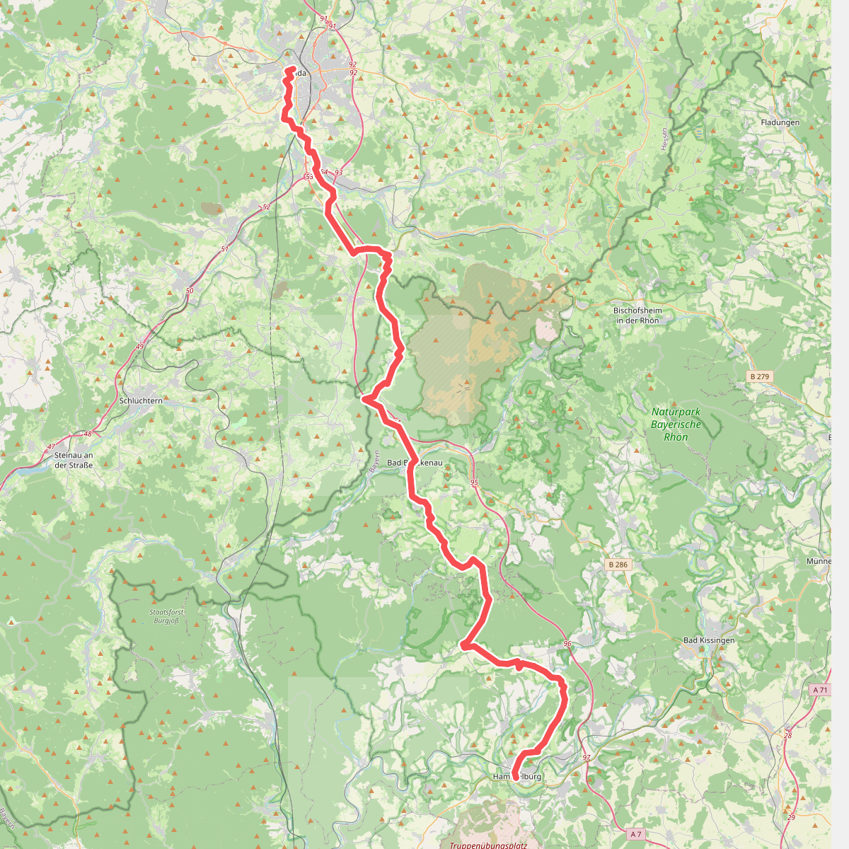
#1. Abtsweg
Fulda,Motten,Römershager Forst-Nord,Bad Brückenau,Oberleichtersbach,Schondra,Geiersnest Ost,Neuwirtshauser Forst,Wartmannsroth,Oberthulba,Hammelburg

#2. Altengronau - Rundweg am Grauberg - Tanne

#3. Bad Bocklet - Rundweg BB3
Bad Bocklet

#4. Bad Bocklet Rundweg BB4
Bad Bocklet

#5. Bad Bocklet - Rundweg BB5
Bad Bocklet

#6. Bad Bocklet Rundweg BB6

#7. Bad Bocklet Rundweg BB7
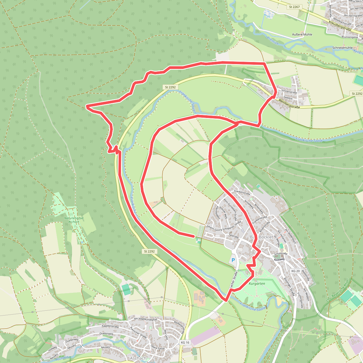
#8. Bad Bocklet - Rundweg BB8
Bad Bocklet
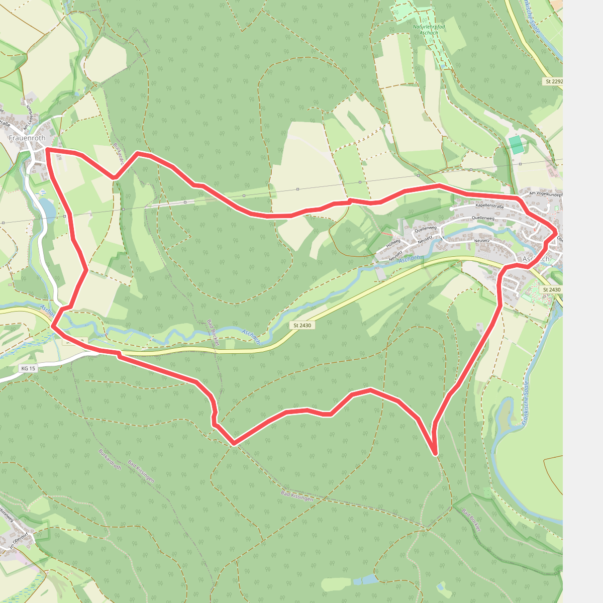
#9. Bad Bocklet - Rundweg F
Bad Bocklet,Bad Kissingen,Burkardroth
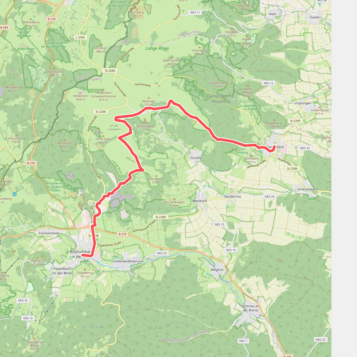
#10. Bischofsheim - Oberelsbach
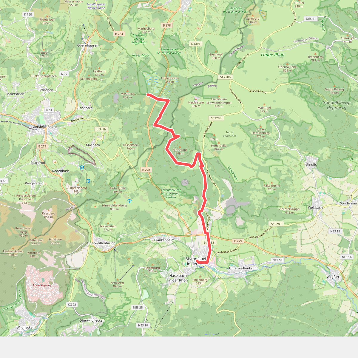
#11. Bischofsheim - Rotes Moor