


The best hiking routes in Naturpark Kaunergrat
Discover the best walks in Naturpark Kaunergrat. 18 routes on the map, with descriptions, photos and GPX.


About Naturpark Kaunergrat
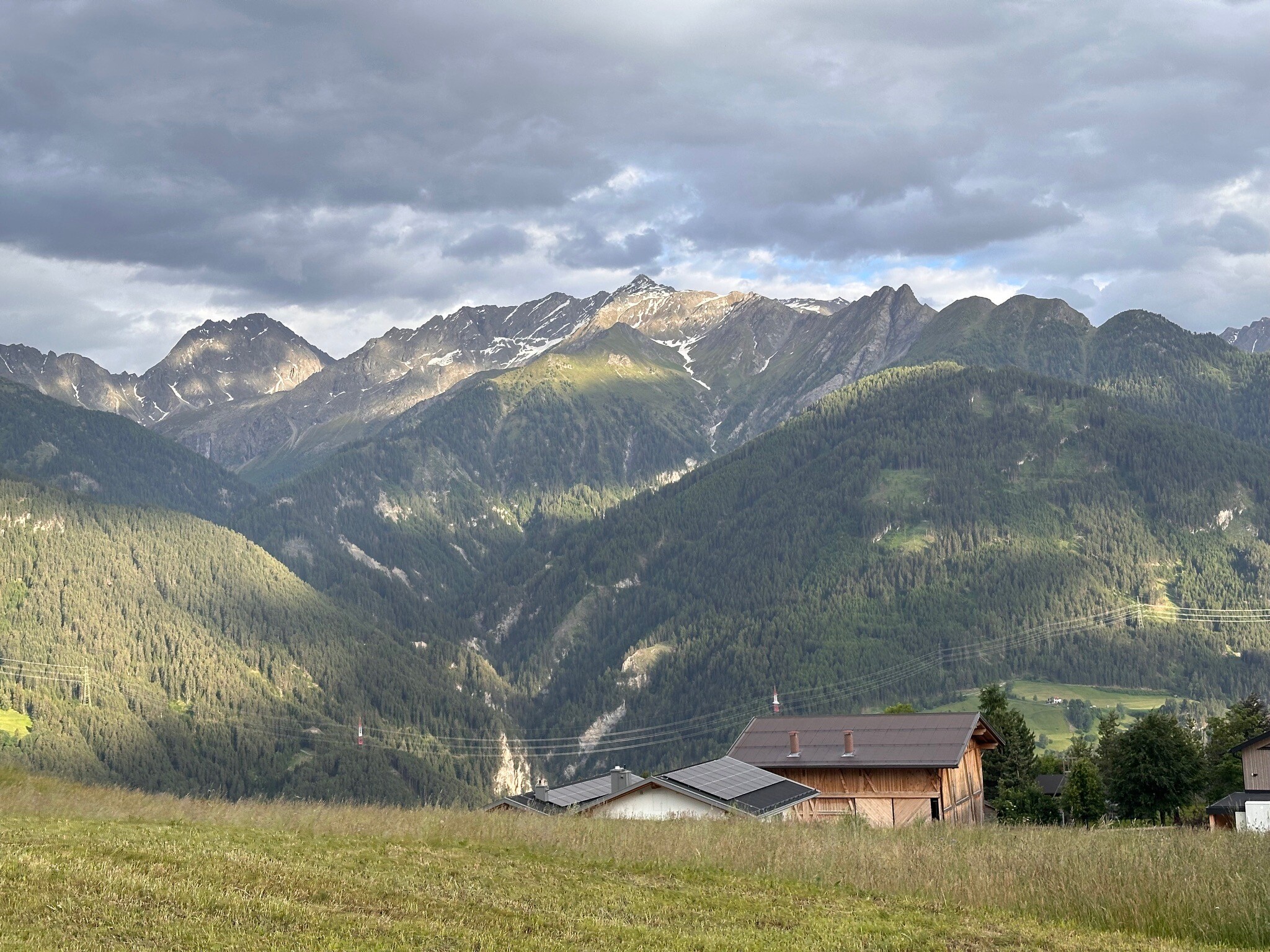
Naturpark Kaunergrat is defined by its extreme vertical transition from the dry, sun-baked slopes of the Inn Valley up to the glaciated summits of the Ötztal Alps. Unlike gentler alpine pastures, this park is characterized by steep, craggy terrain where dense pine forests quickly give way to vast boulder fields and scree. Underfoot, walkers will mostly encounter rough, rocky paths, loose stone, and steep alpine tracks rather than smooth meadows or flat boardwalks.
Read more
About Naturpark Kaunergrat
Naturpark Kaunergrat is defined by its extreme vertical transition from the dry, sun-baked slopes of the Inn Valley up to the glaciated summits of the Ötztal Alps. Unlike gentler alpine pastures, this park is characterized by steep, craggy terrain where dense pine forests quickly give way to vast boulder fields and scree. Underfoot, walkers will mostly encounter rough, rocky paths, loose stone, and steep alpine tracks rather than smooth meadows or flat boardwalks.
Read moreNaturpark Kaunergrat is defined by its extreme vertical transition from the dry, sun-baked slopes of the Inn Valley up to the glaciated summits of the Ötztal Alps. Unlike gentler alpine pastures, this park is characterized by steep, craggy terrain where dense pine forests quickly give way to vast boulder fields and scree. Underfoot, walkers will mostly encounter rough, rocky paths, loose stone, and steep alpine tracks rather than smooth meadows or flat boardwalks.
One of the most distinct features of this landscape is the Piller Moor, a high-altitude peat bog where the ground changes to soft, springy moss and peat, accessible via wooden boardwalks. This wetland contrasts sharply with the nearby dry, terraced slopes of the Fließer Sonnenhänge, where sub-Mediterranean plants grow on limestone. Walkers should expect significant elevation gains on almost every route, as the terrain rises sharply from the valley floor.
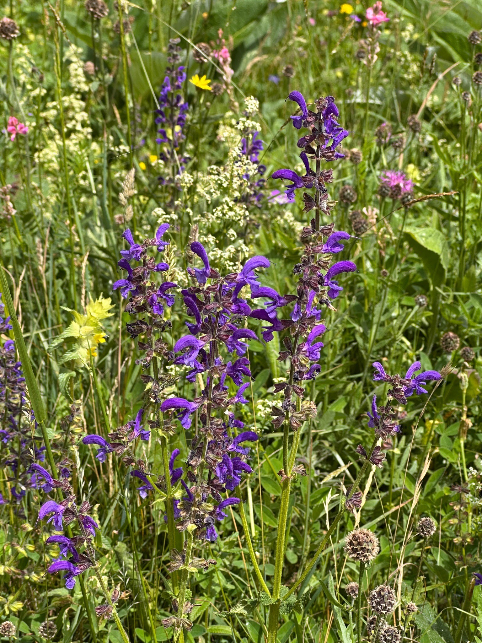
In June, the lower meadows are filled with flowering alpine plants, while the high-altitude passes often remain blocked by snow patches. The park is not a place for flat, easy strolls; it requires steady footwork on uneven ground. While the main visitor center at the Gachen Blick pass can be busy, the higher rocky trails and steep forest paths offer a much quieter, more demanding walking experience.
Hiking routes in Naturpark Kaunergrat (18)

#1. Aifneralm Wanderweg
Kaunerberg,Fließ

#2. Cottbuser Höhenweg
Sankt Leonhard im Pitztal

#3. Fuldaer Höhenweg
Sankt Leonhard im Pitztal

#4. Offenbacher Höhenweg
Sankt Leonhard im Pitztal

#5. Ötztal Trek Etappe 14

#6. Ötztal Trek Etappe 15

#7. Ötztal Trek Etappe 17

#8. Venter Höhenweg
Sölden

#9. Via Alpina Yellow B33

#10. Via Alpina Yellow B35

#11. Wanderweg 25
Kaunertal

#12. Wanderweg 902
Kaunertal




