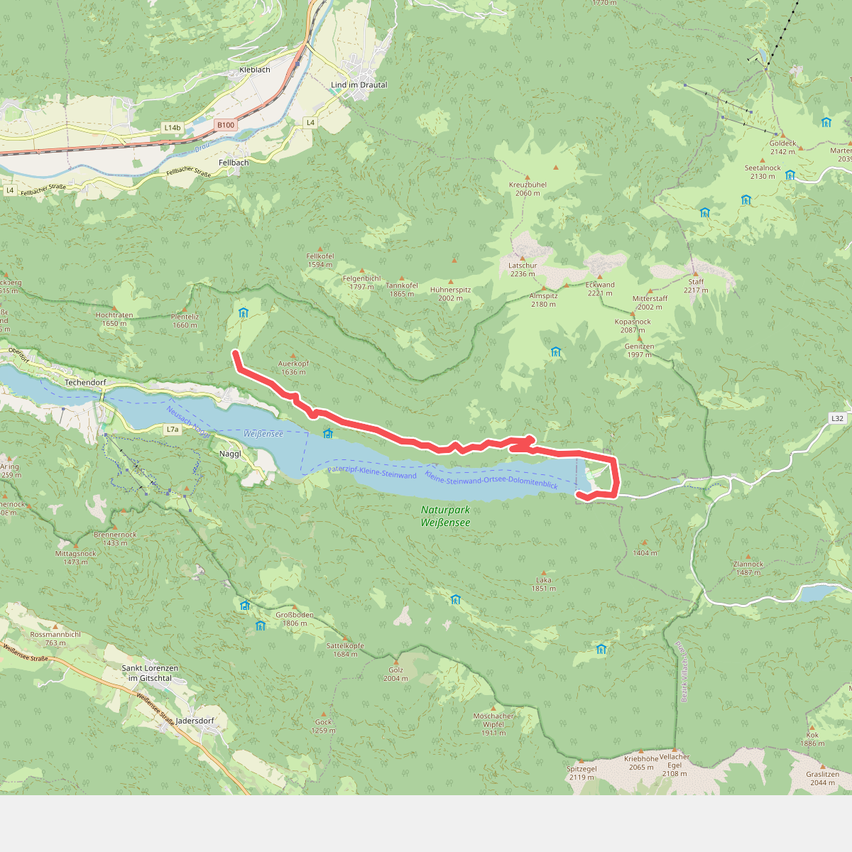
The best hiking routes in Naturpark Weißensee
Discover the best walks in Naturpark Weißensee. 29 routes on the map, with descriptions, photos and GPX.
About Naturpark Weißensee
Naturpark Weißensee centers around a high-altitude, fjord-like lake in Carinthia, surrounded by steep forested hillsides and alpine meadows. Unlike flatter valley parks, the terrain here is defined by sharp elevation changes. The northern shore is largely undeveloped and accessible only by narrow footpaths, while the southern side features wider forestry tracks. Walkers will find a mix of gravel paths, steep woodland trails over tree roots, and lakeside boardwalks.
Read more
About Naturpark Weißensee
Naturpark Weißensee centers around a high-altitude, fjord-like lake in Carinthia, surrounded by steep forested hillsides and alpine meadows. Unlike flatter valley parks, the terrain here is defined by sharp elevation changes. The northern shore is largely undeveloped and accessible only by narrow footpaths, while the southern side features wider forestry tracks. Walkers will find a mix of gravel paths, steep woodland trails over tree roots, and lakeside boardwalks.
Read moreNaturpark Weißensee centers around a high-altitude, fjord-like lake in Carinthia, surrounded by steep forested hillsides and alpine meadows. Unlike flatter valley parks, the terrain here is defined by sharp elevation changes. The northern shore is largely undeveloped and accessible only by narrow footpaths, while the southern side features wider forestry tracks. Walkers will find a mix of gravel paths, steep woodland trails over tree roots, and lakeside boardwalks.
The landscape is shaped by its limestone geology, which gives the lake its characteristic turquoise color and creates steep, rocky outcrops along the water. As you walk, you will notice the transition from dense spruce and fir forests on the shaded slopes to open, sun-exposed meadows filled with mountain wildflowers in June and July. There are no rugged, high-alpine peaks to climb within the park boundaries, but the lakeside paths offer constant, close-up views of the water.
While the main lakeside trails near the western and eastern shores can be busy with visitors, the steeper paths leading up into the surrounding hills offer a quieter experience. Underfoot, the terrain requires sturdy footwear due to loose gravel and exposed roots, particularly on the steeper ascents. The park is best suited for those who appreciate a mix of lakeside walking and moderate forest climbs rather than high-altitude mountaineering.
Hiking routes in Naturpark Weißensee (29)
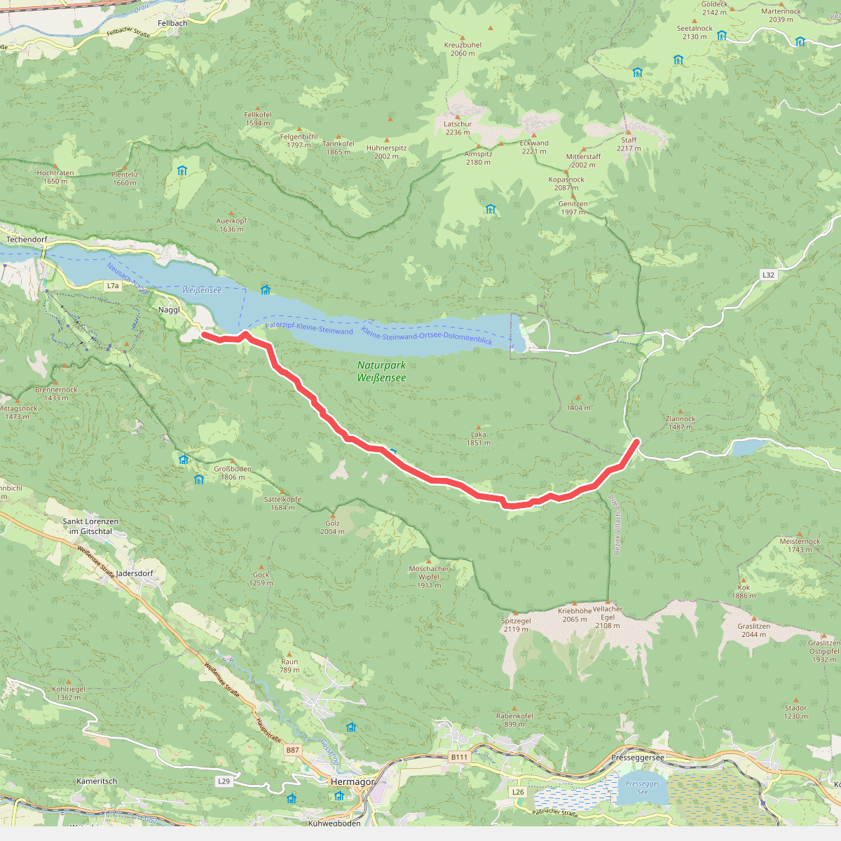
#1. Bodenalmweg
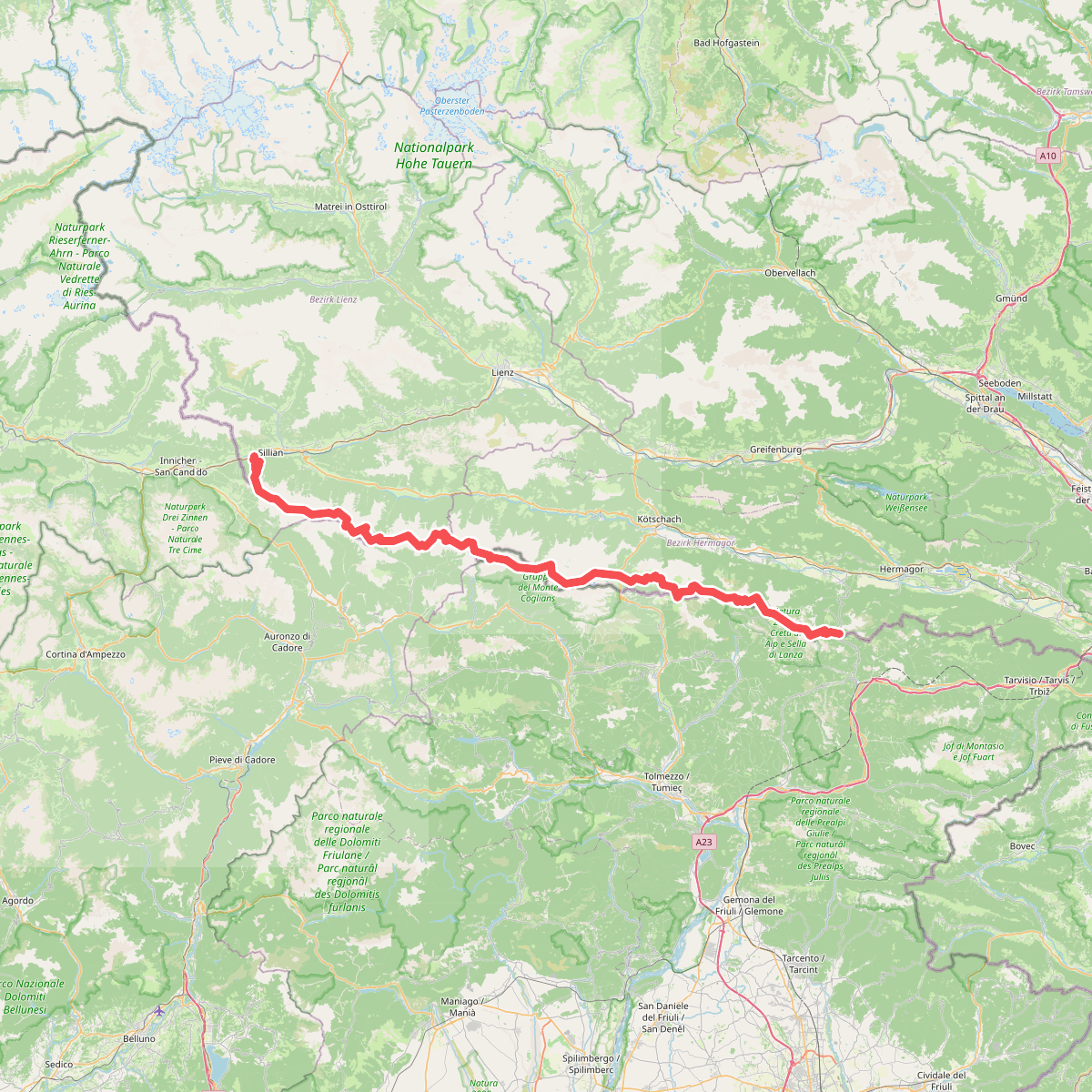
#2. Europäischer Fernwanderweg E10 (Nassfeld - Silian)
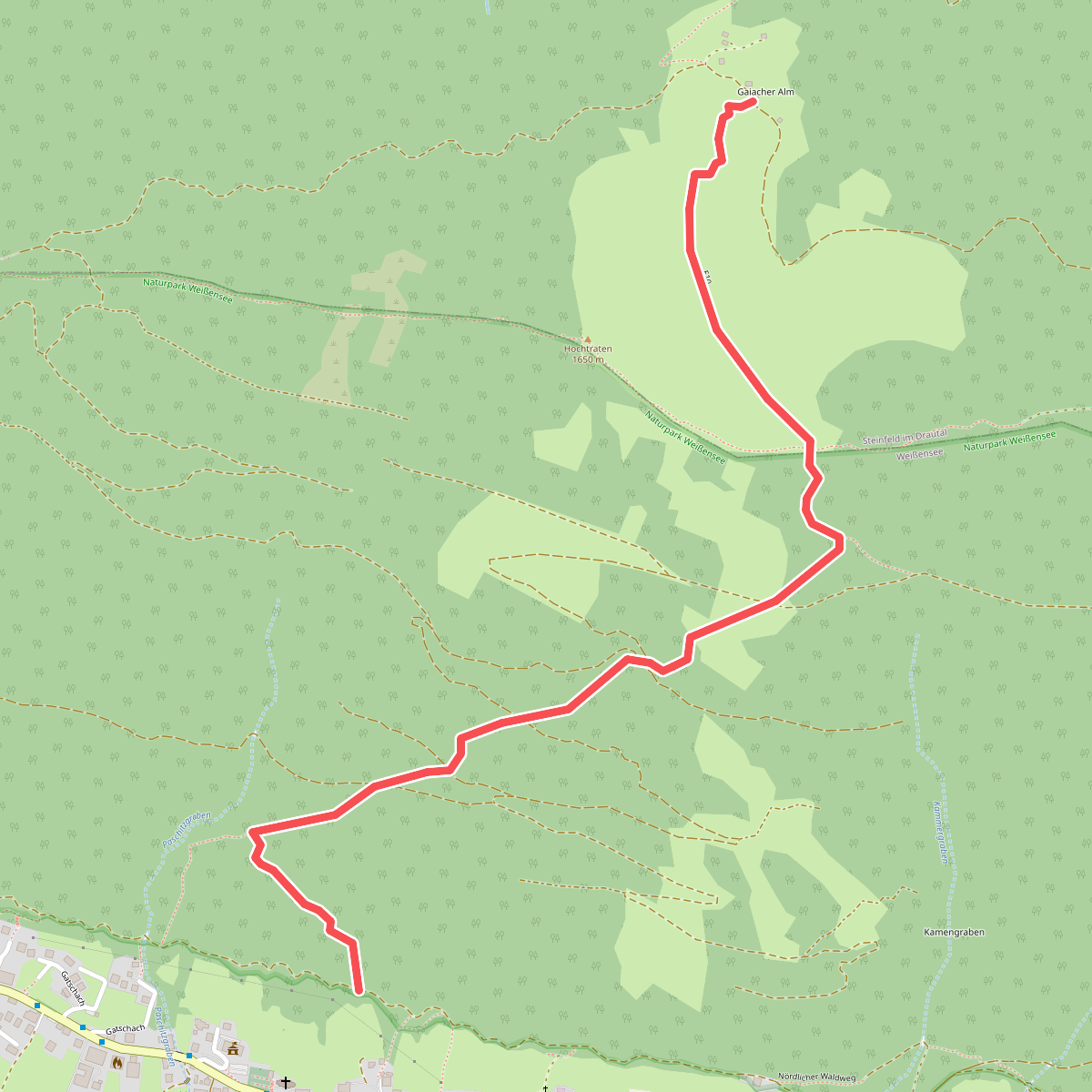
#3. Gajacher Alm - Hochtrateb
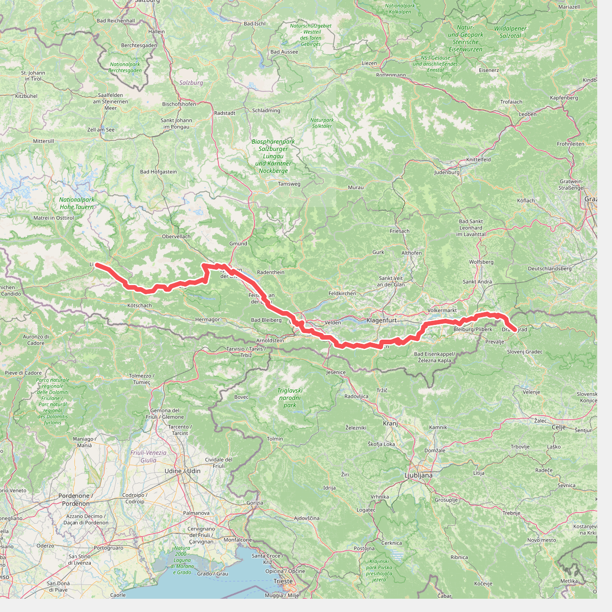
#4. Jakobsweg Kärnten
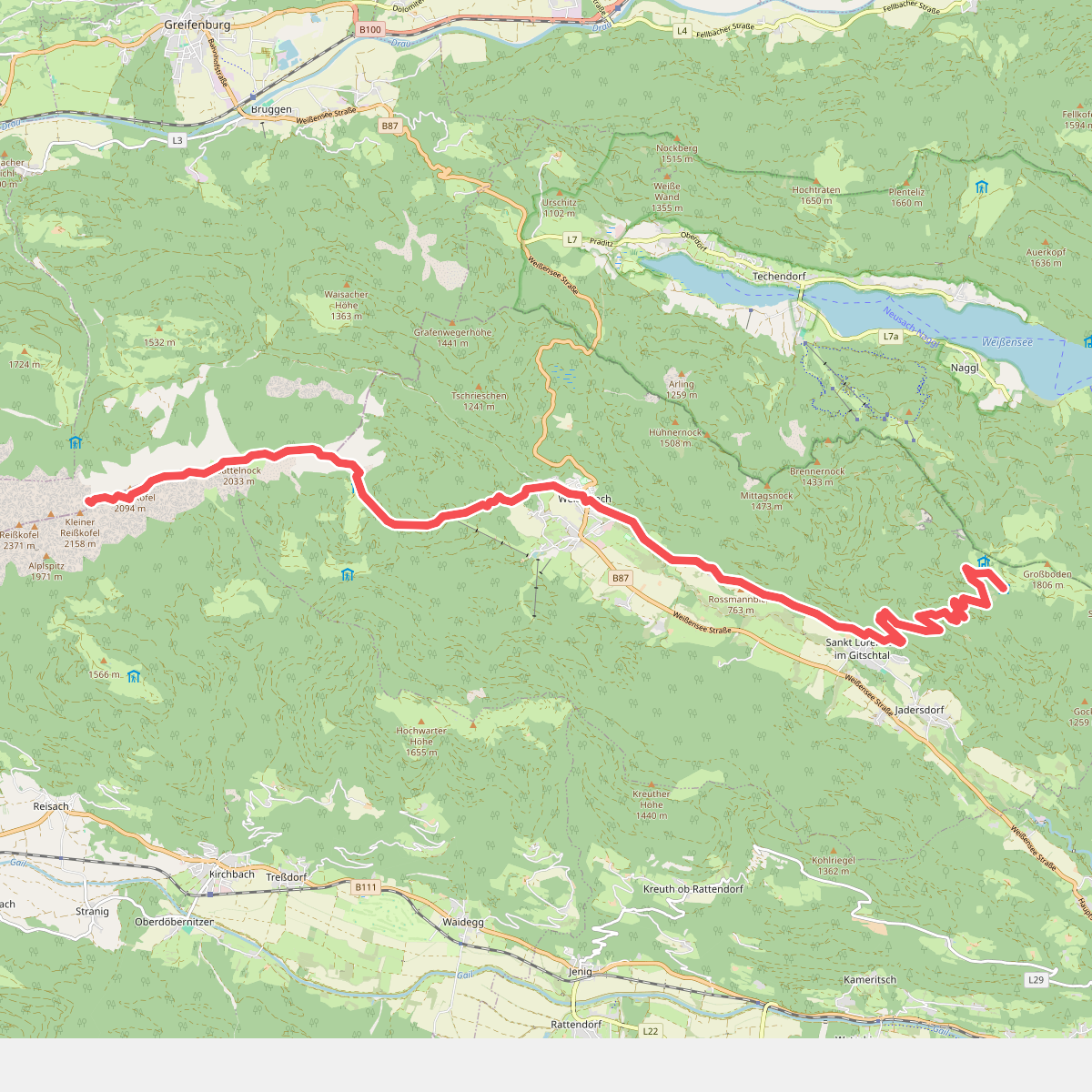
#5. JK27
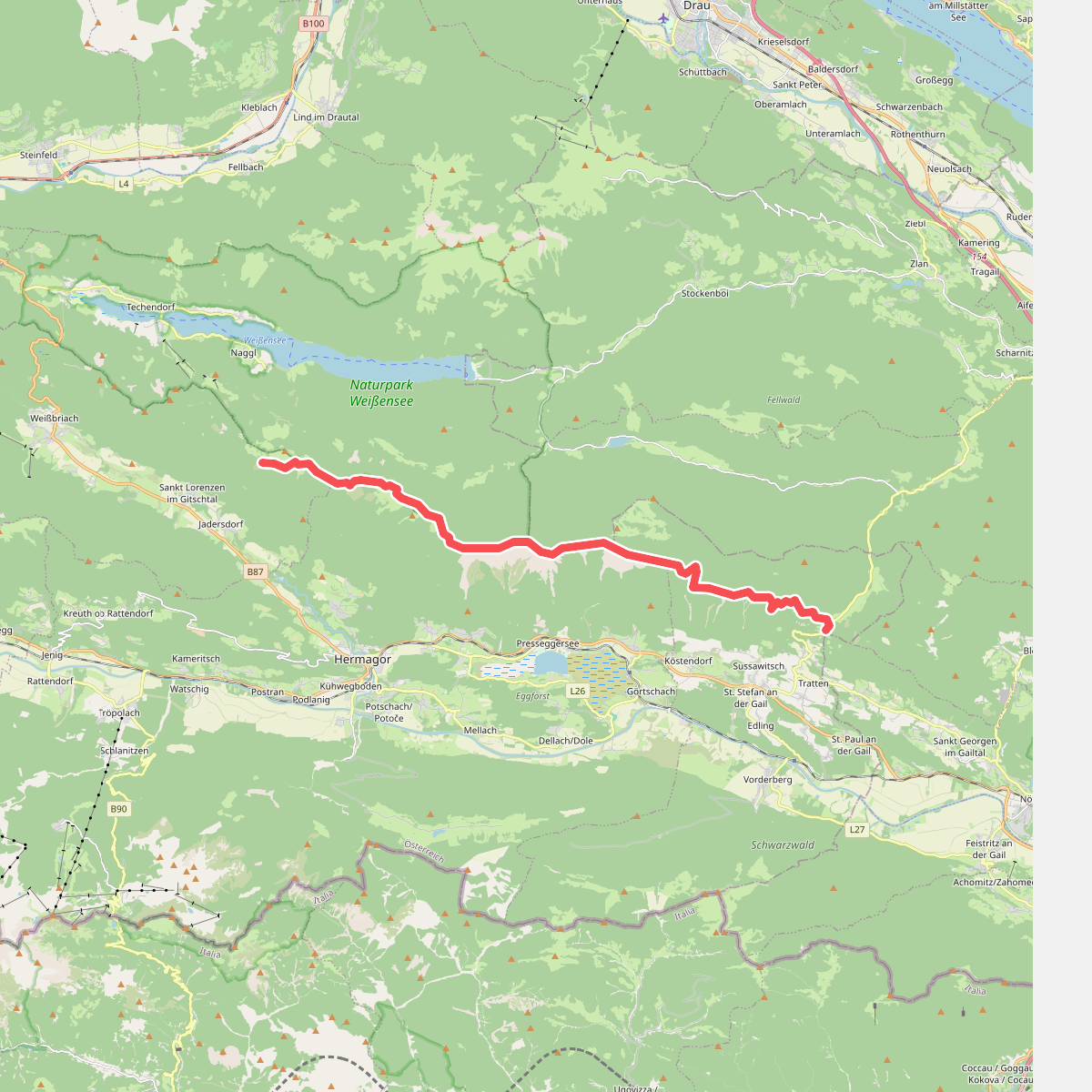
#6. JK28
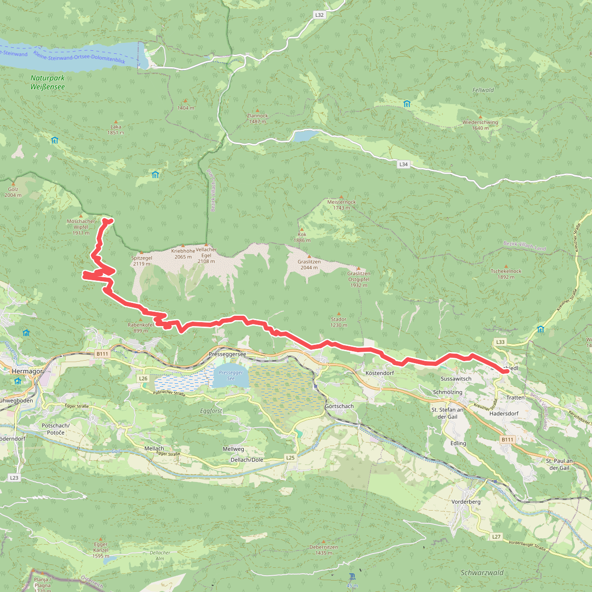
#7. Julius Kugy-Dreiländerweg E 28A
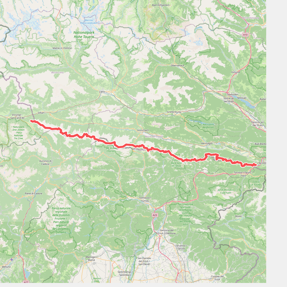
#8. Karnischer Höhenweg 403
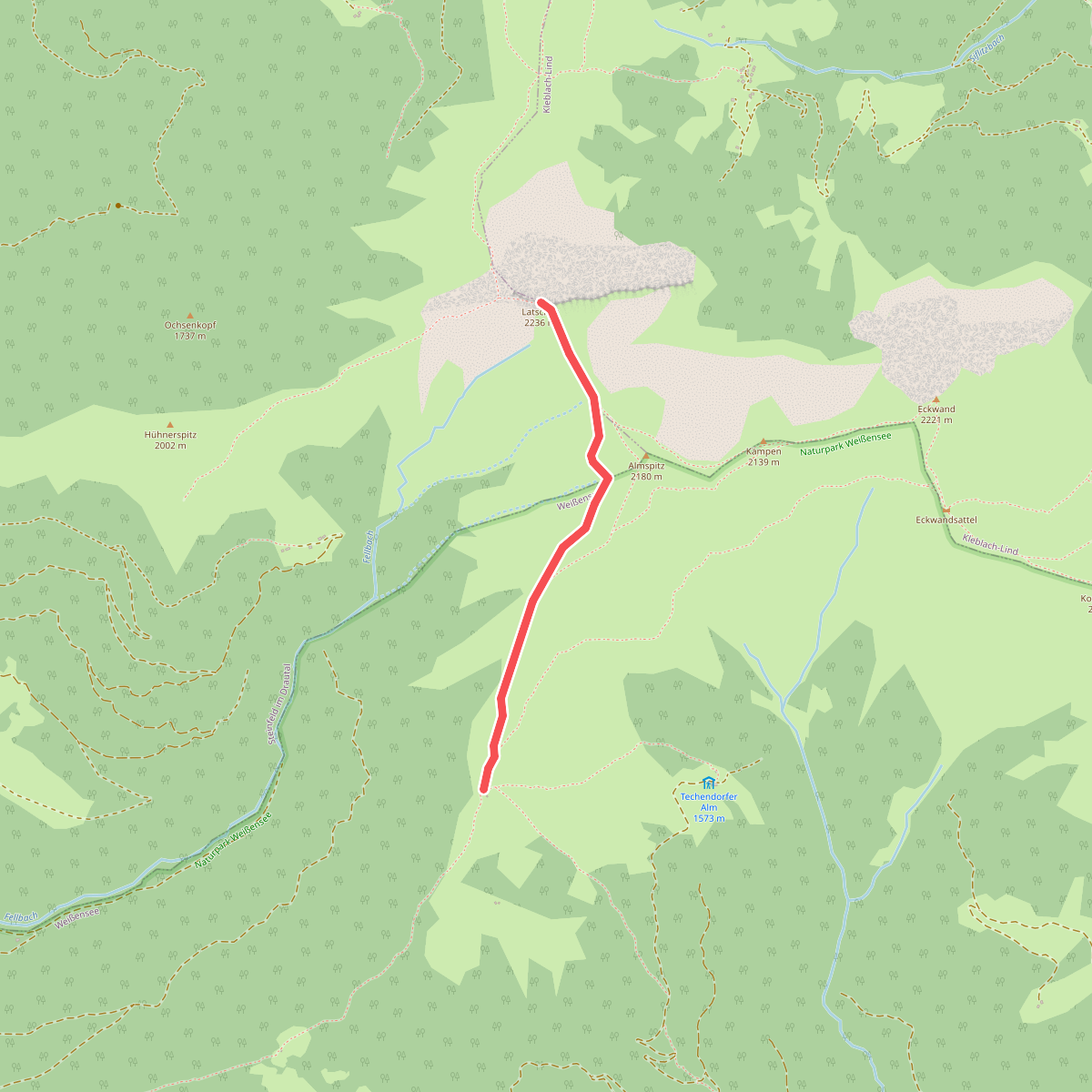
#9. Latschur 264
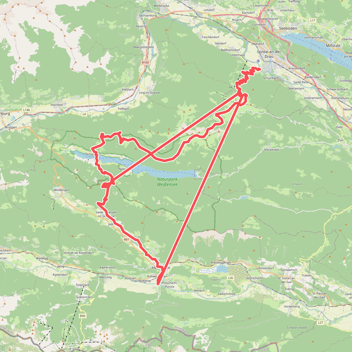
#10. Rupertiweg
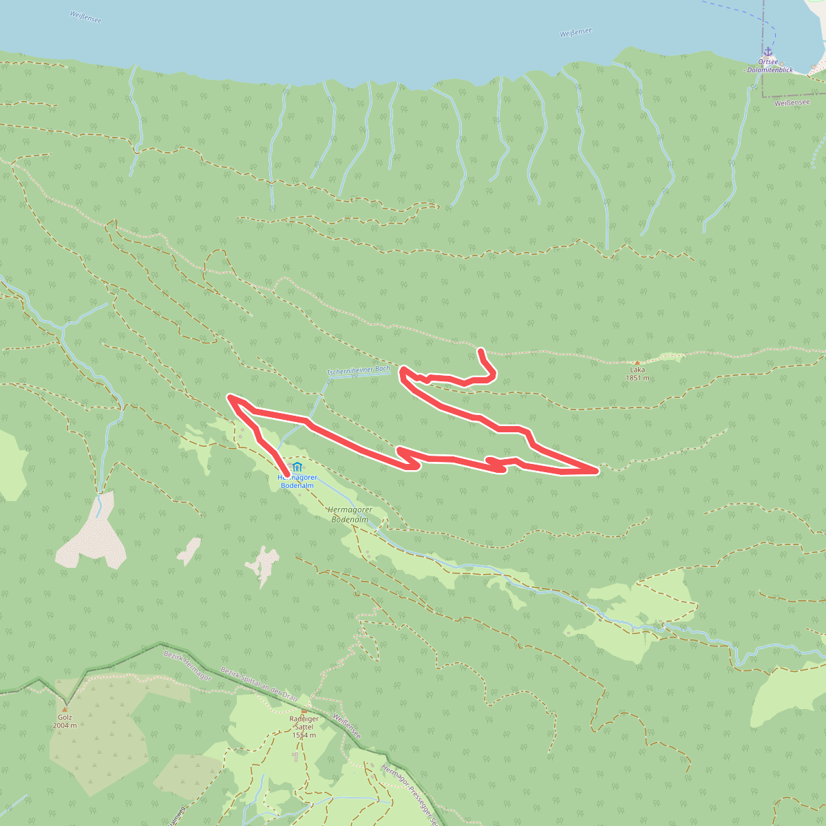
#11. Verbindungsweg 30b