


The best hiking routes in Parco regionale Campo dei Fiori
Discover the best walks in Parco regionale Campo dei Fiori. 13 routes on the map, with descriptions, photos and GPX.
Managed by Consorzio di gestione del Parco Regionale Campo dei Fiori
About Parco regionale Campo dei Fiori
Parco regionale Campo dei Fiori rises abruptly above the Varese hills, presenting a steep limestone ridge that contrasts sharply with the flatter Lombardy plains to the south. Walkers will find two distinct faces to this mountain block: the sheer, rocky southern slopes covered in deciduous woodland, and the cooler, damper northern slopes where beech and spruce forests dominate. The underlying karst geology means water quickly disappears underground, carving out extensive cave systems beneath your feet, while leaving the surface paths dry and stony.
Read more
About Parco regionale Campo dei Fiori
Parco regionale Campo dei Fiori rises abruptly above the Varese hills, presenting a steep limestone ridge that contrasts sharply with the flatter Lombardy plains to the south. Walkers will find two distinct faces to this mountain block: the sheer, rocky southern slopes covered in deciduous woodland, and the cooler, damper northern slopes where beech and spruce forests dominate. The underlying karst geology means water quickly disappears underground, carving out extensive cave systems beneath your feet, while leaving the surface paths dry and stony.
Read moreParco regionale Campo dei Fiori rises abruptly above the Varese hills, presenting a steep limestone ridge that contrasts sharply with the flatter Lombardy plains to the south. Walkers will find two distinct faces to this mountain block: the sheer, rocky southern slopes covered in deciduous woodland, and the cooler, damper northern slopes where beech and spruce forests dominate. The underlying karst geology means water quickly disappears underground, carving out extensive cave systems beneath your feet, while leaving the surface paths dry and stony.
Underfoot, the trails vary from broad, dirt forestry tracks on the lower slopes to narrow, rough paths strewn with loose limestone rocks and exposed tree roots along the ridgeline. As you climb, the dense chestnut forests give way to open beech woods, which are particularly striking in October when the leaves turn copper. The ridge itself offers clear views of the lakes below and the distant high peaks, though the walking here requires careful footwork over uneven stone steps and occasional exposed bedrock.
This is not a wilderness of gentle meadows or soft pine needles, but a rugged, vertical landscape where most routes involve significant climbing. The main ridge path can become busy on weekends with local walkers, but the quieter northern trails through the deep valleys of the Ganna and Brinzio sectors offer a more enclosed, forested experience. You will not find open heathland or sandy tracks here; instead, the park is characterized by its steep gradients, shaded ravines, and the transition from suburban foothills to mountain forest.
Hiking routes in Parco regionale Campo dei Fiori (13)

#1. 311 Comerio - Sentiero 310A

#2. 315 - Brinzio-Badia di Ganna

#3. Bregazzana - Monte Martica

#4. Brinzio - Monte Martica

#5. Ciclopedonale Lago di Varese
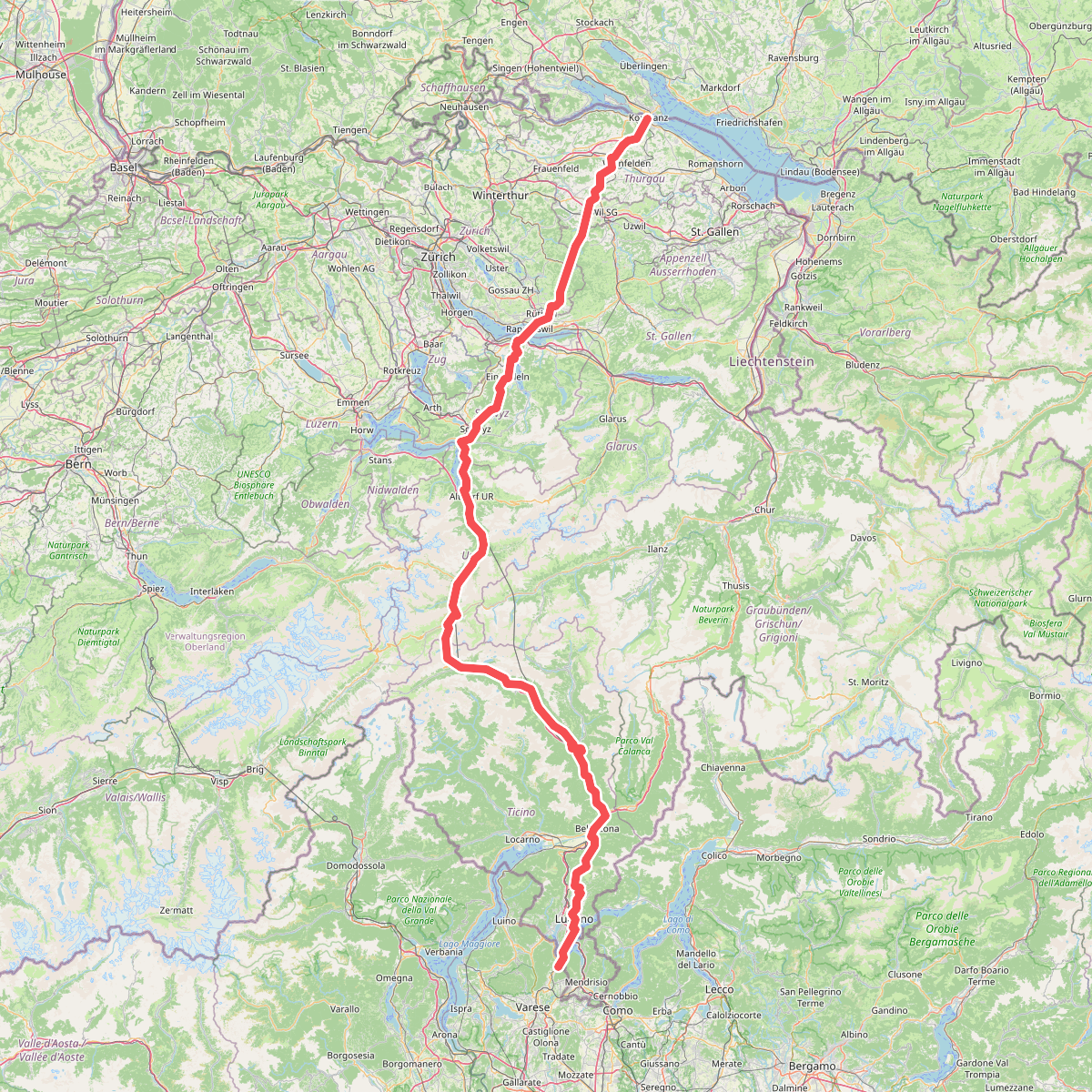
#6. European Long distance path E1 - part Switzerland

#7. Scarett

#8. Sentiero 309: Velate - Monte San Francesco - Velate

#9. Sentiero Nildo dal Zotto

#10. Via Francisca del Lucomagno: Tappa 1

#11. Via Francisca del Lucomagno: Tappa 2





