The best hiking routes in Parque Natural do Sudoeste Alentejano e Costa Vicentina
Discover the best walks in Parque Natural do Sudoeste Alentejano e Costa Vicentina. 28 routes on the map, with descriptions, photos and GPX.
Managed by Instituto da Conservação da Natureza e das Florestas


About Parque Natural do Sudoeste Alentejano e Costa Vicentina
Parque Natural do Sudoeste Alentejano e Costa Vicentina stretches along Portugal's southwest coast, characterized by high schist and limestone cliffs that drop directly into the Atlantic Ocean. Unlike the sandy beaches of the eastern Algarve, this protected strip consists of exposed coastal scrubland, high clifftop plateaus, and deep ravines carved by small watercourses. Walkers will find a landscape shaped by constant maritime winds, where low-growing, salt-tolerant shrubs and aromatic rockrose dominate the dry, rocky soils of the cliffs, contrasting with the greener vegetation found in the sheltered river valleys.
Read more
About Parque Natural do Sudoeste Alentejano e Costa Vicentina
Parque Natural do Sudoeste Alentejano e Costa Vicentina stretches along Portugal's southwest coast, characterized by high schist and limestone cliffs that drop directly into the Atlantic Ocean. Unlike the sandy beaches of the eastern Algarve, this protected strip consists of exposed coastal scrubland, high clifftop plateaus, and deep ravines carved by small watercourses. Walkers will find a landscape shaped by constant maritime winds, where low-growing, salt-tolerant shrubs and aromatic rockrose dominate the dry, rocky soils of the cliffs, contrasting with the greener vegetation found in the sheltered river valleys.
Read moreParque Natural do Sudoeste Alentejano e Costa Vicentina stretches along Portugal's southwest coast, characterized by high schist and limestone cliffs that drop directly into the Atlantic Ocean. Unlike the sandy beaches of the eastern Algarve, this protected strip consists of exposed coastal scrubland, high clifftop plateaus, and deep ravines carved by small watercourses. Walkers will find a landscape shaped by constant maritime winds, where low-growing, salt-tolerant shrubs and aromatic rockrose dominate the dry, rocky soils of the cliffs, contrasting with the greener vegetation found in the sheltered river valleys.
Underfoot, the terrain varies significantly between the hard-packed clay of the inland agricultural tracks and the deep, loose sand of the coastal paths. Walking along the cliff edges requires navigating uneven stone and sandy trails where erosion is a constant process, while some of the more fragile dune systems are crossed via wooden boardwalks to protect the vegetation. The landscape is generally flat to gently undulating on the coastal plateau, but trails frequently descend steeply into rocky coves and climb back up, requiring steady footwork on loose gravel.
In spring, particularly during April and May, the coastal scrub bursts into flower, covering the clifftops in yellow, white, and purple blooms. This is also the nesting season for white storks, which famously build their nests on the sheer marine stacks just off the coast, a feature easily observed from the clifftop paths. While the popular coastal sections near Porto Covo and Zambujeira do Mar see regular foot traffic, the inland tracks through pine forests and agricultural fields offer a quieter, more rural experience of the Alentejo region.
Hiking routes in Parque Natural do Sudoeste Alentejano e Costa Vicentina (28)
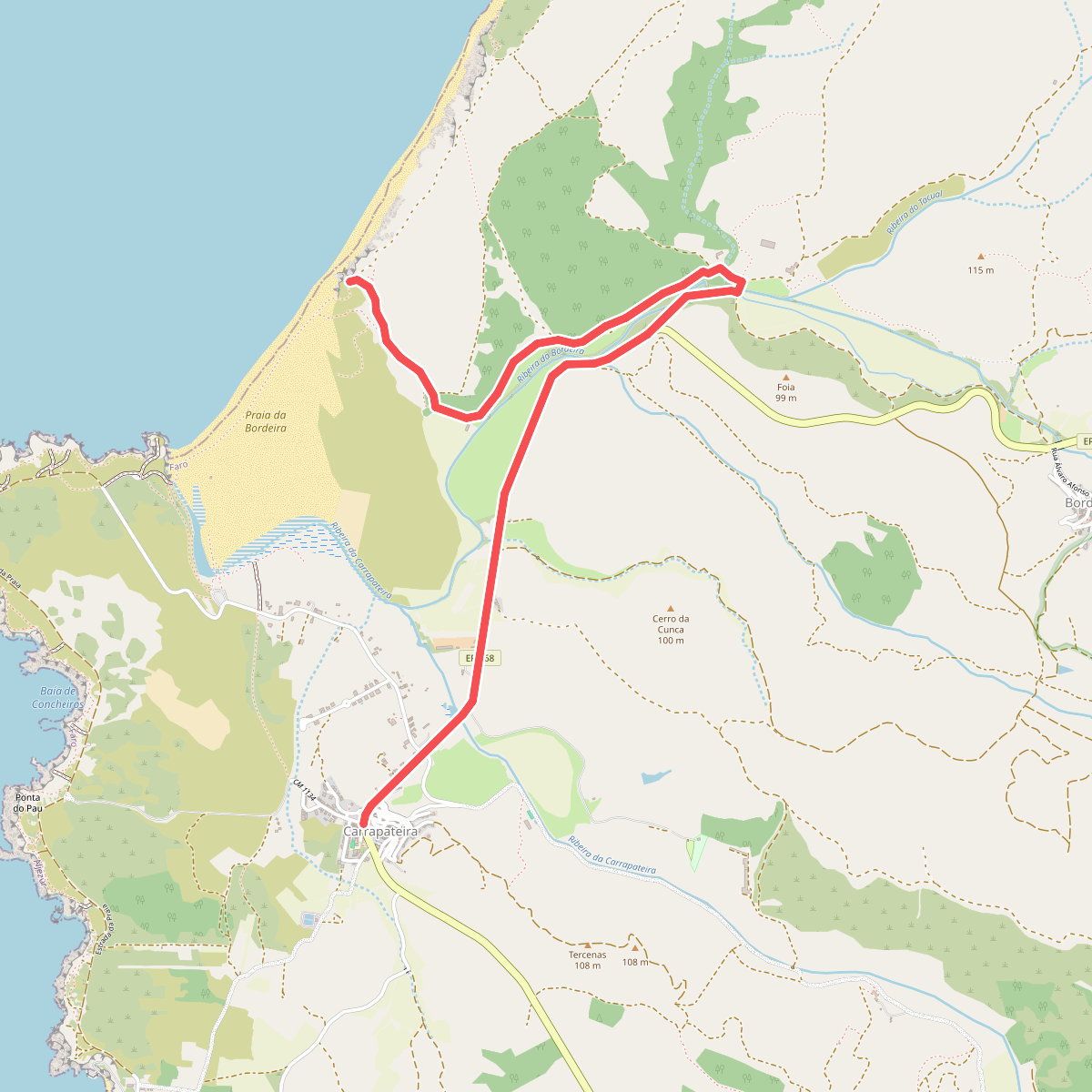
#1. Alternativa Trilho dos Pescadores
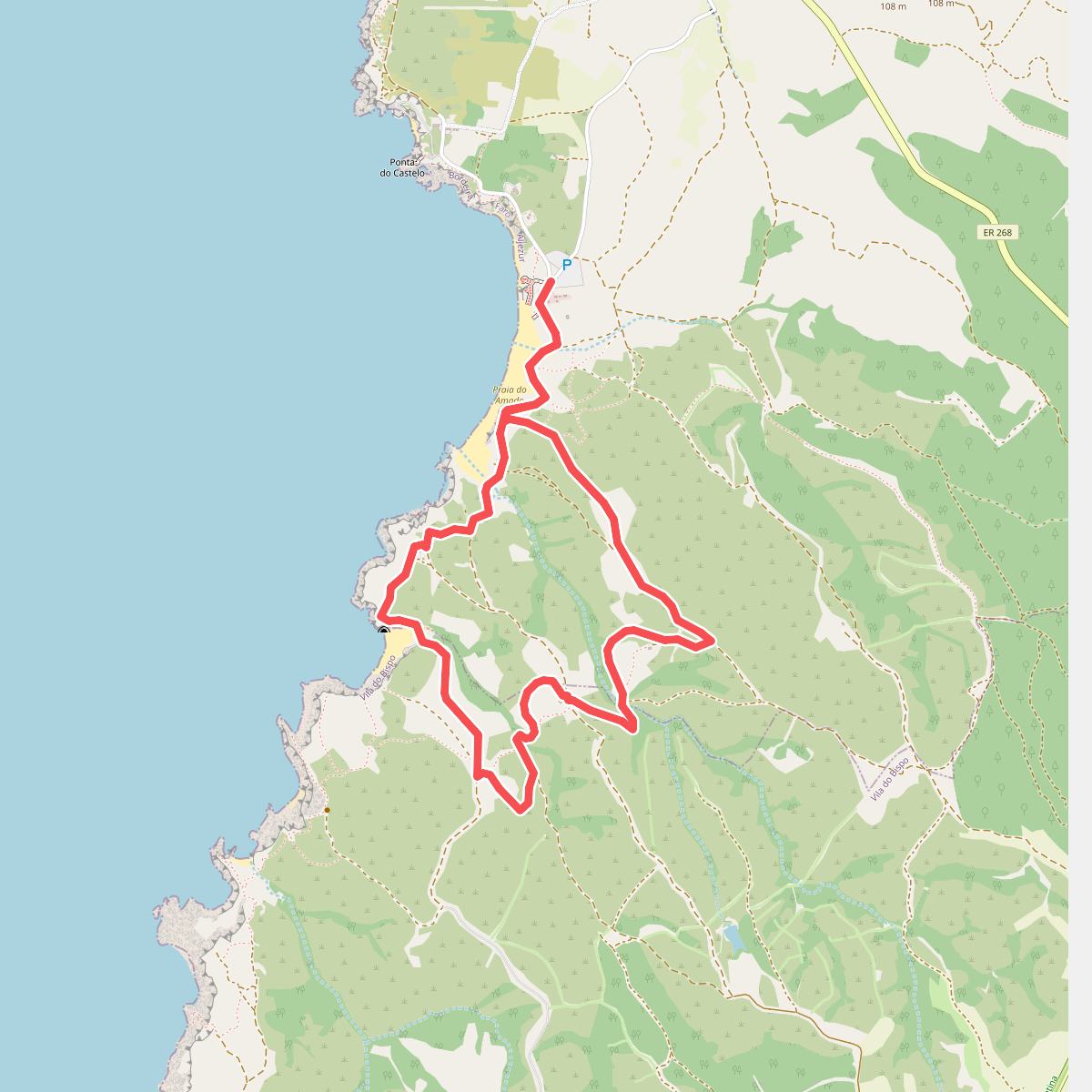
#2. Amado
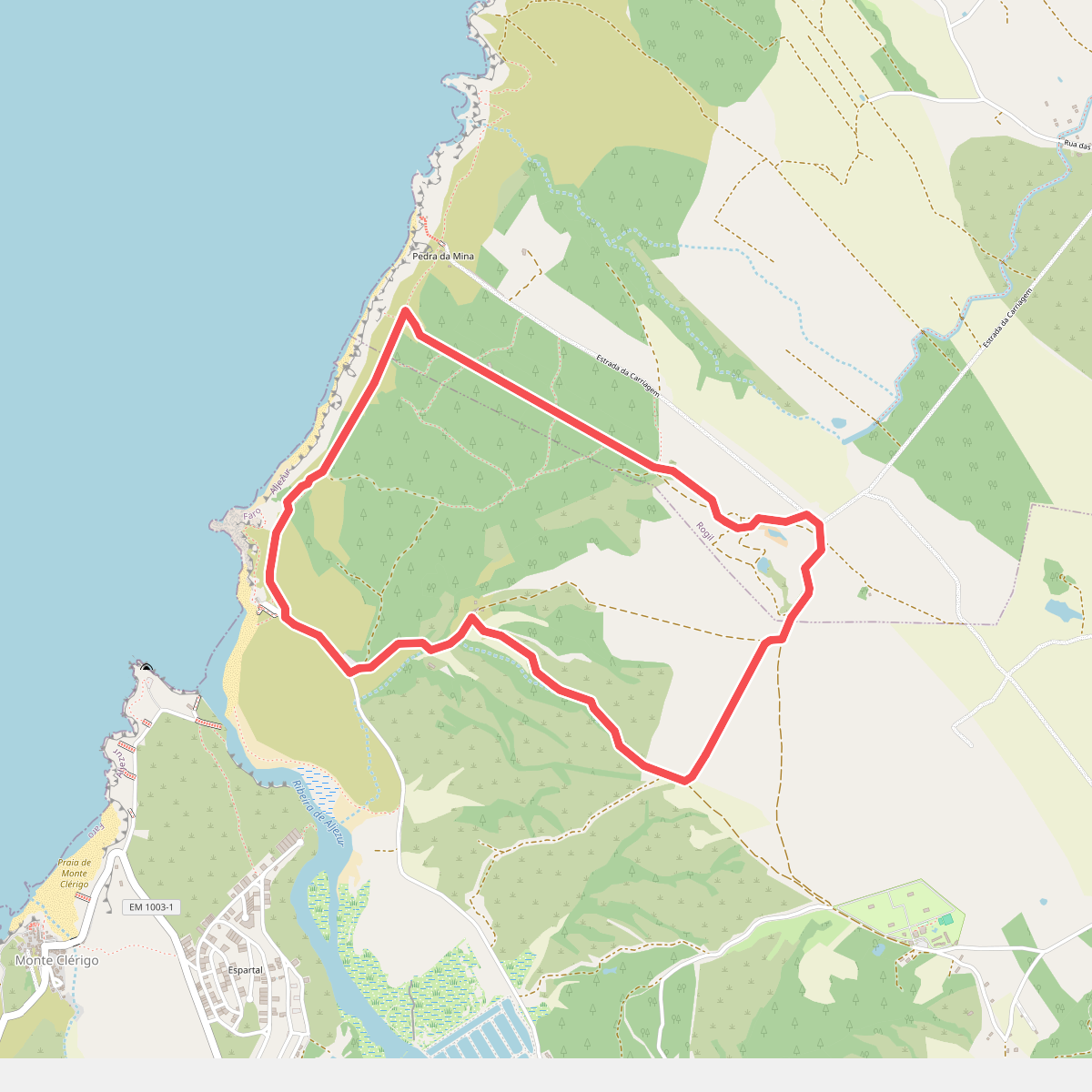
#3. Amoreira
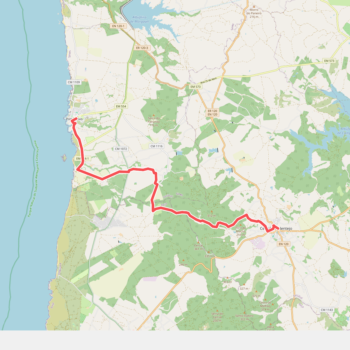
#4. Caminho Histórico - Cercal do Alentejo » Porto Covo
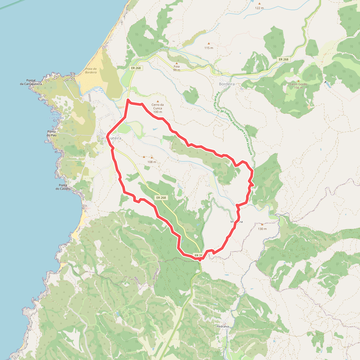
#5. Cerros da Carrapateira
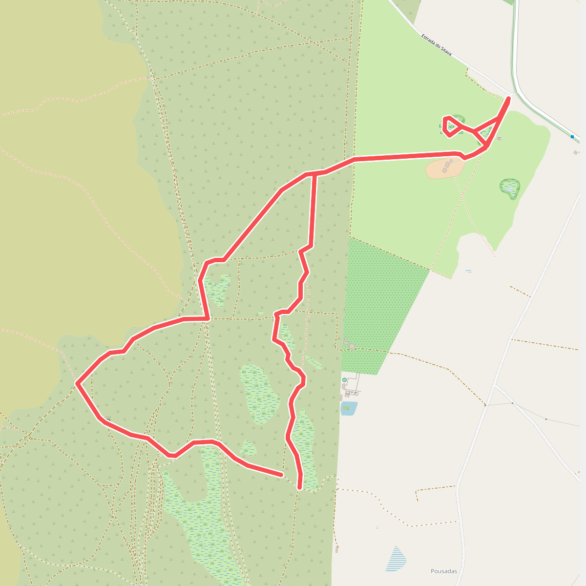
#6. Charcos Mediterrânicos (curto)
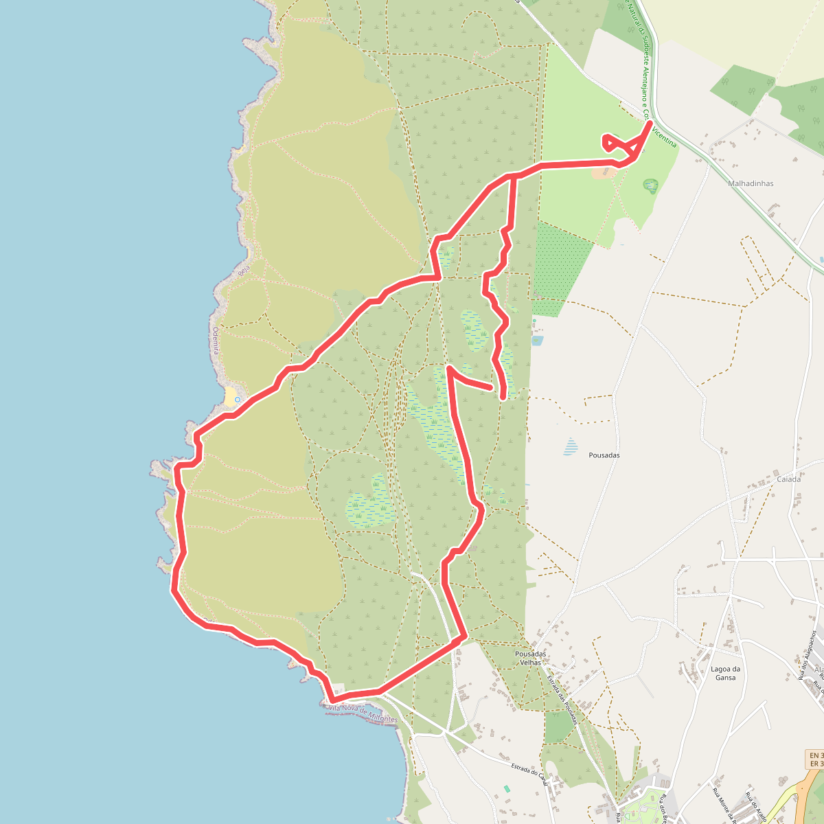
#7. Charcos Mediterrânicos (longo)
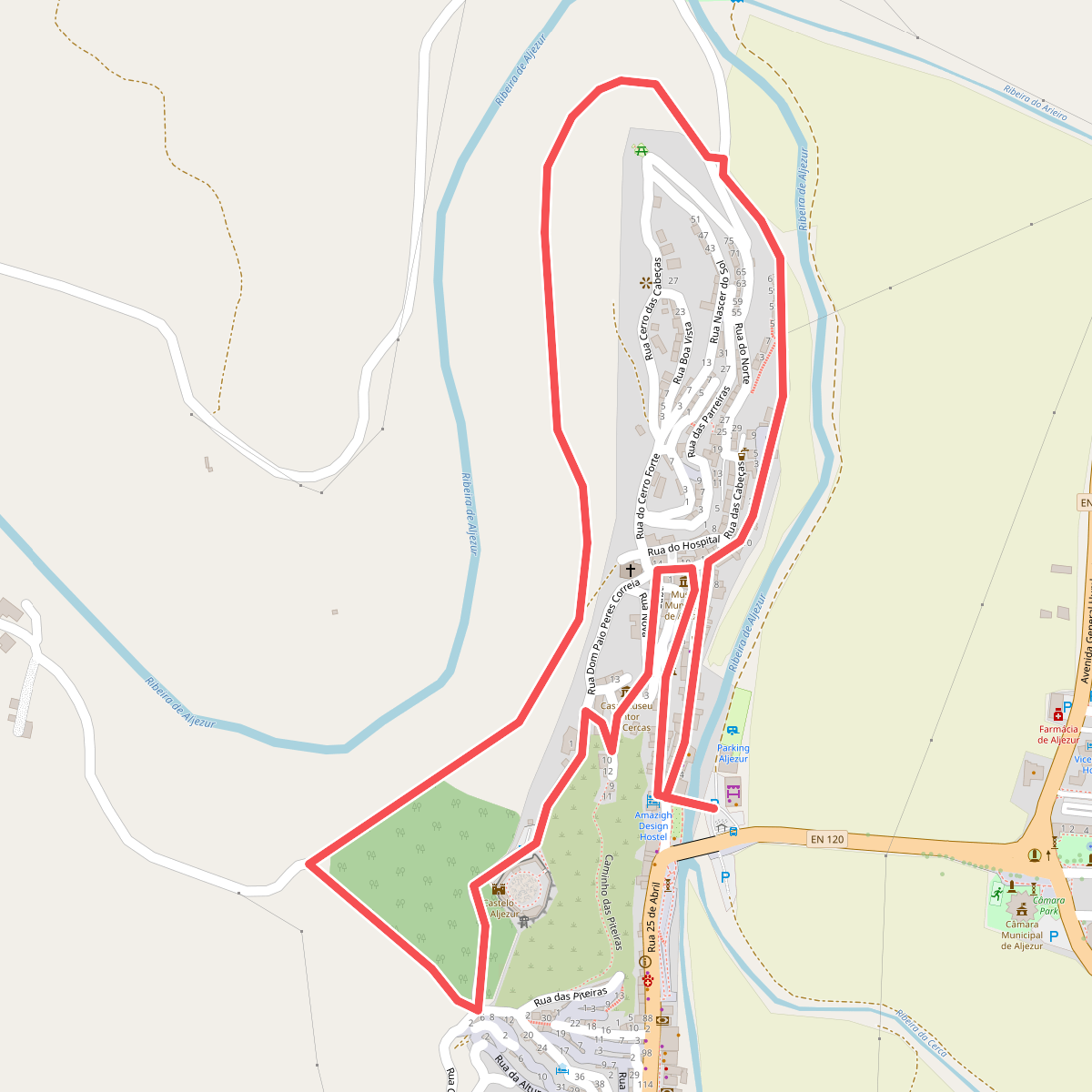
#8. Circuito Histórico-Cultural e Ambiental
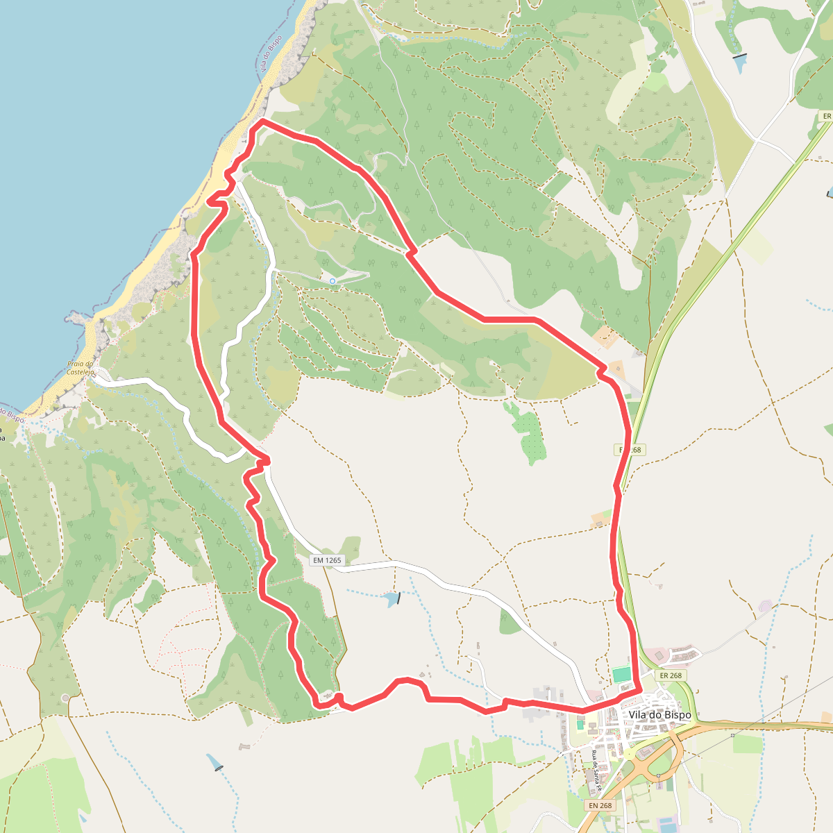
#9. Cordoama (curto)
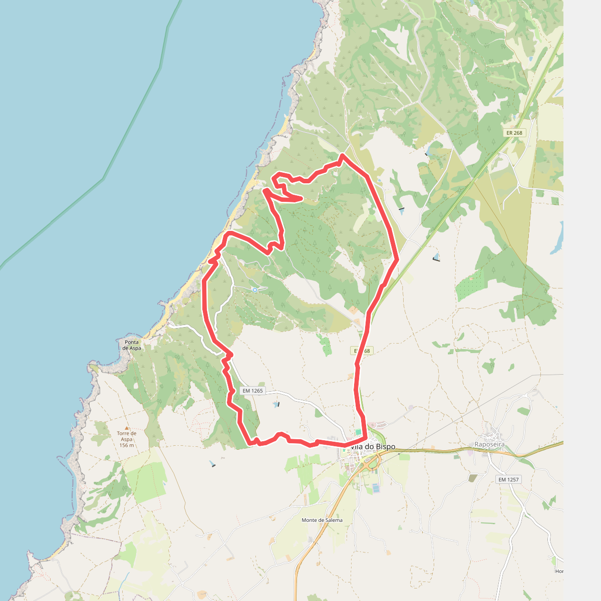
#10. Cordoama (longo)
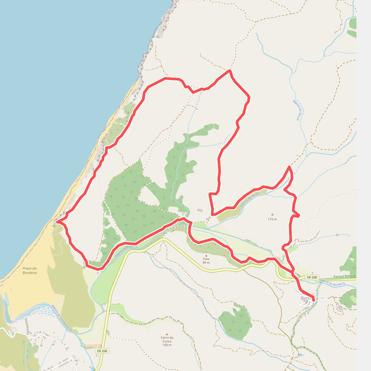
#11. Da Bordeira até ao Mar