


The best hiking routes in Rohrenstädter Bachtal
Discover the best walks in Rohrenstädter Bachtal. 15 routes on the map, with descriptions, photos and GPX.
About Rohrenstädter Bachtal
The Rohrenstädter Bachtal offers a quiet walking experience characterized by a small stream winding through a narrow valley. Unlike the flatter agricultural plains nearby, this area features gently sloping hillsides covered in dense mixed forest and open meadows. The valley floor is often damp, with soft earth paths that follow the watercourse, while the higher tracks along the valley edges are firmer, stony, and bordered by pine trees.
Read more
About Rohrenstädter Bachtal
The Rohrenstädter Bachtal offers a quiet walking experience characterized by a small stream winding through a narrow valley. Unlike the flatter agricultural plains nearby, this area features gently sloping hillsides covered in dense mixed forest and open meadows. The valley floor is often damp, with soft earth paths that follow the watercourse, while the higher tracks along the valley edges are firmer, stony, and bordered by pine trees.
Read moreThe Rohrenstädter Bachtal offers a quiet walking experience characterized by a small stream winding through a narrow valley. Unlike the flatter agricultural plains nearby, this area features gently sloping hillsides covered in dense mixed forest and open meadows. The valley floor is often damp, with soft earth paths that follow the watercourse, while the higher tracks along the valley edges are firmer, stony, and bordered by pine trees.
As you walk, you will notice how the landscape changes from shaded woodland to bright, grassy clearings. The stream itself shapes the terrain, creating small wetlands and marshy patches where water-loving plants thrive. There are no dramatic rocky peaks or deep gorges here, but rather a subtle, rolling topography that requires steady footing on the natural, unpaved trails.
In late spring, particularly around May, the meadows along the stream are bright green and filled with wildflowers. The paths are mostly simple dirt tracks, which can be uneven due to tree roots and damp soil near the water.
Hiking routes in Rohrenstädter Bachtal (15)
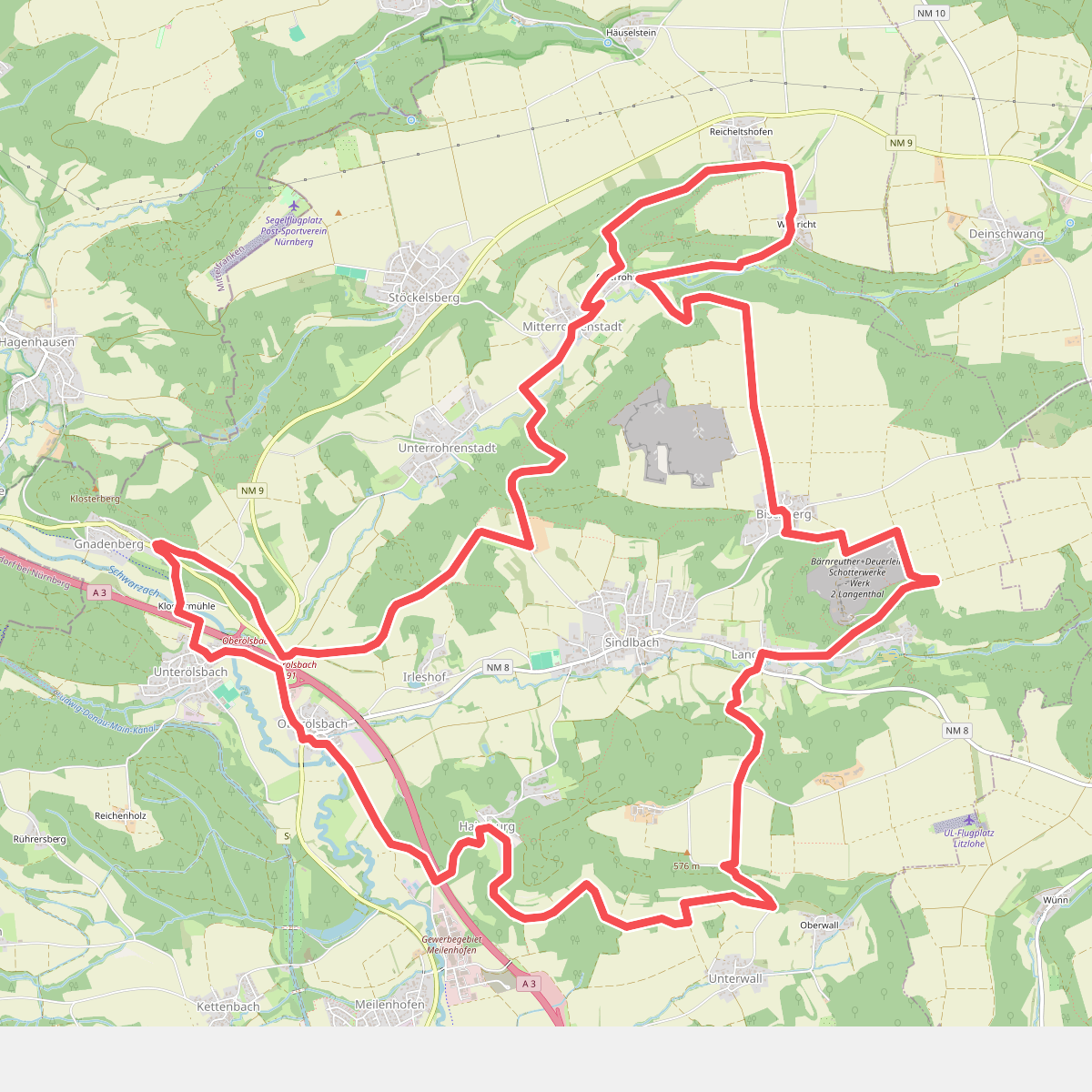
#1. 5-Täler-Wanderweg
Berg b.Neumarkt i.d.OPf.
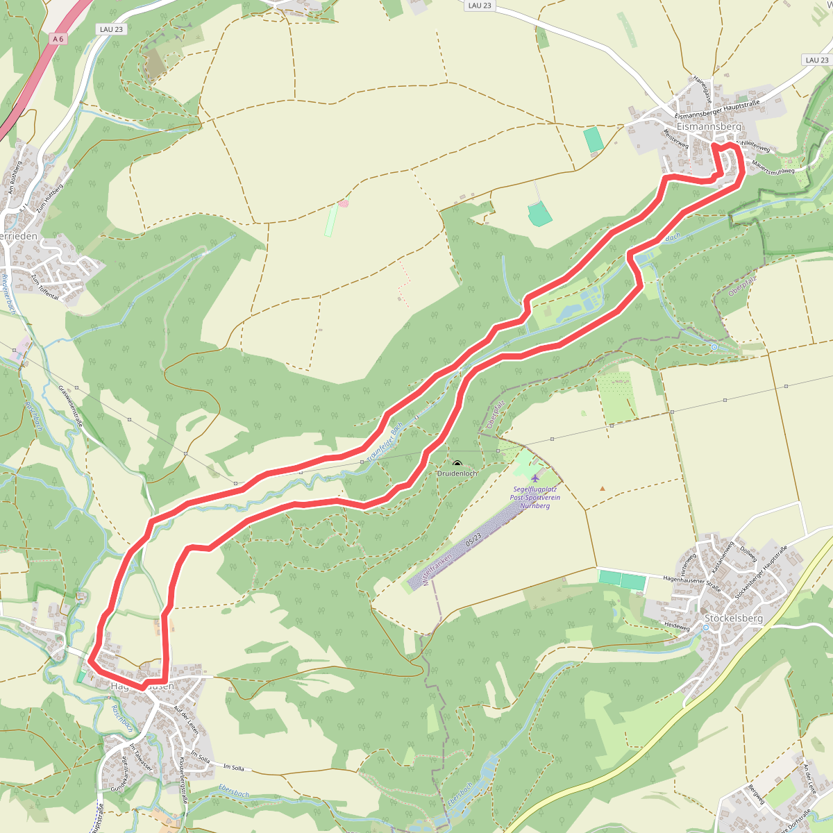
#2. Altdorf 6a
Altdorf bei Nürnberg
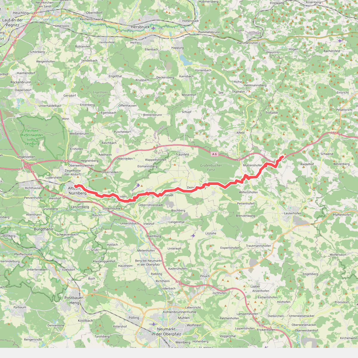
#3. Birglandweg
Altdorf bei Nürnberg,Berg b.Neumarkt i.d.OPf.,Lauterhofen,Birgland
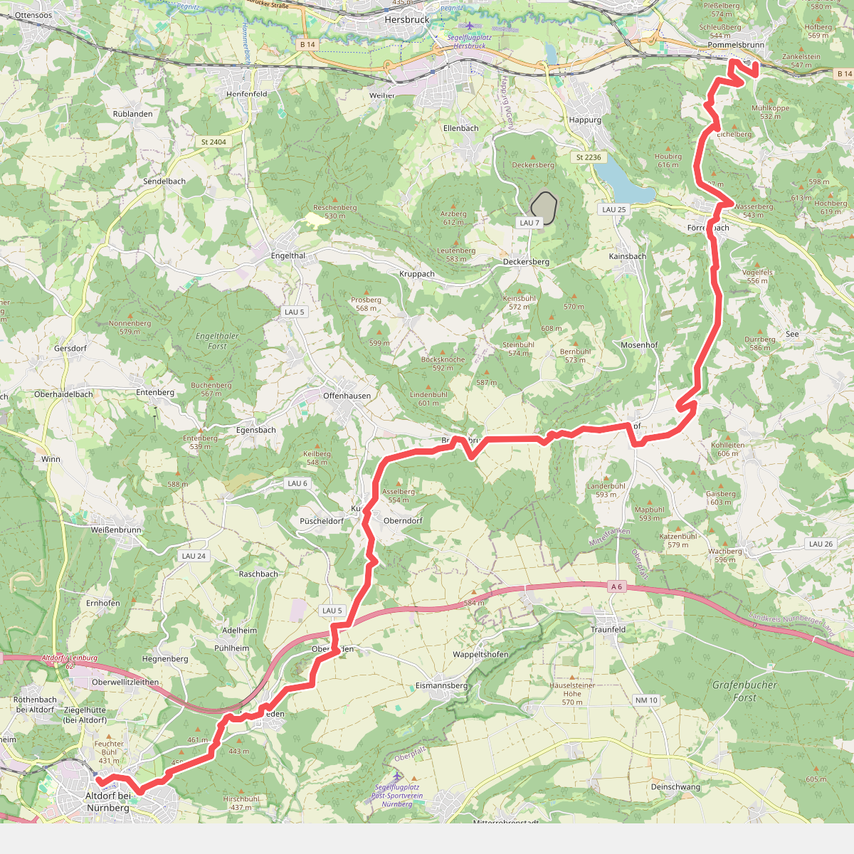
#4. Blaupunkt
Altdorf bei Nürnberg,Offenhausen,Happurg,Pommelsbrunn
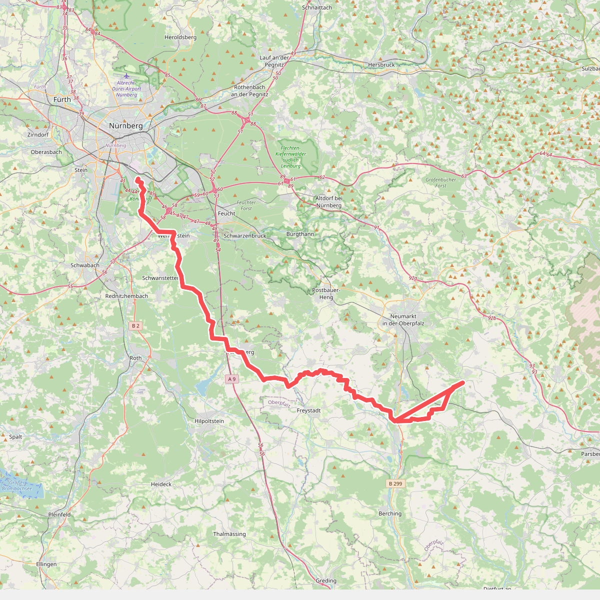
#5. Deininger Weg
Nürnberg,Forst Kleinschwarzenlohe,Wendelstein,Schwanstetten,Roth,Allersberg,Freystadt,Berngau,Sengenthal,Mühlhausen,Deining
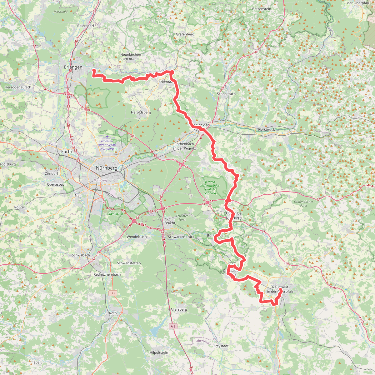
#6. Eppeleinsweg
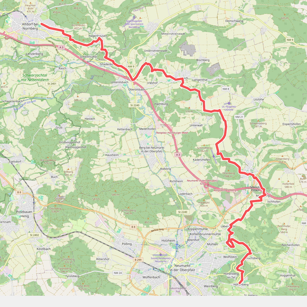
#7. Altdorf b. Nürnberg - Höhenberg · Frankenweg etappe 17
Altdorf bei Nürnberg,Berg b.Neumarkt i.d.OPf.,Pilsach,Neumarkt in der Oberpfalz
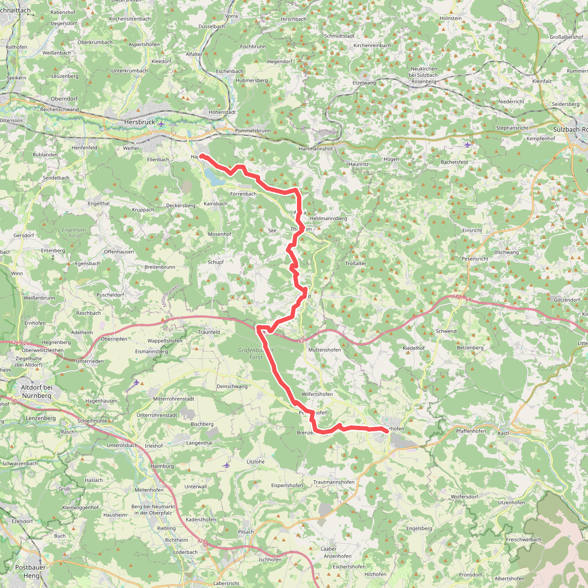
#8. Grünstrich
Happurg,Pommelsbrunn,Alfeld,Lauterhofen
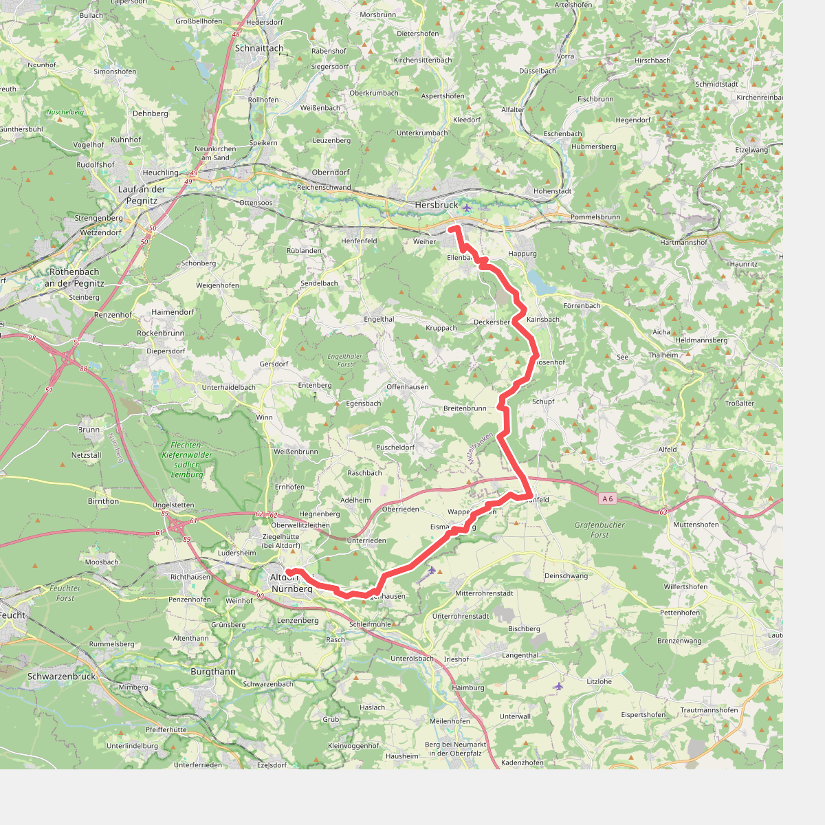
#9. Hochlandsteig (Gelbpunkt)
Hersbruck,Happurg,Offenhausen,Lauterhofen,Altdorf bei Nürnberg,Berg b.Neumarkt i.d.OPf.
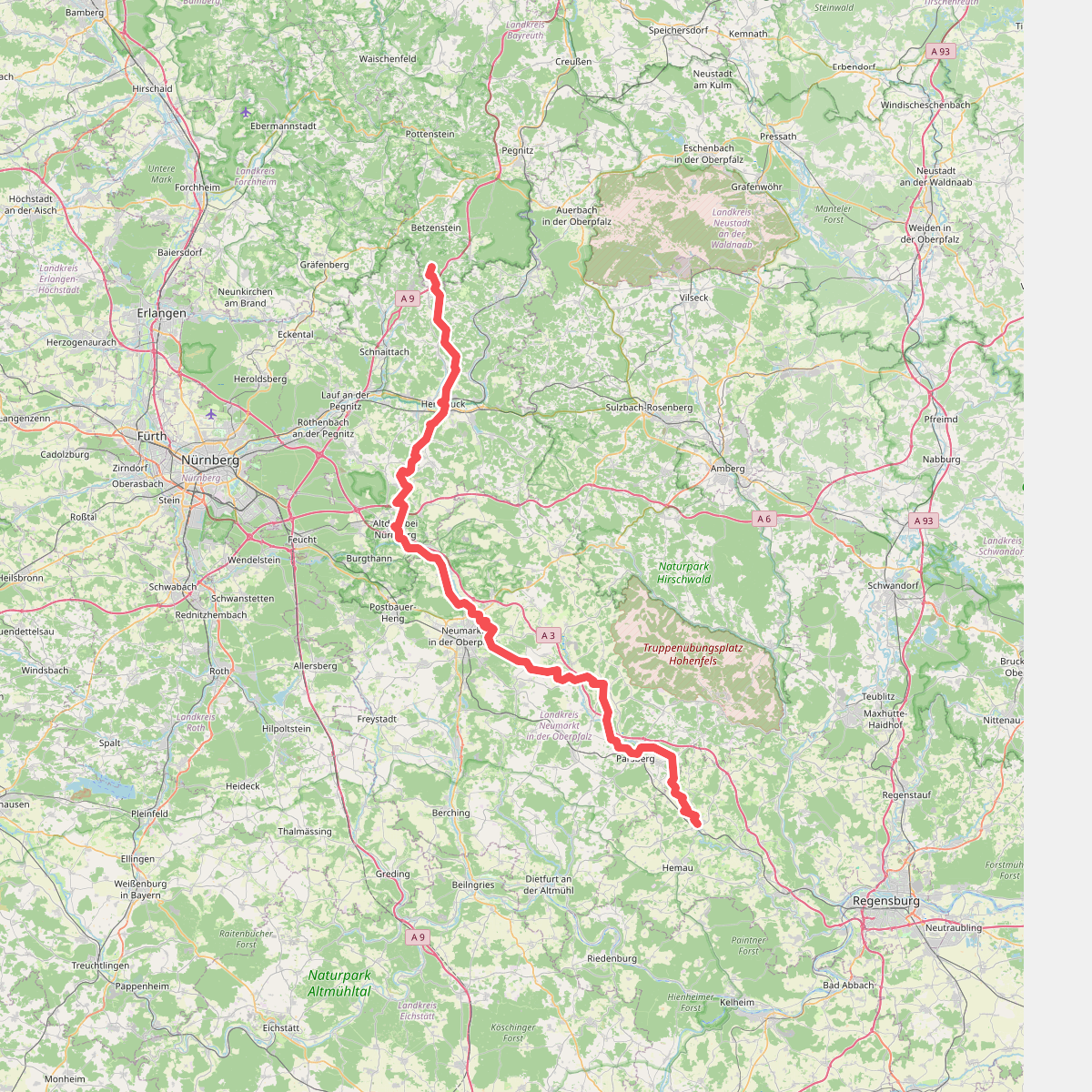
#10. Main-Donau-Weg (Jura-Linie) Teil 2
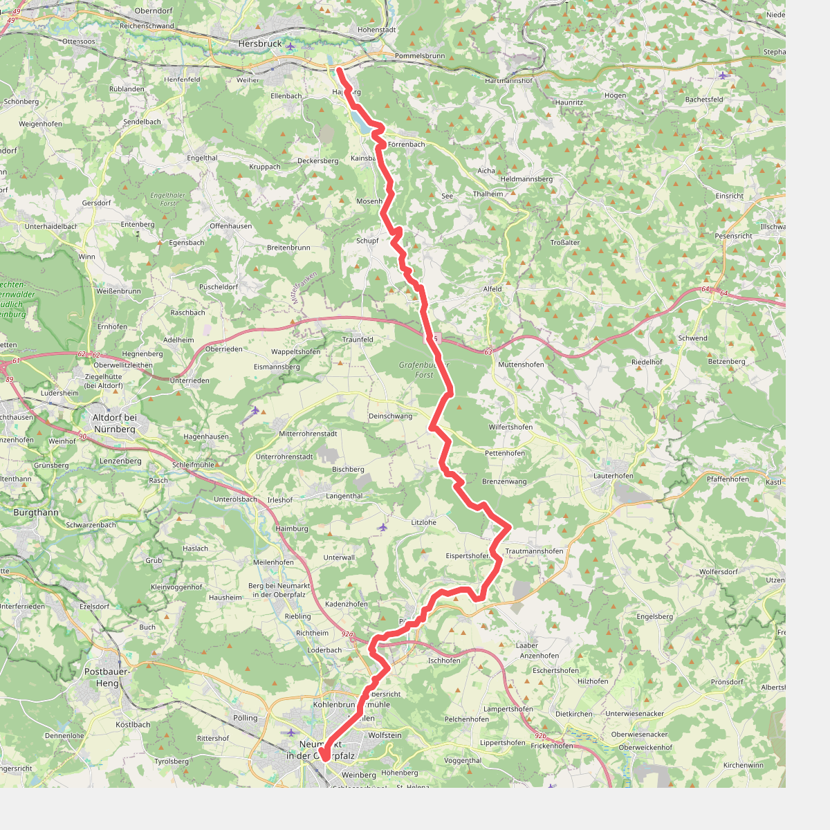
#11. Pfalzgrafenweg
Happurg,Alfeld,Lauterhofen,Pilsach,Neumarkt in der Oberpfalz

#12. Rohrenstädter Tal (Rotring)
Berg b.Neumarkt i.d.OPf.,Lauterhofen




