The best hiking routes in Stabbursdalen nasjonalpark
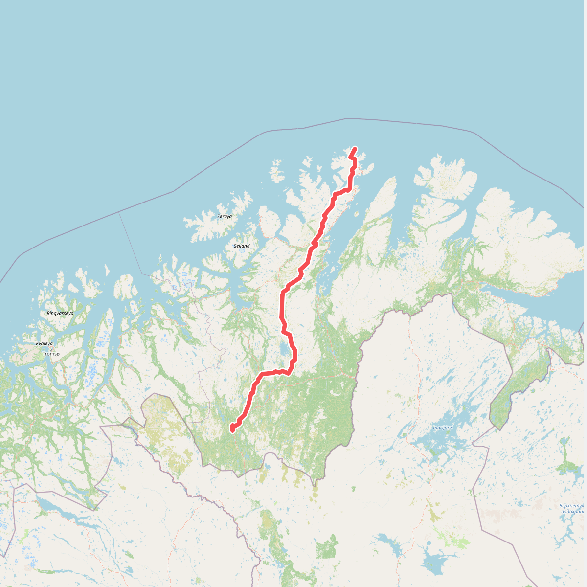
Discover the best walks in Stabbursdalen nasjonalpark. 1 routes on the map, with descriptions, photos and GPX.
Managed by Stabbursdalen nasjonalparkstyre – Rávttošvuomi álbmotmeahccestivra - Rautusvuoman kansalistarhaan johtokunta
About Stabbursdalen nasjonalpark
Stabbursdalen nasjonalpark protects the northernmost pine forest in the world, set against a backdrop of barren mountain plateaus and a dramatic river canyon. Walkers here will find a stark contrast between the sheltered valley floor, where ancient, gnarled pines grow slowly in the cold climate, and the open, treeless tundra of the higher ground. The Stabburselva river runs through the park, carving a deep gorge that dominates the central landscape before widening into a gentler valley.
Read more
About Stabbursdalen nasjonalpark
Stabbursdalen nasjonalpark protects the northernmost pine forest in the world, set against a backdrop of barren mountain plateaus and a dramatic river canyon. Walkers here will find a stark contrast between the sheltered valley floor, where ancient, gnarled pines grow slowly in the cold climate, and the open, treeless tundra of the higher ground. The Stabburselva river runs through the park, carving a deep gorge that dominates the central landscape before widening into a gentler valley.
Read moreStabbursdalen nasjonalpark protects the northernmost pine forest in the world, set against a backdrop of barren mountain plateaus and a dramatic river canyon. Walkers here will find a stark contrast between the sheltered valley floor, where ancient, gnarled pines grow slowly in the cold climate, and the open, treeless tundra of the higher ground. The Stabburselva river runs through the park, carving a deep gorge that dominates the central landscape before widening into a gentler valley.
Underfoot, the terrain is demanding and largely undeveloped. While there are some marked paths and occasional footbridges near the park boundary, much of the interior requires navigating rough, trackless terrain of stony ground, dwarf birch scrub, and boggy peat. The valley floor features sandy terraces and river deposits, while the higher slopes are covered in loose scree and blockfields that require careful footplacement.
This is not a park of jagged alpine peaks or lush meadows. Instead, it offers a transition from dense, moss-carpeted pine forest to sparse, wind-swept fell. In July and August, the ground vegetation is at its most visible, with dwarf shrubs and lichens covering the dry, sandy soils. Walkers should expect a remote, northern landscape where route-finding skills are necessary once leaving the main valley path.