


The best hiking routes in Uiterwaarden IJssel
Discover the best walks in Uiterwaarden IJssel. 109 routes on the map, with descriptions, photos and GPX.


About Uiterwaarden IJssel
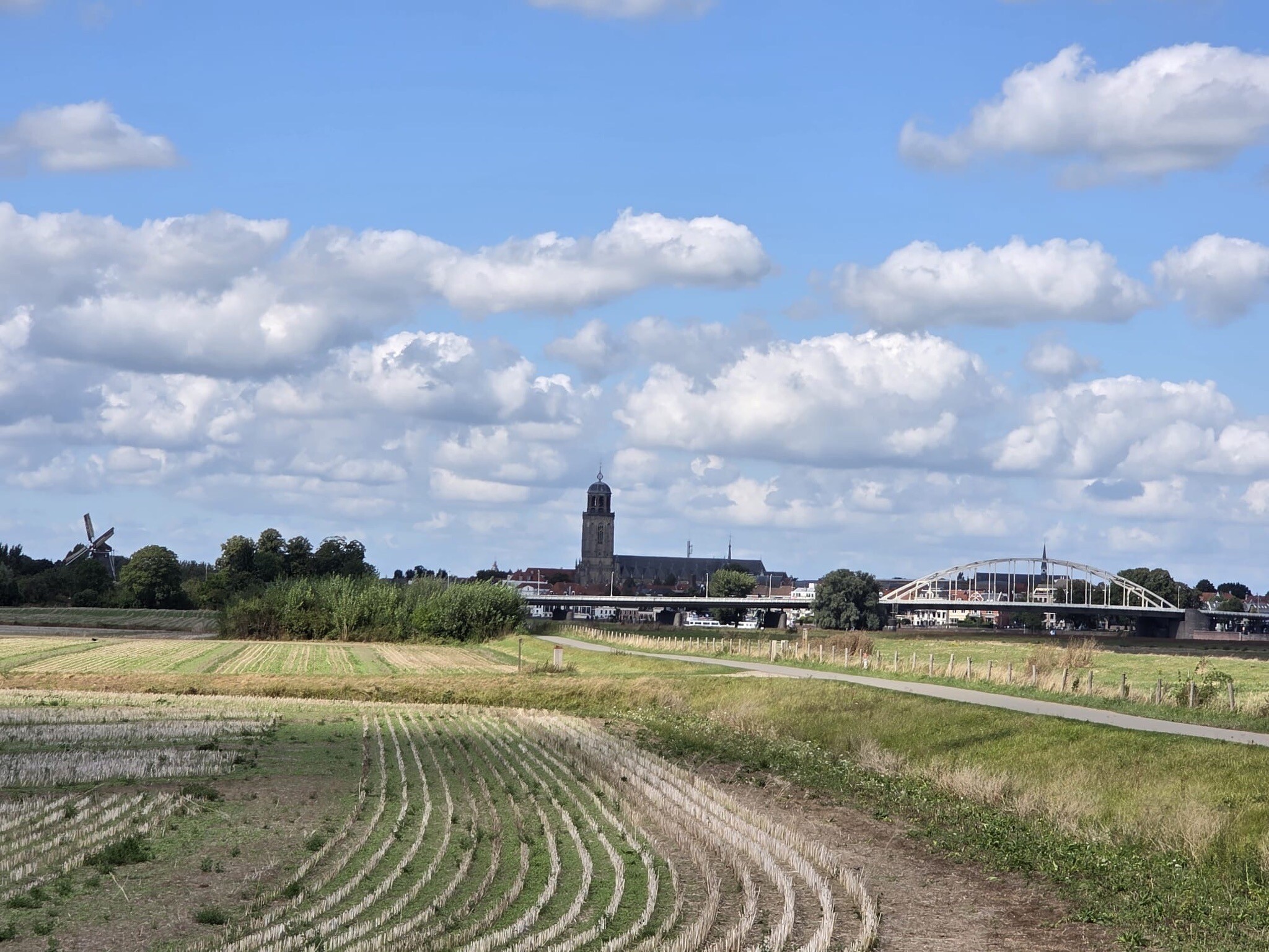
The Uiterwaarden IJssel consists of the active floodplains along the IJssel river, where the landscape is shaped by seasonal water levels and agricultural use. Unlike the dry, sandy forests of the nearby Veluwe, this area is defined by flat clay pastures, drainage ditches, and river dikes. Walking here means navigating a working river landscape where cattle graze on open grasslands and high dikes provide elevated views over the water and the low-lying fields behind them.
Read more
About Uiterwaarden IJssel
The Uiterwaarden IJssel consists of the active floodplains along the IJssel river, where the landscape is shaped by seasonal water levels and agricultural use. Unlike the dry, sandy forests of the nearby Veluwe, this area is defined by flat clay pastures, drainage ditches, and river dikes. Walking here means navigating a working river landscape where cattle graze on open grasslands and high dikes provide elevated views over the water and the low-lying fields behind them.
Read moreThe Uiterwaarden IJssel consists of the active floodplains along the IJssel river, where the landscape is shaped by seasonal water levels and agricultural use. Unlike the dry, sandy forests of the nearby Veluwe, this area is defined by flat clay pastures, drainage ditches, and river dikes. Walking here means navigating a working river landscape where cattle graze on open grasslands and high dikes provide elevated views over the water and the low-lying fields behind them.
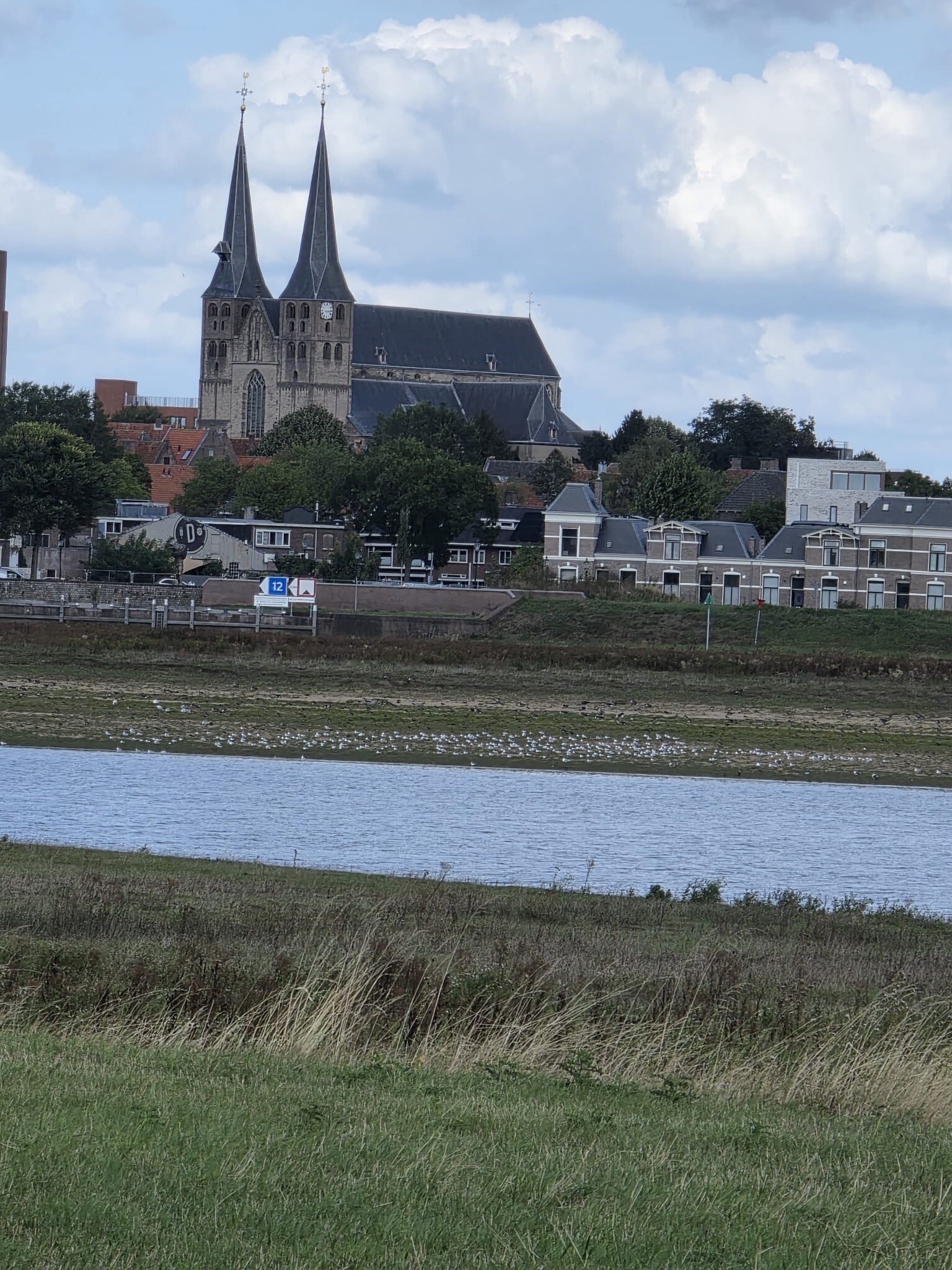
Underfoot, the terrain is dominated by grassy dikes and unpaved clay paths through the meadows. There are no boardwalks or sandy tracks here. Instead, you will follow grassy paths that can be soft underfoot, alongside brickworks ruins and small clay pits left behind by historic industrial excavations. The vegetation is typical of river clay soils, with tall grasses, thistles, and willow trees lining the riverbanks and old river branches.
This landscape is highly open and exposed, offering no shelter from trees or high terrain. It is a good choice if you prefer wide river views and watching waterbirds, but it is not suitable if you are looking for woodland walks or enclosed heathlands. While the dikes are popular with cyclists, the grassy paths directly along the water are generally quieter and offer a more direct experience of the river current.
Hiking routes in Uiterwaarden IJssel (109)

#1. Langs hagen en over dijken
Voorst
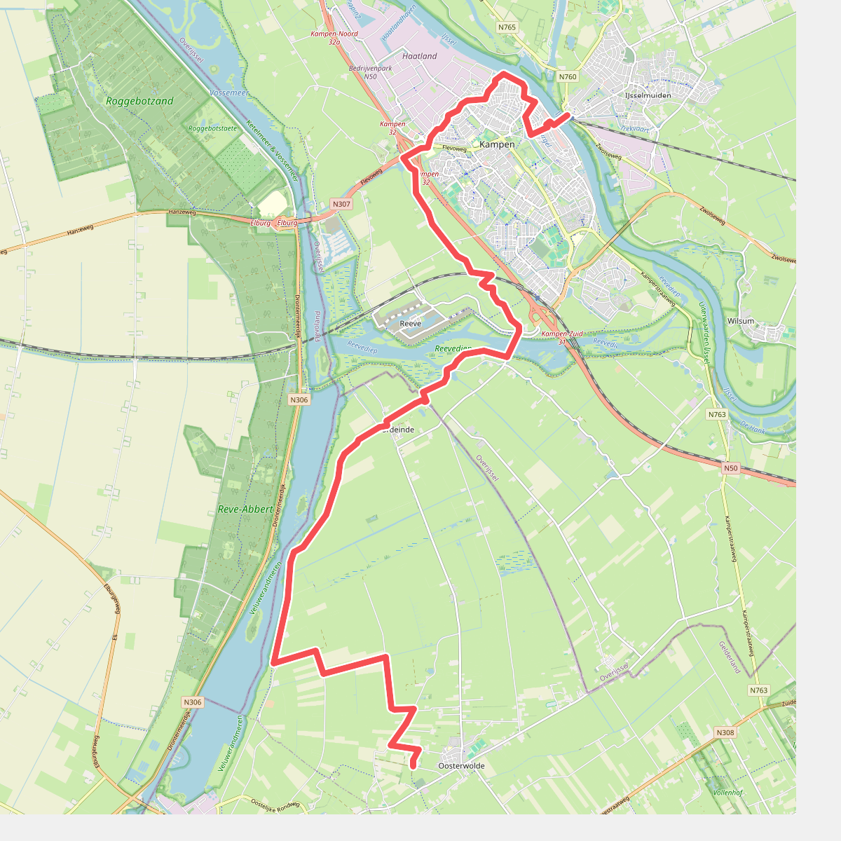
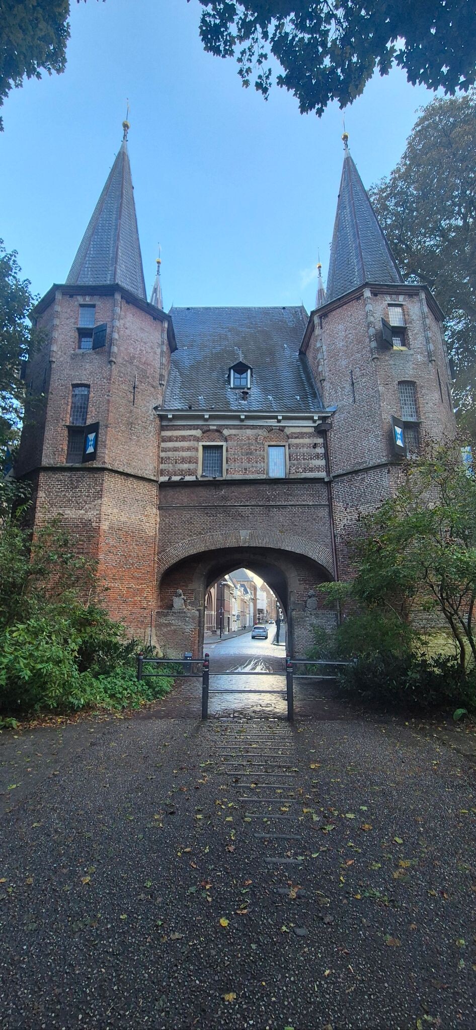
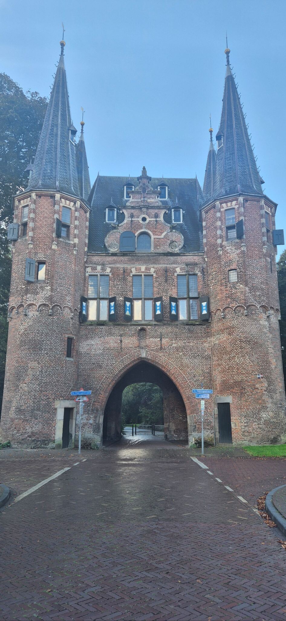
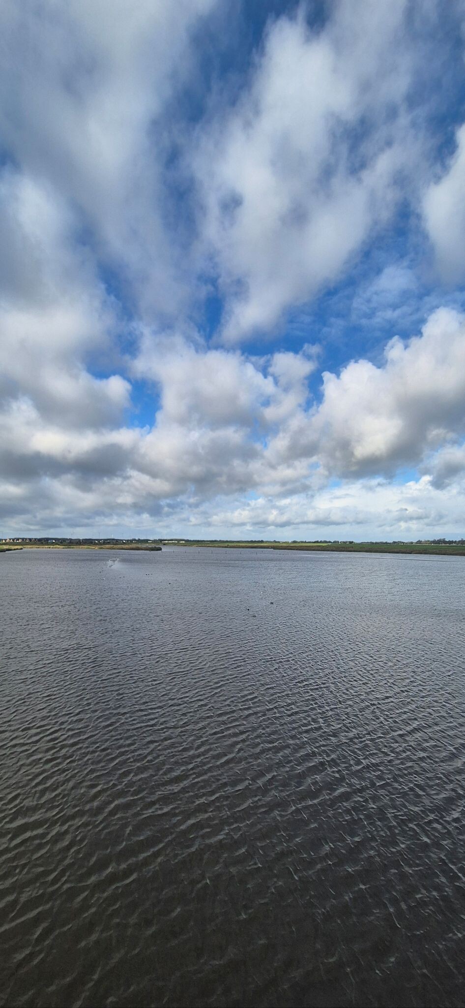
#2. Oosterwolde - Kampen · Zuiderzeepad etappe 15
Oosterwolde Gld


#3. OV-Stapper Bomendijk
Deventer,Wilp,Voorst,Klarenbeek


#4. Zalk - Rood
Zalk,Zwolle,'s-Heerenbroek


#5. Zwolle (station 150m) - Kampen station · Hanzestedenpad etappe 7
Kampen,IJsselmuiden,Wilsum,Kamperveen,'s-Heerenbroek,Zwolle,Hattem

#6. Brummen - Vorden · Trekvogelpad etappe 20
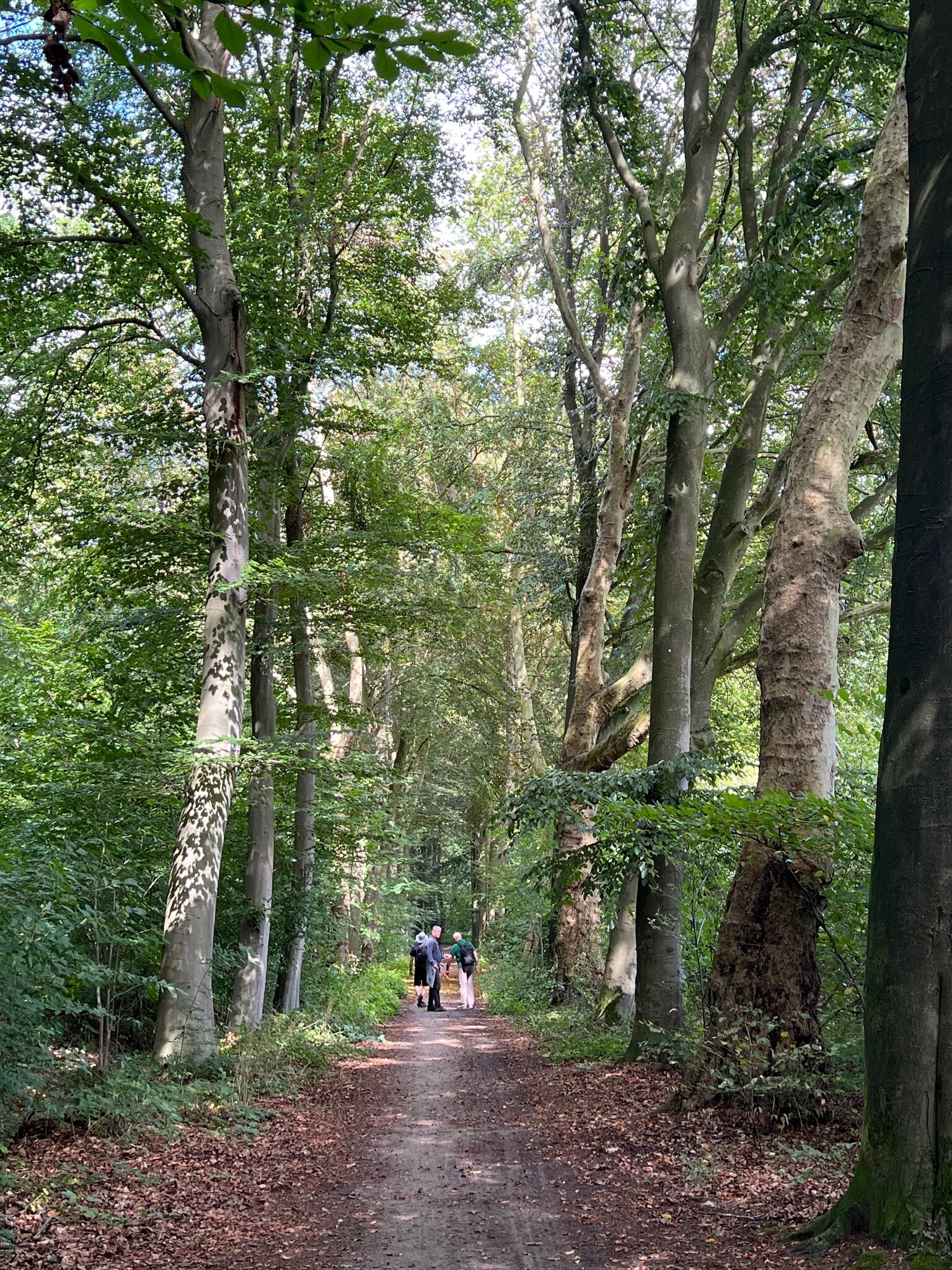
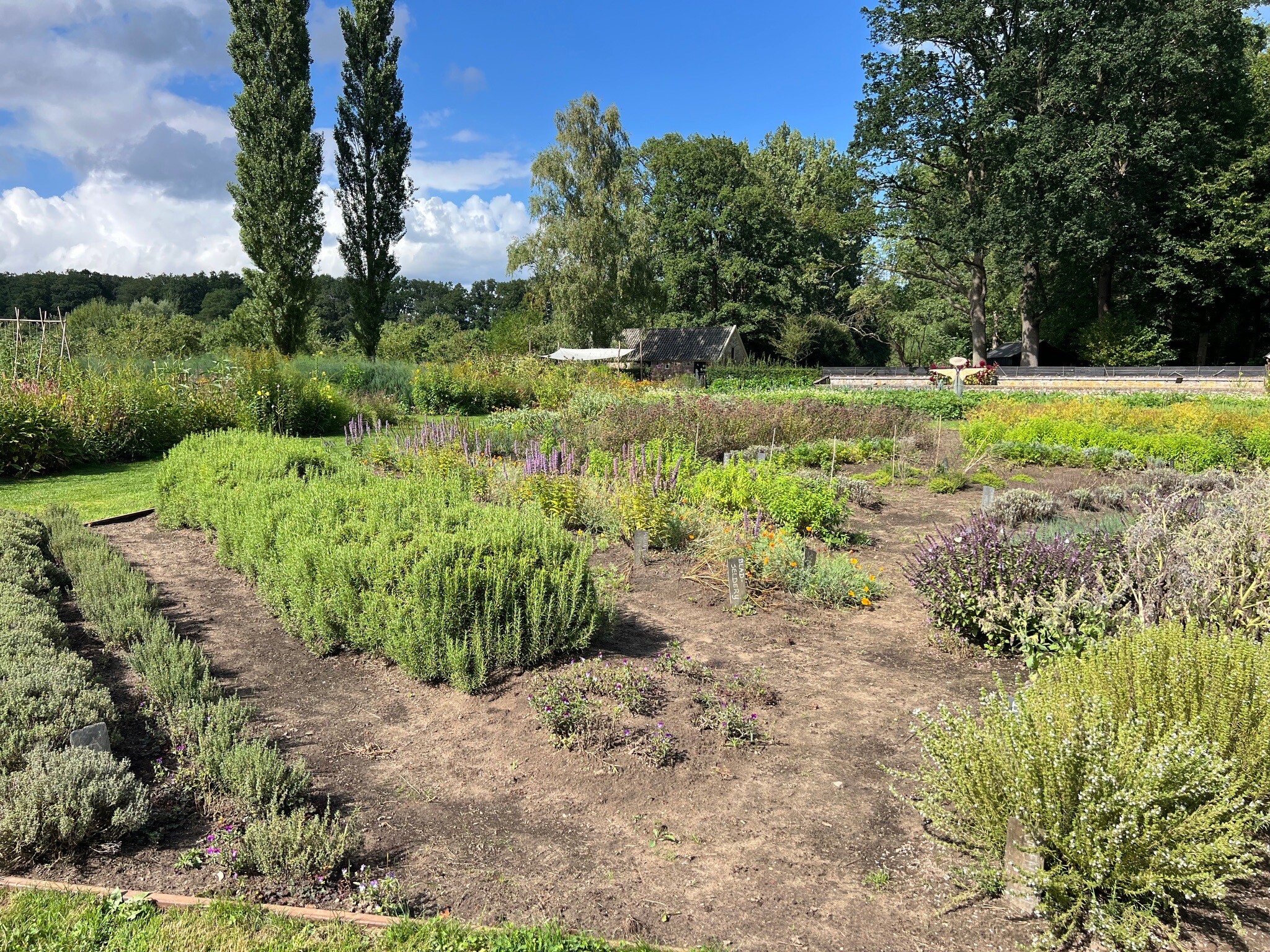
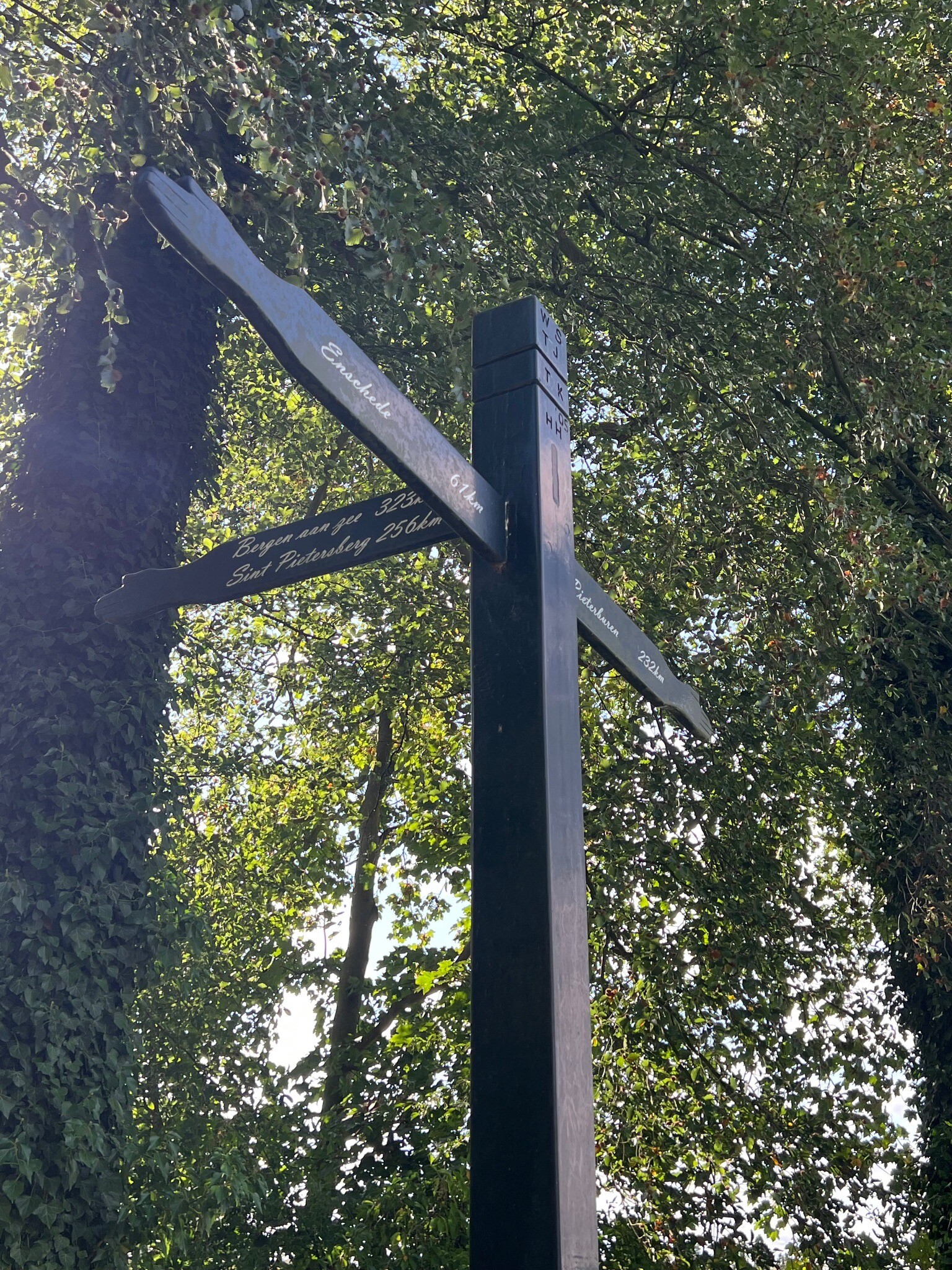
Brummen,Steenderen,Zutphen,Baak,Vierakker,Vorden

#7. d' Olde Zwarver - Paars
Kampen


#8. Dagwandeling (Zwolle - Hasselt) · Hanzestedenpad etappe 16
Hasselt,Zwolle,Hattem


#9. Den Nul - Windesheim · Hanzestedenpad etappe 5
Zwolle,Wapenveld,Wijhe,Marle,Vorchten,Veessen,Olst,Oene

#10. Deventer - Klarenbeek · Marskramerpad etappe 8
Klarenbeek,Voorst,Wilp,Deventer


#11. Heino - Wijhe · Roots Natuurpad etappe 15
Wijhe,Raalte,Heino


#12. Hoornerveen - Hattem · Maarten van Rossumpad etappe 16
Hattem,Wapenveld,Heerde




