


The best hiking routes in Uiterwaarden Waal
Discover the best walks in Uiterwaarden Waal. 62 routes on the map, with descriptions, photos and GPX.
Managed by Staatsbosbeheer



About Uiterwaarden Waal
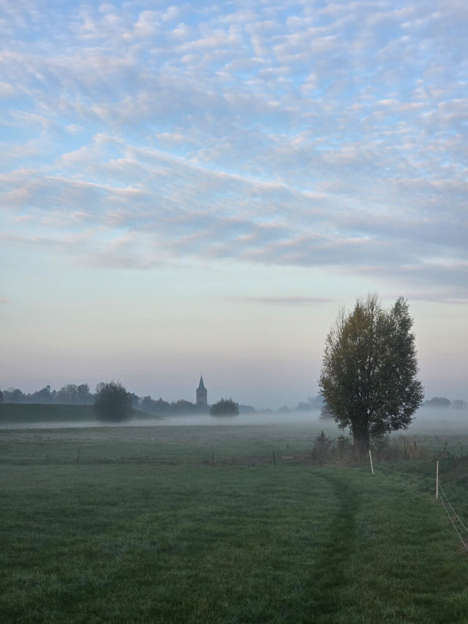
The Uiterwaarden Waal consists of the active floodplains along the Waal River, where the landscape is shaped by river dynamics rather than forests or heathlands. Walking here means navigating a mix of clay soils, sandy riverbanks, and rough grasslands. There are no marked forest trails or high dunes; instead, the terrain is flat, open, and divided by dikes, side channels, and brick factory ruins. The underfoot conditions are highly variable, shifting from hard-packed clay tracks to loose river sand and muddy cattle paths.
Read more
About Uiterwaarden Waal
The Uiterwaarden Waal consists of the active floodplains along the Waal River, where the landscape is shaped by river dynamics rather than forests or heathlands. Walking here means navigating a mix of clay soils, sandy riverbanks, and rough grasslands. There are no marked forest trails or high dunes; instead, the terrain is flat, open, and divided by dikes, side channels, and brick factory ruins. The underfoot conditions are highly variable, shifting from hard-packed clay tracks to loose river sand and muddy cattle paths.
Read moreThe Uiterwaarden Waal consists of the active floodplains along the Waal River, where the landscape is shaped by river dynamics rather than forests or heathlands. Walking here means navigating a mix of clay soils, sandy riverbanks, and rough grasslands. There are no marked forest trails or high dunes; instead, the terrain is flat, open, and divided by dikes, side channels, and brick factory ruins. The underfoot conditions are highly variable, shifting from hard-packed clay tracks to loose river sand and muddy cattle paths.
Unlike structured woodland parks, this reserve has few paved paths once you descend from the main dikes. You will walk among free-roaming galloways and konik horses, which keep the herbaceous vegetation short. The landscape is defined by its functional river engineering, featuring groynes stretching into the water and clay extraction pits that have filled to become shallow ponds. In late spring, around May, these damp grasslands are filled with flowering herbs, while the sandy beaches along the river bends offer a different, more barren environment.
This area is not suitable for those seeking quiet, sheltered woodland walks or dry, gravelled paths. It is an open river landscape where you are exposed to the elements and must often find your own way through trackless pastures. While the paved dike roads are popular with cyclists, the grassy floodplains themselves are quieter, attracting those who want to observe waterbirds along the shoreline and watch the heavy barge traffic pass by on the main river channel.
Hiking routes in Uiterwaarden Waal (62)


#1. Opheusden (Varakker) - Ochten (bushalte Brandweerkazerne) · Betuwepad etappe 11
Ochten,Opheusden


#2. Vlijmen - Lith · Zuiderwaterliniepad etappe 10
Lith,Heerewaarden,Maren-Kessel,Alem,Kerkdriel,'s-Hertogenbosch,Hedel


#3. Ambts & Rijkspad Winssen
Winssen,Ewijk


#4. Oud-Empel - Rossum · Maarten van Rossumpad etappe 2
Rossum,Alem,Kerkdriel,Maren-Kessel,'s-Hertogenbosch,Hoenzadriel


#5. Valburg - Winssen · Roots Natuurpad etappe 23
Winssen,Ewijk,Andelst,Slijk-Ewijk,Herveld,Valburg


#6. Wijchen - Afferden (Gld) · Walk of Wisdom etappe 7
Afferden,Bergharen,Horssen,Deest,Winssen,Ewijk,Hernen,Leur,Wijchen


#7. Afferden (Gld) - Nijmegen · Walk of Wisdom etappe 8
Nijmegen,Lent,Weurt,Beuningen Gld,Ewijk,Winssen,Deest,Afferden


#8. Rossum - Waardenburg (excl ommetje Zaltbommel (etappe 24)) · Maarten van Rossumpad etappe 3
Tuil,Zaltbommel,Hurwenen,Rossum


#9. Waardenburg - Wadenoijen · Maarten van Rossumpad etappe 4
Kapel Avezaath,Wadenoijen,Ophemert,Heerewaarden,Varik,Heesselt,Rossum,Hurwenen,Opijnen,Waardenburg

#10. Dodewaard - Nijmegen · Grote Rivierenpad etappe 13
Nijmegen,Weurt,Beuningen Gld,Ewijk,Herveld,Zetten,Dodewaard,Randwijk,Hemmen

#11. 35
Ingen,Lienden,IJzendoorn,Echteld,Tiel,Maurik,Eck en Wiel

#12. 35 km
Nijmegen,Persingen,Berg en Dal,Groesbeek,Malden




