


The best hiking routes in Van Gogh
Discover the best walks in Van Gogh. 175 routes on the map, with descriptions, photos and GPX.


About Van Gogh
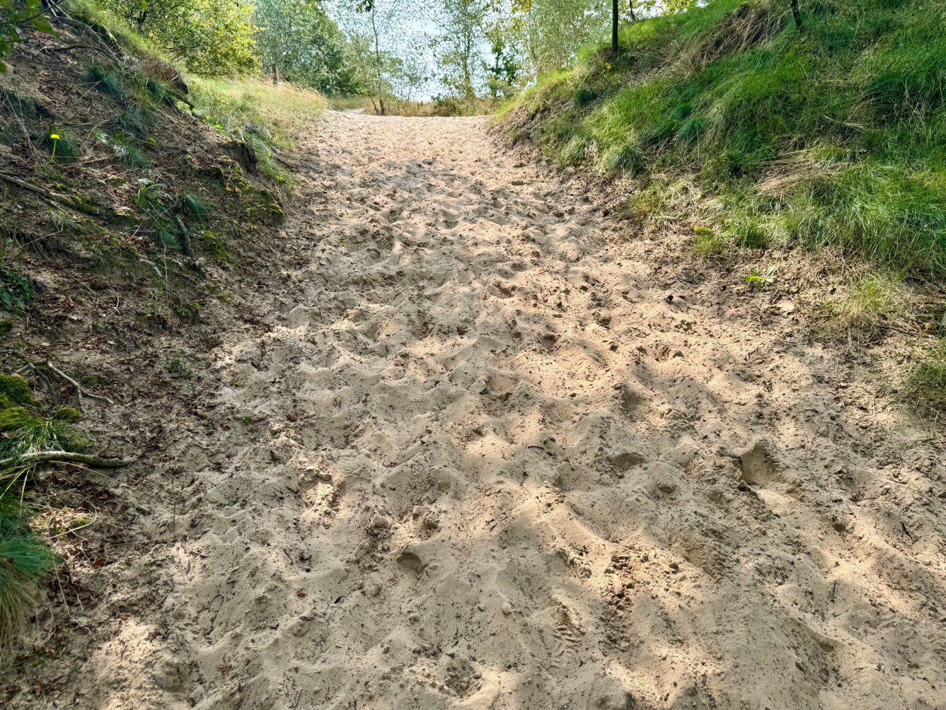
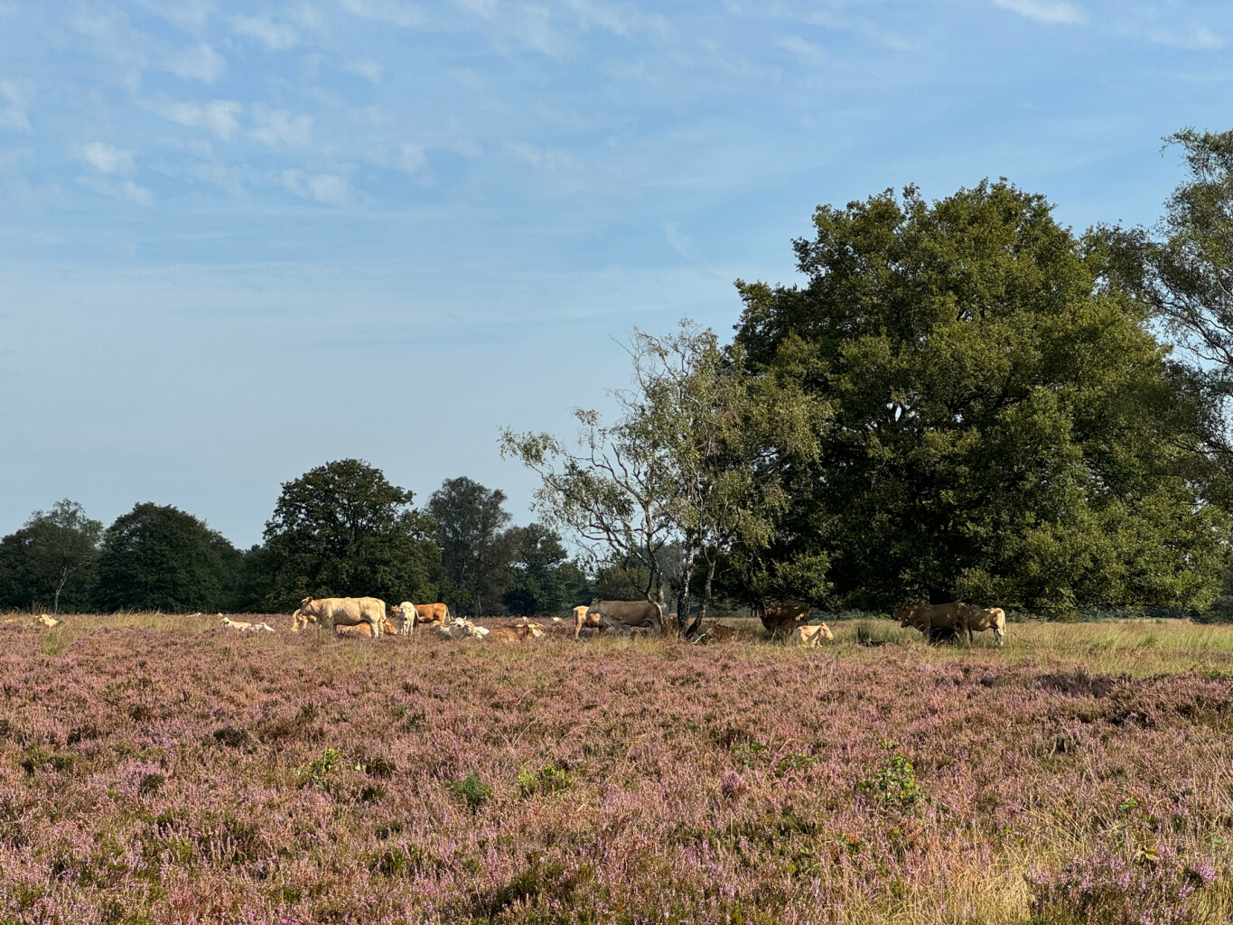
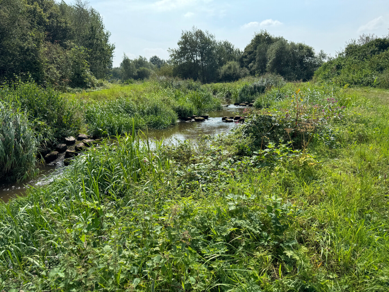
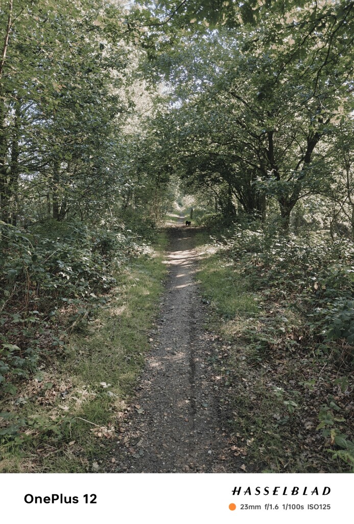
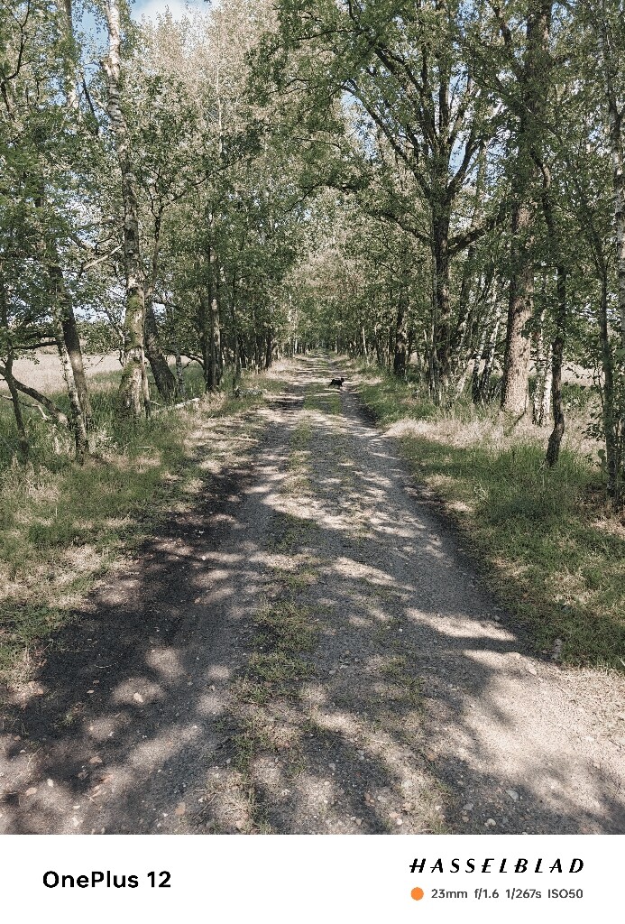
The Van Gogh National Park is a mosaic of agricultural fields, small woodlands, and stream valleys shaped by centuries of Brabant farming. Unlike vast, uninterrupted wilderness areas, this landscape is characterized by its intimate scale, where small patches of pine forest alternate with open pastures and historic hedgerows. Walking here means navigating a patchwork of working farmland and restored natural corridors rather than a single, continuous forest. Underfoot, the paths transition between packed dirt farm tracks, sandy lanes bordered by oak trees, and occasional grassy dikes along the small rivers.
Read more
About Van Gogh
The Van Gogh National Park is a mosaic of agricultural fields, small woodlands, and stream valleys shaped by centuries of Brabant farming. Unlike vast, uninterrupted wilderness areas, this landscape is characterized by its intimate scale, where small patches of pine forest alternate with open pastures and historic hedgerows. Walking here means navigating a patchwork of working farmland and restored natural corridors rather than a single, continuous forest. Underfoot, the paths transition between packed dirt farm tracks, sandy lanes bordered by oak trees, and occasional grassy dikes along the small rivers.
Read moreThe Van Gogh National Park is a mosaic of agricultural fields, small woodlands, and stream valleys shaped by centuries of Brabant farming. Unlike vast, uninterrupted wilderness areas, this landscape is characterized by its intimate scale, where small patches of pine forest alternate with open pastures and historic hedgerows. Walking here means navigating a patchwork of working farmland and restored natural corridors rather than a single, continuous forest. Underfoot, the paths transition between packed dirt farm tracks, sandy lanes bordered by oak trees, and occasional grassy dikes along the small rivers.
This landscape reflects the historical transition from heathland reclamation to modern agriculture. You will notice this on the trail through the straight drainage ditches cutting through low-lying fields, contrasted with the winding paths of older estates. The soil varies from dry, sandy ridges where Scots pines grow to damp, clay-heavy soil near the stream beds. These wet sections are often crossed via simple wooden footbridges, while the higher sandy tracks remain firm.
This area does not offer dramatic elevation changes or deep valleys; the terrain is mostly flat with gentle, almost imperceptible rises. It is a lived-in landscape where quiet, rural lanes often run parallel to active farms, meaning you will hear the sounds of local agriculture alongside birdsong. The busier sections tend to cluster around the historic village edges and estate grounds, while the agricultural links between them offer a more straightforward, functional walking experience.
Hiking routes in Van Gogh (175)
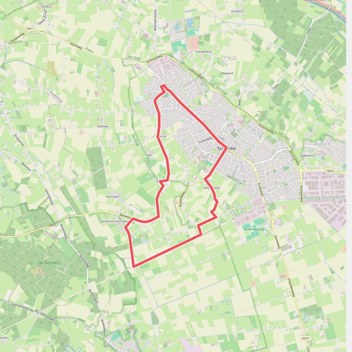
#1. 10.3km
Schijndel,Sint-Oedenrode
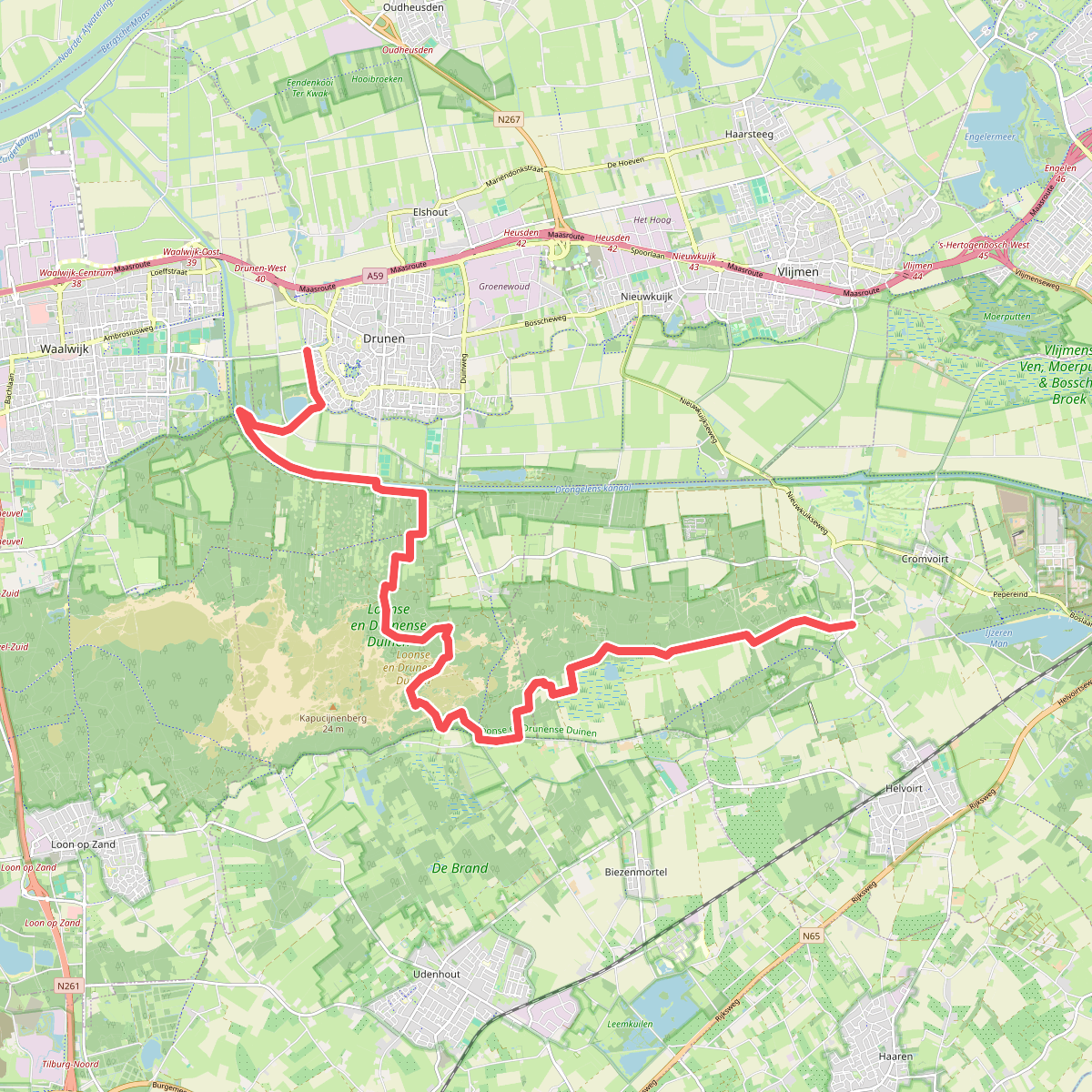
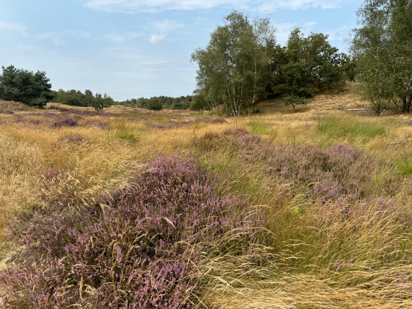
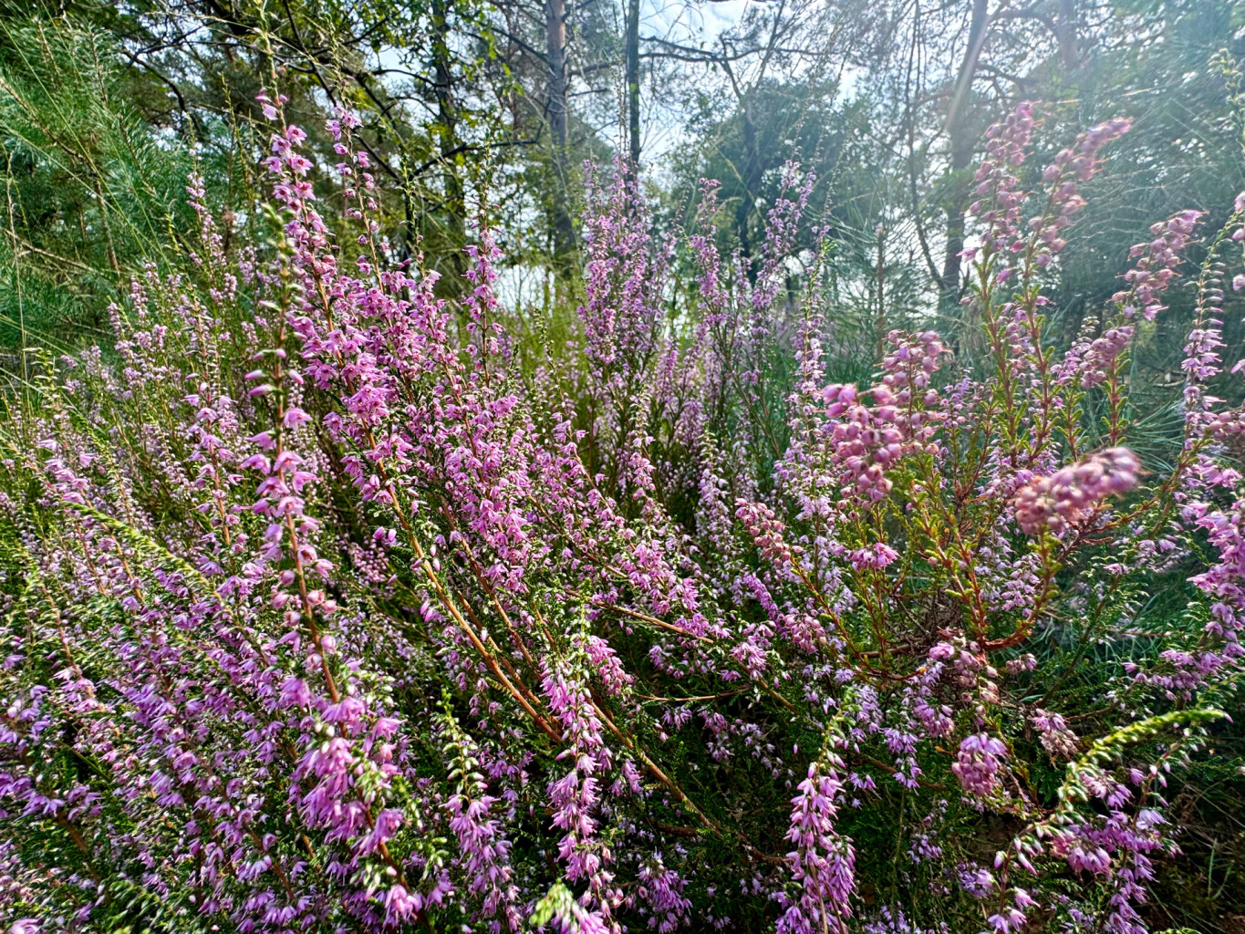
#2. Drunen - Distelberg · Pelgrimspad etappe 11
Helvoirt,Biezenmortel,Udenhout,Drunen
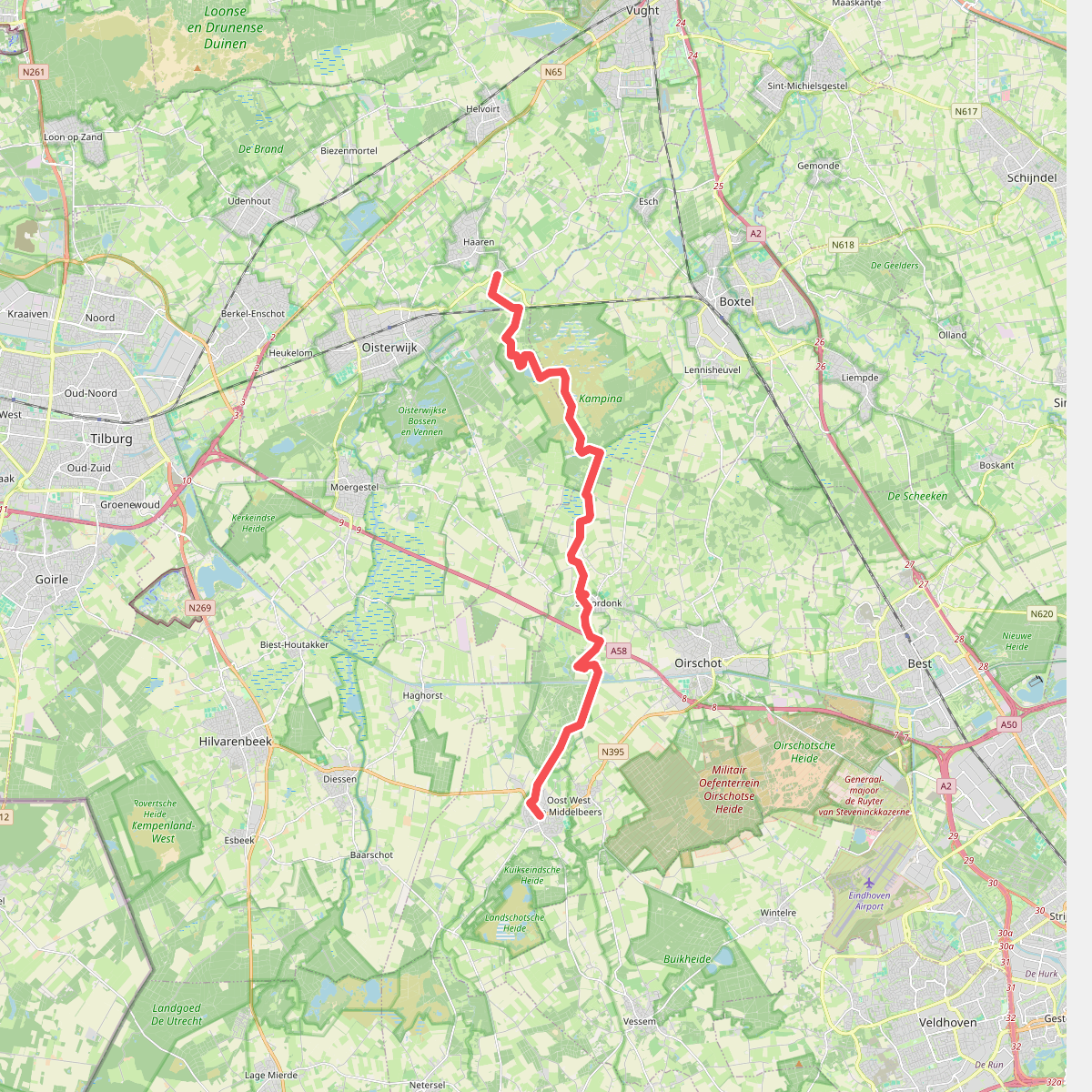
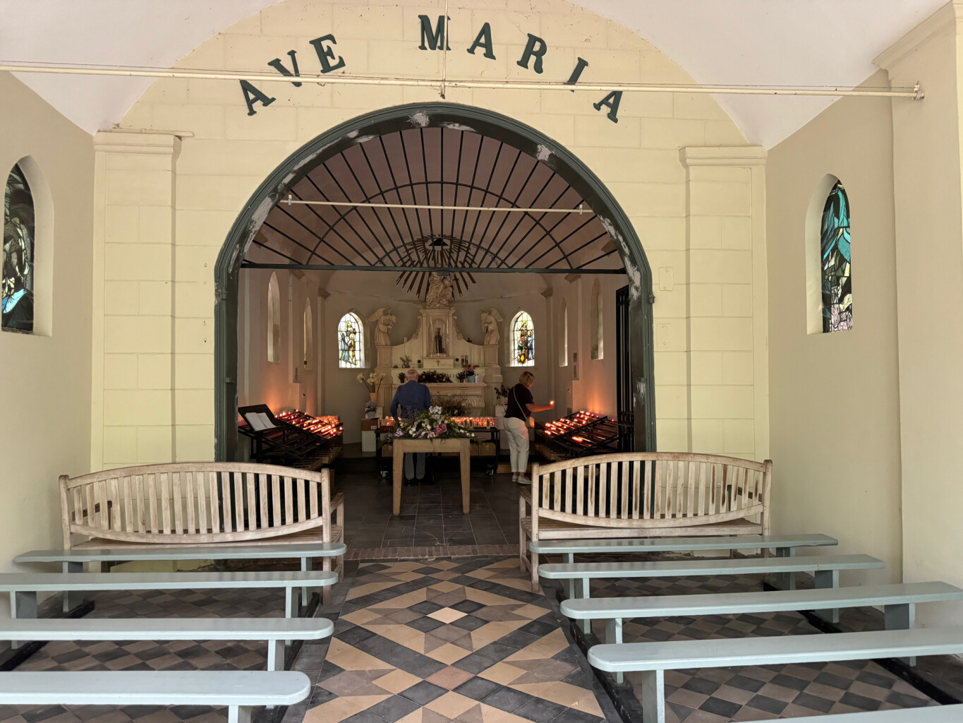
#3. Haaren - Middelbeers · Pelgrimspad etappe 14
Oost West en Middelbeers,Oirschot,Oisterwijk,Haaren
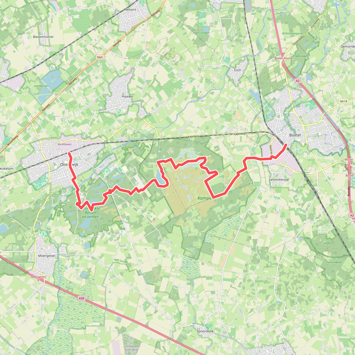
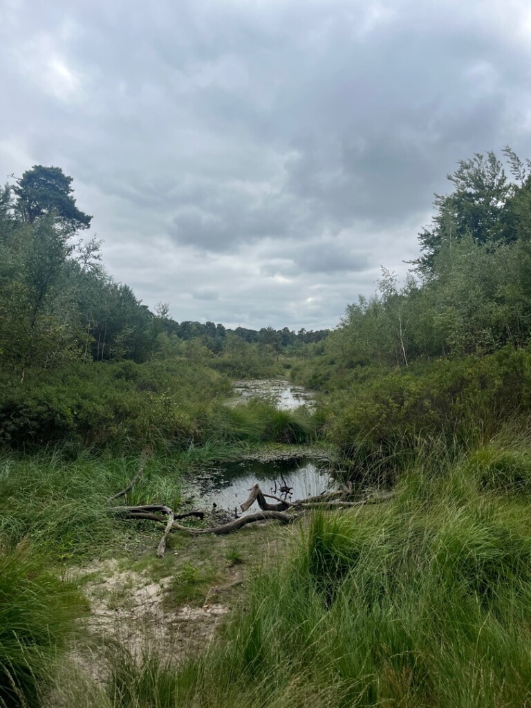
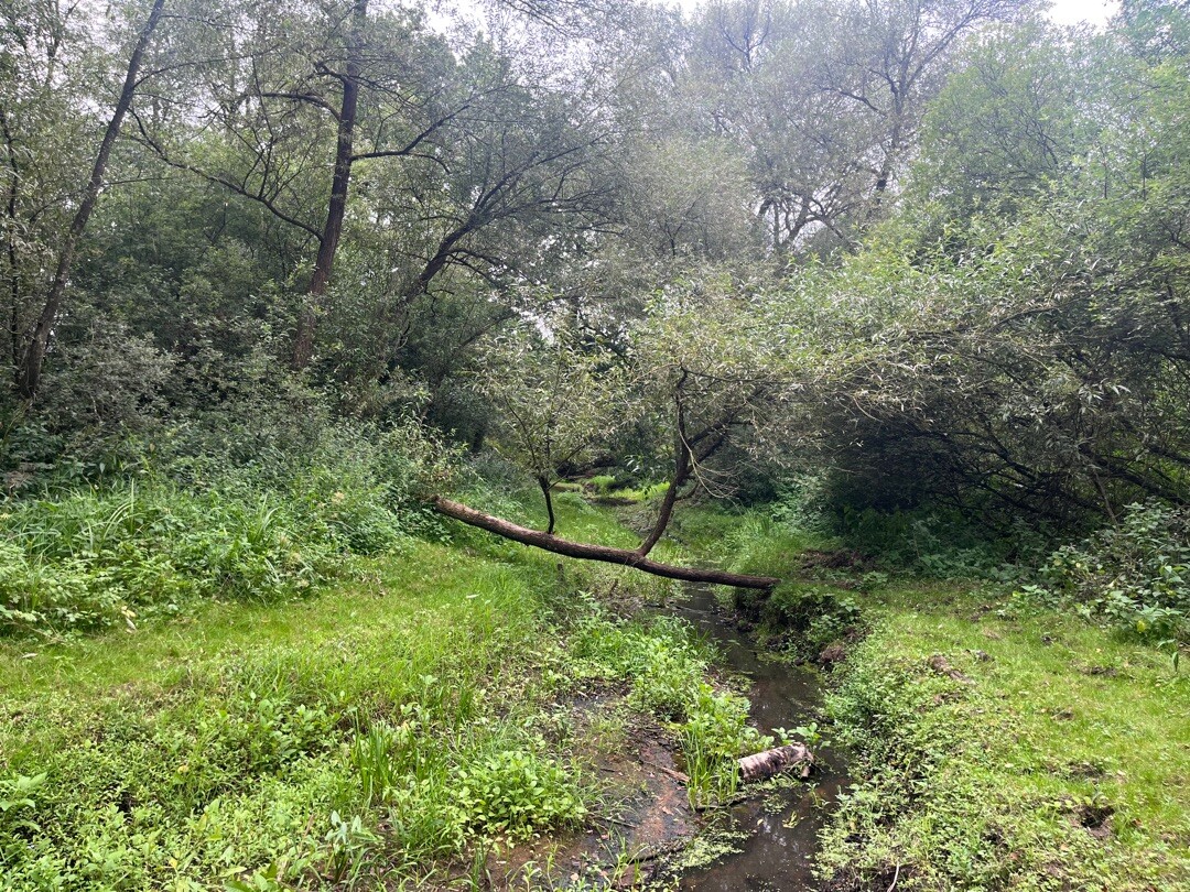
#4. Kampina
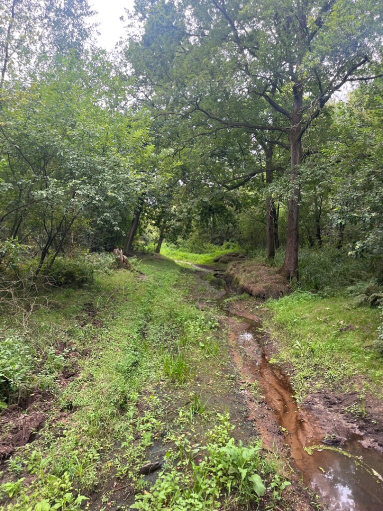
Boxtel,Oisterwijk,Haaren
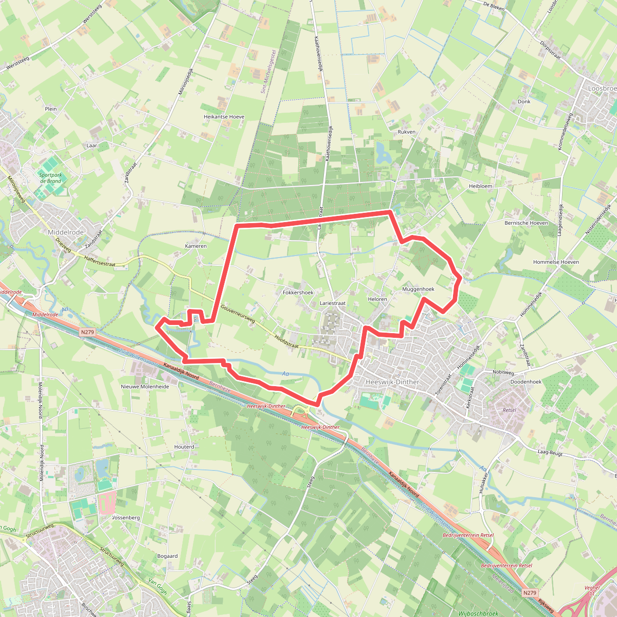
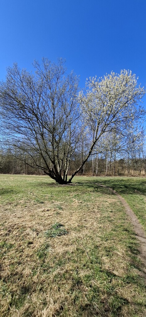
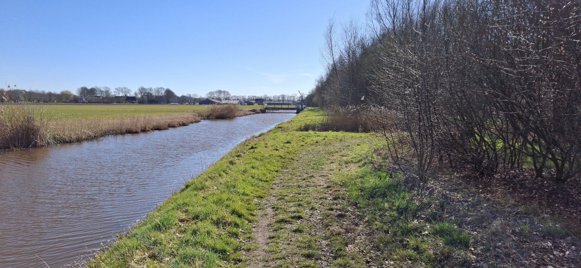
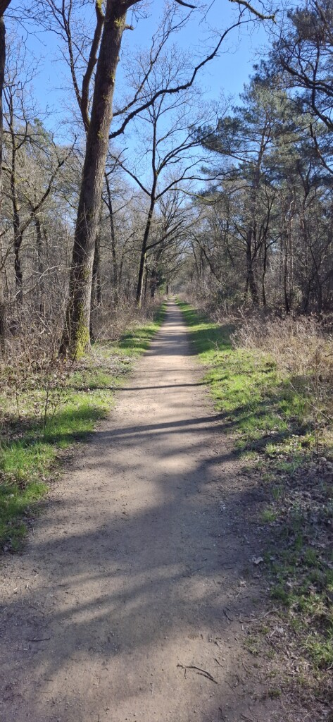
#5. Kloosterrondwandeling Heeswijk-Dinther
Heeswijk-Dinther
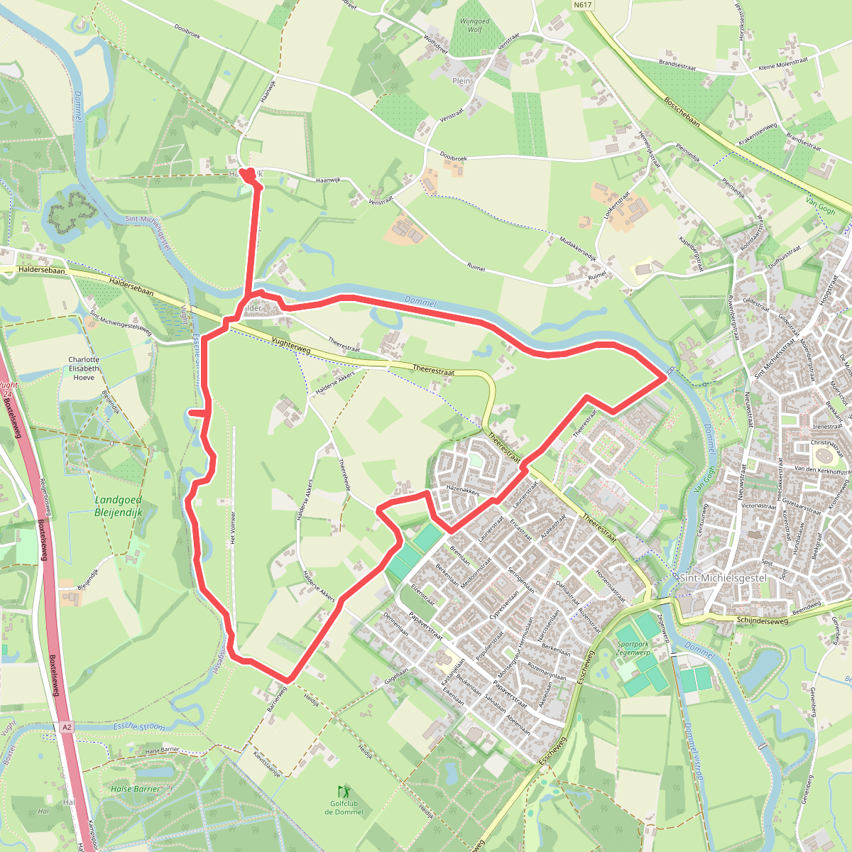


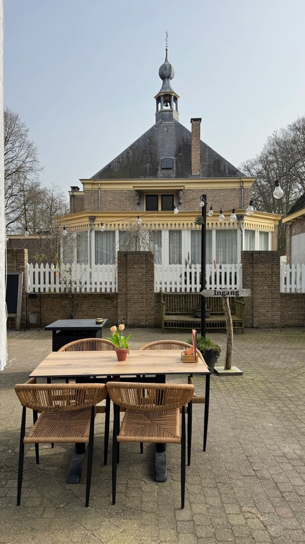
#6. Landgoed bleijendijk en Haanwijk
Hangbruggen en veel weilanden
Sint-Michielsgestel
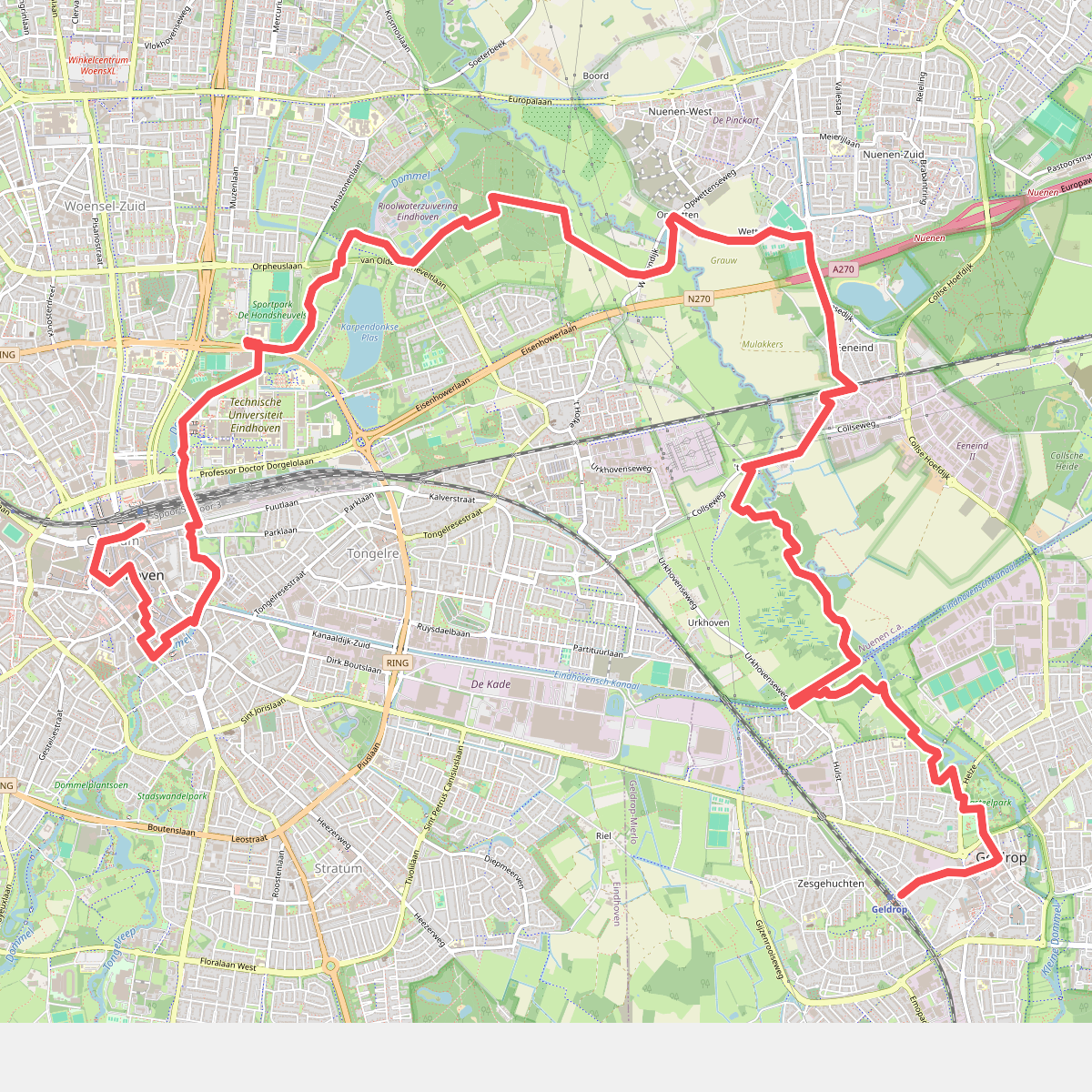
#7. OV-Stapper Dommel
Eindhoven,Nuenen,Geldrop
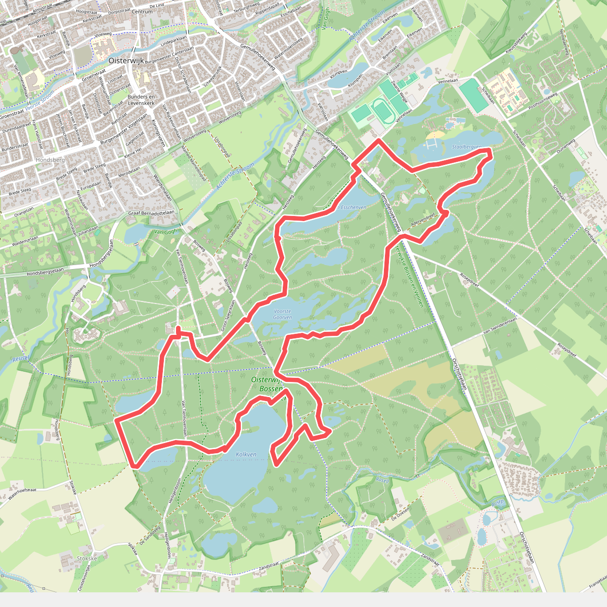
#8. TOP Natuur wandelroute Oisterwijkse Bossen & Vennen
Oisterwijk,Moergestel
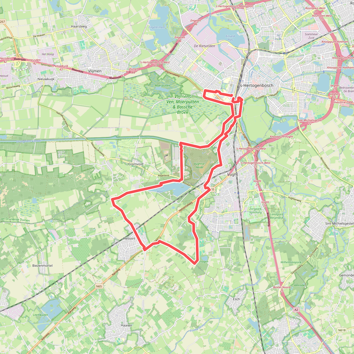
#9. Tweede etappe 25 km Bossche A4D 2026
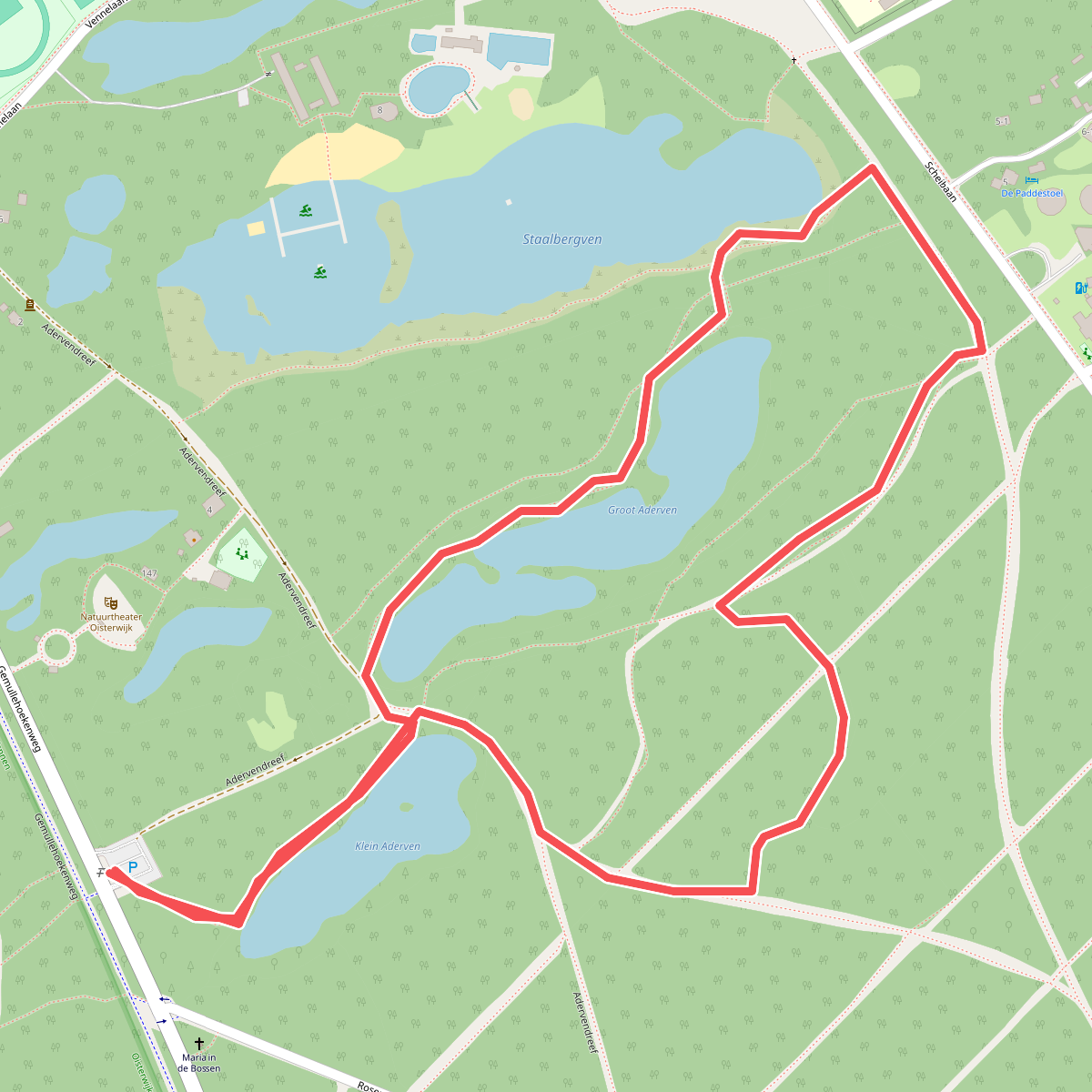
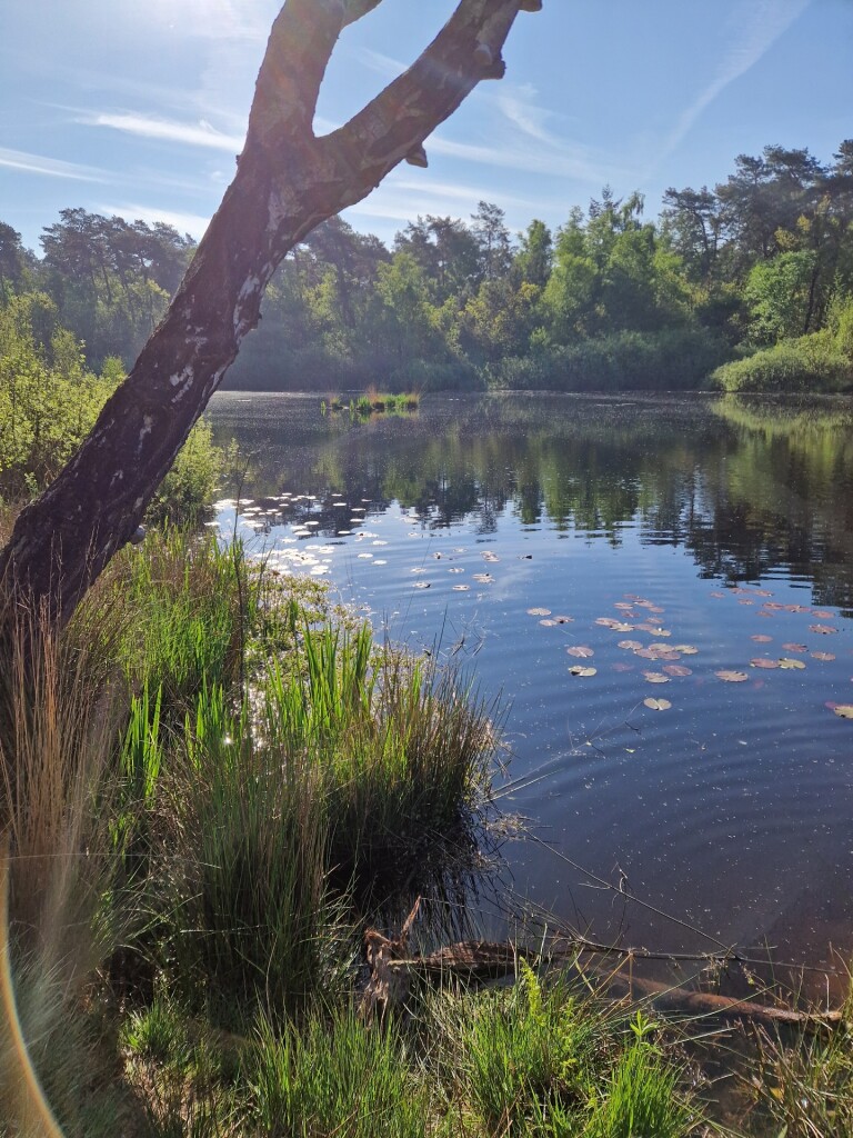
#10. Wandelroute Aderven in Oisterwijk
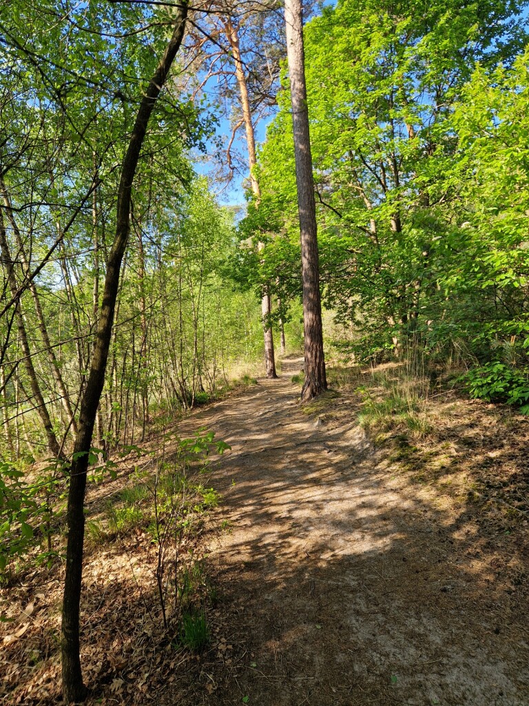
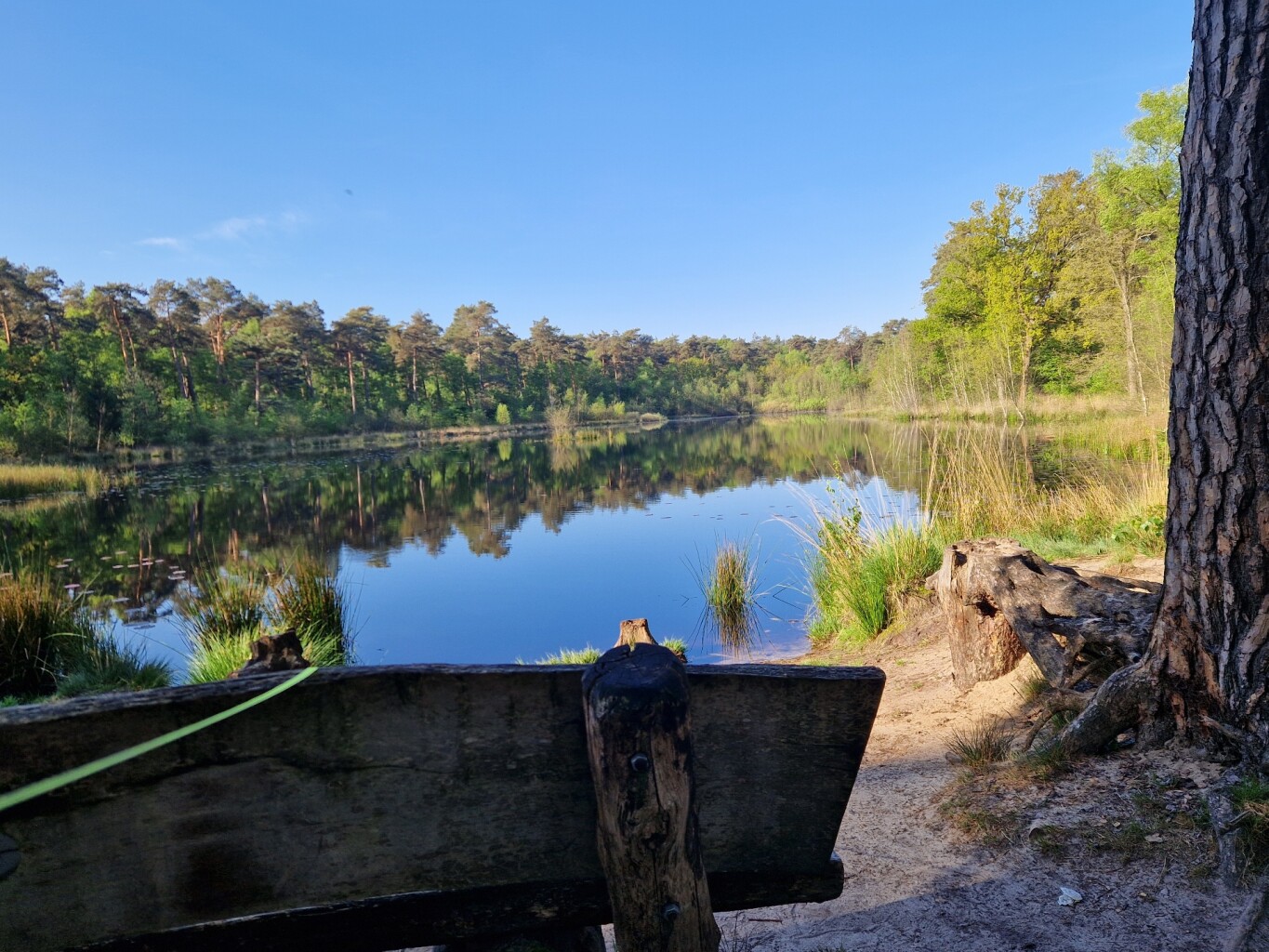
Oisterwijk
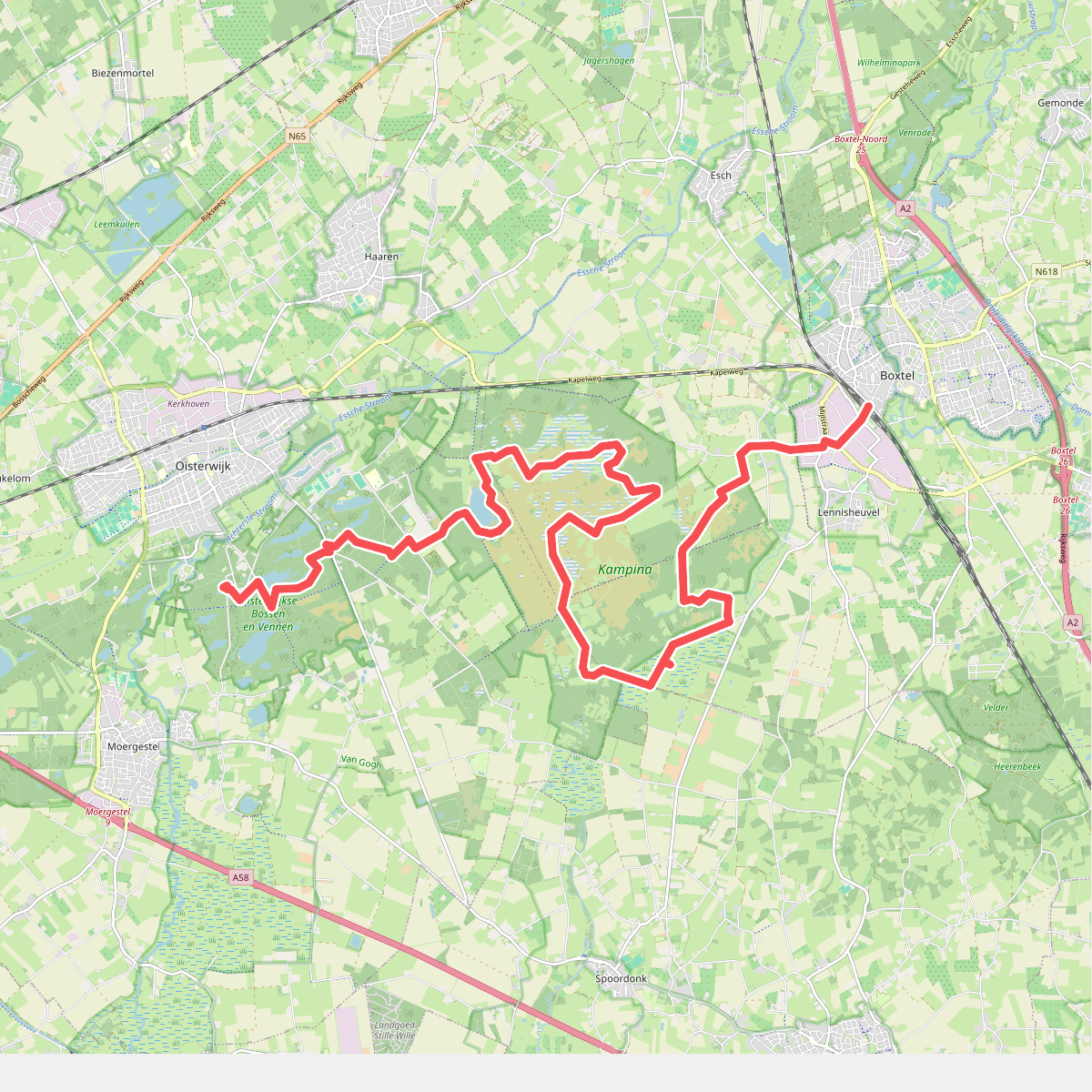
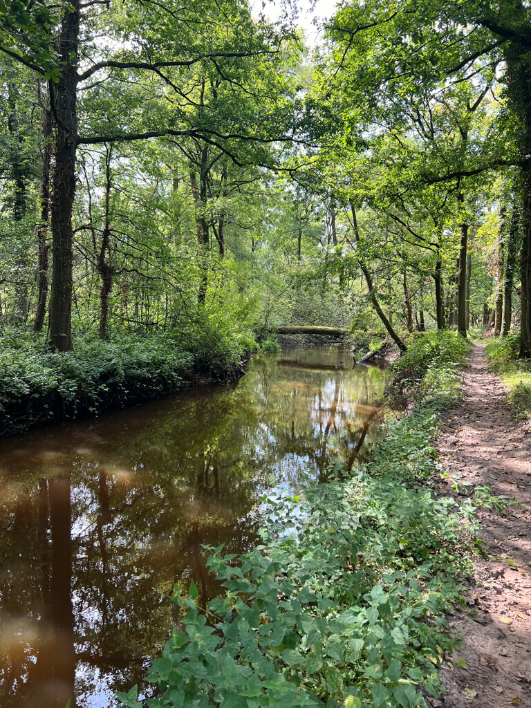
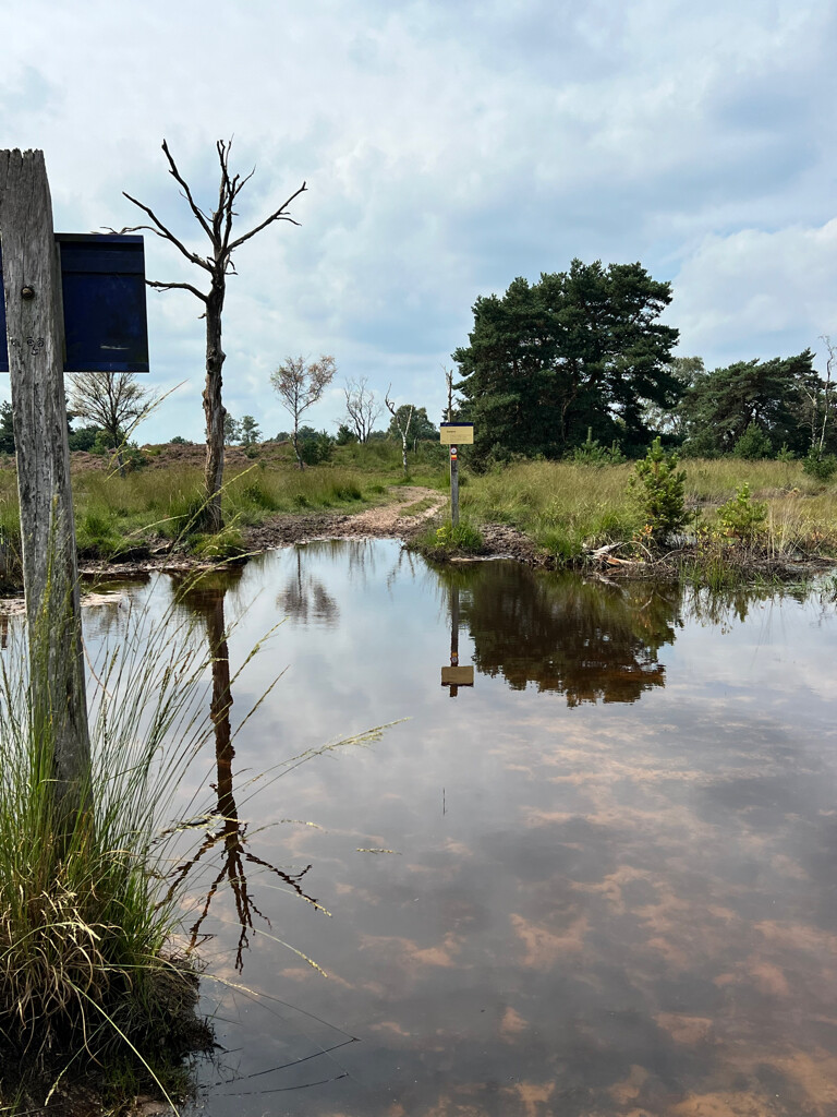
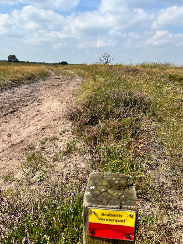
#11. Oisterwijk - Boxtel · Brabants Vennenpad etappe 1
Boxtel,Oirschot,Oisterwijk,Haaren
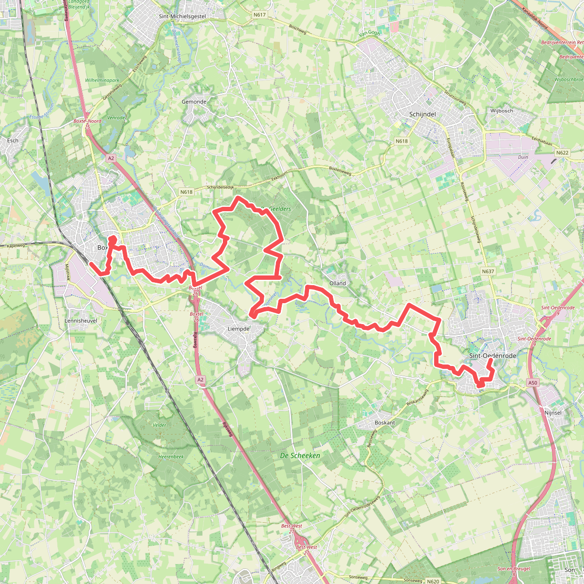
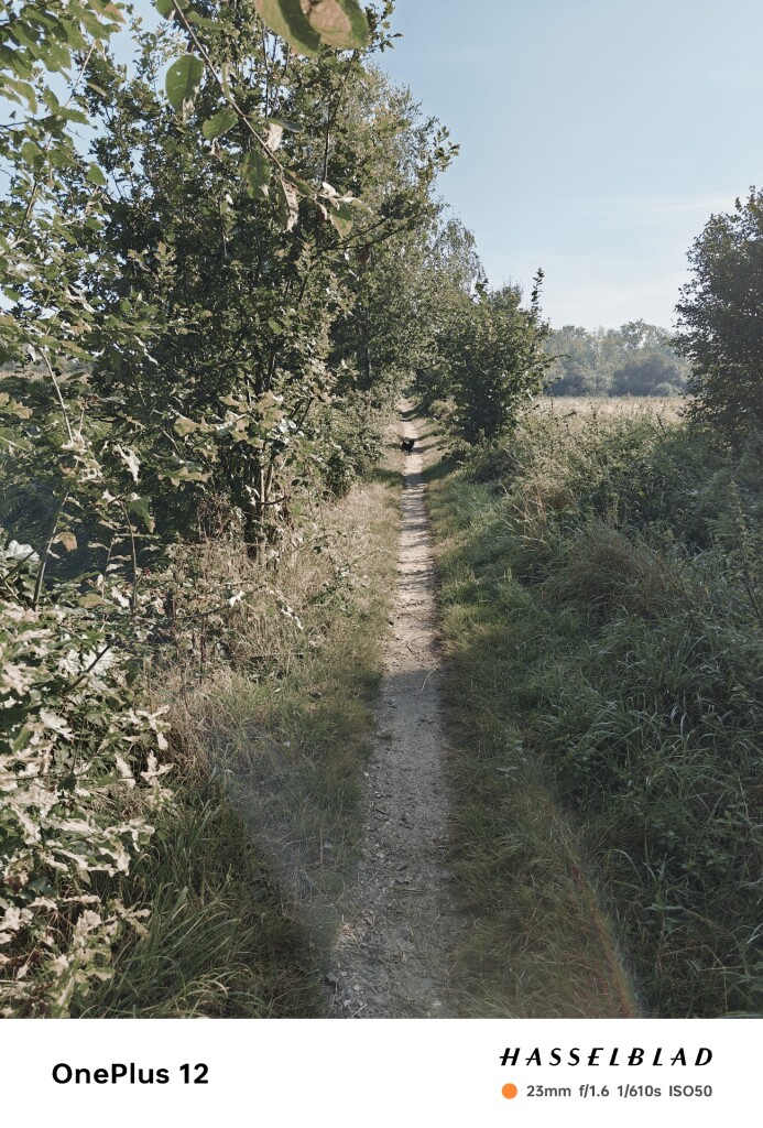
#12. Boxtel - Sint-Oedenrode · Brabants Vennenpad etappe 2
Sint-Oedenrode,Liempde,Gemonde,Boxtel




