


The best hiking routes in Van Oordt's Mersken
Discover the best walks in Van Oordt's Mersken. 6 routes on the map, with descriptions, photos and GPX.
Managed by Staatsbosbeheer;Rijkswaterstaat
About Van Oordt's Mersken
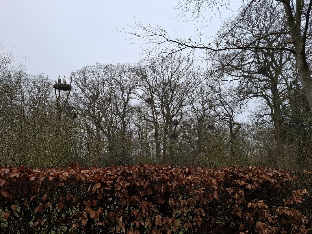
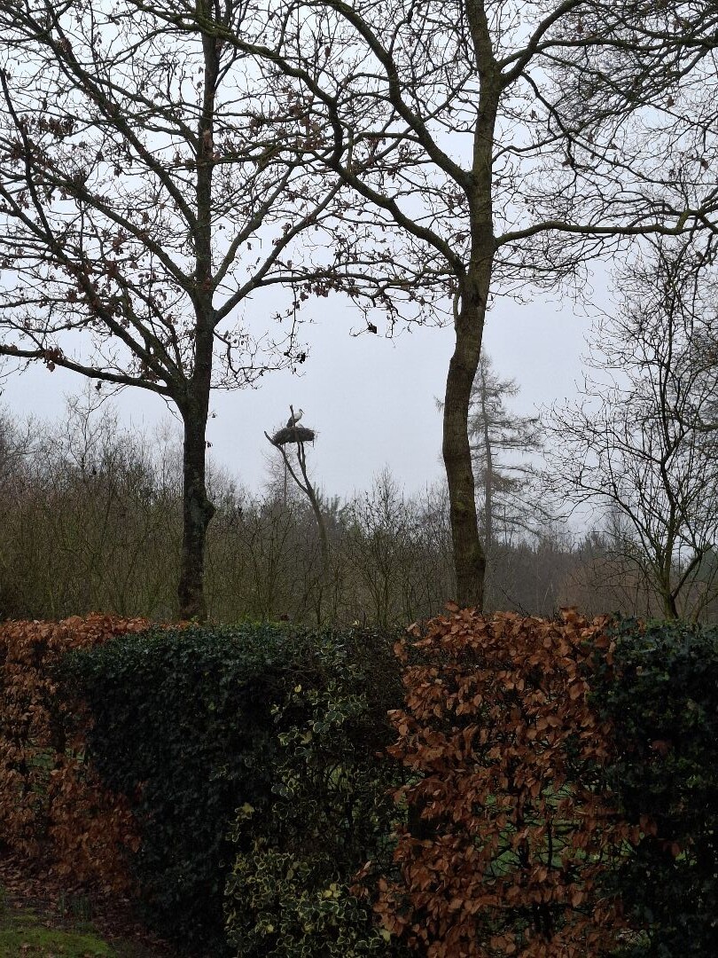
Van Oordt's Mersken is a low-lying valley reserve shaped by the small river Koningsdiep. Unlike the dry pine forests and sandy dunes found elsewhere in the province, this area consists of wet, peaty grasslands, alder carr, and thickets. The landscape is defined by its seepage water, which rises from the deeper ground layers and feeds rare marsh plants. Walkers will notice a distinct transition from the slightly higher, sandy edges down into the damp, flat meadows that line the watercourse.
Read more
About Van Oordt's Mersken
Van Oordt's Mersken is a low-lying valley reserve shaped by the small river Koningsdiep. Unlike the dry pine forests and sandy dunes found elsewhere in the province, this area consists of wet, peaty grasslands, alder carr, and thickets. The landscape is defined by its seepage water, which rises from the deeper ground layers and feeds rare marsh plants. Walkers will notice a distinct transition from the slightly higher, sandy edges down into the damp, flat meadows that line the watercourse.
Read moreVan Oordt's Mersken is a low-lying valley reserve shaped by the small river Koningsdiep. Unlike the dry pine forests and sandy dunes found elsewhere in the province, this area consists of wet, peaty grasslands, alder carr, and thickets. The landscape is defined by its seepage water, which rises from the deeper ground layers and feeds rare marsh plants. Walkers will notice a distinct transition from the slightly higher, sandy edges down into the damp, flat meadows that line the watercourse.
Underfoot, the terrain is dominated by grassy paths and unpaved tracks that can be soft and muddy. There are no paved promenades or extensive boardwalk networks here, so sturdy footwear is essential. The walking routes follow the old field boundaries and ditch edges, offering a close-up view of the dense network of drainage channels that historically divided the hayfields. It is a working conservation landscape where cattle graze to keep the scrub from taking over.
This reserve is suited for those who prefer quiet, low-key agricultural nature over dramatic vistas or tourist facilities. In May and June, the meadows are colored by blooming ragged robin and orchids, which are the main botanical draw. There are no visitor centers or cafes within the boundaries, making it a straightforward destination for self-sufficient walkers who want to observe wetland bird species and traditional Frisian stream valley vegetation.
Hiking routes in Van Oordt's Mersken (6)
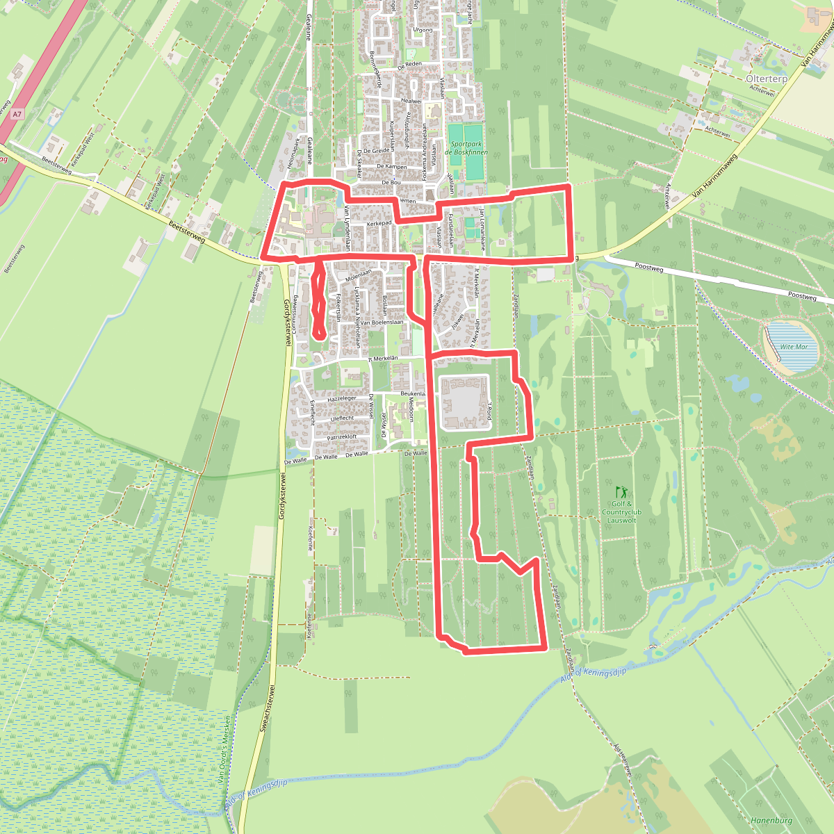
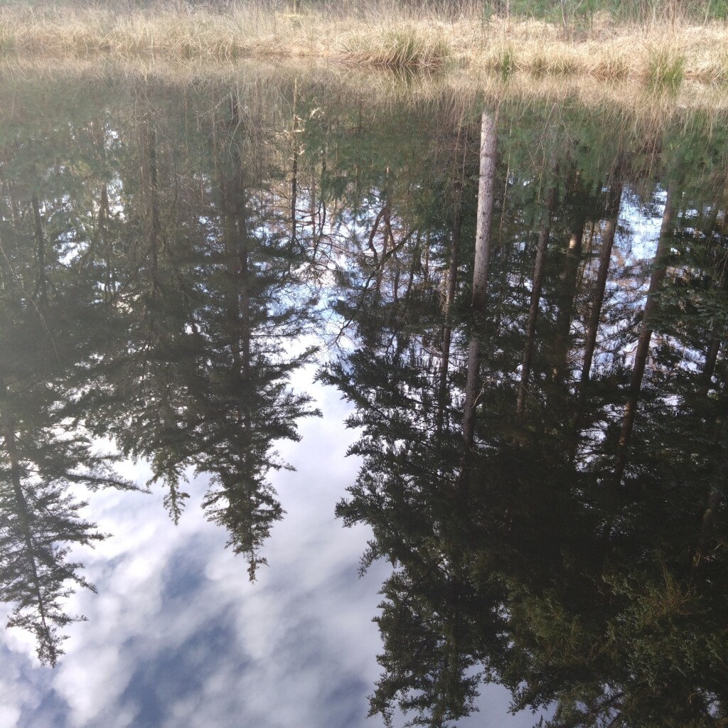
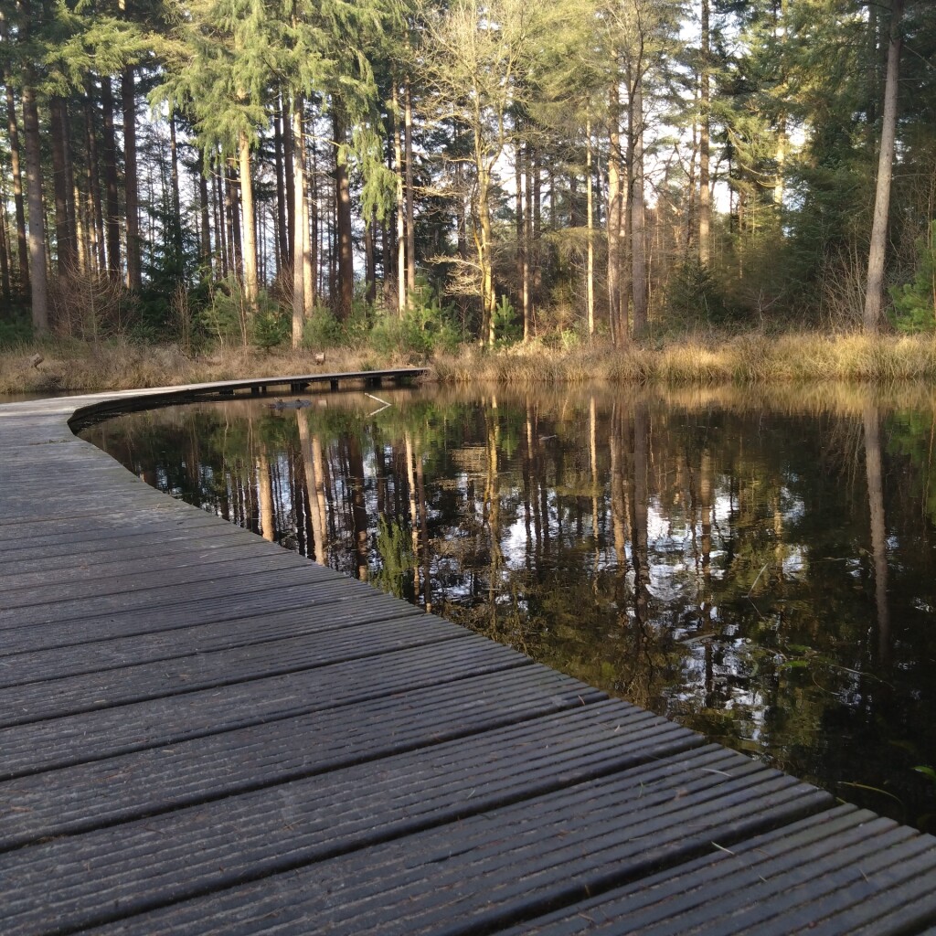
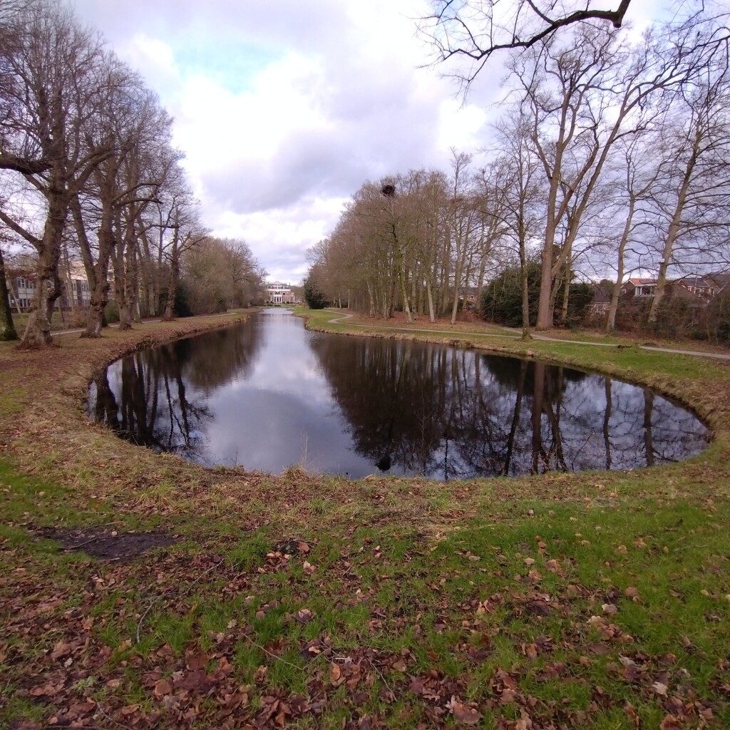
#1. Adellijke kleurenpracht
Beetsterzwaag
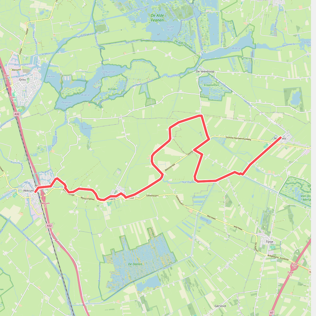
#2. Akkrum - Nij Beets · Koningspad XL etappe 8
Nij Beets,Tijnje,Aldeboarn,De Veenhoop,Nes,Akkrum
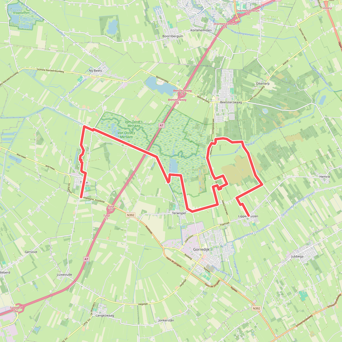
#3. Lippenhuizen - Tijnje · Koningspad XL etappe 4
Tijnje,Nij Beets,Terwispel,Gorredijk,Lippenhuizen,Beetsterzwaag
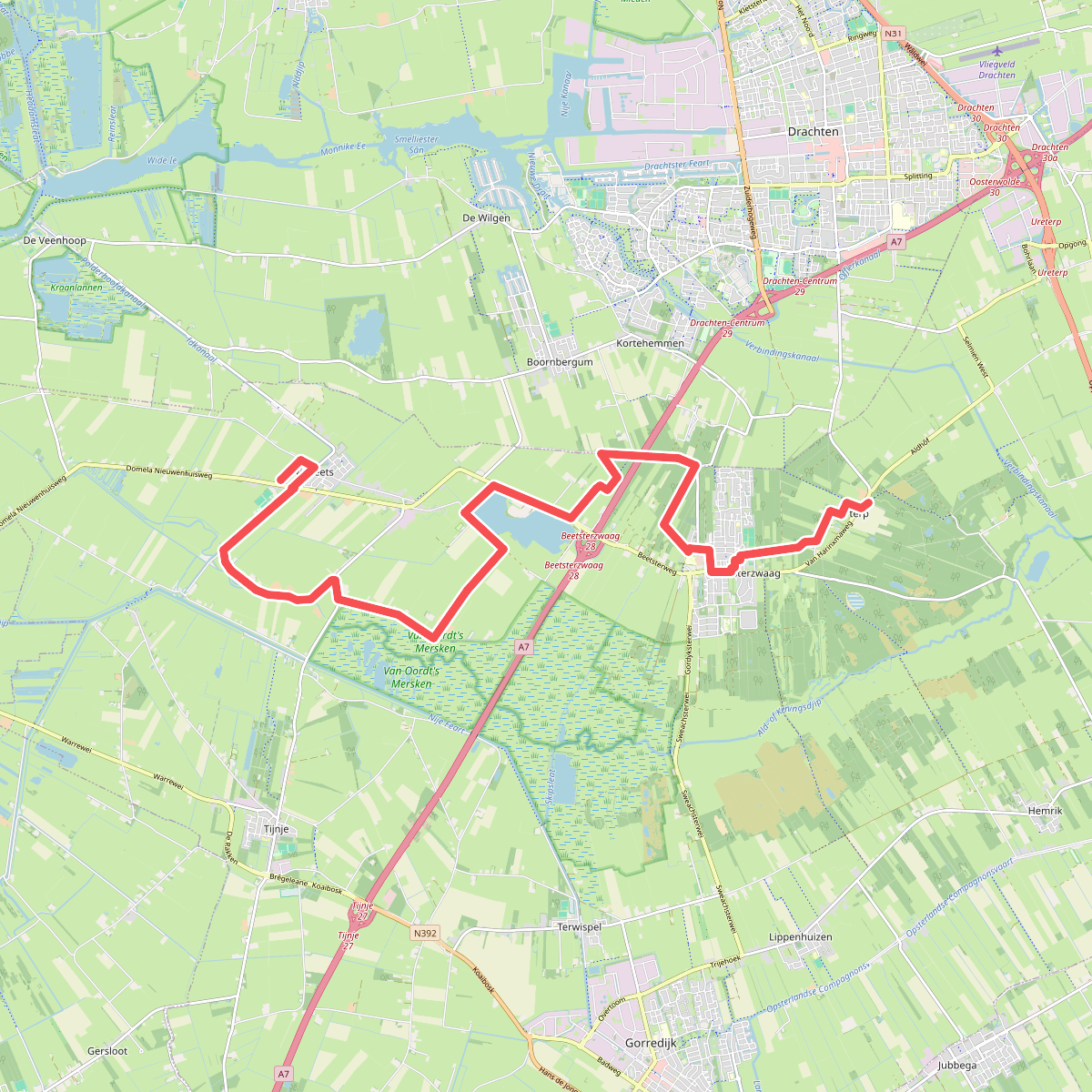
#4. Nij Beets - Olterterp · Koningspad XL etappe 9
Beetsterzwaag,Drachten,Kortehemmen,Boornbergum,Nij Beets
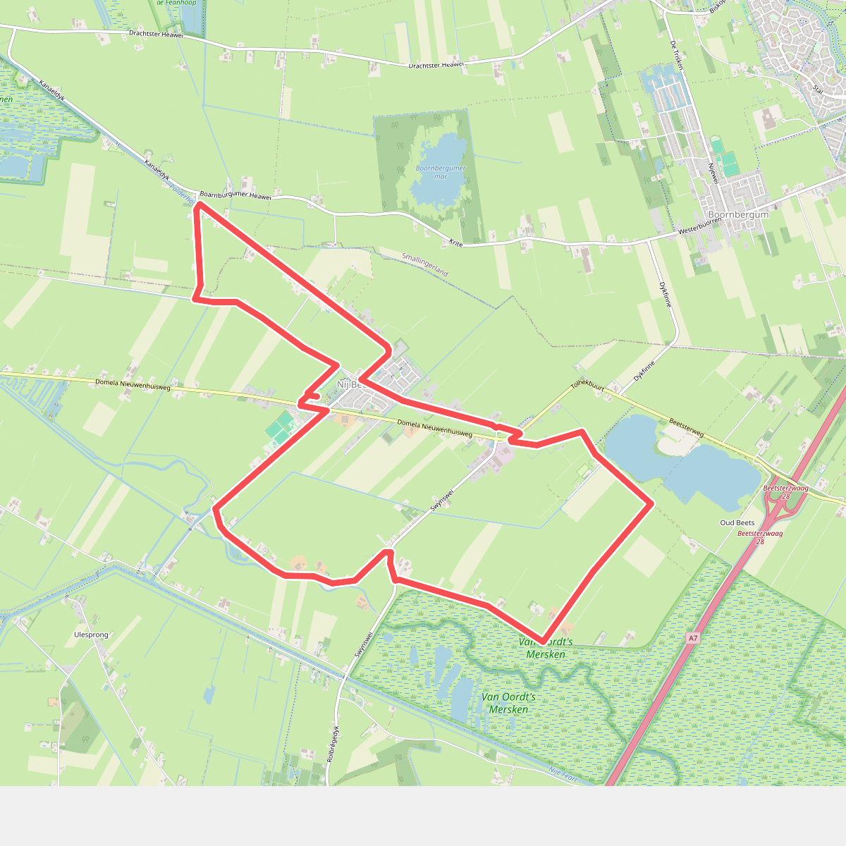
#5. Veelzijdig Nij Beets
Nij Beets,Boornbergum,De Veenhoop
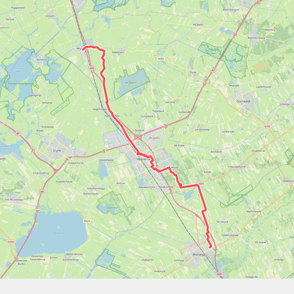
#6. Wolvega-Akkrum · Liberation route etappe 1
Akkrum,Nes,Aldeboarn,Haskerdijken,Vegelinsoord,Terband,Heerenveen,Oranjewoud,Mildam,Ter Idzard,Nijeholtwolde,Wolvega,Oldeholtpade




