


The best hiking routes in Wässernachtal
Discover the best walks in Wässernachtal. 9 routes on the map, with descriptions, photos and GPX.
About Wässernachtal
Wässernachtal offers a distinct walking experience shaped by its namesake stream, the Wässernach. Unlike the dry, sandy pine forests of the surrounding uplands, this valley is defined by its damp alluvial soils and dense riparian woodland. Walkers will notice a sharp contrast between the damp, shaded valley floor, where alder and willow thrive in wet clay, and the slightly higher, drier slopes dominated by beech and oak trees. The transition between these two zones is visible within just a few steps of the path.
Read more
About Wässernachtal
Wässernachtal offers a distinct walking experience shaped by its namesake stream, the Wässernach. Unlike the dry, sandy pine forests of the surrounding uplands, this valley is defined by its damp alluvial soils and dense riparian woodland. Walkers will notice a sharp contrast between the damp, shaded valley floor, where alder and willow thrive in wet clay, and the slightly higher, drier slopes dominated by beech and oak trees. The transition between these two zones is visible within just a few steps of the path.
Read moreWässernachtal offers a distinct walking experience shaped by its namesake stream, the Wässernach. Unlike the dry, sandy pine forests of the surrounding uplands, this valley is defined by its damp alluvial soils and dense riparian woodland. Walkers will notice a sharp contrast between the damp, shaded valley floor, where alder and willow thrive in wet clay, and the slightly higher, drier slopes dominated by beech and oak trees. The transition between these two zones is visible within just a few steps of the path.
Underfoot, the trails are primarily packed earth and forest tracks that can become muddy and soft near the water. There are no boardwalks or paved promenades here, so walkers should expect a natural, uneven surface with exposed tree roots. The terrain is gently sloping rather than steep, following the natural curves of the stream valley without any dramatic climbs or deep gorges. It is a landscape of close-up details, where the view is usually framed by dense foliage rather than wide, open vistas.
In April and May, the forest floor along the stream is covered in wild garlic and anemones, which briefly transform the undergrowth before the tree canopy closes. While the valley is generally a quiet destination for those seeking a straightforward woodland walk, the paths nearest the stream crossings tend to see more foot traffic on weekends. It is a reliable choice if you prefer intimate forest scenery and the sound of moving water over wide views or rugged terrain.
Hiking routes in Wässernachtal (9)
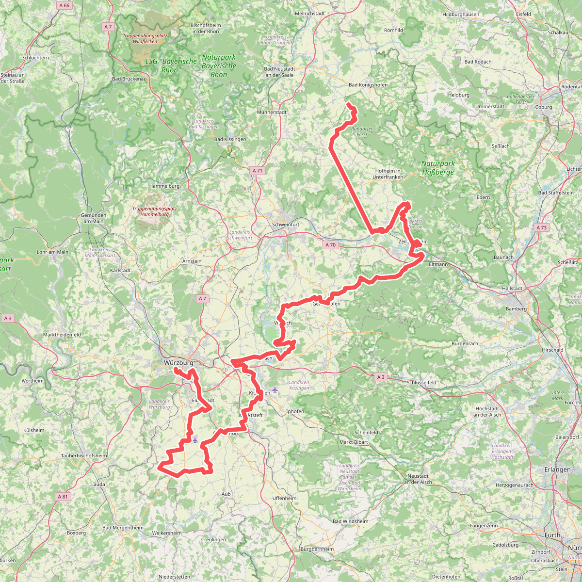
#1. Fränkischer Marienweg Route 3
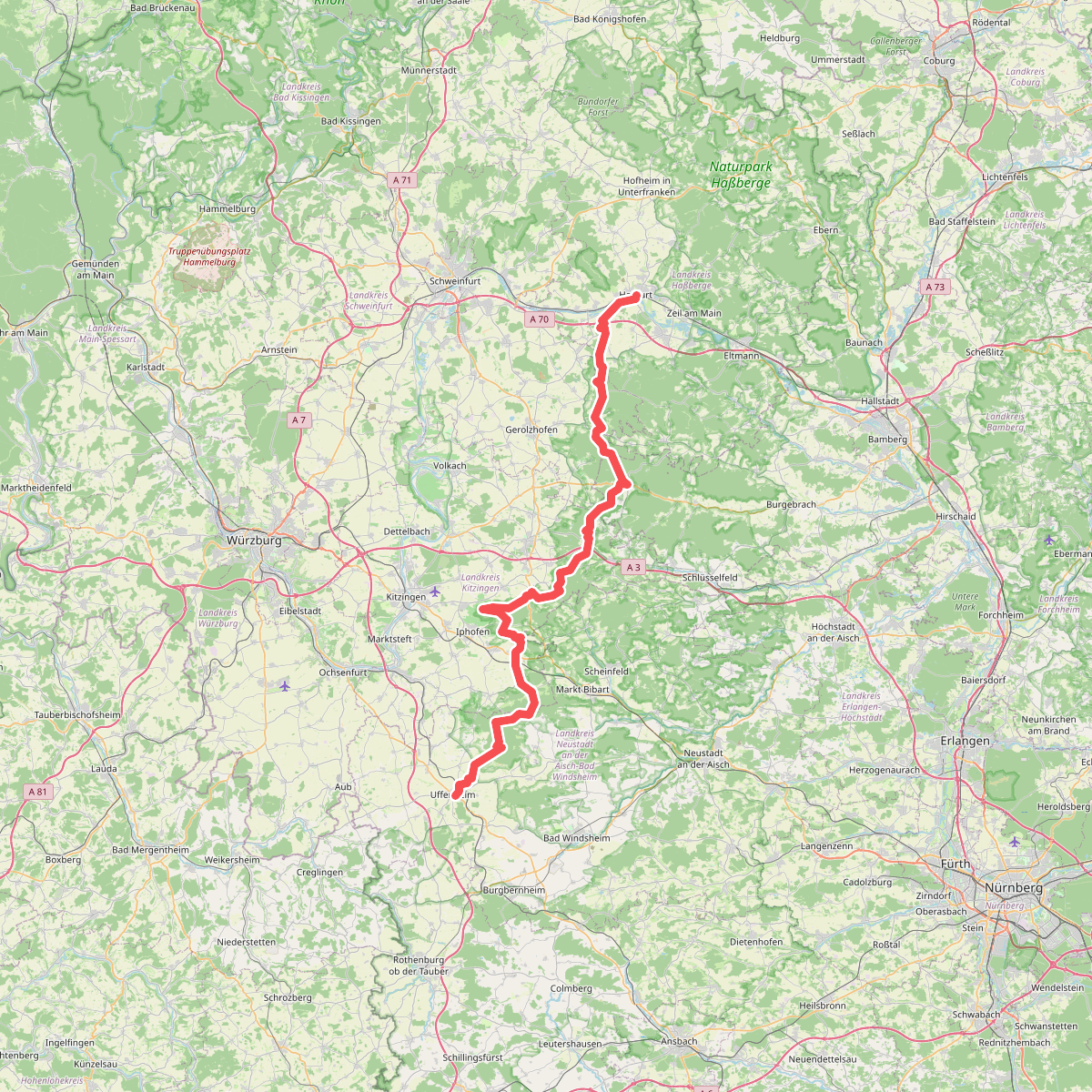
#2. Johann-Ludwig-Klarmann-Weg

#3. Lauftour HAS1
Haßfurt

#4. Lauftour HAS3
Haßfurt
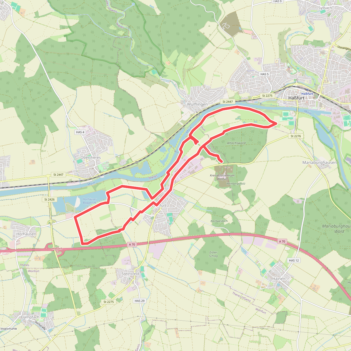
#5. Lauftour WON1
Haßfurt,Wonfurt
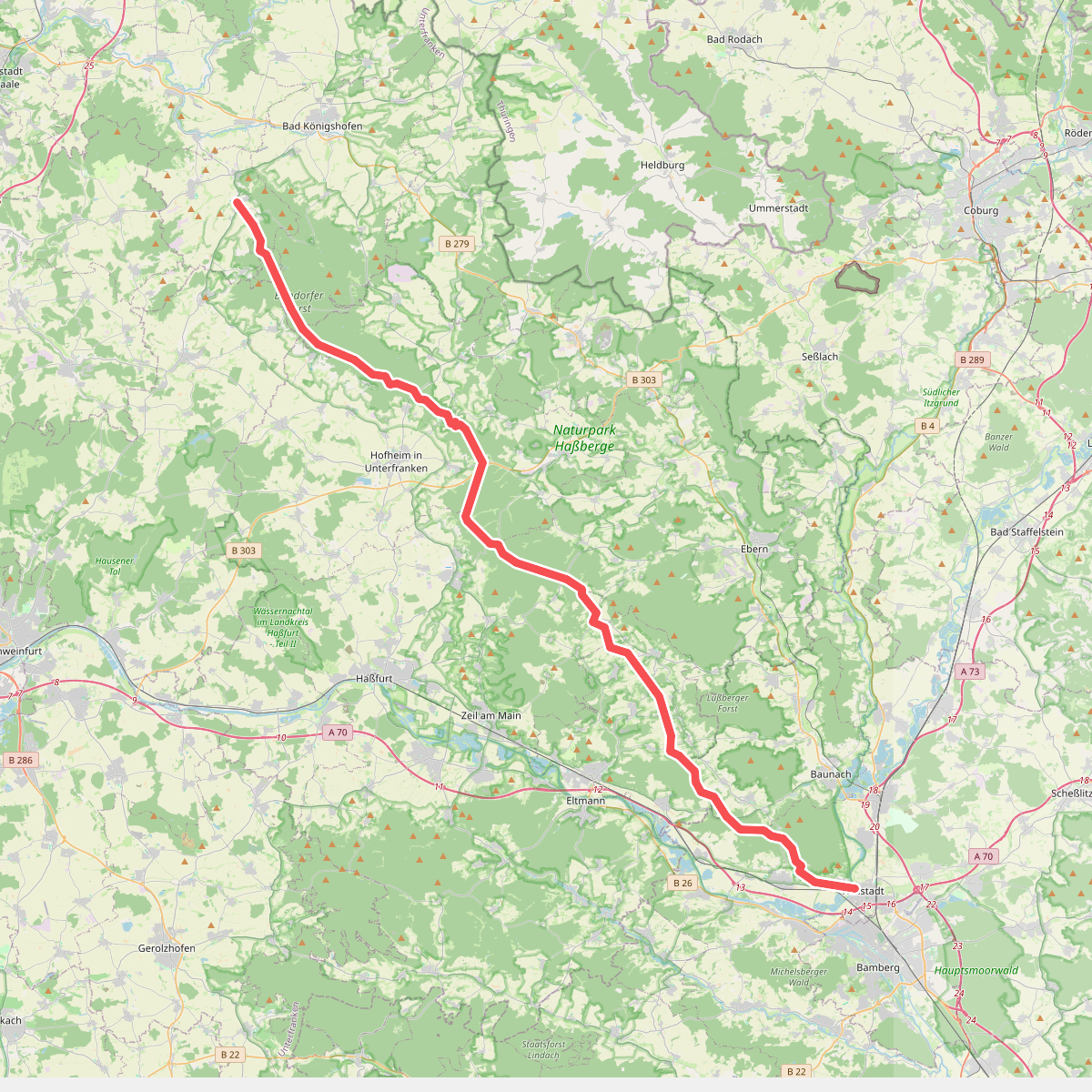
#6. Rennweg Haßberge
Hallstadt,Oberhaid,Lauter,Stettfeld,Ebelsbach,Breitbrunn,Kirchlauter,Königsberg in Bayern,Ebern,Hofheim in Unterfranken,Bundorf,Bundorfer Forst,Sulzfelder Forst,Sulzfeld

#7. Schweinfurter OberLand-Tour 1
Schonungen
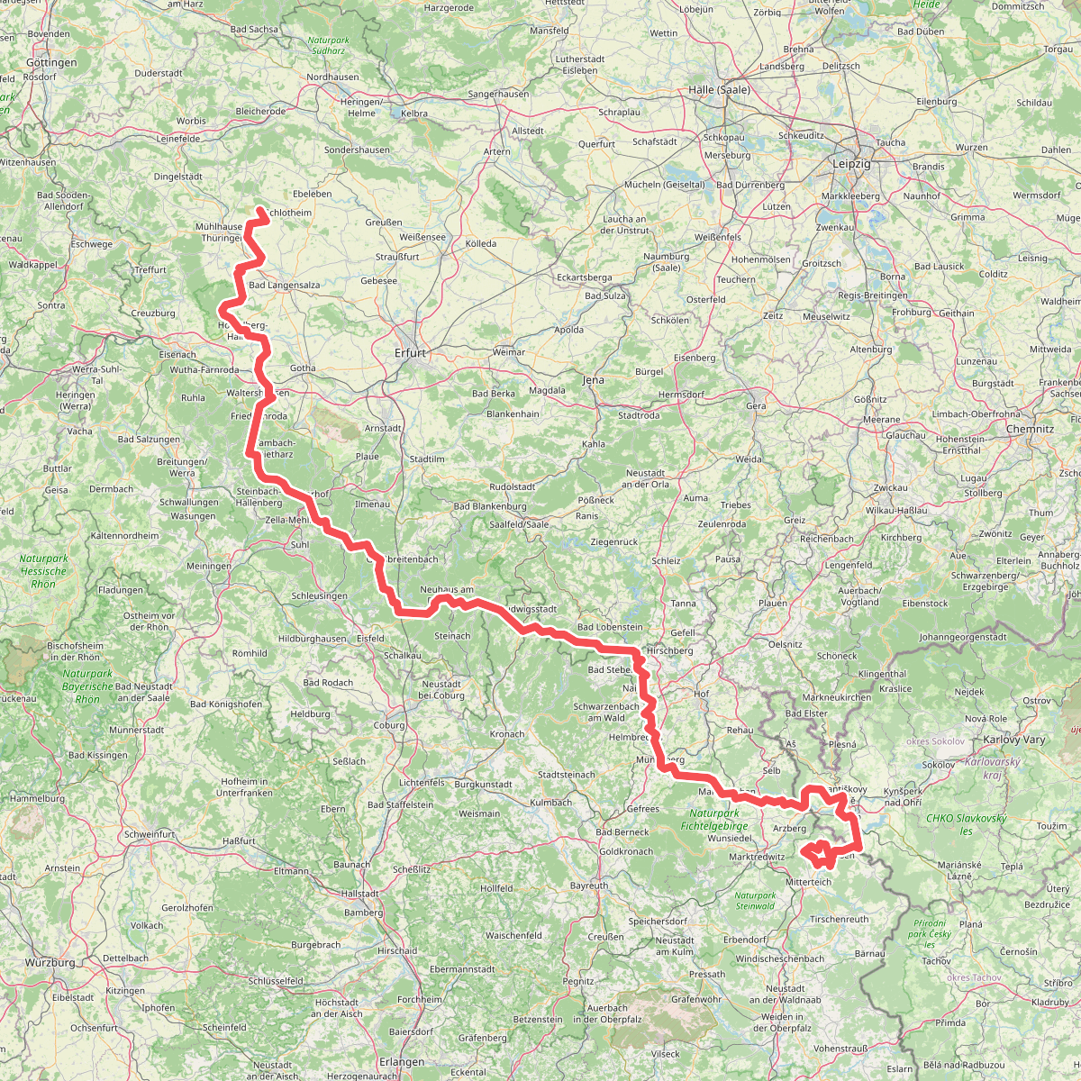
#8. Via Porta
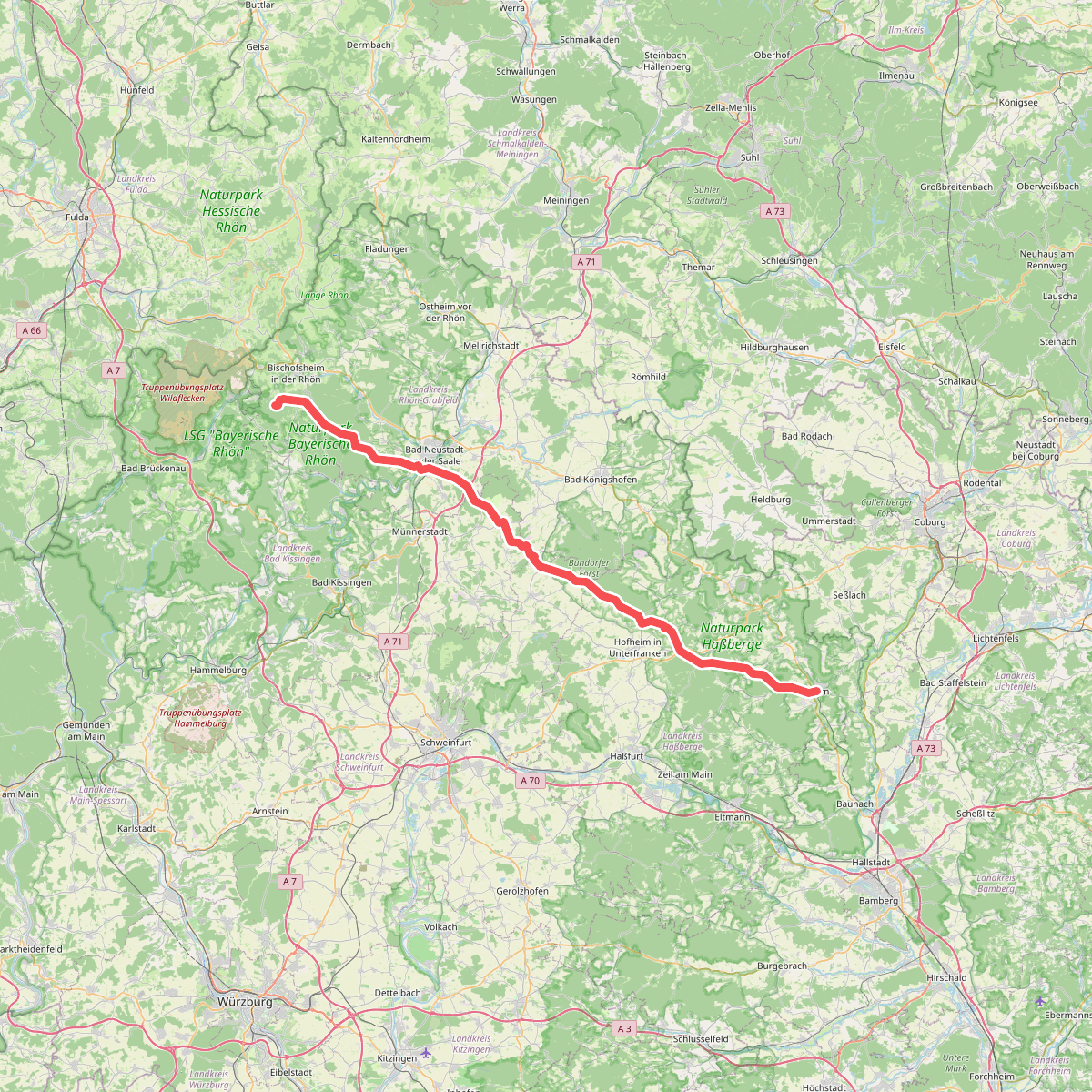
#9. Wallfahrtsweg Ebern Kreuzberg
Ebern,Burgpreppach,Hofheim in Unterfranken,Aidhausen,Bundorfer Forst,Stadtlauringen,Thundorf in Unterfranken,Münnerstadt,Strahlungen,Bad Neustadt an der Saale,Salz,Hohenroth,Steinacher Forst rechts der Saale,Burgwallbacher Forst,Forst Schmalwasser-Süd,Bischofsheim in der Rhön




