The best hiking routes in ZEC Monte Faro
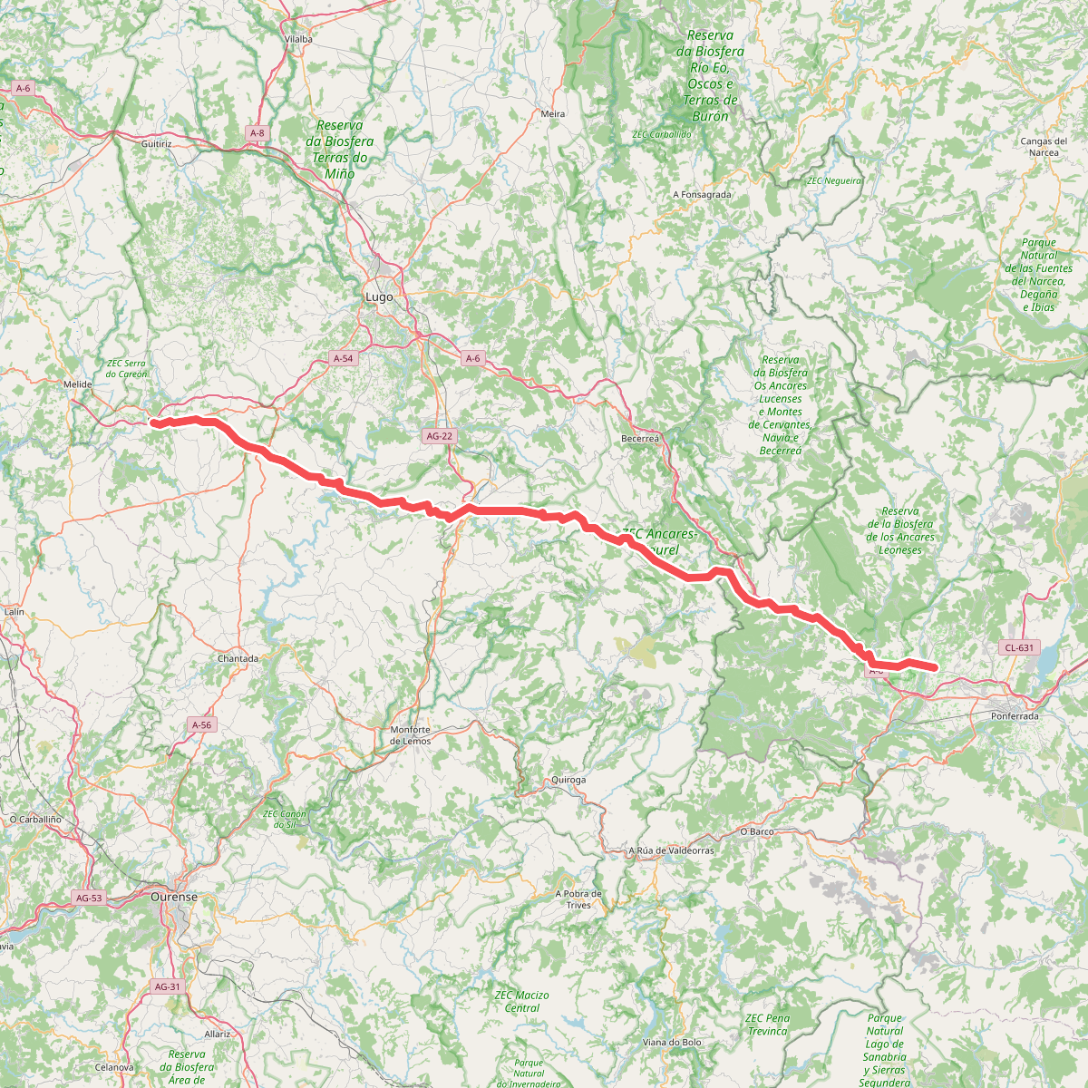
Discover the best walks in ZEC Monte Faro. 2 routes on the map, with descriptions, photos and GPX.
About ZEC Monte Faro
ZEC Monte Faro covers a high-altitude ridge system in Galicia, dominated by the prominent peak of Monte Faro. The landscape is characterized by a stark contrast between exposed, rocky granite crests and lower, sheltered slopes. Up on the ridges, the terrain consists of vast shrublands dominated by gorse and heather, which are shaped by the persistent wind. Lower down, the vegetation transitions into pockets of native deciduous oak woods and pine plantations, offering a more enclosed walking environment.
Read more
About ZEC Monte Faro
ZEC Monte Faro covers a high-altitude ridge system in Galicia, dominated by the prominent peak of Monte Faro. The landscape is characterized by a stark contrast between exposed, rocky granite crests and lower, sheltered slopes. Up on the ridges, the terrain consists of vast shrublands dominated by gorse and heather, which are shaped by the persistent wind. Lower down, the vegetation transitions into pockets of native deciduous oak woods and pine plantations, offering a more enclosed walking environment.
Read moreZEC Monte Faro covers a high-altitude ridge system in Galicia, dominated by the prominent peak of Monte Faro. The landscape is characterized by a stark contrast between exposed, rocky granite crests and lower, sheltered slopes. Up on the ridges, the terrain consists of vast shrublands dominated by gorse and heather, which are shaped by the persistent wind. Lower down, the vegetation transitions into pockets of native deciduous oak woods and pine plantations, offering a more enclosed walking environment.
Underfoot, walkers will mostly encounter rough, stony tracks and dirt paths that climb steeply up the hillsides. The main ridge is topped by a network of wind turbines and a historic chapel, meaning the highest points are accessible by gravel service roads rather than narrow wilderness trails. This mix of industrial wind infrastructure and traditional pilgrimage paths defines the visual character of the summit area, where the open ground allows for wide views of the surrounding Galician valleys.
This area is best suited for those seeking a steady, uphill walk through open, scrubby upland terrain rather than deep, continuous forest. The lack of dense tree cover on the upper slopes means there is little shelter from the elements, but the tracks are straightforward to navigate. While the summit area near the chapel sees local visitors during traditional pilgrimage dates in September, the surrounding hillside tracks generally remain quiet throughout the year.