


The best hiking routes in Amperauen
Discover the best walks in Amperauen. 10 routes on the map, with descriptions, photos and GPX.
About Amperauen
Amperauen offers a walking experience defined by the flat, grassy floodplains of the Amper river, where the landscape transitions between open meadows and dense alluvial woodland. Unlike drier upland forests, this area is shaped by water, featuring damp soils, oxbow lakes, and reed beds. Walkers will find a mix of wide, unpaved agricultural tracks and narrower, earth-bound paths that run close to the riverbanks. The terrain is entirely flat, lacking any significant elevation changes, which makes for straightforward, level walking throughout.
Read more
About Amperauen
Amperauen offers a walking experience defined by the flat, grassy floodplains of the Amper river, where the landscape transitions between open meadows and dense alluvial woodland. Unlike drier upland forests, this area is shaped by water, featuring damp soils, oxbow lakes, and reed beds. Walkers will find a mix of wide, unpaved agricultural tracks and narrower, earth-bound paths that run close to the riverbanks. The terrain is entirely flat, lacking any significant elevation changes, which makes for straightforward, level walking throughout.
Read moreAmperauen offers a walking experience defined by the flat, grassy floodplains of the Amper river, where the landscape transitions between open meadows and dense alluvial woodland. Unlike drier upland forests, this area is shaped by water, featuring damp soils, oxbow lakes, and reed beds. Walkers will find a mix of wide, unpaved agricultural tracks and narrower, earth-bound paths that run close to the riverbanks. The terrain is entirely flat, lacking any significant elevation changes, which makes for straightforward, level walking throughout.
As you follow the paths, the vegetation reveals how the river still influences the land. You will pass through damp alder and willow woods that thrive in the high water table, opening up into wide pastures used for low-intensity grazing. The underfoot conditions reflect this riverine character, alternating between soft dirt tracks that can become muddy and firmer gravel paths near the local hamlets. It is a working landscape where flood protection measures and natural river curves exist side by side.
This area is best suited for those who prefer quiet, pastoral scenery over dramatic terrain. While the paths near the main access points and bridges can attract local walkers, the deeper stretches along the river bends offer a more solitary experience. There are no boardwalks or signposted nature trails here, so visitors should expect a simple, self-guided walk along natural river margins and field edges.
Hiking routes in Amperauen (10)
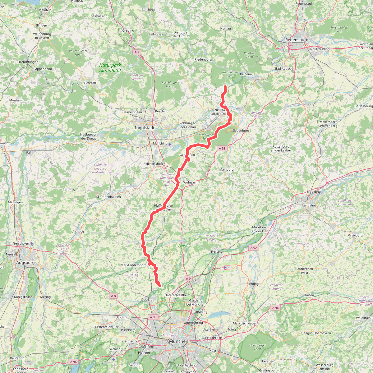
#1. Jakobsweg (Weltenburg - Scheyern - Dachau)
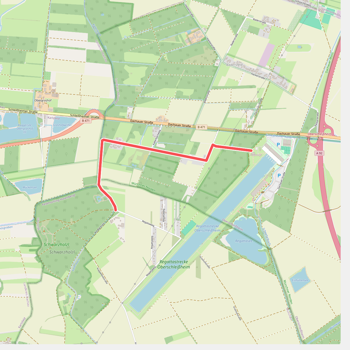
#2. Münchner Jakobskirchenweg - Alternative
Oberschleißheim
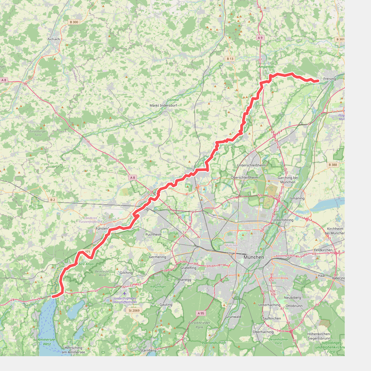
#3. Münchner Jakobsweg (Zubringer Vötting - Ammersee)

#4. MVV Wanderweg Dreieck Dachau Olching
Olching,Bergkirchen,Dachau

#5. MVV Wanderweg Dreieck Schleißheim
Oberschleißheim,Unterschleißheim,Haimhausen

#6. MVV Wanderweg Punkt
Dachau,Hebertshausen

#7. MVV Wanderweg Raute Oberschleißheim
Oberschleißheim,Unterschleißheim

#8. MVV Wanderweg Ring
Röhrmoos,Hebertshausen,Dachau

#9. Wanderweg 1
Olching,Bergkirchen

#10. Wanderweg 2
Dachau,Bergkirchen




