


The best hiking routes in Buchberg
Discover the best walks in Buchberg. 13 routes on the map, with descriptions, photos and GPX.
About Buchberg
Buchberg offers a distinct walking landscape shaped by its sandstone geology and dense beech forests. Unlike the flatter river valleys nearby, this area features a prominent, wooded hill that rises gently above the surrounding countryside. Walkers will notice the transition from the damp, shaded forest floor of the lower slopes to the drier, wind-exposed crest where the soil becomes thin and sandy. The terrain is characterized by these gradual elevation changes rather than dramatic cliffs or deep gorges.
Read more
About Buchberg
Buchberg offers a distinct walking landscape shaped by its sandstone geology and dense beech forests. Unlike the flatter river valleys nearby, this area features a prominent, wooded hill that rises gently above the surrounding countryside. Walkers will notice the transition from the damp, shaded forest floor of the lower slopes to the drier, wind-exposed crest where the soil becomes thin and sandy. The terrain is characterized by these gradual elevation changes rather than dramatic cliffs or deep gorges.
Read moreBuchberg offers a distinct walking landscape shaped by its sandstone geology and dense beech forests. Unlike the flatter river valleys nearby, this area features a prominent, wooded hill that rises gently above the surrounding countryside. Walkers will notice the transition from the damp, shaded forest floor of the lower slopes to the drier, wind-exposed crest where the soil becomes thin and sandy. The terrain is characterized by these gradual elevation changes rather than dramatic cliffs or deep gorges.
Underfoot, the paths vary from wide, hard-packed forestry tracks to narrow, root-crossed earthen trails that require careful stepping. In the autumn months of October and November, the thick canopy drops a heavy layer of leaves that covers these paths, altering the traction and obscuring the underlying stones. The forest structure itself tells the story of active timber management, with even rows of older beech trees standing alongside patches of younger, denser regrowth.
This area is suited for those seeking a straightforward woodland walk without the rugged challenges of mountainous terrain. The main trails are easy to follow, though the lack of extensive signposting means keeping track of the path intersections is useful. While the summit area attracts more visitors on weekends, the side trails winding through the deeper stands of beech remain considerably quieter throughout the week.
Hiking routes in Buchberg (13)

#1. Berngauer Buchbergweg
Berngau,Neumarkt in der Oberpfalz

#2. Berngauer Nordschlaufe
Neumarkt in der Oberpfalz,Berngau

#3. Berngauer Südschlaufe
Berngau,Sengenthal
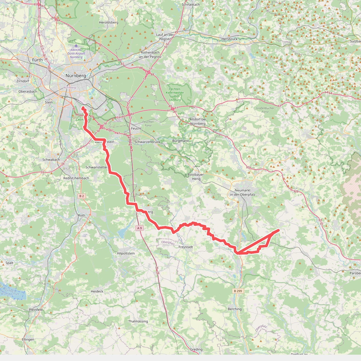
#4. Deininger Weg
Nürnberg,Forst Kleinschwarzenlohe,Wendelstein,Schwanstetten,Roth,Allersberg,Freystadt,Berngau,Sengenthal,Mühlhausen,Deining

#5. Höhenberg - Berching · Frankenweg etappe 18
Neumarkt in der Oberpfalz,Deining,Sengenthal,Berching

#6. Fuchsweg
Neumarkt in der Oberpfalz

#7. Glasberg – Murlach
Sengenthal

#8. Judenweg
Mühlhausen,Sengenthal,Neumarkt in der Oberpfalz

#9. Keltenweg
Neumarkt in der Oberpfalz
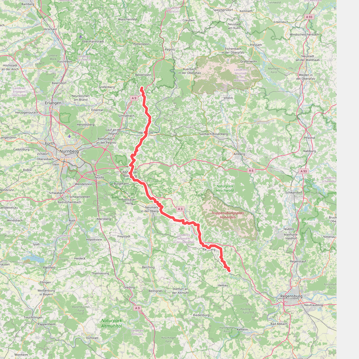
#10. Main-Donau-Weg (Jura-Linie) Teil 2

#11. Ringweg
Neumarkt in der Oberpfalz,Sengenthal
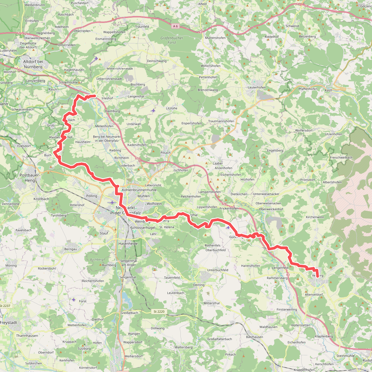
#12. Velburger Weg
Berg b.Neumarkt i.d.OPf.,Postbauer-Heng,Neumarkt in der Oberpfalz,Deining,Velburg




