


The best hiking routes in Bundorfer Wald und Quellbäche der Baunach
Discover the best walks in Bundorfer Wald und Quellbäche der Baunach. 11 routes on the map, with descriptions, photos and GPX.
About Bundorfer Wald und Quellbäche der Baunach
Bundorfer Wald und Quellbäche der Baunach offers a quiet, densely forested landscape in Lower Franconia, defined by its gently rolling sandstone hills and the damp valleys of the upper Baunach stream system. Unlike the open, agricultural plains nearby, this area is dominated by extensive mixed beech and oak forests, interspersed with commercial spruce stands. Walkers should expect a landscape of subtle transitions rather than dramatic vistas, where the main interest lies in the contrast between the dry, sandy forest tracks on the ridges and the soft, damp ground of the unpaved paths running alongside the small headwater streams.
Read more
About Bundorfer Wald und Quellbäche der Baunach
Bundorfer Wald und Quellbäche der Baunach offers a quiet, densely forested landscape in Lower Franconia, defined by its gently rolling sandstone hills and the damp valleys of the upper Baunach stream system. Unlike the open, agricultural plains nearby, this area is dominated by extensive mixed beech and oak forests, interspersed with commercial spruce stands. Walkers should expect a landscape of subtle transitions rather than dramatic vistas, where the main interest lies in the contrast between the dry, sandy forest tracks on the ridges and the soft, damp ground of the unpaved paths running alongside the small headwater streams.
Read moreBundorfer Wald und Quellbäche der Baunach offers a quiet, densely forested landscape in Lower Franconia, defined by its gently rolling sandstone hills and the damp valleys of the upper Baunach stream system. Unlike the open, agricultural plains nearby, this area is dominated by extensive mixed beech and oak forests, interspersed with commercial spruce stands. Walkers should expect a landscape of subtle transitions rather than dramatic vistas, where the main interest lies in the contrast between the dry, sandy forest tracks on the ridges and the soft, damp ground of the unpaved paths running alongside the small headwater streams.
Underfoot, the terrain consists mostly of wide forestry tracks made of packed gravel or natural earth, which can become soft and muddy near the watercourses. The valley bottoms are characterized by wet meadows, alder carrs, and small boggy patches where the springs emerge. You will notice how the vegetation shifts abruptly from dry blueberry scrub under the pines on the higher slopes to moisture-loving ferns and mosses as soon as the path drops down toward the stream beds.
This area is best suited for those who prefer quiet forest walking over panoramic views. There are no steep climbs or rocky scrambles here. Instead, the network of paths allows for long, steady loops through the trees, where the sound of flowing water is a constant companion in the valleys. Late spring, particularly May, is a notable time to visit, as the fresh green leaves of the beech canopy open and the marsh marigolds bloom along the wet banks of the Baunach tributaries.
Hiking routes in Bundorfer Wald und Quellbäche der Baunach (11)

#1. Auf Jägerpfaden zur Schwedenschanze
Hofheim in Unterfranken,Bundorf,Aidhausen
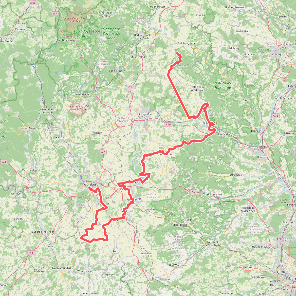
#2. Fränkischer Marienweg Route 3
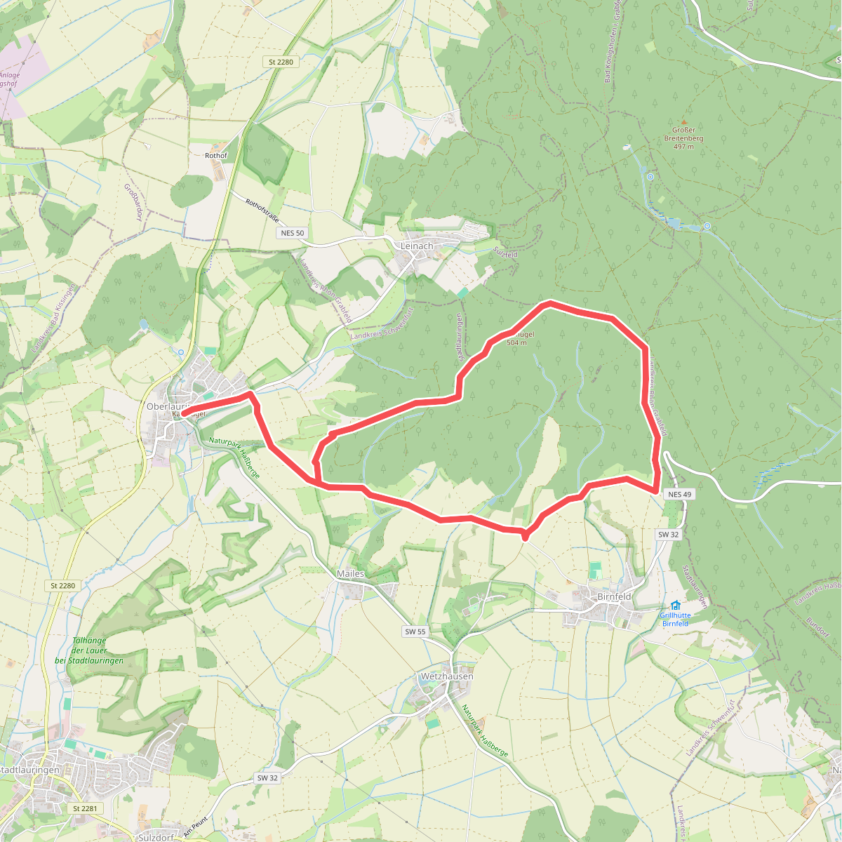
#3. Geologieweg Stadtlauringen
Stadtlauringen,Sulzfelder Forst

#4. Lauftour AID2
Aidhausen,Hofheim in Unterfranken

#5. Lauftour BUN1
Bundorf

#6. Lauftour HOH2
Hofheim in Unterfranken,Aidhausen,Bundorf
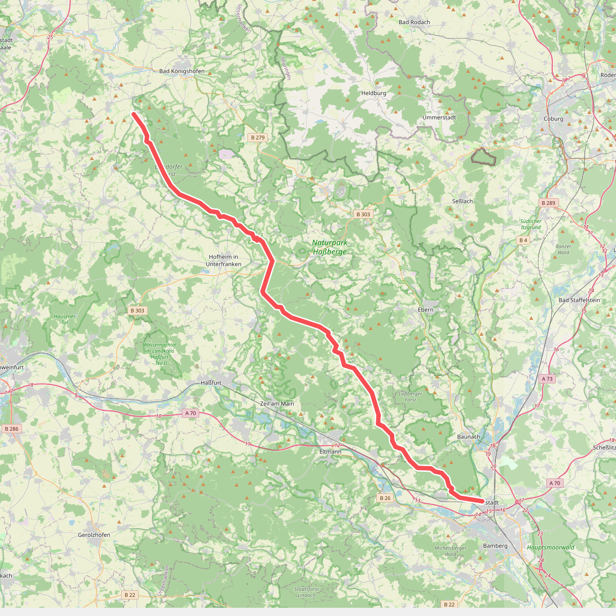
#7. Rennweg Haßberge
Hallstadt,Oberhaid,Lauter,Stettfeld,Ebelsbach,Breitbrunn,Kirchlauter,Königsberg in Bayern,Ebern,Hofheim in Unterfranken,Bundorf,Bundorfer Forst,Sulzfelder Forst,Sulzfeld

#8. Rundwanderweg Hase
Aidhausen,Hofheim in Unterfranken

#9. Rundwanderweg Reh
Hofheim in Unterfranken
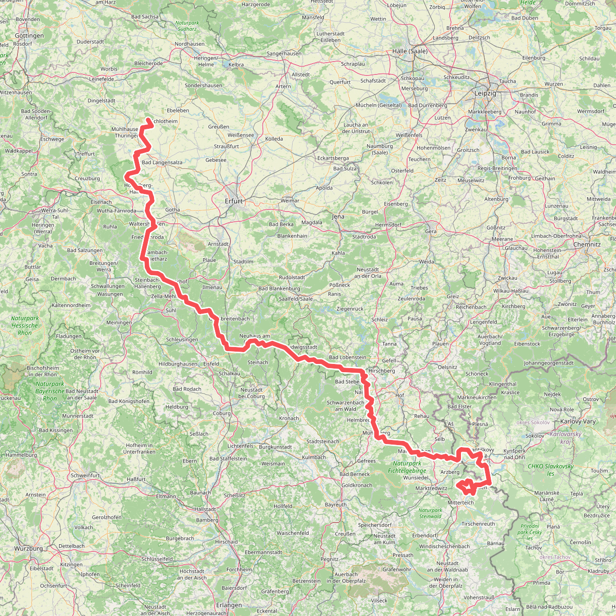
#10. Via Porta
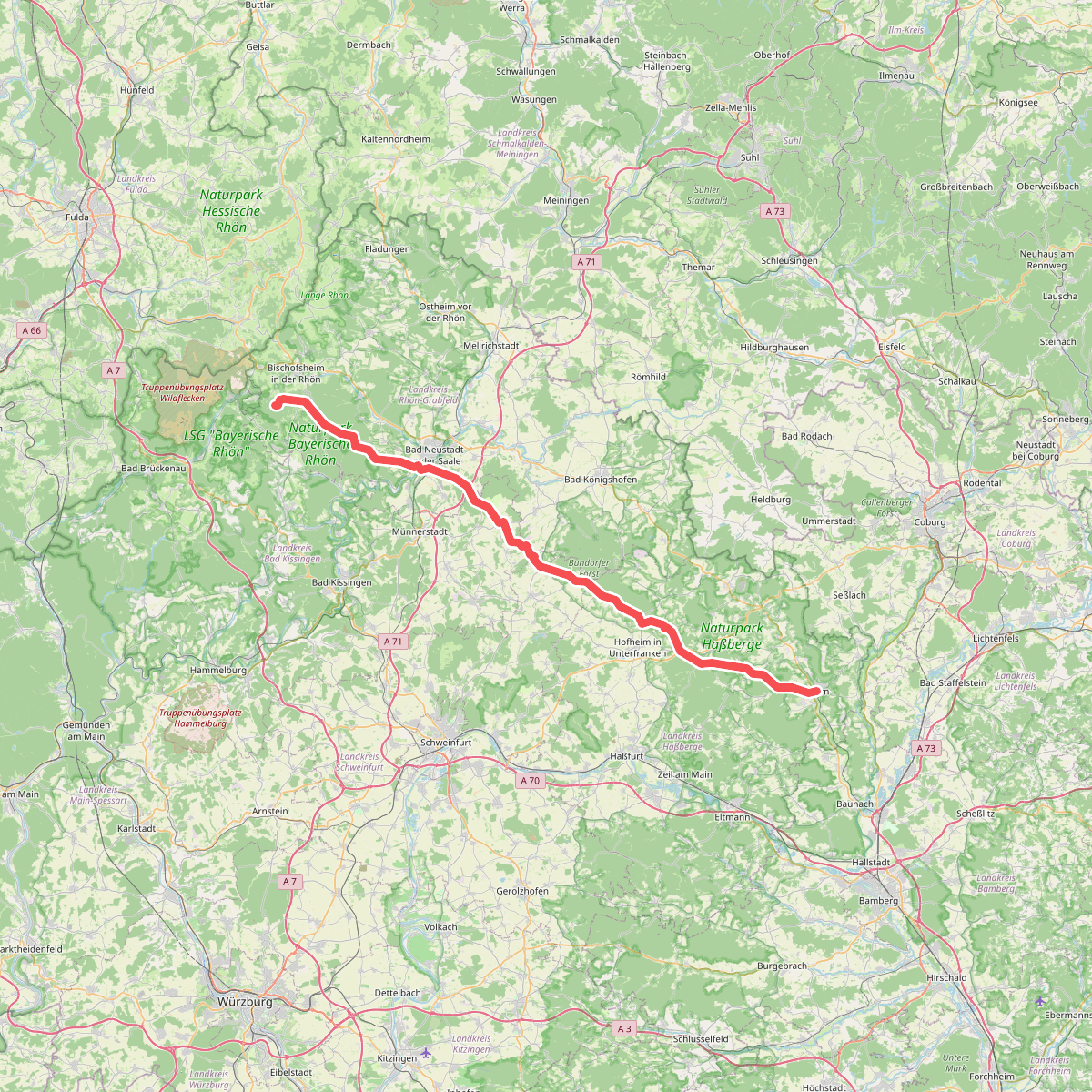
#11. Wallfahrtsweg Ebern Kreuzberg
Ebern,Burgpreppach,Hofheim in Unterfranken,Aidhausen,Bundorfer Forst,Stadtlauringen,Thundorf in Unterfranken,Münnerstadt,Strahlungen,Bad Neustadt an der Saale,Salz,Hohenroth,Steinacher Forst rechts der Saale,Burgwallbacher Forst,Forst Schmalwasser-Süd,Bischofsheim in der Rhön




