


The best hiking routes in De Deelen
Discover the best walks in De Deelen. 10 routes on the map, with descriptions, photos and GPX.
Managed by Staatsbosbeheer

About De Deelen
De Deelen is a low-peat nature reserve shaped entirely by historical peat cutting. Unlike the dry sandy forests of the wider region, this landscape is a labyrinth of rectangular ponds, narrow strips of land where peat was laid out to dry, and reed beds. The area is flat and watery, offering no high vantage points or dry woodland trails. Instead, walkers navigate a damp, low-lying basin where water is the defining element.
Read more
About De Deelen
De Deelen is a low-peat nature reserve shaped entirely by historical peat cutting. Unlike the dry sandy forests of the wider region, this landscape is a labyrinth of rectangular ponds, narrow strips of land where peat was laid out to dry, and reed beds. The area is flat and watery, offering no high vantage points or dry woodland trails. Instead, walkers navigate a damp, low-lying basin where water is the defining element.
Read moreDe Deelen is a low-peat nature reserve shaped entirely by historical peat cutting. Unlike the dry sandy forests of the wider region, this landscape is a labyrinth of rectangular ponds, narrow strips of land where peat was laid out to dry, and reed beds. The area is flat and watery, offering no high vantage points or dry woodland trails. Instead, walkers navigate a damp, low-lying basin where water is the defining element.
Underfoot, the terrain consists of narrow grassy dikes, unpaved paths, and wooden boardwalks that cross the open water. These boardwalks are essential for accessing the heart of the marsh, where you walk directly above the peat bog. The paths can be uneven and soft, requiring careful stepping compared to the wide, hard-packed clay tracks found in agricultural areas nearby.
In late spring, particularly around May, the reserve is dominated by the white tufts of cottongrass and the active nesting of marshland birds. Because the dry strips of land are narrow, walkers are funnelled along specific routes, meaning you will often look directly into the reed beds and across the still water of the old peat pits.
Hiking routes in De Deelen (10)


#1. Wandelroute De Deelen (rood)
Tjalleberd,Aldeboarn
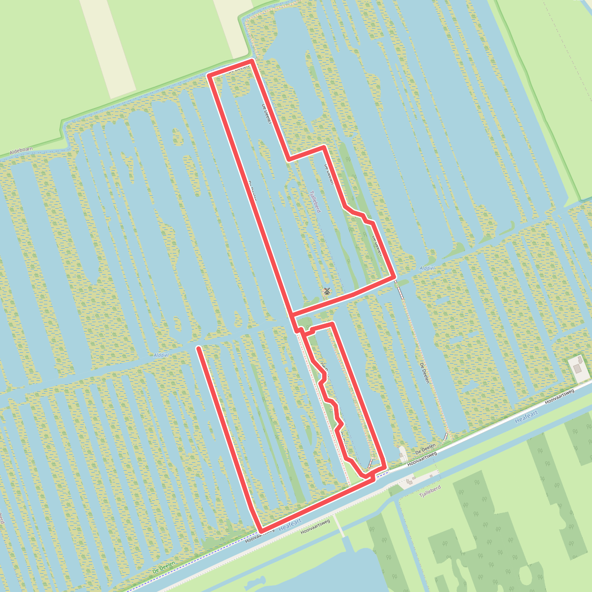
#2. De Deelen
Tjalleberd petgaten en vlonderpaden
Tjalleberd

#3. Heerenveen - Aldeboarn · Koningspad XL etappe 12
Aldeboarn,Tjalleberd,Gersloot,Luxwoude,Terband,Heerenveen

#4. Heerenveen - Sneek
Heerenveen,Oudehaske,Haskerhorne,Joure,Broek,Oppenhuizen,Sneek

#5. Natuurlijk Aldeboarn | Wandelroute
Aldeboarn,Tjalleberd,Terband,Haskerdijken,Vegelinsoord

#6. Terband - Heerenveen · Bonifatius Kloosterpad etappe 11
Heerenveen,Nieuwebrug,Haskerdijken,Terband,Vegelinsoord

#7. Tijnje - Akkrum · Koningspad XL etappe 5
Akkrum,Nes,Aldeboarn,Tjalleberd,Gersloot,Tijnje


#8. Wandelen door It Lege Midden
Aldeboarn,Nij Beets,Tijnje,Gersloot,Tjalleberd

#9. Wandelroute De Deelen (blauw)
Tjalleberd

#10. Wolvega-Akkrum · Liberation route etappe 1
Akkrum,Nes,Aldeboarn,Haskerdijken,Vegelinsoord,Terband,Heerenveen,Oranjewoud,Mildam,Ter Idzard,Nijeholtwolde,Wolvega,Oldeholtpade




