The best hiking routes in Dobelgebiet und Atteltal
Discover the best walks in Dobelgebiet und Atteltal. 1 routes on the map, with descriptions, photos and GPX.
About Dobelgebiet und Atteltal
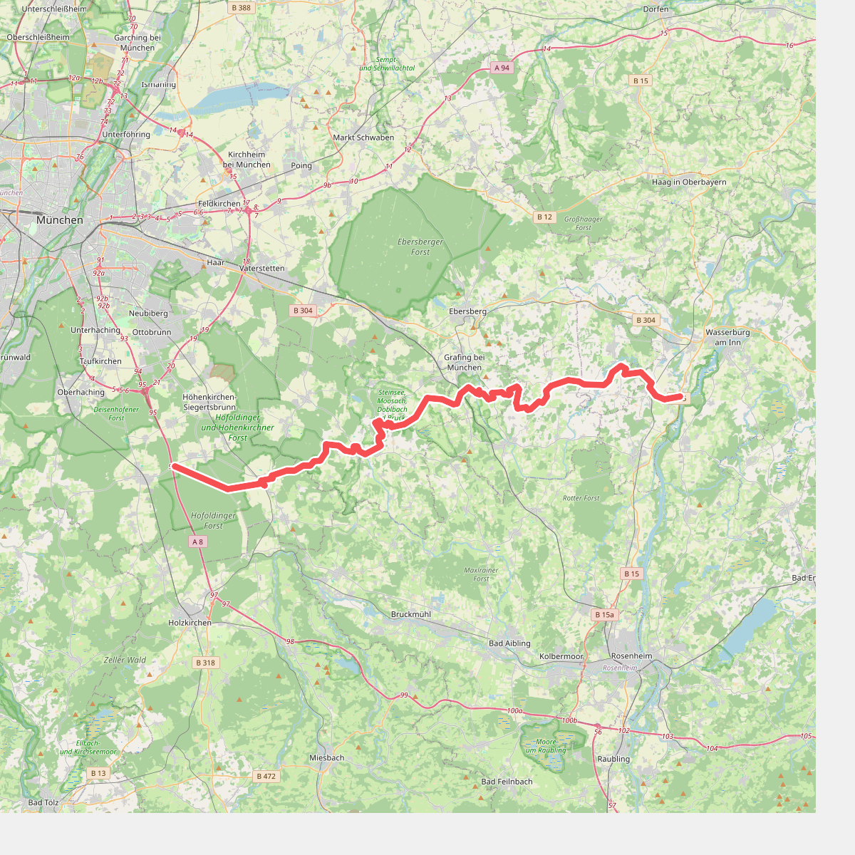
The Dobelgebiet und Atteltal offers a distinct contrast between the damp, low-lying meadows of the Attel river valley and the forested slopes of the Dobelgebiet. Walking here means navigating two distinct environments. In the valley bottom, the paths follow the slow curves of the river, where the ground consists of heavy alluvial clay and damp grass. Up on the slopes, the terrain transitions into managed mixed woodland with firmer, gravel-strewn forestry tracks. This is not a region of dramatic gorges or high peaks, but rather a quiet, working landscape of forestry and agriculture.
Read more
About Dobelgebiet und Atteltal
The Dobelgebiet und Atteltal offers a distinct contrast between the damp, low-lying meadows of the Attel river valley and the forested slopes of the Dobelgebiet. Walking here means navigating two distinct environments. In the valley bottom, the paths follow the slow curves of the river, where the ground consists of heavy alluvial clay and damp grass. Up on the slopes, the terrain transitions into managed mixed woodland with firmer, gravel-strewn forestry tracks. This is not a region of dramatic gorges or high peaks, but rather a quiet, working landscape of forestry and agriculture.
Read moreThe Dobelgebiet und Atteltal offers a distinct contrast between the damp, low-lying meadows of the Attel river valley and the forested slopes of the Dobelgebiet. Walking here means navigating two distinct environments. In the valley bottom, the paths follow the slow curves of the river, where the ground consists of heavy alluvial clay and damp grass. Up on the slopes, the terrain transitions into managed mixed woodland with firmer, gravel-strewn forestry tracks. This is not a region of dramatic gorges or high peaks, but rather a quiet, working landscape of forestry and agriculture.
Underfoot, you will mostly encounter wide dirt tracks and grassy field paths. The valley section is prone to standing water after periods of high river flow, making sturdy footwear essential for the clay paths. In contrast, the woodland tracks of the Dobelgebiet remain relatively stable, though they are frequently used by forestry vehicles. The area is generally quiet, with most local walkers sticking to the marked paths near the valley edges.
In late spring, usually around May, the Attel meadows are characterized by tall, uncut grasses and wildflowers before the first hay harvest. The transition from the open, bright river plain into the dense canopy of the spruce and beech woods on the hillsides is sudden, offering a quick shift from wide views of farmland to enclosed forest paths within a short distance.