


The best hiking routes in Exmoor National Park
Discover the best walks in Exmoor National Park. 3 routes on the map, with descriptions, photos and GPX.
About Exmoor National Park
Exmoor National Park is defined by its high, open moorland plateau that drops abruptly into steep, wooded river valleys. Unlike the rocky peaks of northern Britain, this landscape consists of gently rolling hills covered in purple heather and yellow gorse, which color the landscape from August into September. The high ground is dominated by wet, spongy peat and rough grasses, where walkers must navigate boggy patches, while the deep cut valleys, or cleaves, offer sheltered paths under ancient oak canopies.
Read more
About Exmoor National Park
Exmoor National Park is defined by its high, open moorland plateau that drops abruptly into steep, wooded river valleys. Unlike the rocky peaks of northern Britain, this landscape consists of gently rolling hills covered in purple heather and yellow gorse, which color the landscape from August into September. The high ground is dominated by wet, spongy peat and rough grasses, where walkers must navigate boggy patches, while the deep cut valleys, or cleaves, offer sheltered paths under ancient oak canopies.
Read moreExmoor National Park is defined by its high, open moorland plateau that drops abruptly into steep, wooded river valleys. Unlike the rocky peaks of northern Britain, this landscape consists of gently rolling hills covered in purple heather and yellow gorse, which color the landscape from August into September. The high ground is dominated by wet, spongy peat and rough grasses, where walkers must navigate boggy patches, while the deep cut valleys, or cleaves, offer sheltered paths under ancient oak canopies.
Underfoot, the terrain varies significantly between the high commons and the valleys. On the open moor, such as around Chains Barrow, paths are often faint, grassy tracks that require careful navigation and sturdy boots to handle the damp, peaty soil. In contrast, the wooded valleys of the East Lyn River or Horner Woods feature well-defined, stony paths and occasional wooden footbridges, though exposed tree roots and damp slate can be slippery.
This landscape is shaped by centuries of grazing and traditional hill farming, which keeps the moorland open and prevents scrub from taking over. Walkers will share the grassy tracks with free-roaming Exmoor ponies and red deer. While popular spots like Tarr Steps and Dulverton attract more visitors, the wider moorland tracks remain quiet, offering straightforward walking across a terrain of heather, gorse, and fast-flowing streams.
Hiking routes in Exmoor National Park (3)
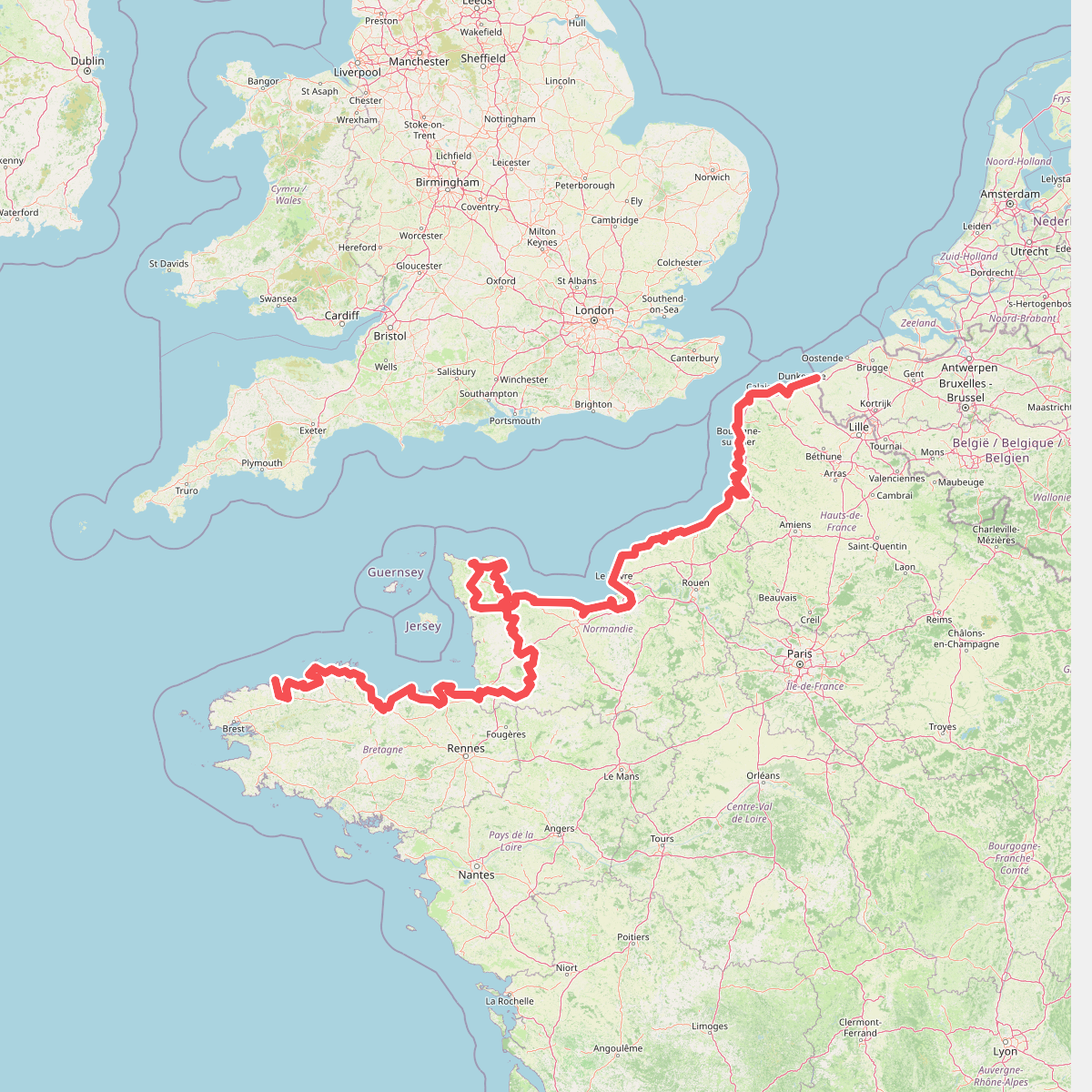
#1. Eurovelo 4
Roscoff,Saint-Pol-de-Léon,Plouénan,Taulé,Saint-Martin-des-Champs,Morlaix,Plouezoc'h,Plougasnou,Saint-Jean-du-Doigt,Guimaëc,Locquirec,Plestin-les-Grèves,Saint-Michel-en-Grève,Ploumilliau,Ploubezre,Lannion,Trébeurden,Pleumeur-Bodou,Trégastel,Perros-Guirec,Louannec,Camlez,Penvénan,Plouguiel,Trédarzec,Pleumeur-Gautier,Lézardrieux,Paimpol,Plouézec,Plouha,Tréveneuc,Binic-Étables-sur-Mer,Pordic,Plérin,Saint-Brieuc,Langueux,Hillion,Lamballe-Armor,Pléneuf-Val-André,Erquy,Fréhel,Plévenon,Pléboulle,Matignon,Saint-Cast-le-Guildo,Beaussais-sur-Mer,Tréméreuc,Plouër-sur-Rance,Saint-Suliac,Saint-Père-Marc-en-Poulet,Saint-Malo,Saint-Coulomb,Cancale,Saint-Méloir-des-Ondes,Hirel,Cherrueix,France métropolitaine,Roz-sur-Couesnon,Pontorson,Courtils,Céaux,Poilley,Ducey-les-Chéris,Isigny-le-Buat,Grandparigny,Romagny Fontenay,Saint-Clément-Rancoudray,Sourdeval,Vire Normandie,Souleuvre-en-Bocage,Pont-Bellanger,Tessy-Bocage,Fourneaux,Condé-sur-Vire,Bourgvallées,Saint-Lô,Agneaux,Pont-Hébert,Airel

#2. King Charles III England Coast Path: Brean Down to Minehead





