The best hiking routes in Graßlfinger Moos und Olchinger See
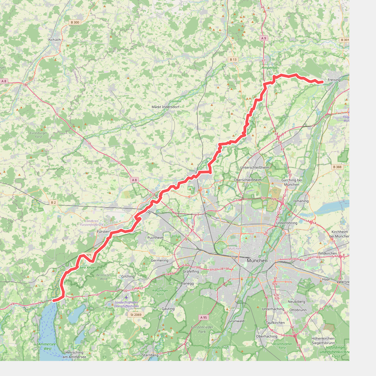
Discover the best walks in Graßlfinger Moos und Olchinger See. 2 routes on the map, with descriptions, photos and GPX.
About Graßlfinger Moos und Olchinger See
Graßlfinger Moos und Olchinger See offers a contrast between a flat, damp fenland landscape and a deep gravel-pit lake. The eastern section consists of the Graßlfinger Moos, a drained peatland where straight drainage ditches, birch stands, and small agricultural plots dominate the view. Walking here means following wide, unpaved agricultural tracks and grassy paths that run alongside these drainage channels, showing how the original wetland was systematically structured for farming.
Read more
About Graßlfinger Moos und Olchinger See
Graßlfinger Moos und Olchinger See offers a contrast between a flat, damp fenland landscape and a deep gravel-pit lake. The eastern section consists of the Graßlfinger Moos, a drained peatland where straight drainage ditches, birch stands, and small agricultural plots dominate the view. Walking here means following wide, unpaved agricultural tracks and grassy paths that run alongside these drainage channels, showing how the original wetland was systematically structured for farming.
Read moreGraßlfinger Moos und Olchinger See offers a contrast between a flat, damp fenland landscape and a deep gravel-pit lake. The eastern section consists of the Graßlfinger Moos, a drained peatland where straight drainage ditches, birch stands, and small agricultural plots dominate the view. Walking here means following wide, unpaved agricultural tracks and grassy paths that run alongside these drainage channels, showing how the original wetland was systematically structured for farming.
In contrast, the Olchinger See to the west is a artificial lake created by gravel extraction. A flat, circular gravel path runs around the water, which is bordered by managed lawns, mature deciduous trees, and swimming areas. While the fenland paths are often quieter and feel more agricultural, the lake circuit is a popular local recreation spot where you will share the path with walkers and cyclists.
This area is entirely flat, lacking any natural hills or deep valleys. Underfoot, you will find a mix of packed gravel around the lake and dirt or grass tracks through the fen. In late autumn, the bare birch trees in the Moos reveal the wide, open drainage network, while in July the lake area is dominated by recreational swimmers.