


The best hiking routes in Grunewald
Discover the best walks in Grunewald. 12 routes on the map, with descriptions, photos and GPX.
About Grunewald
Grunewald is a vast, forested lowland tract in western Berlin, characterized by a mix of dry pine woods, sandy glacial tracks, and damp depressions. Unlike the manicured city parks nearby, this area features a rolling topography shaped by the last ice age, where high sandy ridges drop down into boggy hollows and lake chains. Underfoot, walkers will mostly encounter soft sand that can make uphill stretches feel surprisingly heavy, interspersed with firmer dirt paths and occasional boardwalks over the wettest peat soils.
Read more
About Grunewald
Grunewald is a vast, forested lowland tract in western Berlin, characterized by a mix of dry pine woods, sandy glacial tracks, and damp depressions. Unlike the manicured city parks nearby, this area features a rolling topography shaped by the last ice age, where high sandy ridges drop down into boggy hollows and lake chains. Underfoot, walkers will mostly encounter soft sand that can make uphill stretches feel surprisingly heavy, interspersed with firmer dirt paths and occasional boardwalks over the wettest peat soils.
Read moreGrunewald is a vast, forested lowland tract in western Berlin, characterized by a mix of dry pine woods, sandy glacial tracks, and damp depressions. Unlike the manicured city parks nearby, this area features a rolling topography shaped by the last ice age, where high sandy ridges drop down into boggy hollows and lake chains. Underfoot, walkers will mostly encounter soft sand that can make uphill stretches feel surprisingly heavy, interspersed with firmer dirt paths and occasional boardwalks over the wettest peat soils.
The forest changes character depending on your choice of path. The central and eastern sections are dominated by tall, straight Scots pines growing out of dry, acidic soil, where the ground is carpeted with pine needles and low blueberry bushes. In contrast, the western edge runs along the Havel river, where the landscape transitions into damp oak and birch woodland, with reed beds lining the water. Walkers looking for open views should head toward the sandy slopes of the Pechsee or the gravel paths around the Schlachtensee, while those seeking dense canopy will find it in the quieter interior compartments.
This is a working, managed forest with a long forestry history, which is obvious from the straight rows of older pine plantings and the active timber management zones. It is not a wilderness of deep valleys or rocky peaks, but rather a gently undulating woodland where the sounds of the surrounding city occasionally drift through the trees. The lakeside trails and the paths near S-Bahn stations are popular with local walkers and dog owners, but the deeper, sandy interior tracks remain much quieter.
Hiking routes in Grunewald (12)

#1. 66-Seen-Wanderweg

#2. Berlin. Wald. Klima.

#3. Europäischer Fernwanderweg E11, Berlin

#4. Havelhöhenweg

#5. Havelseenweg

#6. Innerer Parkring

#7. JW Berlin - Leipzig Segment Teltow - Beelitz
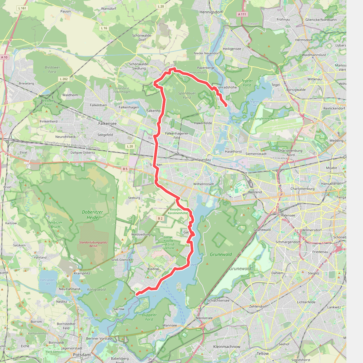
#8. Spandauer Weg

#9. Spreeweg

#10. Teltower Dörferweg

#11. Teltowkanalweg





