The best hiking routes in Gwarchodfa Natur Genedlaethol Yr Wyddfa
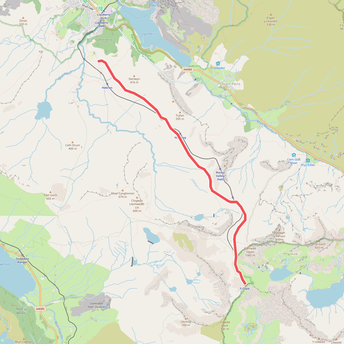
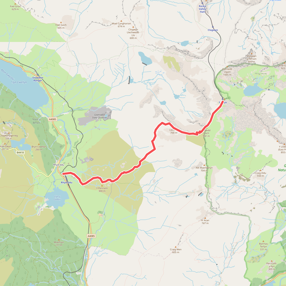
Discover the best walks in Gwarchodfa Natur Genedlaethol Yr Wyddfa. 2 routes on the map, with descriptions, photos and GPX.
About Gwarchodfa Natur Genedlaethol Yr Wyddfa
Gwarchodfa Natur Genedlaethol Yr Wyddfa covers the high-altitude volcanic peaks and steep-sided ridges of the Snowdon massif. Unlike the lower, grassy hills of the surrounding region, this reserve is defined by exposed, dark basalt and rhyolite cliffs, deep glacial cwms, and acidic mountain soils. Walkers will find a stark contrast between the hard, rocky steps of the popular eastern ascents and the boggy, peat-covered slopes of the western flanks, where wet heath and mosses dominate the waterlogged ground.
Read more
About Gwarchodfa Natur Genedlaethol Yr Wyddfa
Gwarchodfa Natur Genedlaethol Yr Wyddfa covers the high-altitude volcanic peaks and steep-sided ridges of the Snowdon massif. Unlike the lower, grassy hills of the surrounding region, this reserve is defined by exposed, dark basalt and rhyolite cliffs, deep glacial cwms, and acidic mountain soils. Walkers will find a stark contrast between the hard, rocky steps of the popular eastern ascents and the boggy, peat-covered slopes of the western flanks, where wet heath and mosses dominate the waterlogged ground.
Read moreGwarchodfa Natur Genedlaethol Yr Wyddfa covers the high-altitude volcanic peaks and steep-sided ridges of the Snowdon massif. Unlike the lower, grassy hills of the surrounding region, this reserve is defined by exposed, dark basalt and rhyolite cliffs, deep glacial cwms, and acidic mountain soils. Walkers will find a stark contrast between the hard, rocky steps of the popular eastern ascents and the boggy, peat-covered slopes of the western flanks, where wet heath and mosses dominate the waterlogged ground.
Underfoot, the terrain varies from wide, gravelled tracks and stone pitched steps to loose, sliding scree and wet clay. The lower valleys feature damp pastures and oak woodlands, which quickly give way to dwarf shrub heaths and bare rock as you climb. In June, the steep cliffs of the north-facing cwms host rare arctic-alpine plants, which survive in the damp, shaded crevices where sheep cannot graze. This is a mountain landscape shaped by heavy glaciation, visible in the sharp ridges and the deep, dark tarns that sit in the hollows.
This reserve is not a place for gentle, rolling woodland strolls or flat coastal walking. The paths are steep, often requiring careful foot placement over rough boulders, and the higher ridges demand a steady head for heights. While the main paths leading to the summit are heavily walked and clearly defined, the quieter descent routes through the lower cwms offer a much rougher, less managed experience where the path can easily be lost in the peat bogs.