


The best hiking routes in Haßbergetrauf von Königsberg bis Stadtlauringen
Discover the best walks in Haßbergetrauf von Königsberg bis Stadtlauringen. 22 routes on the map, with descriptions, photos and GPX.
About Haßbergetrauf von Königsberg bis Stadtlauringen
The Haßbergetrauf von Königsberg bis Stadtlauringen covers a distinct, southwest-facing escarpment where the forested hills of the Haßberge drop down toward the flatter, agricultural Keuper plains. Unlike the dense, continuous forests deeper in the hills, this narrow strip of land is defined by a transition zone. Walkers will find a mixture of dry, open limestone grasslands on the steeper slopes, small orchards, and patches of mixed deciduous woodland dominated by beech and oak.
Read more
About Haßbergetrauf von Königsberg bis Stadtlauringen
The Haßbergetrauf von Königsberg bis Stadtlauringen covers a distinct, southwest-facing escarpment where the forested hills of the Haßberge drop down toward the flatter, agricultural Keuper plains. Unlike the dense, continuous forests deeper in the hills, this narrow strip of land is defined by a transition zone. Walkers will find a mixture of dry, open limestone grasslands on the steeper slopes, small orchards, and patches of mixed deciduous woodland dominated by beech and oak.
Read moreThe Haßbergetrauf von Königsberg bis Stadtlauringen covers a distinct, southwest-facing escarpment where the forested hills of the Haßberge drop down toward the flatter, agricultural Keuper plains. Unlike the dense, continuous forests deeper in the hills, this narrow strip of land is defined by a transition zone. Walkers will find a mixture of dry, open limestone grasslands on the steeper slopes, small orchards, and patches of mixed deciduous woodland dominated by beech and oak.
Underfoot, the paths vary from soft, needle-strewn forest tracks along the upper ridge to firmer, clay-heavy dirt roads through the fields and vineyards lower down. The terrain is gently rolling rather than steep, characterized by constant minor elevation changes as the trails follow the contour of the slope. Because of the limestone geology, water drains quickly, meaning there are few streams or wet bogs along the paths, though the clay sections can become sticky.
In late April and May, the open slopes are notable for their early wildflowers, which thrive in the thin, sun-exposed soils before the summer heat. This area lacks dramatic gorges or high mountain summits, offering instead a quiet, rural landscape where the main appeal is observing how farming and forestry adapt to the natural edge of the escarpment.
Hiking routes in Haßbergetrauf von Königsberg bis Stadtlauringen (22)
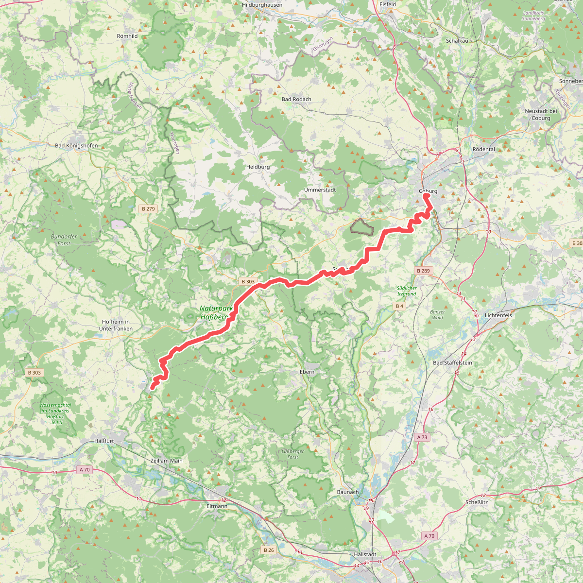
#1. Amtsbotenweg
Coburg,Ahorn,Seßlach,Großheirath,Maroldsweisach,Pfarrweisach,Burgpreppach,Ebern,Königsberg in Bayern

#2. Auf Jägerpfaden zur Schwedenschanze
Hofheim in Unterfranken,Bundorf,Aidhausen
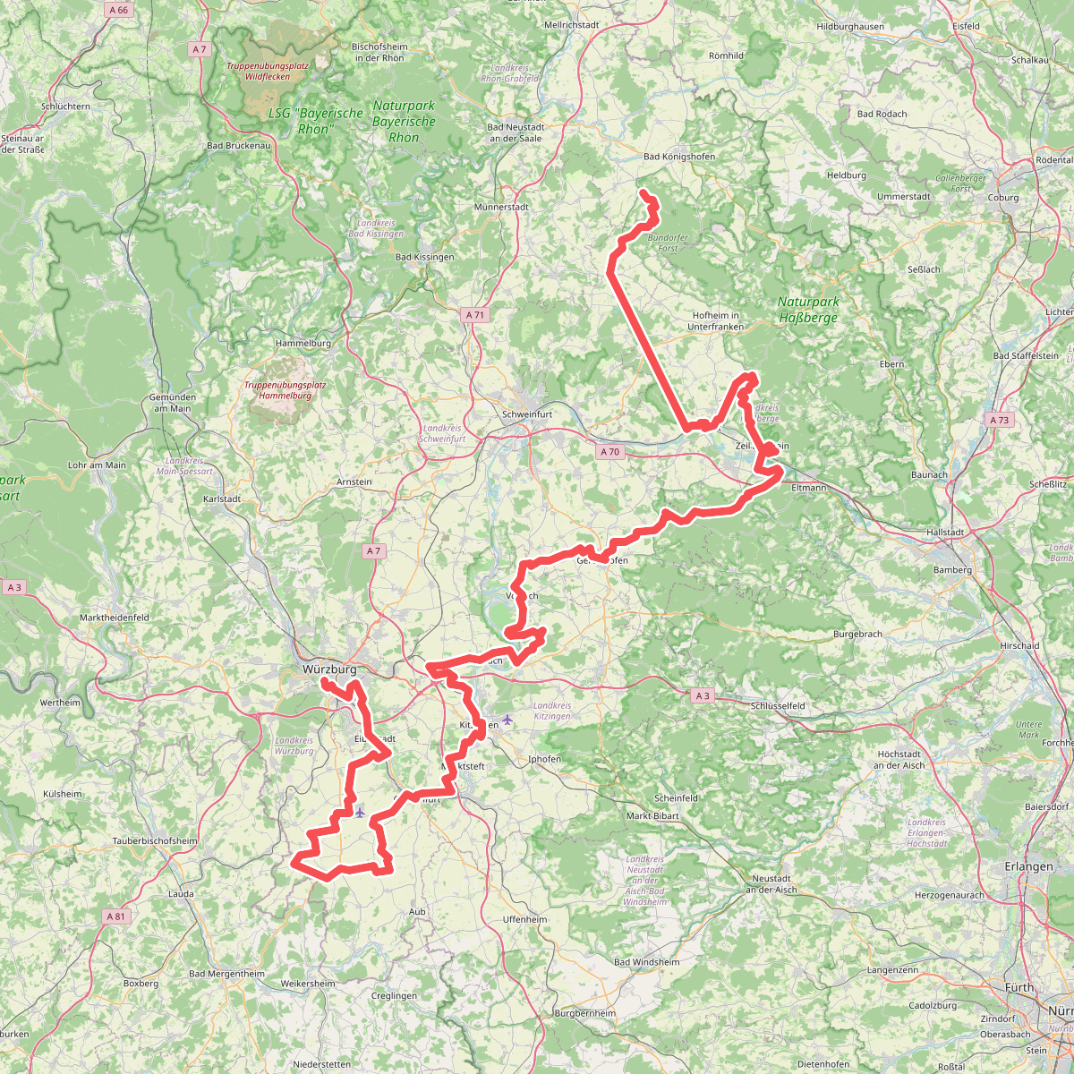
#3. Fränkischer Marienweg Route 3
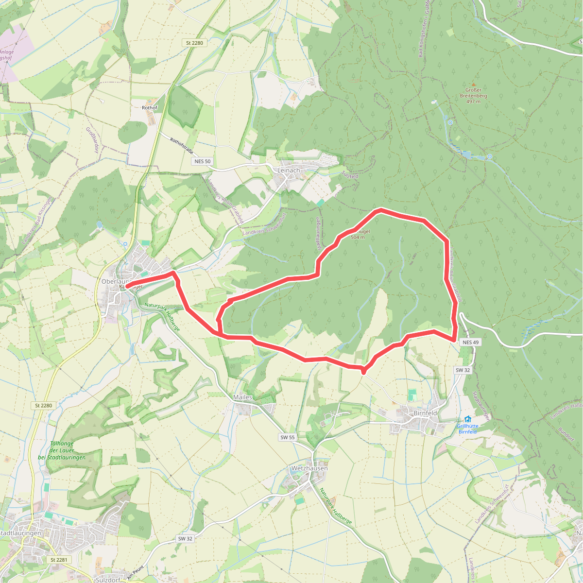
#4. Geologieweg Stadtlauringen
Stadtlauringen,Sulzfelder Forst

#5. Hasenweg Königsberg
Königsberg in Bayern

#6. Historischer Rundwanderweg Königsberg
Königsberg in Bayern,Burgpreppach

#7. Holzkraus Familien-Erlebnisweg Natour Haßberge
Königsberg in Bayern

#8. Lauftour AID2
Aidhausen,Hofheim in Unterfranken

#9. Lauftour BUN1
Bundorf

#10. Lauftour HOH1
Hofheim in Unterfranken,Königsberg in Bayern

#11. Lauftour HOH2
Hofheim in Unterfranken,Aidhausen,Bundorf

#12. Lauftour HOH3
Hofheim in Unterfranken




