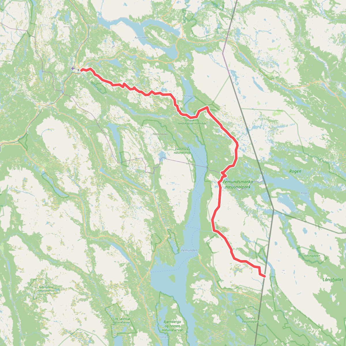
The best hiking routes in Langtjønna landskapsvernområde
Discover the best walks in Langtjønna landskapsvernområde. 1 routes on the map, with descriptions, photos and GPX.
Managed by Nasjonalparkstyre for Femundsmarka og Gutulia
About Langtjønna landskapsvernområde
Langtjønna landskapsvernområde offers a distinct walking landscape dominated by historic timber-floating waterways, open pine forests, and moraine ridges. Unlike the rugged, high-altitude terrain found further east, this protected area is characterized by its gentle, rolling topography and a network of narrow lakes connected by small canals and streams. The landscape is a direct result of glacial deposits, leaving behind a maze of gravel ridges, boulders, and boggy depressions that dictate where you can walk.
Read more
About Langtjønna landskapsvernområde
Langtjønna landskapsvernområde offers a distinct walking landscape dominated by historic timber-floating waterways, open pine forests, and moraine ridges. Unlike the rugged, high-altitude terrain found further east, this protected area is characterized by its gentle, rolling topography and a network of narrow lakes connected by small canals and streams. The landscape is a direct result of glacial deposits, leaving behind a maze of gravel ridges, boulders, and boggy depressions that dictate where you can walk.
Read moreLangtjønna landskapsvernområde offers a distinct walking landscape dominated by historic timber-floating waterways, open pine forests, and moraine ridges. Unlike the rugged, high-altitude terrain found further east, this protected area is characterized by its gentle, rolling topography and a network of narrow lakes connected by small canals and streams. The landscape is a direct result of glacial deposits, leaving behind a maze of gravel ridges, boulders, and boggy depressions that dictate where you can walk.
Underfoot, the terrain varies between dry, sandy paths winding through open lichen-covered pine forests and wet, peat-heavy sections near the watercourses. While some of the marshier crossings feature basic wooden boardwalks, walkers should expect uneven ground with exposed tree roots and loose stones. The paths closely follow the old timber-rafting routes, providing a clear line of navigation through the labyrinth of lakes and land strips.
This area is ideal for those who prefer quiet, low-gradient woodland walks over steep mountain climbs. In late August, the dwarf shrubs and heather turn deep shades of red and yellow, contrasting with the grey lichen ground cover. It is a functional, historic landscape where the remnants of old log flumes and stone dams are still visible right beside the walking tracks.