


The best hiking routes in LSG innerhalb des Naturparks Hassberge (ehemals Schutzzone)
Discover the best walks in LSG innerhalb des Naturparks Hassberge (ehemals Schutzzone). 166 routes on the map, with descriptions, photos and GPX.
About LSG innerhalb des Naturparks Hassberge (ehemals Schutzzone)
LSG innerhalb des Naturparks Hassberge (ehemals Schutzzone) offers a landscape of low, forested ridges and small agricultural valleys, rather than dramatic peaks or deep gorges. Walking here means navigating a mix of dense deciduous woodlands, dominated by beech and oak, and open meadow orchards. The terrain is characterized by its Keuper sandstone geology, which you will notice underfoot as sandy, soft forest tracks that transition into firmer dirt roads when crossing agricultural fields between the wooded hills.
Read more
About LSG innerhalb des Naturparks Hassberge (ehemals Schutzzone)
LSG innerhalb des Naturparks Hassberge (ehemals Schutzzone) offers a landscape of low, forested ridges and small agricultural valleys, rather than dramatic peaks or deep gorges. Walking here means navigating a mix of dense deciduous woodlands, dominated by beech and oak, and open meadow orchards. The terrain is characterized by its Keuper sandstone geology, which you will notice underfoot as sandy, soft forest tracks that transition into firmer dirt roads when crossing agricultural fields between the wooded hills.
Read moreLSG innerhalb des Naturparks Hassberge (ehemals Schutzzone) offers a landscape of low, forested ridges and small agricultural valleys, rather than dramatic peaks or deep gorges. Walking here means navigating a mix of dense deciduous woodlands, dominated by beech and oak, and open meadow orchards. The terrain is characterized by its Keuper sandstone geology, which you will notice underfoot as sandy, soft forest tracks that transition into firmer dirt roads when crossing agricultural fields between the wooded hills.
Unlike flatter river plains, this protected area requires constant but gentle climbing and descending. The forest floor is often covered in thick leaf litter, and the paths are mostly natural trails rather than paved walkways. You will encounter small, damp stream valleys cutting through the sandstone, where the vegetation shifts quickly to moisture-loving plants and damp soil, contrasting with the drier, pine-mixed ridges just a short climb above.
This area is generally quieter than the neighboring main tourist spots of the region, though trails near the small villages can see more local foot traffic. October is a particularly distinct time to visit, as the extensive beech canopy turns a deep copper color before the leaves drop. There are no high-altitude viewpoints, but the gaps in the trees provide realistic glimpses of the rolling Franconian countryside.
Hiking routes in LSG innerhalb des Naturparks Hassberge (ehemals Schutzzone) (166)
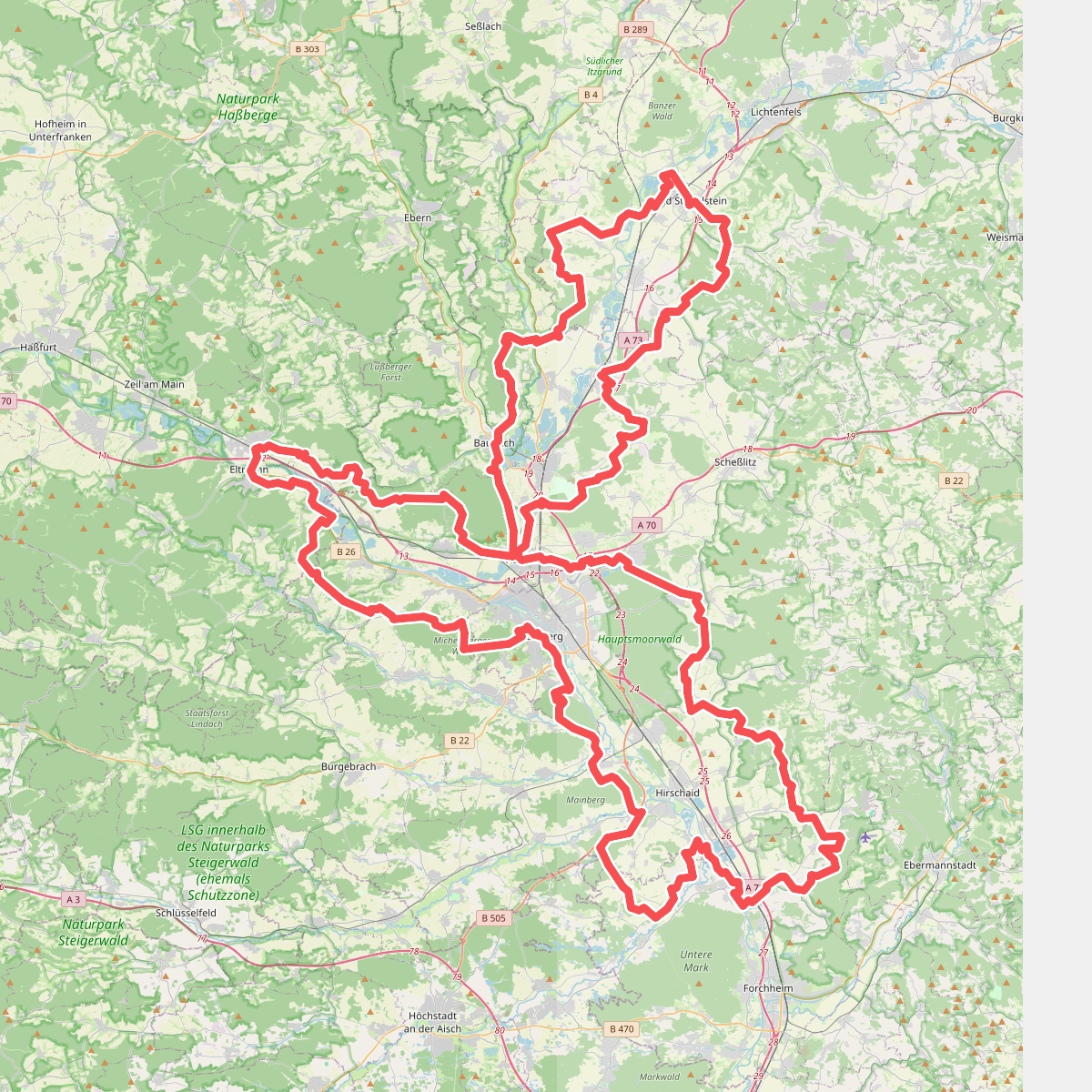
#1. 7-Flüsse-Wanderweg

#2. Abt-Degen-Steig
Zeil am Main,Ebelsbach
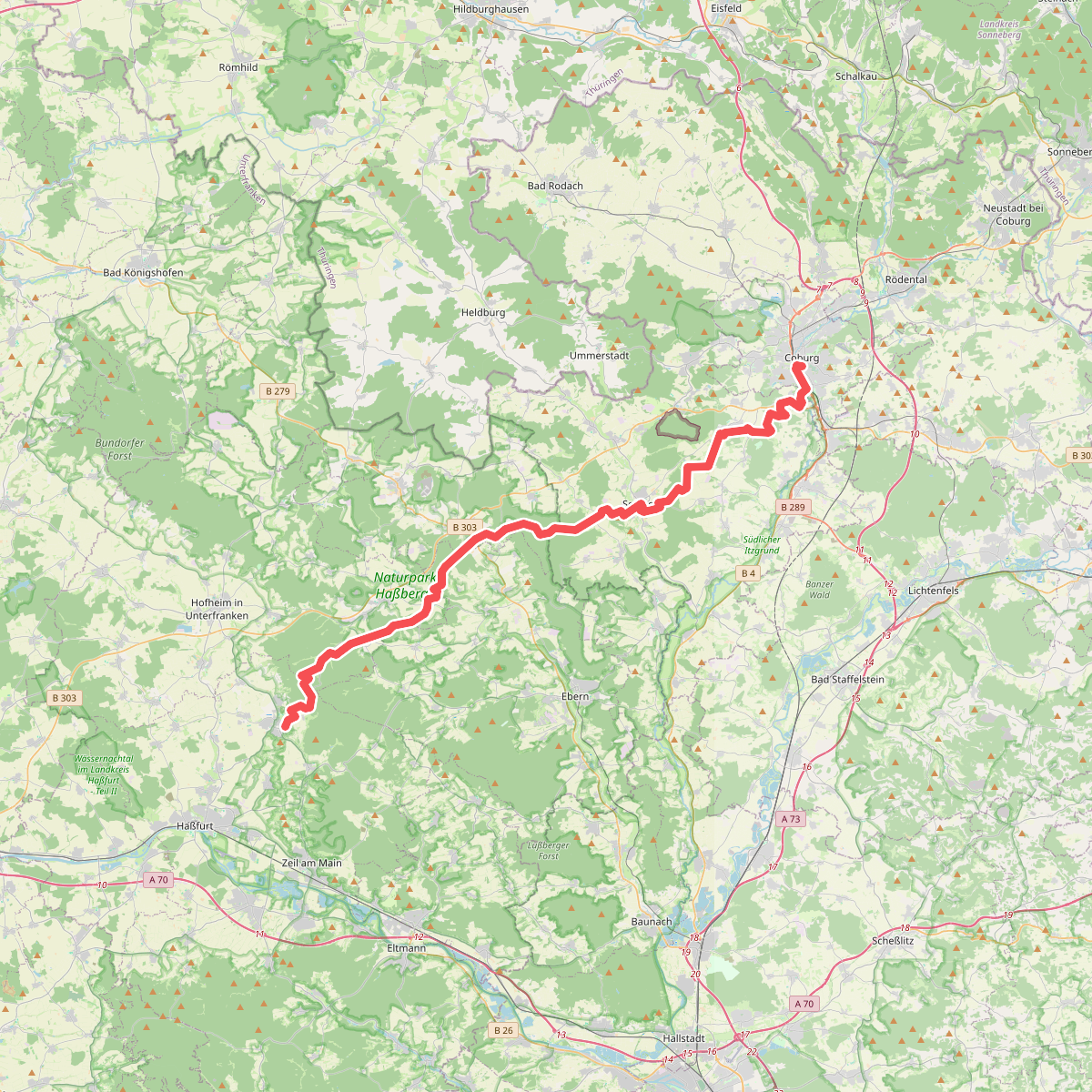
#3. Amtsbotenweg
Coburg,Ahorn,Seßlach,Großheirath,Maroldsweisach,Pfarrweisach,Burgpreppach,Ebern,Königsberg in Bayern

#4. Auf Jägerpfaden zur Schwedenschanze
Hofheim in Unterfranken,Bundorf,Aidhausen

#5. Baumlehrpfad um die Raidelhütte
Lauter,Baunach

#6. Baunach Sembergrunde
Baunach,Semberg,Oberhaid

#7. Baunach Stiefenbergrunde
Baunach

#8. Biergartenwanderweg
Sulzfeld

#9. Bischofsheimer Forstweg
Zeil am Main

#10. Brauersteig
Baunach,Rattelsdorf,Reckendorf

#11. Burgenkundlicher Rundweg Haßberge
Ebern,Burgpreppach

#12. Dachs-Wanderweg Mürsbach
Rattelsdorf,Rentweinsdorf




