


The best hiking routes in Maintal von Staffelstein bis Hallstadt
Discover the best walks in Maintal von Staffelstein bis Hallstadt. 38 routes on the map, with descriptions, photos and GPX.
About Maintal von Staffelstein bis Hallstadt
The Maintal von Staffelstein bis Hallstadt covers a wide, flat river valley shaped by the winding course of the Main. Unlike the steep, rocky crags of the nearby Franconian Jura that border this valley, the terrain here is low-lying and gently rolling. The landscape is a mix of wide agricultural fields, damp riverside meadows, and numerous gravel pits that have filled with water to become artificial lakes. Walking here means navigating a landscape heavily modified by human activity, where natural river bends exist alongside straight, engineered channels and active gravel extraction sites.
Read more
About Maintal von Staffelstein bis Hallstadt
The Maintal von Staffelstein bis Hallstadt covers a wide, flat river valley shaped by the winding course of the Main. Unlike the steep, rocky crags of the nearby Franconian Jura that border this valley, the terrain here is low-lying and gently rolling. The landscape is a mix of wide agricultural fields, damp riverside meadows, and numerous gravel pits that have filled with water to become artificial lakes. Walking here means navigating a landscape heavily modified by human activity, where natural river bends exist alongside straight, engineered channels and active gravel extraction sites.
Read moreThe Maintal von Staffelstein bis Hallstadt covers a wide, flat river valley shaped by the winding course of the Main. Unlike the steep, rocky crags of the nearby Franconian Jura that border this valley, the terrain here is low-lying and gently rolling. The landscape is a mix of wide agricultural fields, damp riverside meadows, and numerous gravel pits that have filled with water to become artificial lakes. Walking here means navigating a landscape heavily modified by human activity, where natural river bends exist alongside straight, engineered channels and active gravel extraction sites.
Underfoot, the paths are mostly flat, wide agricultural tracks, gravel lanes, and paved cycleways, with very few narrow dirt trails or steep climbs. The ground is generally firm, though sections closer to the riverbanks can consist of soft clay or damp grass. Because the valley floor is wide open, there is little tree cover along many of the paths, leaving walkers exposed to the elements for long stretches between the small villages that dot the route.
In late spring, around May, the riverside meadows are green and often filled with nesting waterbirds, which are easily spotted around the gravel lakes. This area is not a wilderness of deep forests or dramatic gorges, but rather a working rural valley where trains and roads are often audible. It is best suited for those who prefer easy, level walking from village to village over rugged hill hiking.
Hiking routes in Maintal von Staffelstein bis Hallstadt (38)
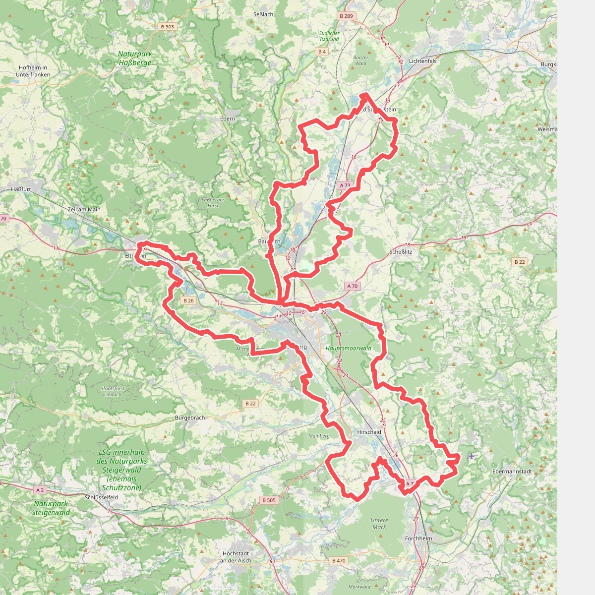
#1. 7-Flüsse-Wanderweg
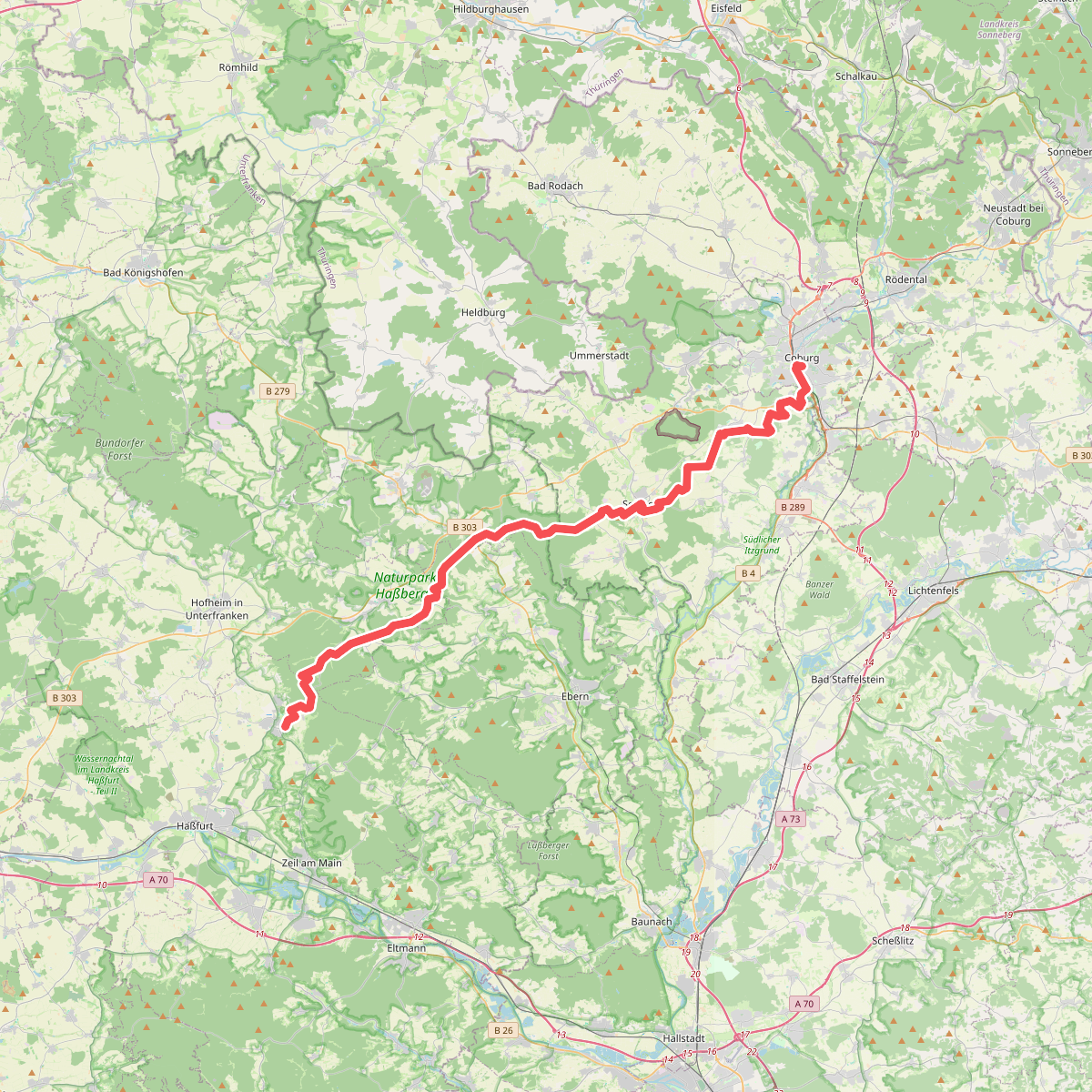
#2. Amtsbotenweg
Coburg,Ahorn,Seßlach,Großheirath,Maroldsweisach,Pfarrweisach,Burgpreppach,Ebern,Königsberg in Bayern

#3. Baunach Sembergrunde
Baunach,Semberg,Oberhaid

#4. Brauereiweg 1
Bad Staffelstein

#5. Brauersteig
Baunach,Rattelsdorf,Reckendorf

#6. Breitengüßbach Rundwanderweg 1
Breitengüßbach,Memmelsdorf,Zapfendorf

#7. Ebensfelder Main-Runde oder Wiesener Rundweg
Bad Staffelstein,Ebensfeld
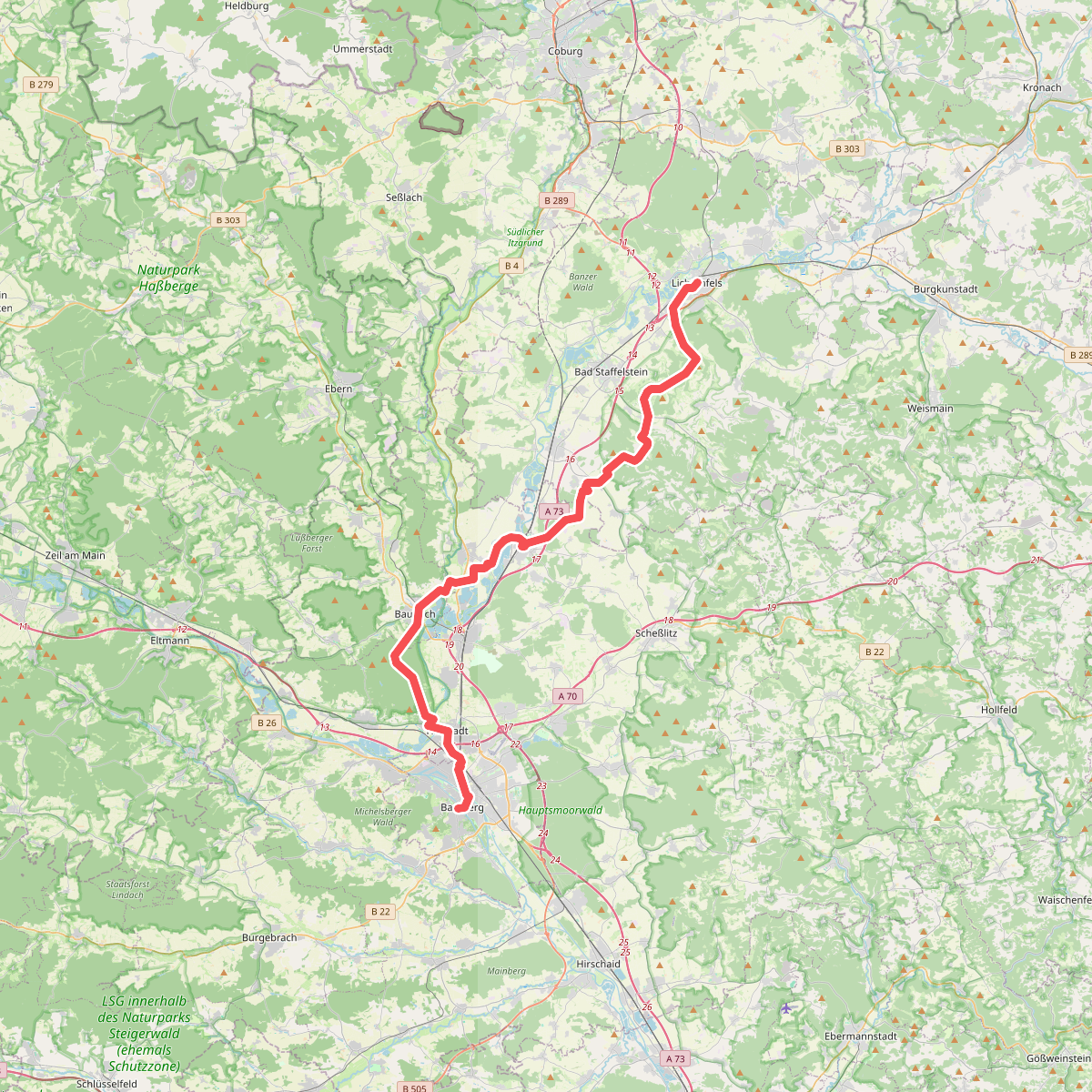
#8. Fränkischer Jakobsweg Lichtenfels-Bamberg

#9. Horsdorfer Weg
Ebensfeld,Bad Staffelstein

#10. Keltenweg B
Bad Staffelstein,Lichtenfels

#11. Keltenweg C
Bad Staffelstein

#12. Kemmern Dammrunde
Kemmern,Breitengüßbach




