


The best hiking routes in Monte Rondinaio, Monte Giovo
Discover the best walks in Monte Rondinaio, Monte Giovo. 38 routes on the map, with descriptions, photos and GPX.
Managed by Provincia di Modena, Ente di gestione per i Parchi e la Biodiversità - Emilia orientale
About Monte Rondinaio, Monte Giovo
Monte Rondinaio, Monte Giovo offers a rugged, high-altitude walking experience along the main ridge of the Tuscan-Emilian Apennines. Unlike the lower, forested hills of the region, this area is defined by sharp glacial cirques, steep sandstone faces, and vast alpine grasslands above the treeline. Walkers must choose between the dramatic, rocky crests that connect the two summits and the quieter, enclosed basins below, where glacial lakes like Lago Santo and Lago Baccio sit in deep stone hollows.
Read more
About Monte Rondinaio, Monte Giovo
Monte Rondinaio, Monte Giovo offers a rugged, high-altitude walking experience along the main ridge of the Tuscan-Emilian Apennines. Unlike the lower, forested hills of the region, this area is defined by sharp glacial cirques, steep sandstone faces, and vast alpine grasslands above the treeline. Walkers must choose between the dramatic, rocky crests that connect the two summits and the quieter, enclosed basins below, where glacial lakes like Lago Santo and Lago Baccio sit in deep stone hollows.
Read moreMonte Rondinaio, Monte Giovo offers a rugged, high-altitude walking experience along the main ridge of the Tuscan-Emilian Apennines. Unlike the lower, forested hills of the region, this area is defined by sharp glacial cirques, steep sandstone faces, and vast alpine grasslands above the treeline. Walkers must choose between the dramatic, rocky crests that connect the two summits and the quieter, enclosed basins below, where glacial lakes like Lago Santo and Lago Baccio sit in deep stone hollows.
Underfoot, the terrain demands careful attention. The high ridge paths are dominated by loose sandstone scree, exposed bedrock, and narrow, grassy ledges that require steady footing, while the lower approaches wind through dense beech woods over a mixture of damp soil, exposed tree roots, and ancient stone-paved mule tracks. The transition from the shaded, humid forest floor to the dry, wind-scoured rock of the summits is sudden and defines the character of the climb.
This area is not a place for gentle, flat strolls; the climbs are steep and the ridge lines are highly exposed to the elements. While the main lakeside trailheads can become busy with visitors in July and August, the higher, more demanding routes toward the peaks of Monte Rondinaio and Monte Giovo attract fewer walkers, offering a starker, more solitary mountain landscape.
Hiking routes in Monte Rondinaio, Monte Giovo (38)
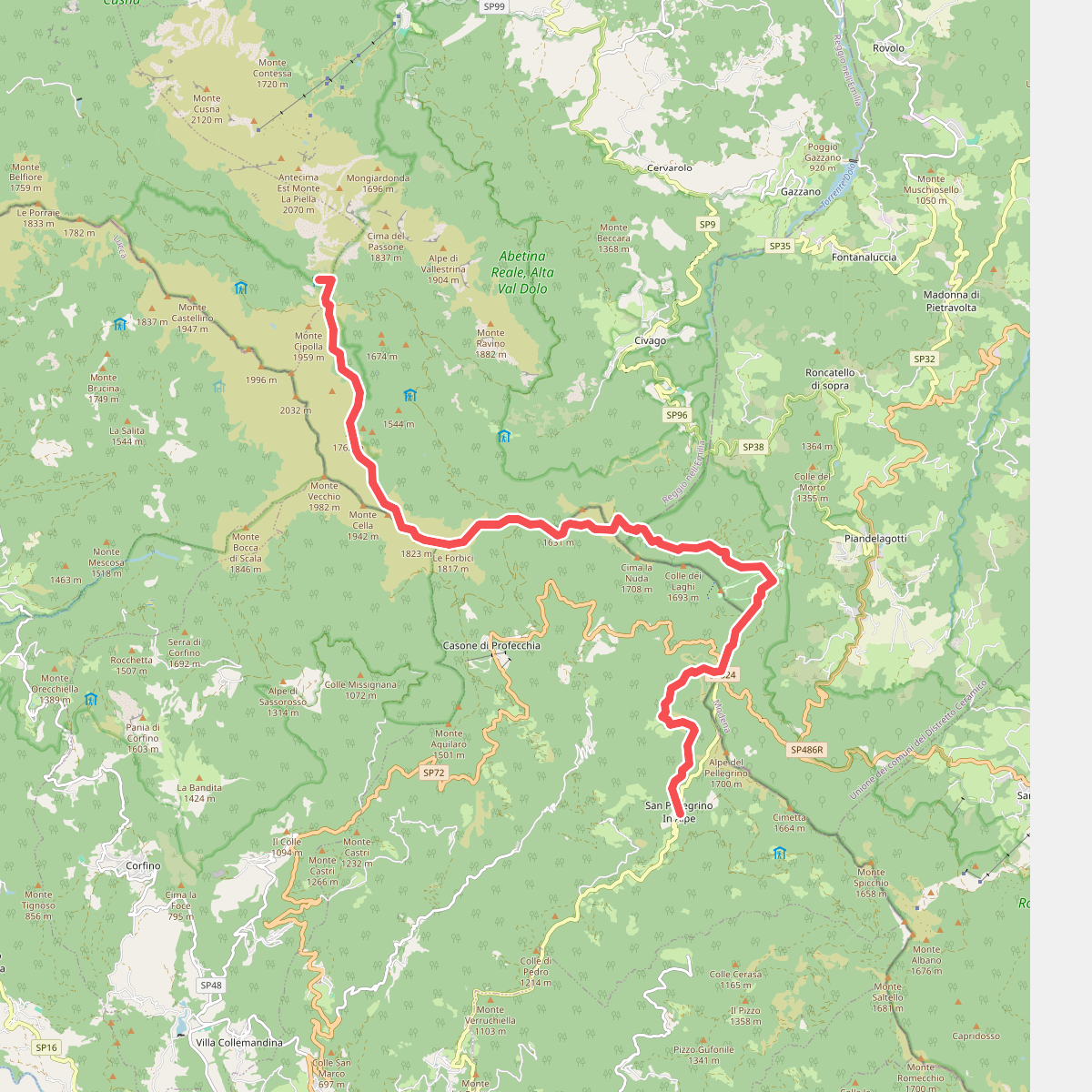
#1. Alta via dei Parchi: Tappa 06

#2. Alta via dei Parchi: Tappa 07

#3. Alta via dei Parchi: Tappa 08

#4. CAI 597
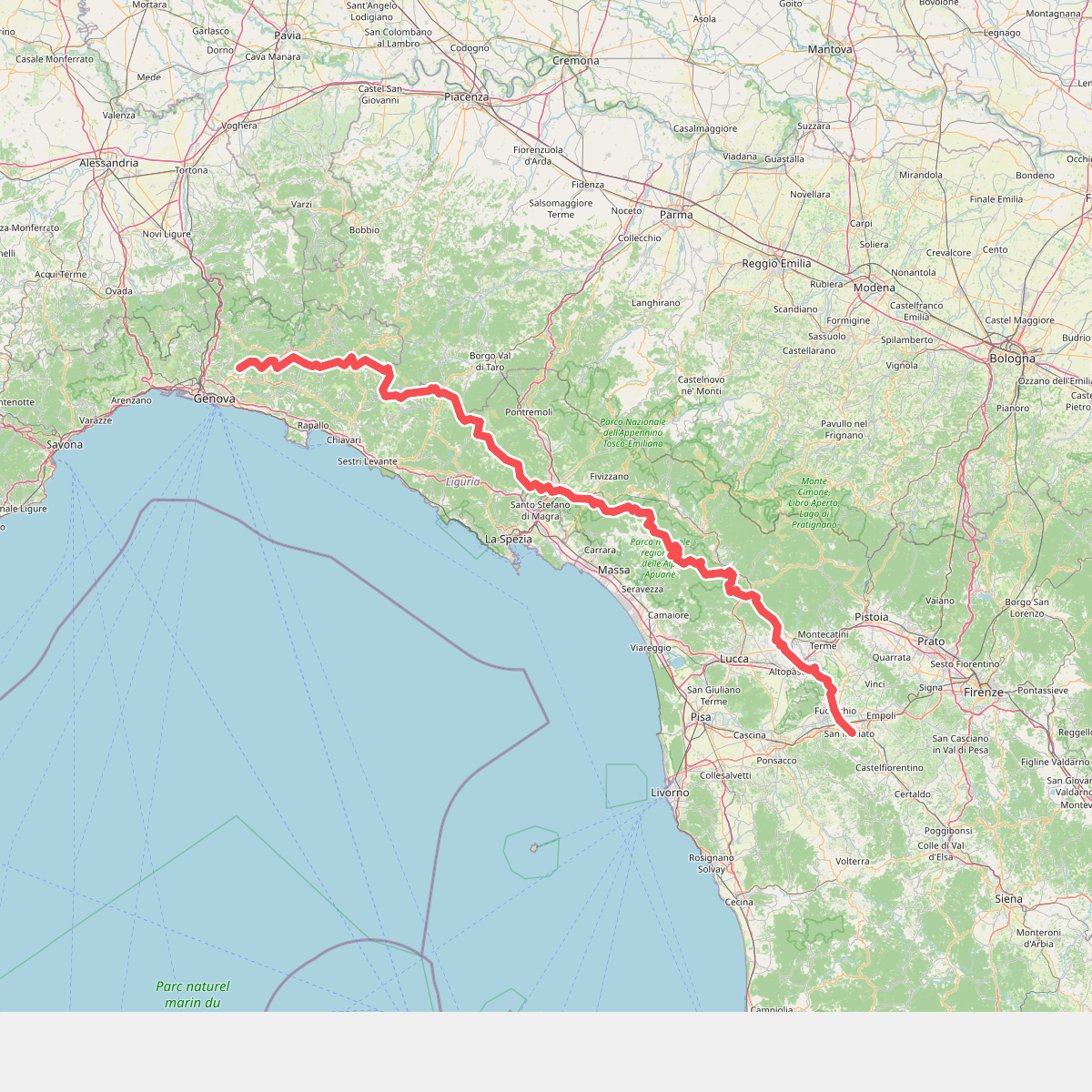
#5. Cammino di Assisi, Genova - San Miniato

#6. Crocialetto- Passetto di Rondinaio

#7. E1 Toscana 06 Passo di Pradarena - Passo delle Radici

#8. E1 Toscana 06 Variante 6.1

#9. E1 Toscana 07 Passo delle Radici - Lago Santo Modenese

#10. E1 Toscana 08 Lago Santo Modenese - Abetone-Boscolungo

#11. E1 Toscana 08 Variante 8.1





