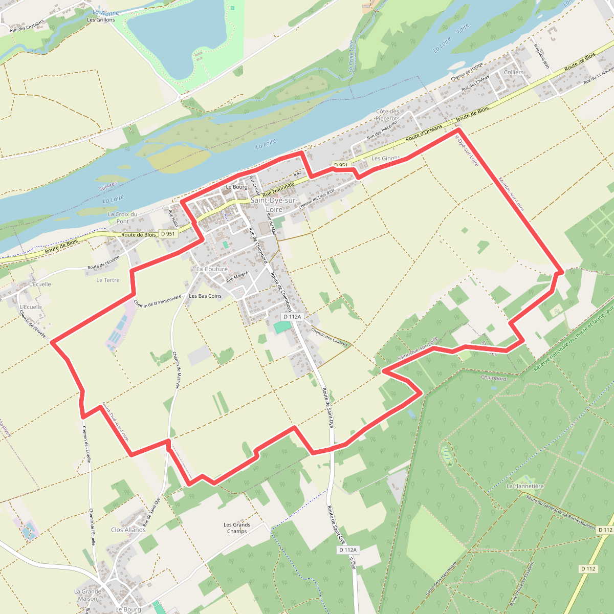
The best hiking routes in Natura 2000 Vallée de la Loire de Mosnes à Tavers
Discover the best walks in Natura 2000 Vallée de la Loire de Mosnes à Tavers. 35 routes on the map, with descriptions, photos and GPX.
About Natura 2000 Vallée de la Loire de Mosnes à Tavers
The Natura 2000 Vallée de la Loire de Mosnes à Tavers covers a dynamic river corridor where the Loire is left to constantly reshape its own bed. Walking here means navigating a shifting mosaic of gravel banks, sandy islands, and alluvial forests rather than a fixed network of dry forest trails. The landscape is defined by this lateral movement of water, which leaves behind damp depressions and exposed sandbars that change position after seasonal high waters.
Read more
About Natura 2000 Vallée de la Loire de Mosnes à Tavers
The Natura 2000 Vallée de la Loire de Mosnes à Tavers covers a dynamic river corridor where the Loire is left to constantly reshape its own bed. Walking here means navigating a shifting mosaic of gravel banks, sandy islands, and alluvial forests rather than a fixed network of dry forest trails. The landscape is defined by this lateral movement of water, which leaves behind damp depressions and exposed sandbars that change position after seasonal high waters.
Read moreThe Natura 2000 Vallée de la Loire de Mosnes à Tavers covers a dynamic river corridor where the Loire is left to constantly reshape its own bed. Walking here means navigating a shifting mosaic of gravel banks, sandy islands, and alluvial forests rather than a fixed network of dry forest trails. The landscape is defined by this lateral movement of water, which leaves behind damp depressions and exposed sandbars that change position after seasonal high waters.
Underfoot, you will mostly encounter loose river sand, silty soils, and occasional stony paths along the dikes. There are no boardwalks or paved promenades cutting through the core riparian zones, so progress can feel slow and uneven. The vegetation reflects this instability, ranging from pioneer grasses on the youngest sand deposits to dense willow and poplar scrub on the more established islands.
This area is not a place for high vantage points or deep valley views, as the terrain remains resolutely flat and low-lying. Instead, the interest lies in observing how the vegetation adapts to the river's flow, with clear transitions from the wet, frequently flooded margins to the drier oak woodlands on the higher terraces. The open gravel beds are often quieter and less visited, while the paths closer to the villages can see more regular local foot traffic.
Hiking routes in Natura 2000 Vallée de la Loire de Mosnes à Tavers (35)
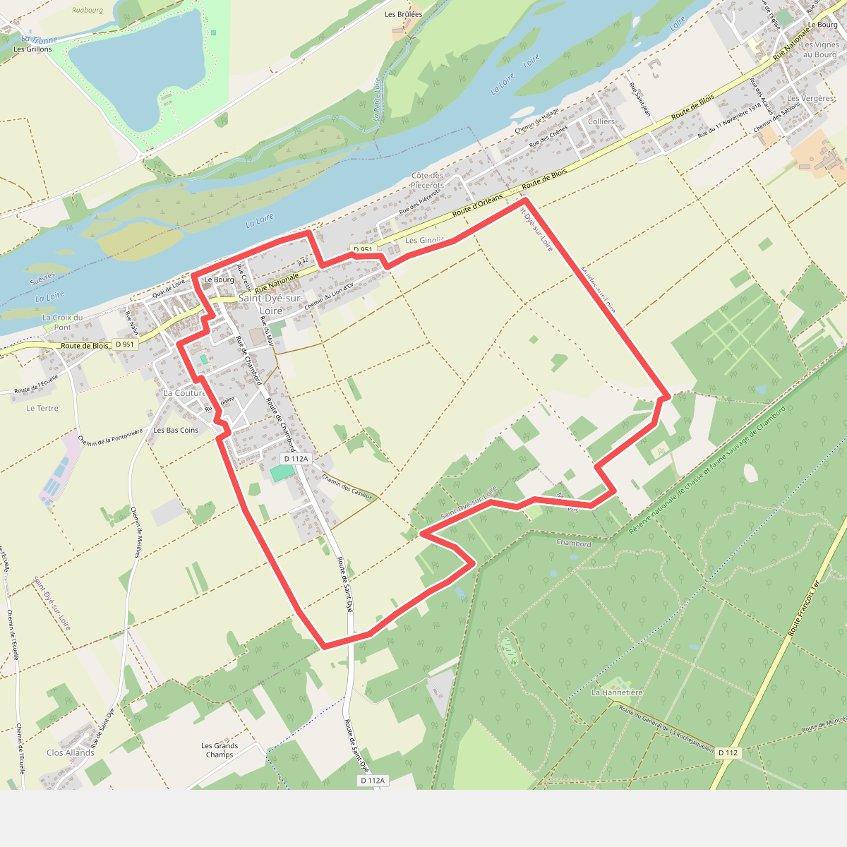
#1. Circuit de Bois-Maçon
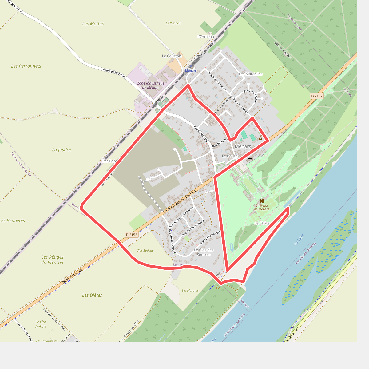
#2. Circuit de la marquise de Pompadour
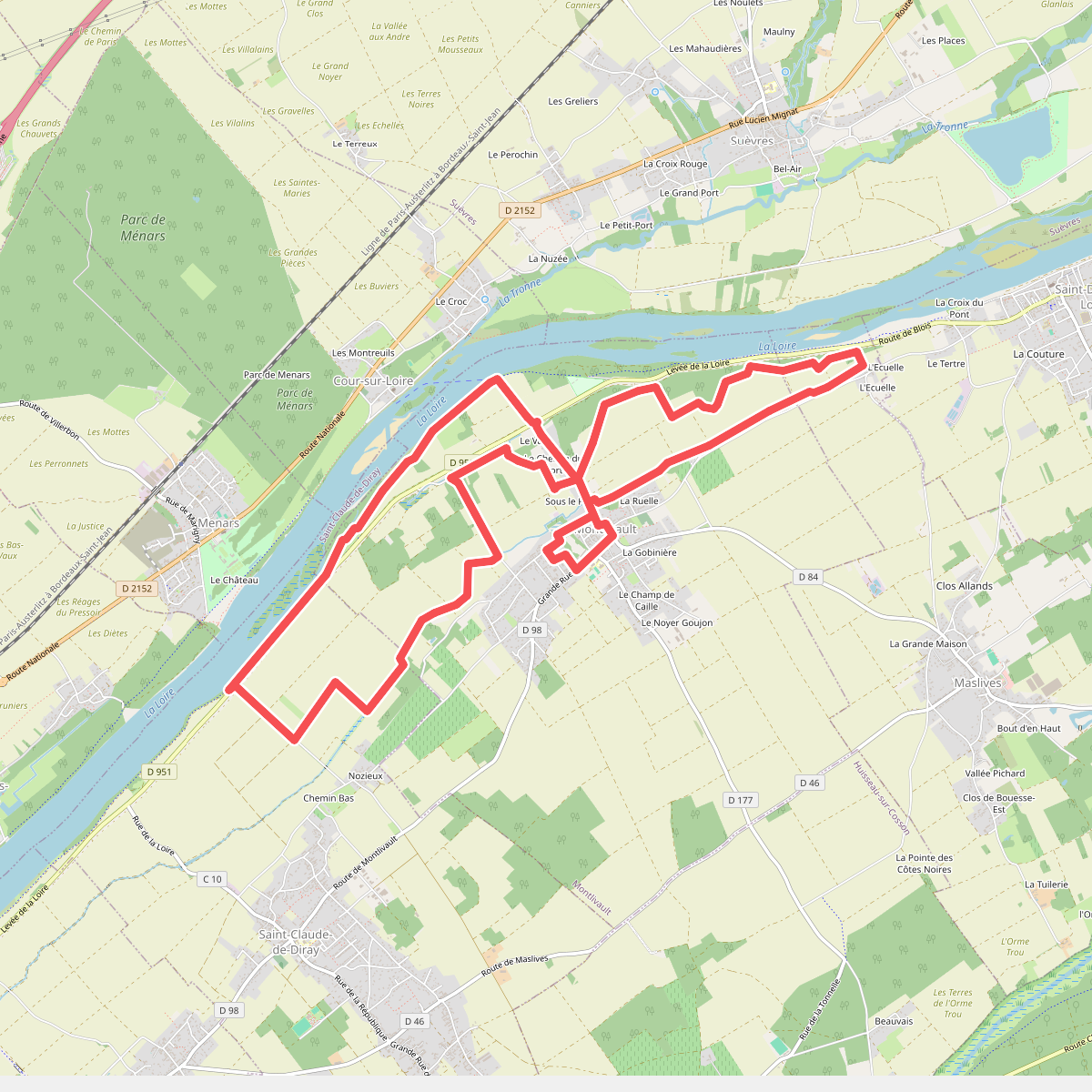
#3. Circuit de la Noue et des bords de Loire
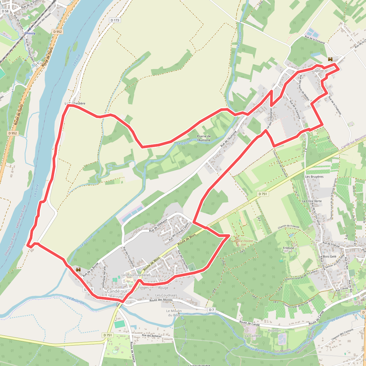
#4. Circuit de l'Aumône
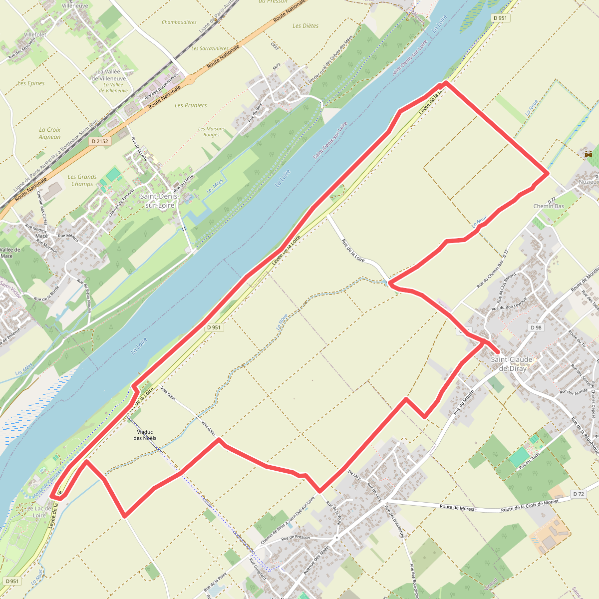
#5. Circuit des bords de Loire
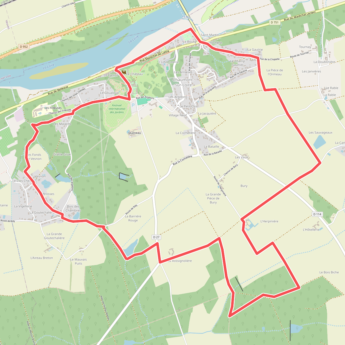
#6. Circuit des Frileuses
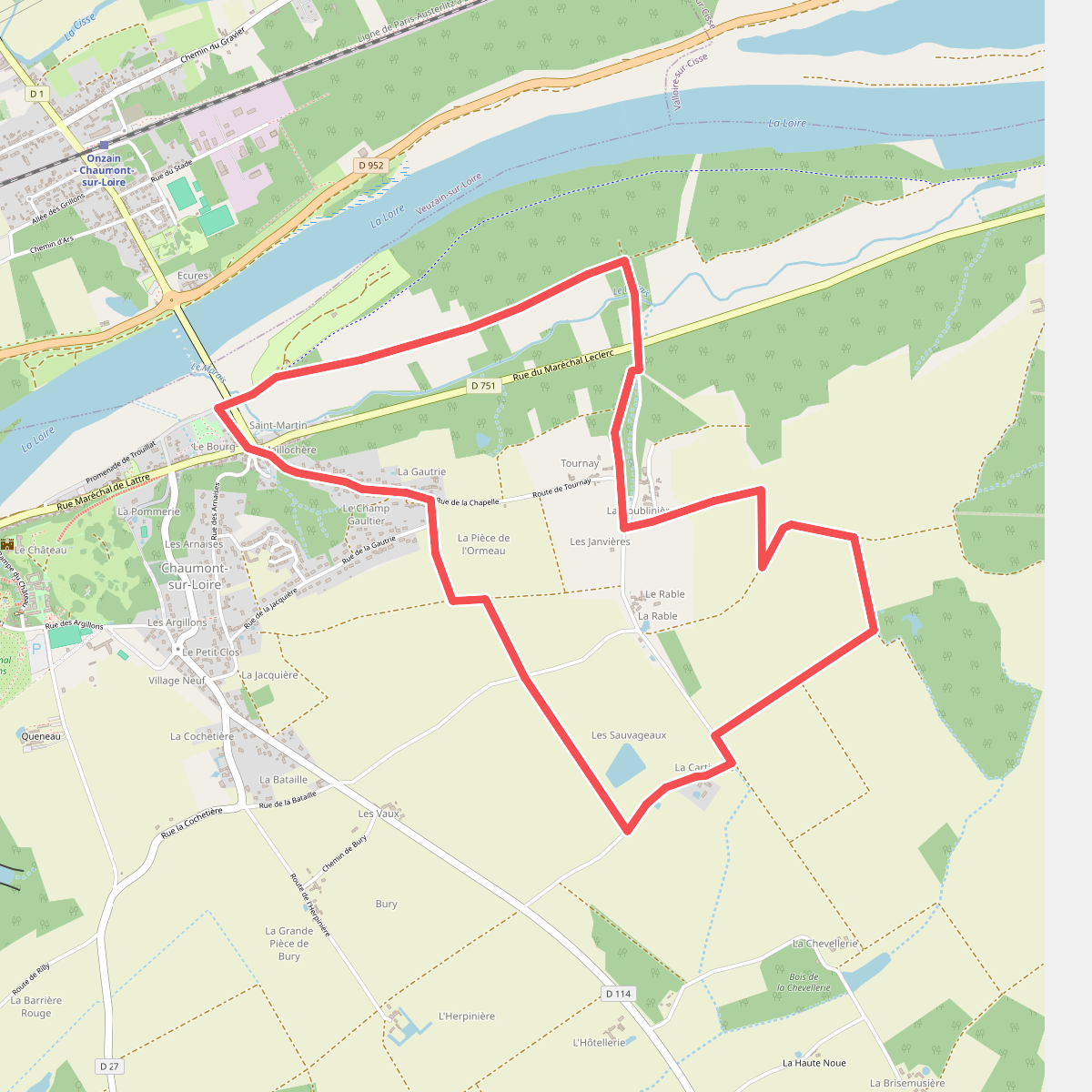
#7. Circuit du bois du Peu
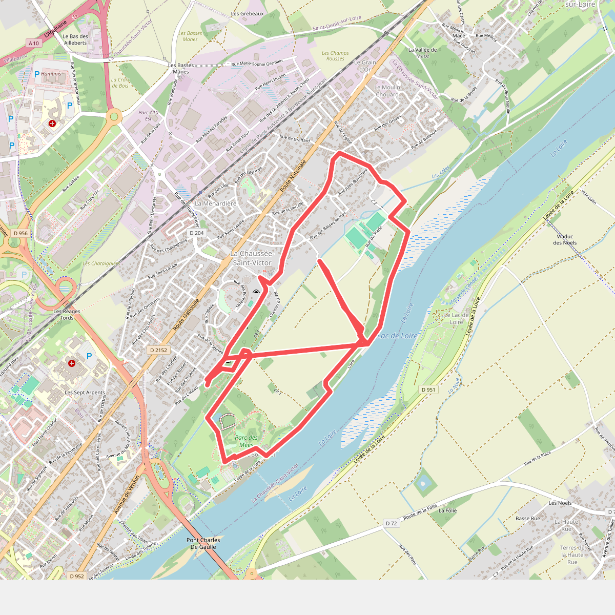
#8. Circuit du val
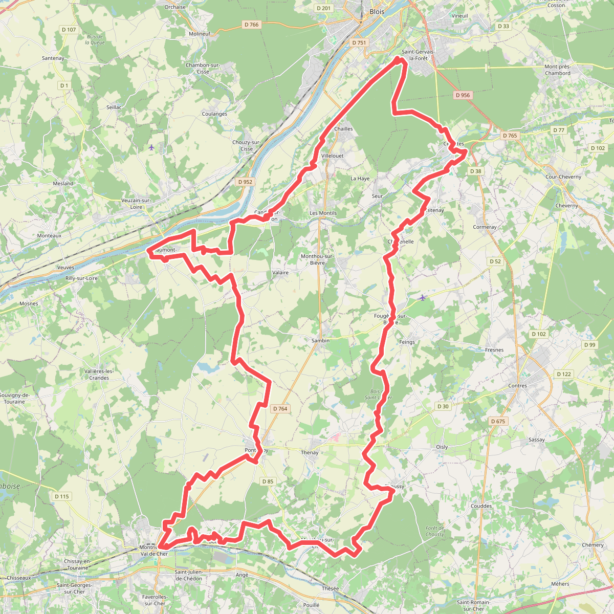
#9. de Châteaux en Châteaux - boucle 1
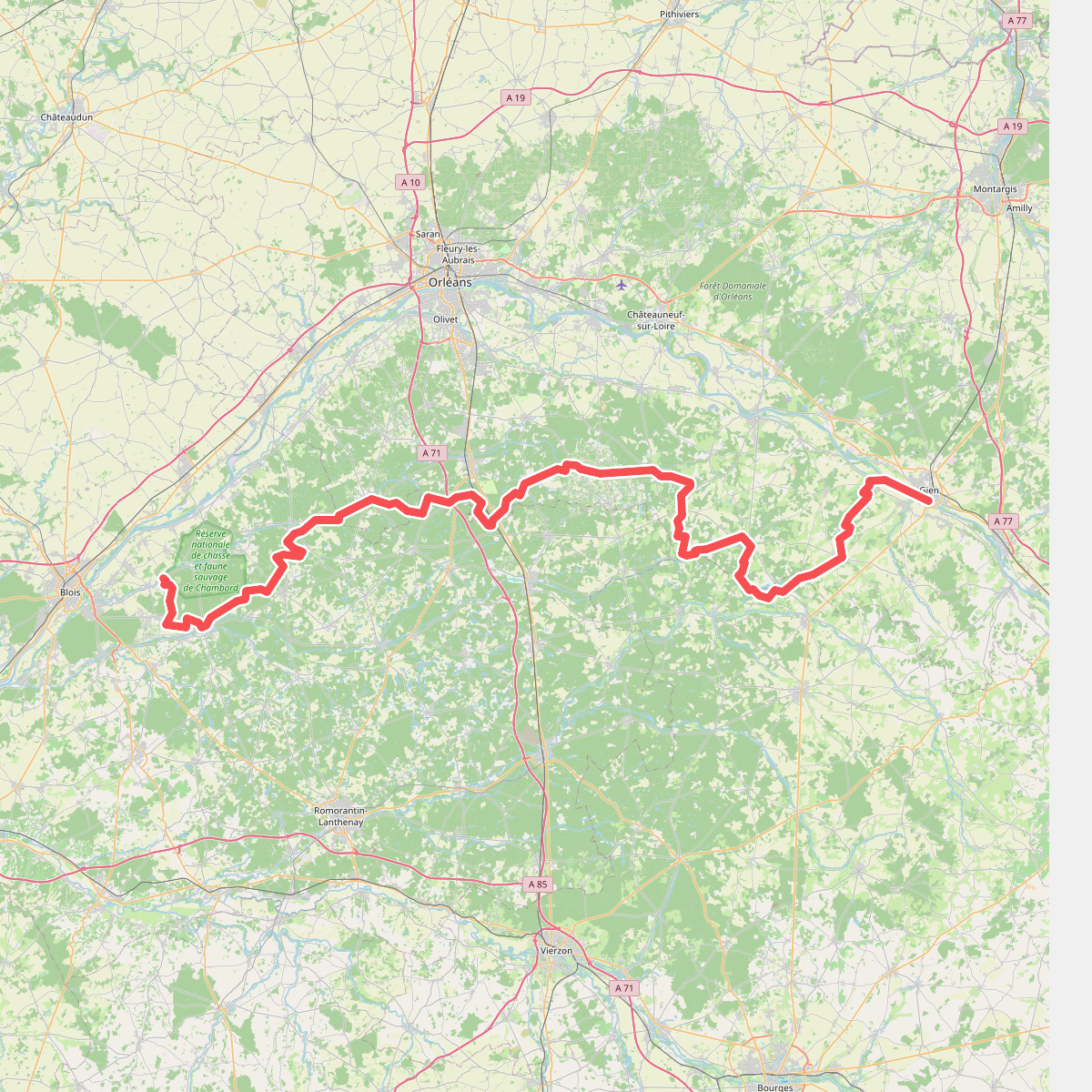
#10. De Gien à Chambord
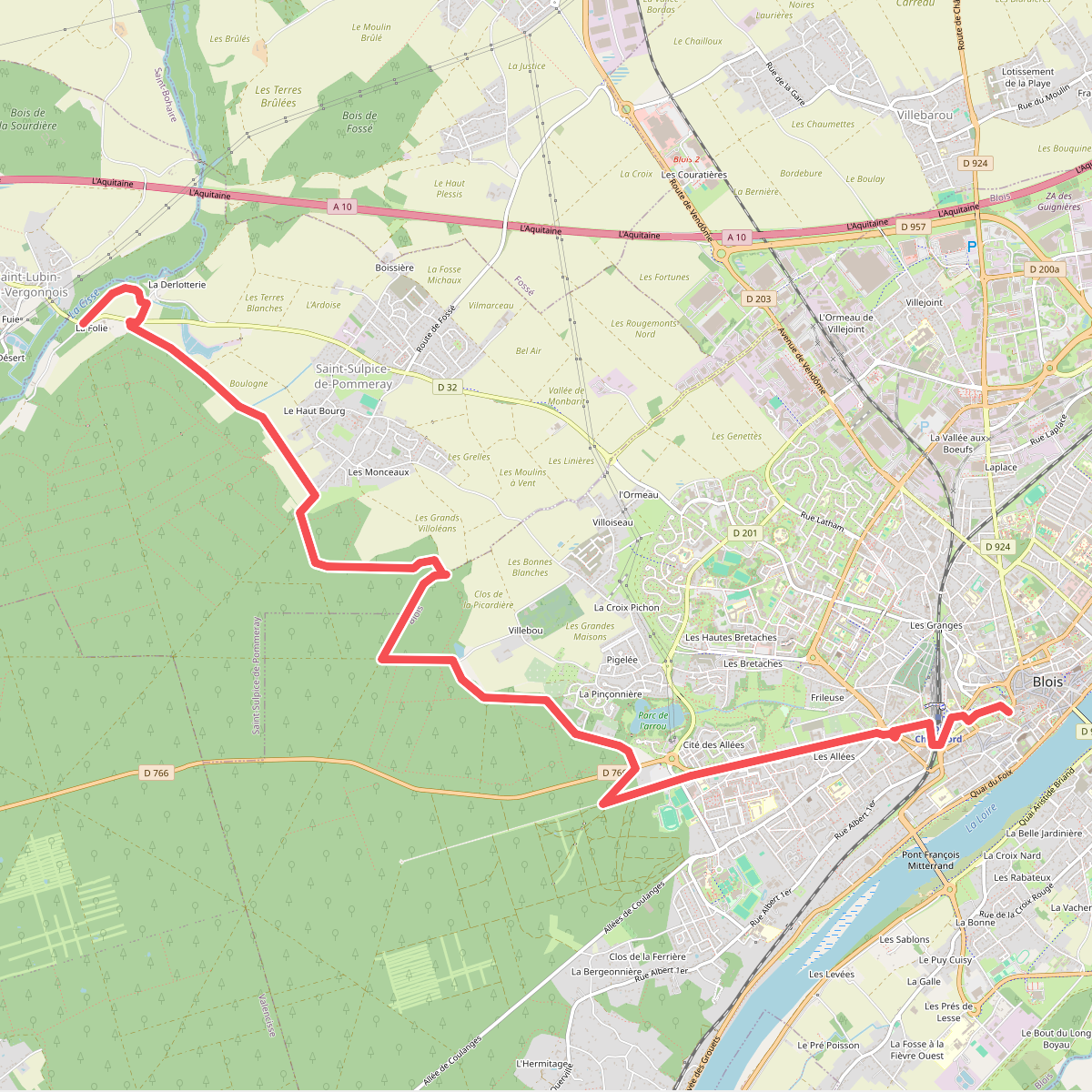
#11. De Vendôme au Loir, variante Blois