


The best hiking routes in Naturpark Thüringer Wald
Discover the best walks in Naturpark Thüringer Wald. 277 routes on the map, with descriptions, photos and GPX.
About Naturpark Thüringer Wald
Naturpark Thüringer Wald is a densely forested, elongated upland range dominated by spruce and beech woods, rather than open heathland or rugged alpine peaks. Walkers should expect a landscape of deep, narrow valleys cutting through a high, gently rolling slate and granite plateau. The central ridge is defined by the Rennsteig, a historic boundary path where the ground underfoot consists of packed earth, gravel, and exposed tree roots. This ridge acts as a watershed, meaning you will frequently cross small, fast-flowing streams and damp valley floors, particularly on the lower slopes where mosses and ferns thrive.
Read more
About Naturpark Thüringer Wald
Naturpark Thüringer Wald is a densely forested, elongated upland range dominated by spruce and beech woods, rather than open heathland or rugged alpine peaks. Walkers should expect a landscape of deep, narrow valleys cutting through a high, gently rolling slate and granite plateau. The central ridge is defined by the Rennsteig, a historic boundary path where the ground underfoot consists of packed earth, gravel, and exposed tree roots. This ridge acts as a watershed, meaning you will frequently cross small, fast-flowing streams and damp valley floors, particularly on the lower slopes where mosses and ferns thrive.
Read moreNaturpark Thüringer Wald is a densely forested, elongated upland range dominated by spruce and beech woods, rather than open heathland or rugged alpine peaks. Walkers should expect a landscape of deep, narrow valleys cutting through a high, gently rolling slate and granite plateau. The central ridge is defined by the Rennsteig, a historic boundary path where the ground underfoot consists of packed earth, gravel, and exposed tree roots. This ridge acts as a watershed, meaning you will frequently cross small, fast-flowing streams and damp valley floors, particularly on the lower slopes where mosses and ferns thrive.
The forest structure changes noticeably depending on your elevation. The higher ridges are dominated by managed spruce plantations, which can feel dark and uniform, while the steeper slopes and valleys preserve older, mixed beech forests that let in more light. Underfoot, the tracks vary from wide, gravelled forestry roads to narrow, stony paths that require careful stepping. Because of the dense canopy, views are concentrated at specific clearings and sandstone outcrops rather than along the entire route.
This park is best suited for those who appreciate long, steady climbs through deep woodland rather than dramatic rock climbing. The well-known sections of the Rennsteig trail can become busy with long-distance walkers, especially around trailheads and mountain inns, while the steep side valleys offer quieter, more isolated walking conditions. In October, the beech forests on the lower slopes turn a deep copper, contrasting sharply with the dark green spruce of the upper ridges.
Hiking routes in Naturpark Thüringer Wald (277)

#1. 12 Apostel

#2. Alfred-Voigt-Weg
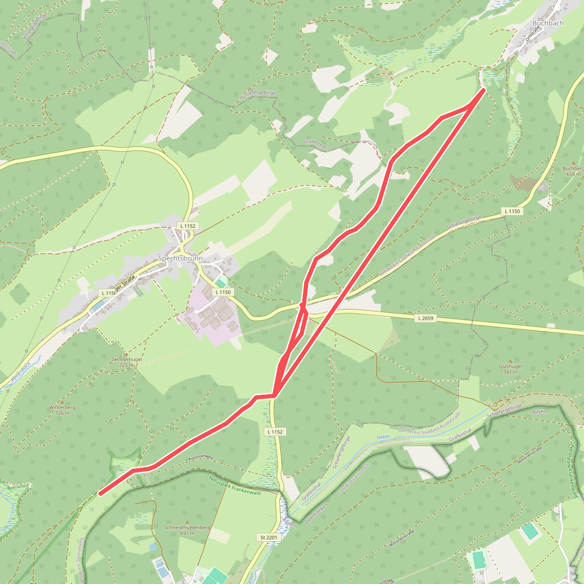
#3. Alte Heer- und Handelsstraße

#4. Altenberger See Rundwanderweg 1

#5. Alter Flößgraben

#6. Ameisenweg nach Oehrenstock

#7. Amts- und Apothekenweg

#8. Arlesberger Braunsteinweg

#9. Auf den Spuren des Schieferbergbaus

#10. Backofenloch-Rundweg

#11. Bad Tabarzer Vulkansteig - GEO Route 8





