


The best hiking routes in Noordhollands Duinreservaat
Discover the best walks in Noordhollands Duinreservaat. 103 routes on the map, with descriptions, photos and GPX.
Managed by N.V. PWN Waterleidingbedrijf Noord-Holland
About Noordhollands Duinreservaat
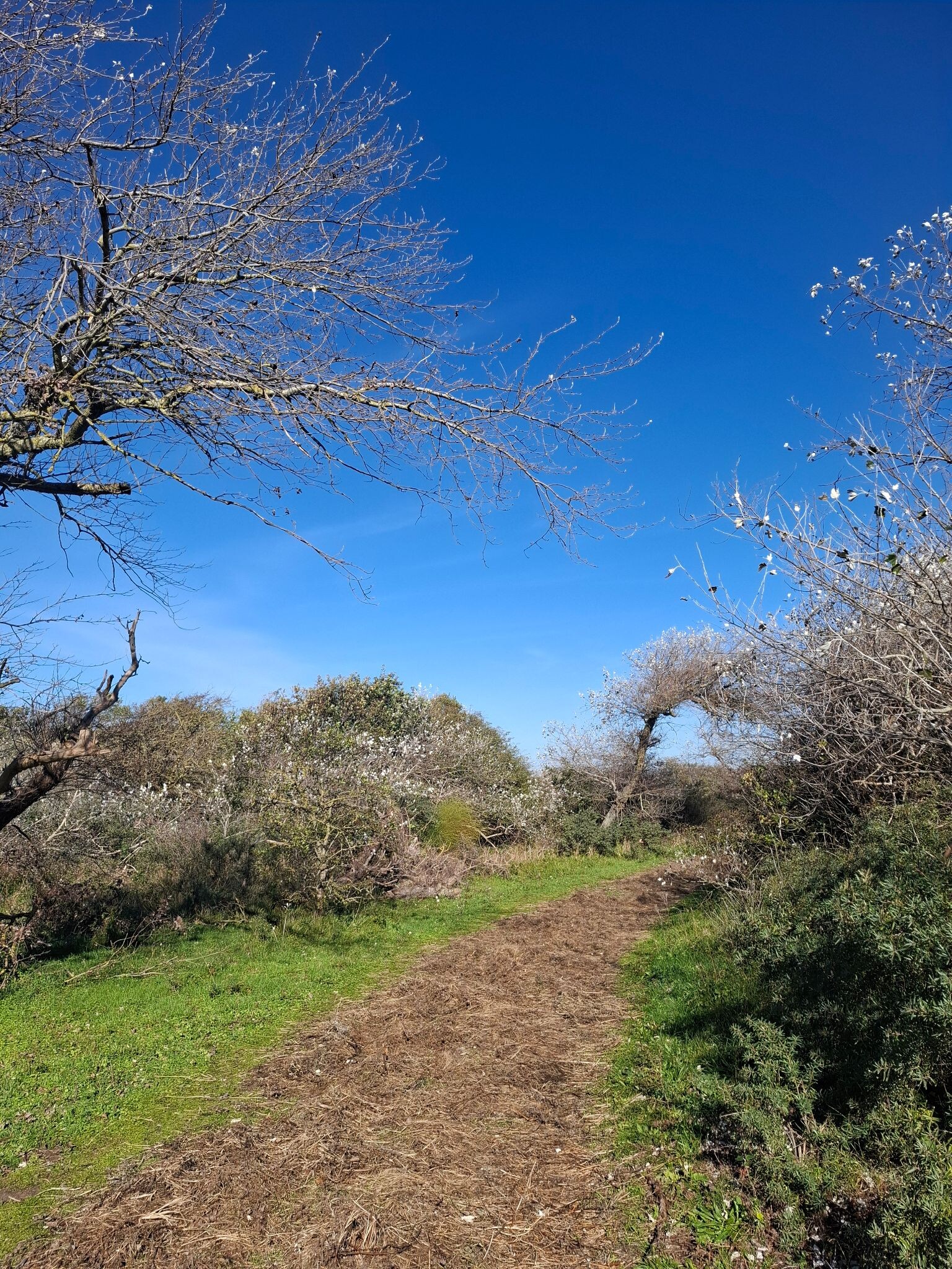
The Noordhollands Duinreservaat is a vast coastal strip of dunes where the landscape changes noticeably as you walk from the sea towards the inner margins. Near the coast, the terrain consists of high, dry sand dunes covered in marram grass, where the paths are mostly loose sand that requires physical effort. Further inland, the landscape transitions into older, decalcified dunes with dense shrubbery, oak copses, and pine plantations. Here, the walking tracks are firmer, often consisting of packed sand or shells, and the relief becomes more gently rolling rather than steep.
Read more
About Noordhollands Duinreservaat
The Noordhollands Duinreservaat is a vast coastal strip of dunes where the landscape changes noticeably as you walk from the sea towards the inner margins. Near the coast, the terrain consists of high, dry sand dunes covered in marram grass, where the paths are mostly loose sand that requires physical effort. Further inland, the landscape transitions into older, decalcified dunes with dense shrubbery, oak copses, and pine plantations. Here, the walking tracks are firmer, often consisting of packed sand or shells, and the relief becomes more gently rolling rather than steep.
Read moreThe Noordhollands Duinreservaat is a vast coastal strip of dunes where the landscape changes noticeably as you walk from the sea towards the inner margins. Near the coast, the terrain consists of high, dry sand dunes covered in marram grass, where the paths are mostly loose sand that requires physical effort. Further inland, the landscape transitions into older, decalcified dunes with dense shrubbery, oak copses, and pine plantations. Here, the walking tracks are firmer, often consisting of packed sand or shells, and the relief becomes more gently rolling rather than steep.
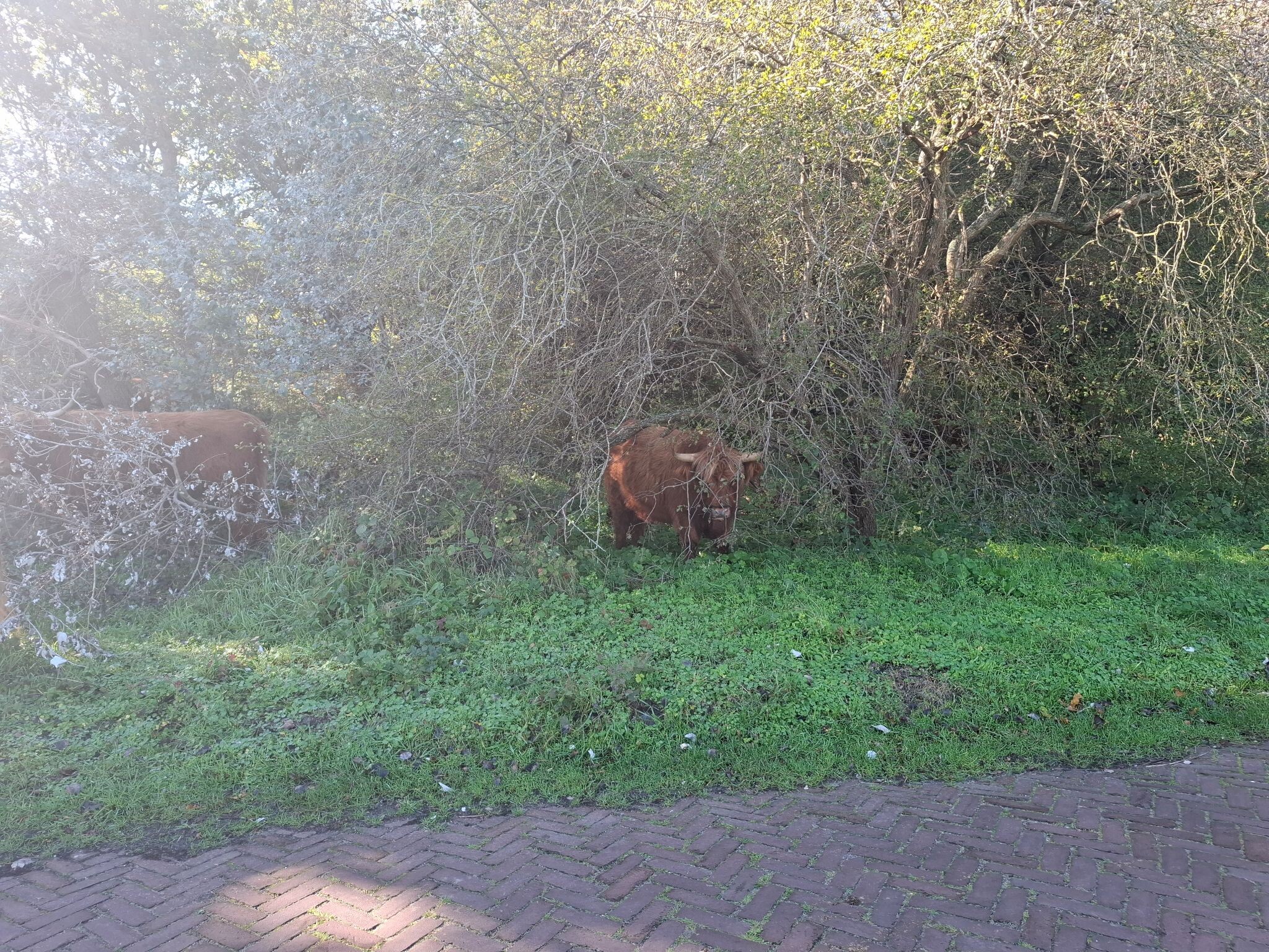
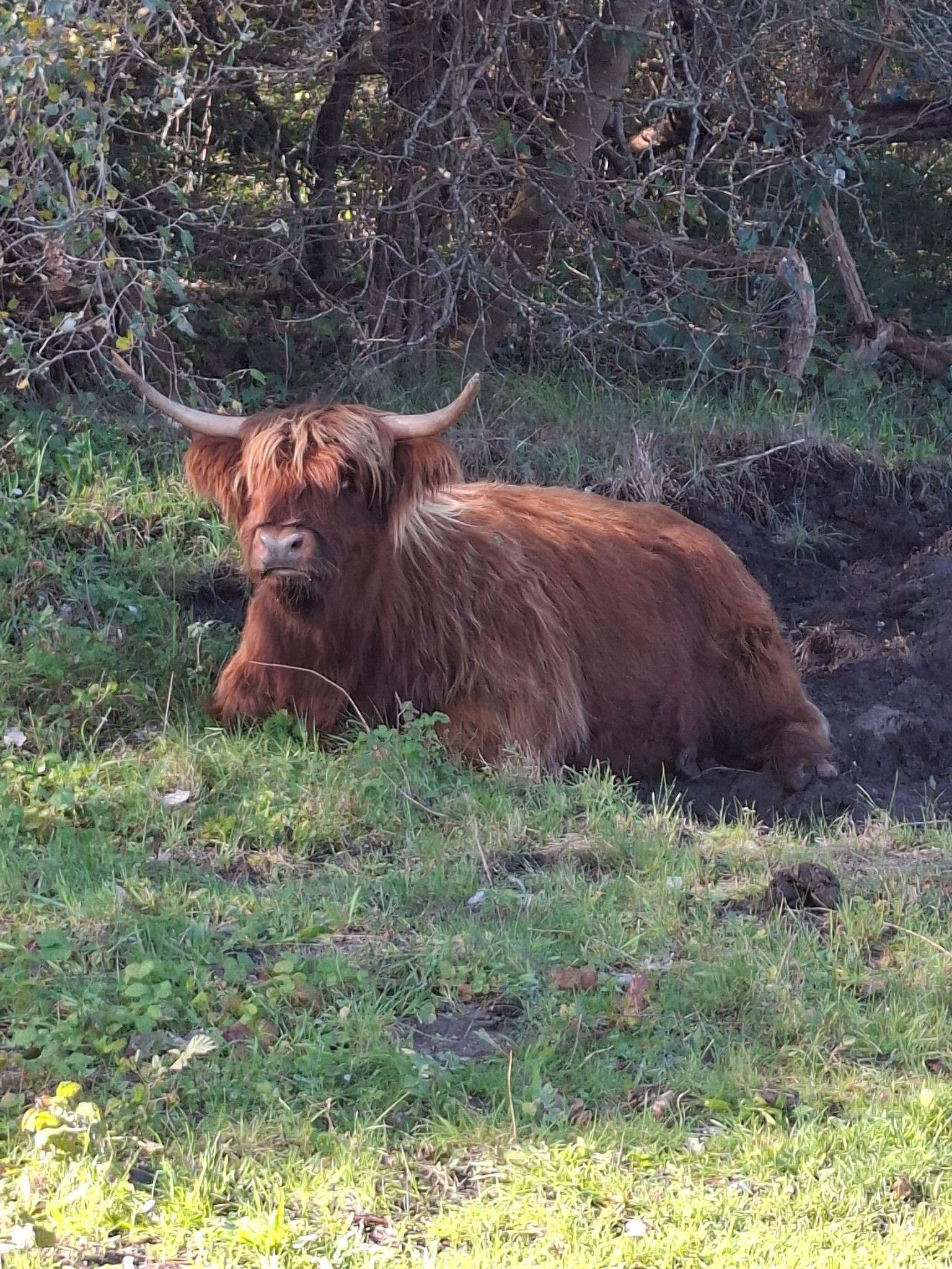
Water management shapes what you see along the paths. Because the area is used for drinking water extraction by PWN, you will regularly encounter artificial infiltration ponds and canals alongside natural wet dune slacks. These low-lying wet areas support different vegetation, such as creeping willow and parnassia, contrasting sharply with the dry, pine-covered ridges nearby. Grazing animals like Scottish Highland cattle and Konik horses are kept here to prevent the open dunes from becoming completely overgrown with scrub, and you are likely to encounter them on or near the trails.
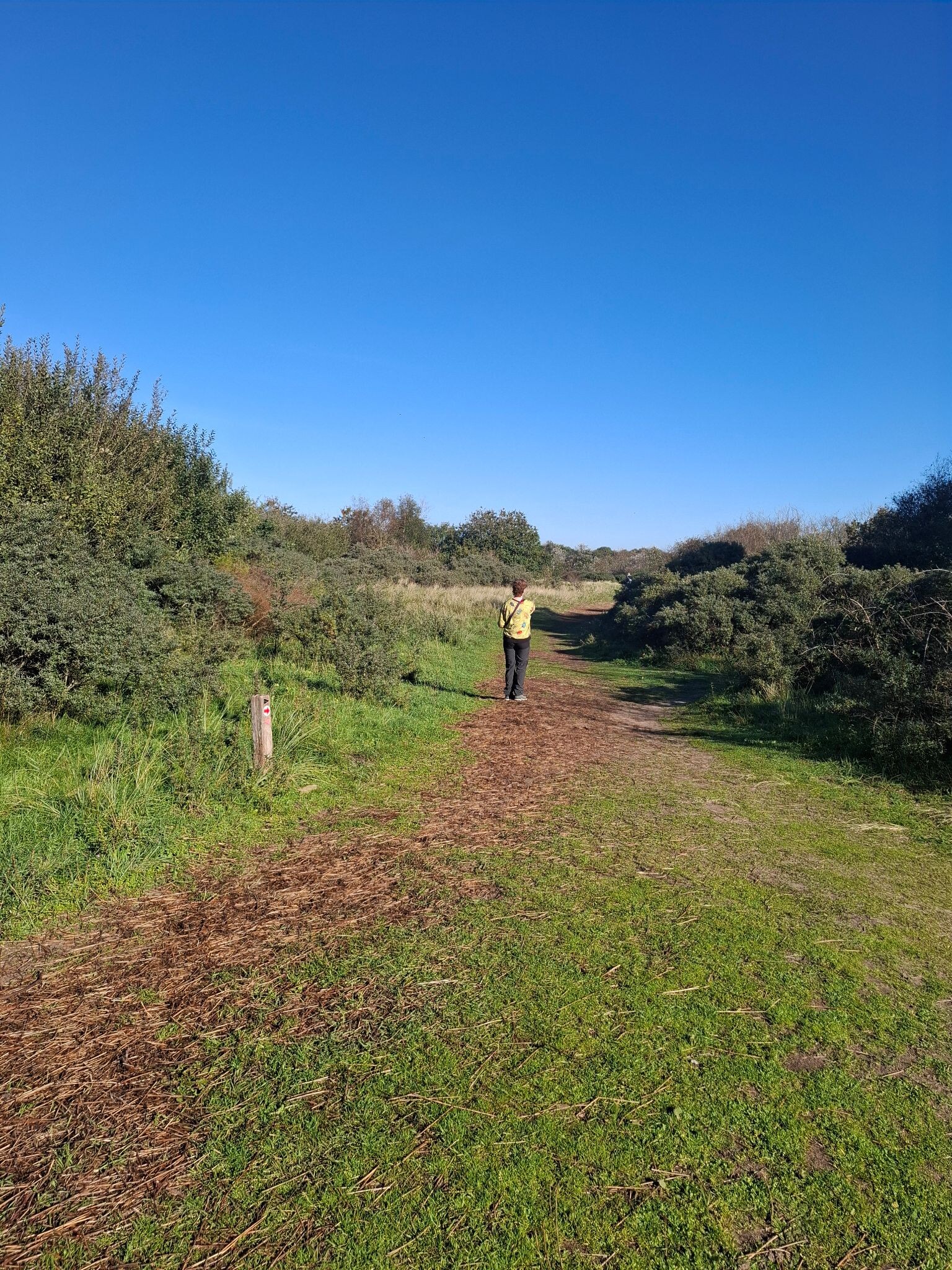
This is a managed, accessible reserve rather than a wild, untouched wilderness. A network of marked trails, paved bicycle paths, and sandy bridleways crisscrosses the area, meaning you will often share the wider valleys with cyclists. While the outer edges near coastal resort access points can be busy, the deeper pine forests and inner dune edges offer a quieter, more enclosed walking experience. Access requires a PWN dune card, which can be purchased at the main entry machines.
Hiking routes in Noordhollands Duinreservaat (103)


#1. Egmond aan Zee - Groet · Nederlands Kustpad 2 etappe 9
Groet,Schoorl,Bergen (NH),Bergen aan Zee,Egmond aan den Hoef,Egmond aan Zee

#2. Geversduinroute (duinroute van PWN)
Heemskerk,Castricum

#3. Groene route vanaf startpunt Bergen Centrum
Bergen (NH)


#4. Wijk aan Zee - Egmond aan Zee · Nederlands Kustpad 2 etappe 8
Egmond aan Zee,Egmond-Binnen,Castricum,Heemskerk,Wijk aan Zee


#5. Bergen aan Zee - Alkmaar · Trekvogelpad etappe 1
Bergen aan Zee,Bergen,Egmond aan den Hoef,Heiloo,Alkmaar


#6. De beschutte ronde (duinroute van PWN)
Castricum,Heemskerk


#7. Weid van Brasser (duinroute van PWN, rode driehoek)
Castricum,Egmond-Binnen

#8. Blauwe route vanaf startpunt Groeneweg
Bergen (NH)

#9. Albertdalpad (duinroute van PWN)
Egmond aan Zee,Egmond-Binnen,Egmond aan den Hoef


#10. Bergen aan Zee
Bergen,Schoorl


#11. Bergen aan Zee - Schoorl · Groot Frieslandpad etappe 1
Schoorl,Bergen (NH),Bergen aan Zee

#12. Bergen aan Zee wandelen
Bergen aan Zee,Egmond aan den Hoef,Bergen (NH)




