


The best hiking routes in Oostelijke Vechtplassen
Discover the best walks in Oostelijke Vechtplassen. 52 routes on the map, with descriptions, photos and GPX.
Managed by Staatsbosbeheer;Natuurmonumenten;Rijkswaterstaat


About Oostelijke Vechtplassen
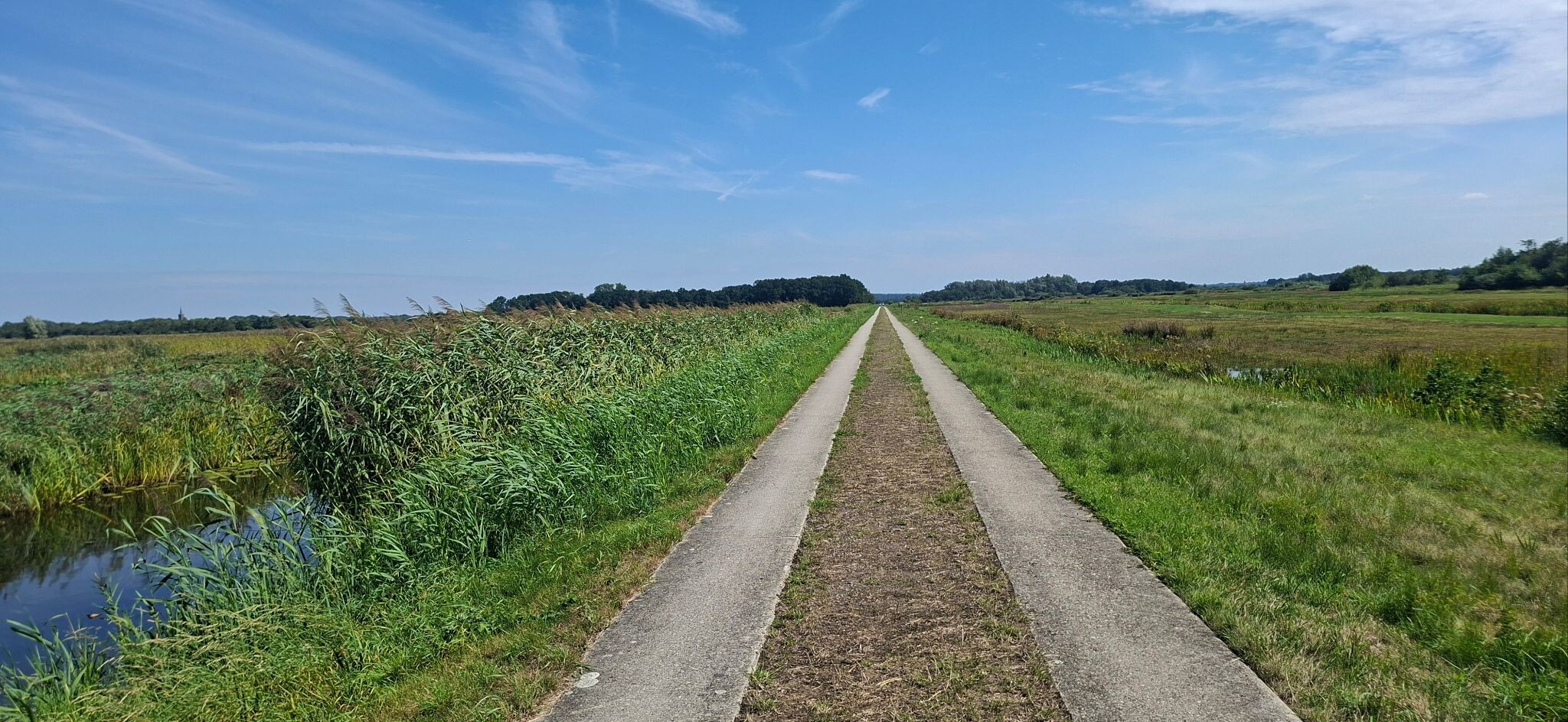
The Oostelijke Vechtplassen is a low-lying landscape shaped entirely by historical peat extraction, resulting in a distinct pattern of long, narrow water strips and thin ridges of land. Walking here means navigating a watery maze where the ground underfoot transitions between damp grassy dikes, unpaved towpaths, and occasional wooden boardwalks. It is a flat, water-dominated environment where you are constantly flanked by reedbeds, swamp forests, and open pools, rather than dry sandy tracks or rolling hills.
Read more
About Oostelijke Vechtplassen
The Oostelijke Vechtplassen is a low-lying landscape shaped entirely by historical peat extraction, resulting in a distinct pattern of long, narrow water strips and thin ridges of land. Walking here means navigating a watery maze where the ground underfoot transitions between damp grassy dikes, unpaved towpaths, and occasional wooden boardwalks. It is a flat, water-dominated environment where you are constantly flanked by reedbeds, swamp forests, and open pools, rather than dry sandy tracks or rolling hills.
Read moreThe Oostelijke Vechtplassen is a low-lying landscape shaped entirely by historical peat extraction, resulting in a distinct pattern of long, narrow water strips and thin ridges of land. Walking here means navigating a watery maze where the ground underfoot transitions between damp grassy dikes, unpaved towpaths, and occasional wooden boardwalks. It is a flat, water-dominated environment where you are constantly flanked by reedbeds, swamp forests, and open pools, rather than dry sandy tracks or rolling hills.
Because the land was dredged for peat, the remaining strips of ground are narrow and fragile. On the path, you will notice how the vegetation changes from dense alder carrs to open fens where water lilies clog the channels. This is a highly managed wetland where water levels are carefully controlled, meaning you will often walk alongside drainage ditches, small locks, and historical windmills that keep the surrounding polders dry.
This area is best suited for those who enjoy flat, linear waterside walking and birdwatching, as the reedbeds are home to numerous wetland species. It does not offer deep forest cover or expansive dry heathlands. While some paved cycle paths run through the area, the unpaved walking trails can feel enclosed by high reeds, offering a close-up view of freshwater ecology rather than wide, dry vistas.
Hiking routes in Oostelijke Vechtplassen (52)

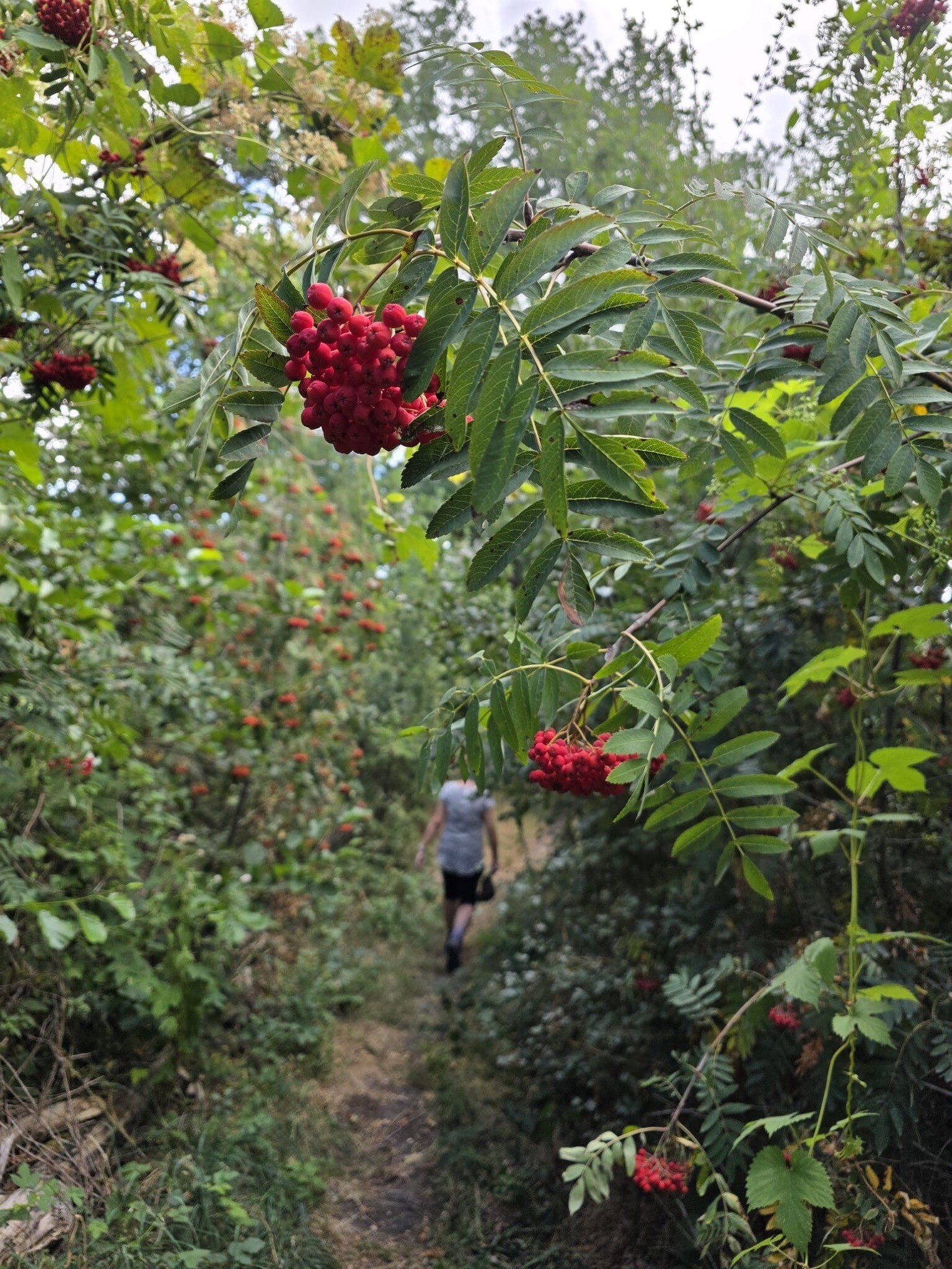
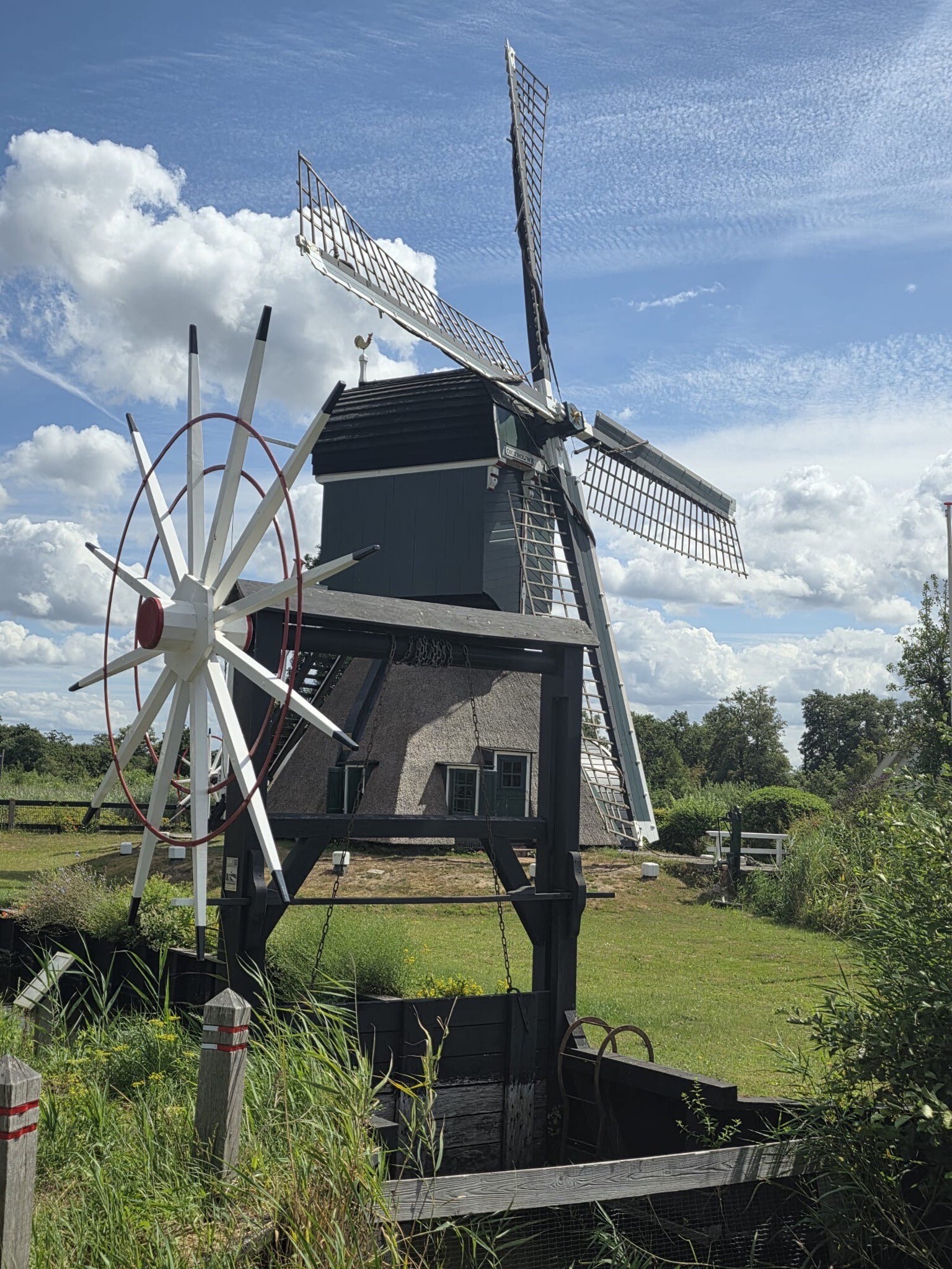
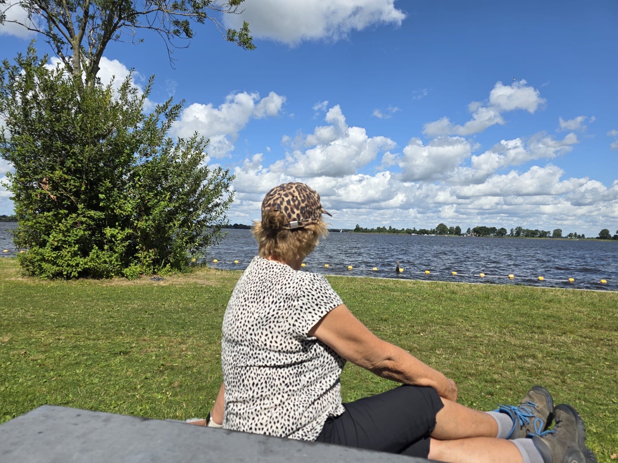
#1. Maartensdijk - Breukelen · Marskramerpad etappe 15
Breukelen,Tienhoven,Hilversum,Hollandsche Rading,Maartensdijk

#2. Rondje Vreeland-Loenen
Loenen aan de Vecht

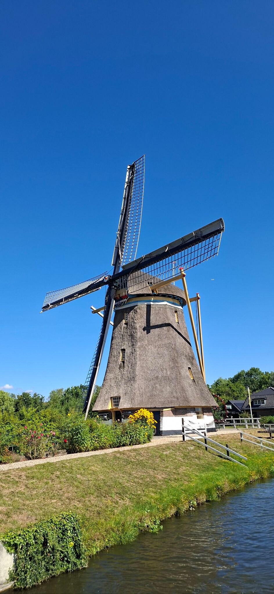
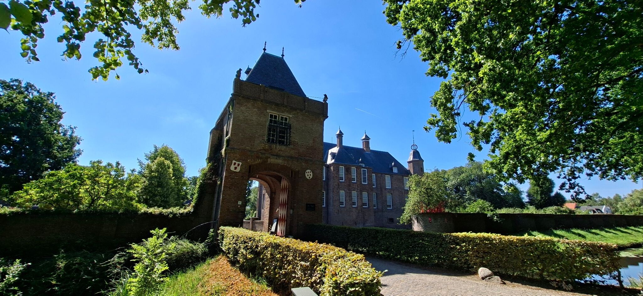
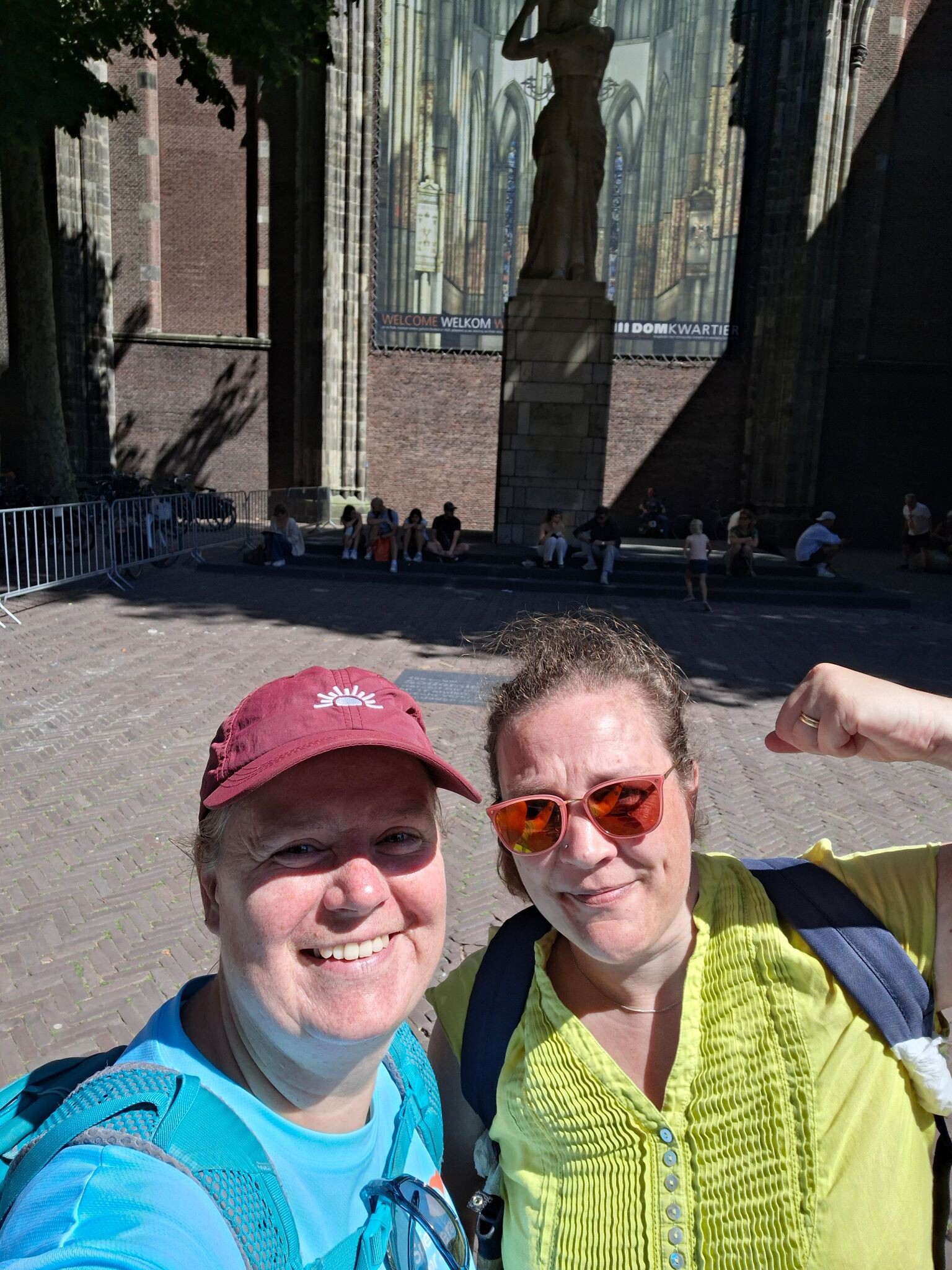
#3. Maarssen - Utrecht · Utrechtpad etappe 11
Maarssen,Oud Zuilen,Utrecht


#4. Abcoude - Weesp · Waterliniepad etappe 8
Weesp,Nigtevecht,Abcoude

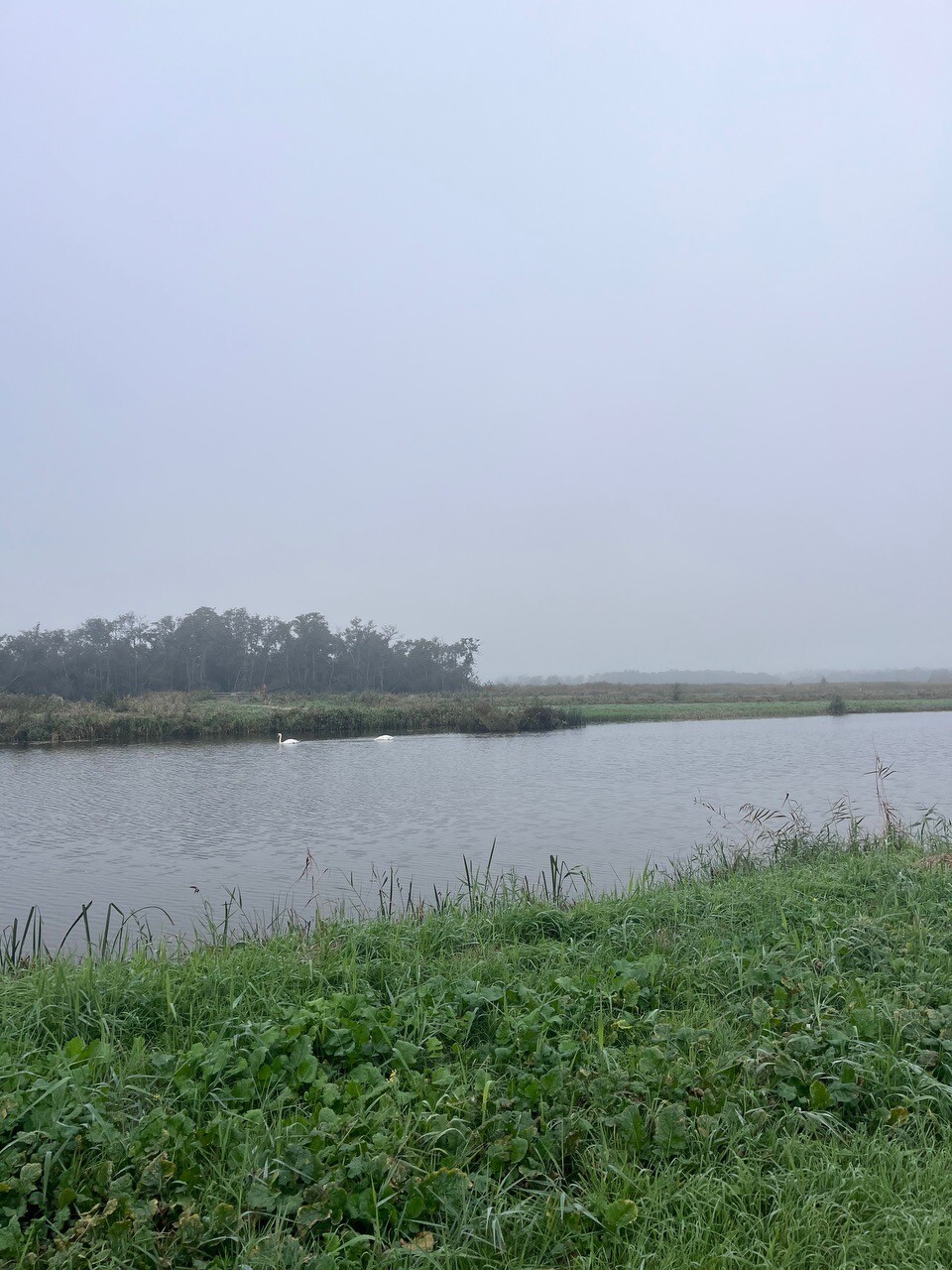
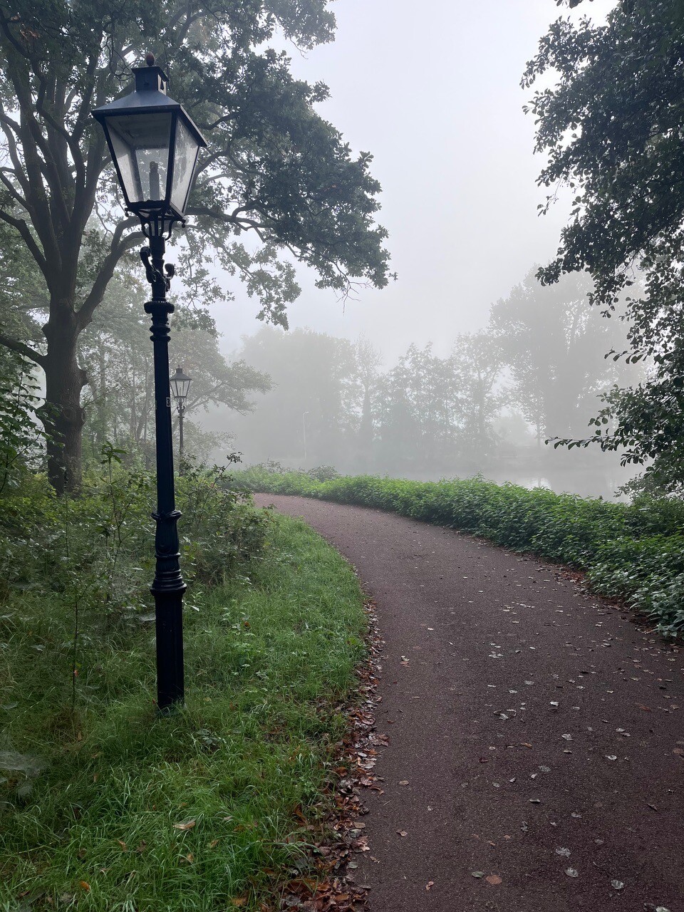
#5. Stationswandeling Utrecht Overvecht – Hollandse Rading
Utrecht,Westbroek,Maartensdijk,Hilversum

#6. Hardlooproute Vredevoetpad
Tienhoven


#7. Loenen a.d. Vecht - Utrecht · Jacobsweg Amstelredam etappe 6
Loenen aan de Vecht,Nieuwersluis,Breukelen,Tienhoven,Maarssen,Oud Zuilen,Utrecht


#8. Kortenhoef - Nieuwer ter Aa · Floris V-pad etappe 3
Nieuwersluis,Loenen aan de Vecht,Vreeland,Kortenhoef,Loosdrecht,Hilversum,'s-Graveland

#9. Stationswandeling Utrecht Zuilen – Maarssen
Utrecht,Maarssen,Tienhoven


#10. Utrecht - Amersfoort · Gelukkigerwijspad etappe 6
Amersfoort,Soest,Den Dolder,Bosch en Duin,De Bilt,Bilthoven,Utrecht

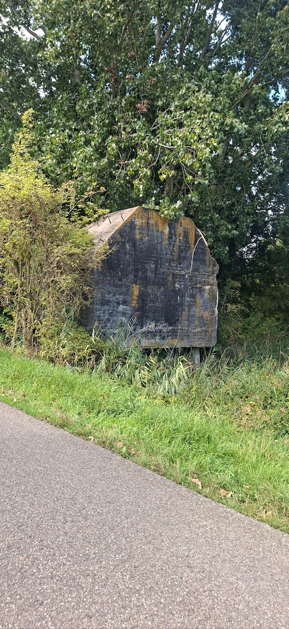
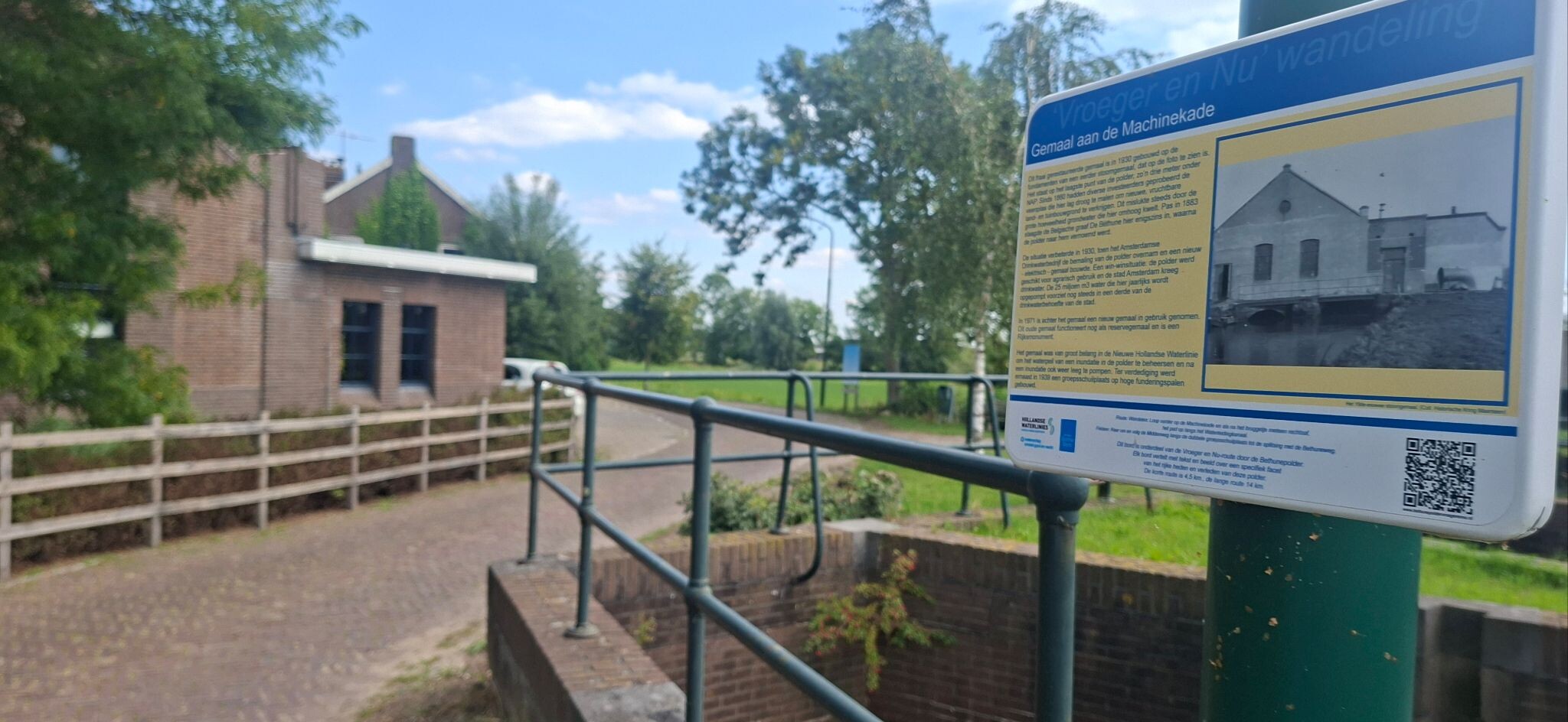
#11. Hollandse Rading - Maarssen · Utrechtpad etappe 10
Hilversum,Hollandsche Rading,Tienhoven,Maarssen


#12. Abcoude - 's Graveland · Noord-Hollandpad etappe 15
Kortenhoef,Ankeveen,Nederhorst den Berg,Vreeland,Nigtevecht,Abcoude,Amsterdam




