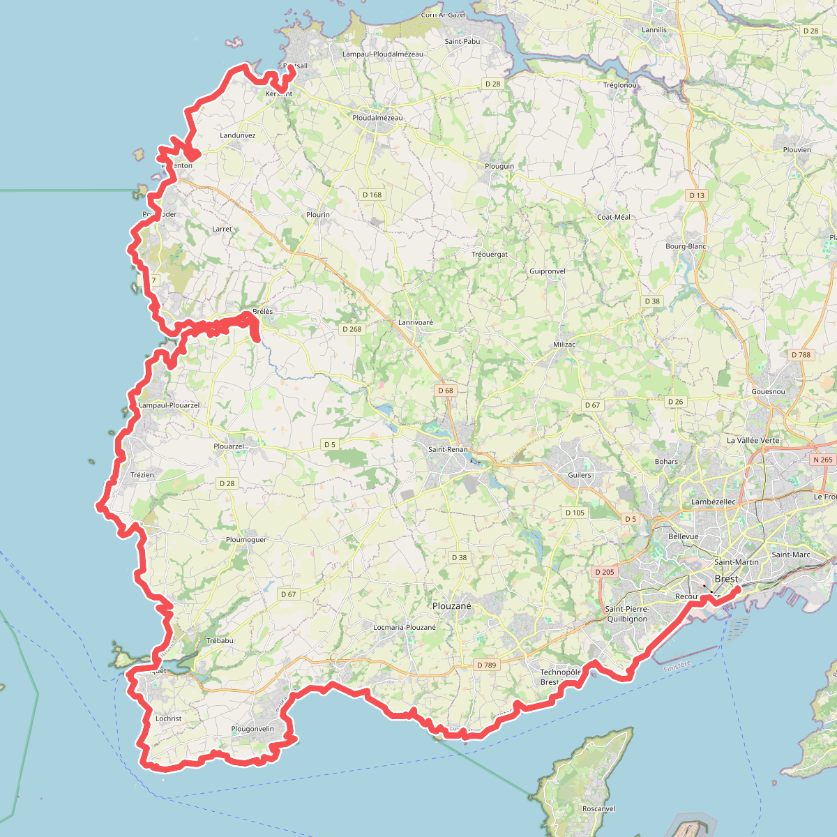
The best hiking routes in Parc naturel régional d'Armorique
Discover the best walks in Parc naturel régional d'Armorique. 59 routes on the map, with descriptions, photos and GPX.
About Parc naturel régional d'Armorique
The Parc naturel régional d'Armorique presents two distinct walking environments: the rugged, sea-battered coastline of the Crozon Peninsula and the inland ridge of the Monts d'Arrée. Walking here does not involve high alpine peaks; instead, you will encounter a gently rolling, ancient landscape of exposed quartzite crags, sweeping peat bogs, and Atlantic heathland. Underfoot, the coastal paths consist of narrow, stony tracks winding through low gorse and heather, while the inland ridges feature damp, peaty soil that can feel spongy, occasionally requiring boardwalks over the wettest sections.
Read more
About Parc naturel régional d'Armorique
The Parc naturel régional d'Armorique presents two distinct walking environments: the rugged, sea-battered coastline of the Crozon Peninsula and the inland ridge of the Monts d'Arrée. Walking here does not involve high alpine peaks; instead, you will encounter a gently rolling, ancient landscape of exposed quartzite crags, sweeping peat bogs, and Atlantic heathland. Underfoot, the coastal paths consist of narrow, stony tracks winding through low gorse and heather, while the inland ridges feature damp, peaty soil that can feel spongy, occasionally requiring boardwalks over the wettest sections.
Read moreThe Parc naturel régional d'Armorique presents two distinct walking environments: the rugged, sea-battered coastline of the Crozon Peninsula and the inland ridge of the Monts d'Arrée. Walking here does not involve high alpine peaks; instead, you will encounter a gently rolling, ancient landscape of exposed quartzite crags, sweeping peat bogs, and Atlantic heathland. Underfoot, the coastal paths consist of narrow, stony tracks winding through low gorse and heather, while the inland ridges feature damp, peaty soil that can feel spongy, occasionally requiring boardwalks over the wettest sections.
On the coast, the landscape is defined by sheer cliffs dropping into the Atlantic, where the maritime heath turns vibrant yellow and purple in August. Inland, the Monts d'Arrée offer a stark contrast, dominated by vast, open moorland and rocky outcrops known as rocs. The lack of forest cover means the terrain is highly exposed, with low-growing vegetation shaped by the coastal climate. This is a working landscape where traditional sheep grazing still maintains the open character of the heath.
For those seeking dramatic coastal views, the cliff paths around Cap de la Chèvre are well-known and can be busier during the summer months. In contrast, the inland trails near Mont Saint-Michel de Brasparts offer a quieter, more austere walking experience. Whichever area you choose, expect uneven ground, exposed roots, and loose stones rather than paved promenades.
Hiking routes in Parc naturel régional d'Armorique (59)
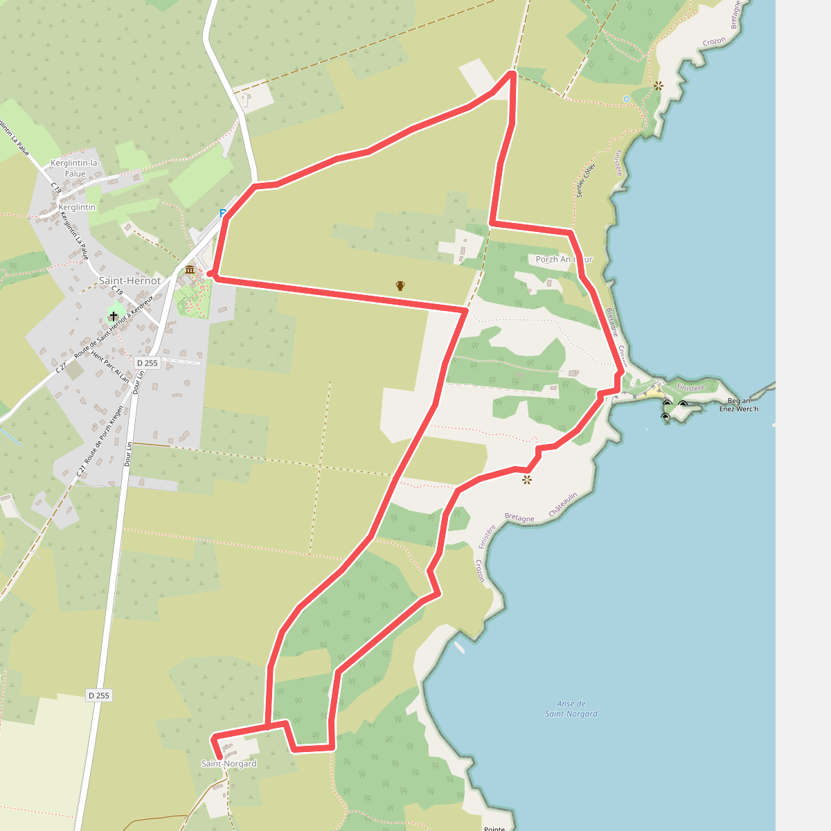
#1. Balade Sonore de l'Île Vierge
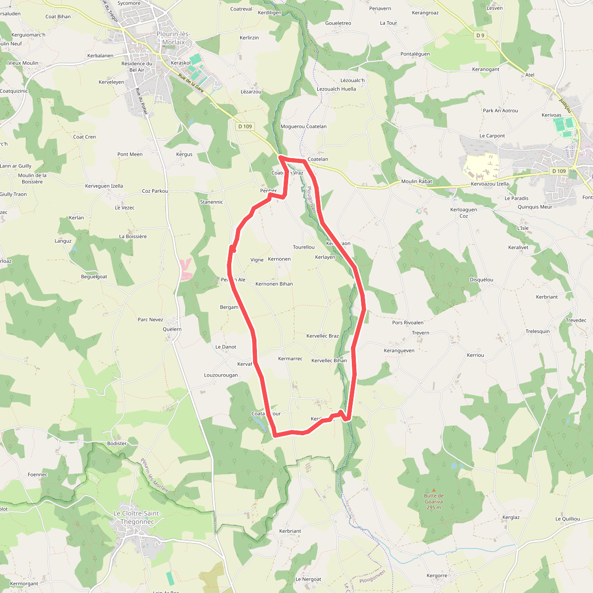
#2. Boucle de Coatanscour
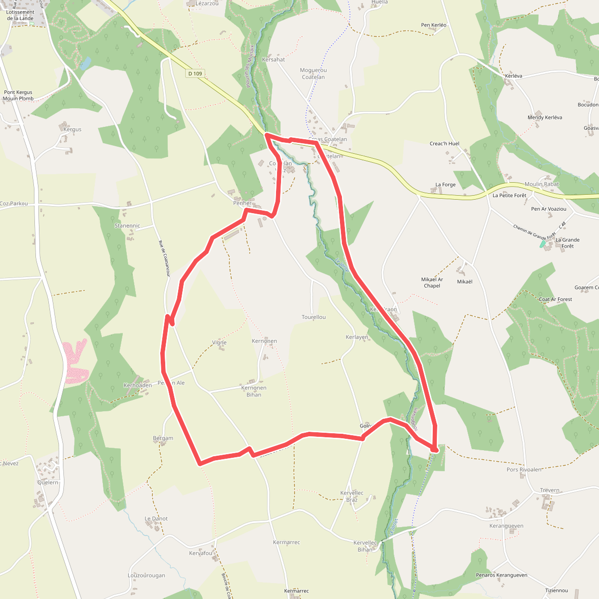
#3. Boucle de Golodic
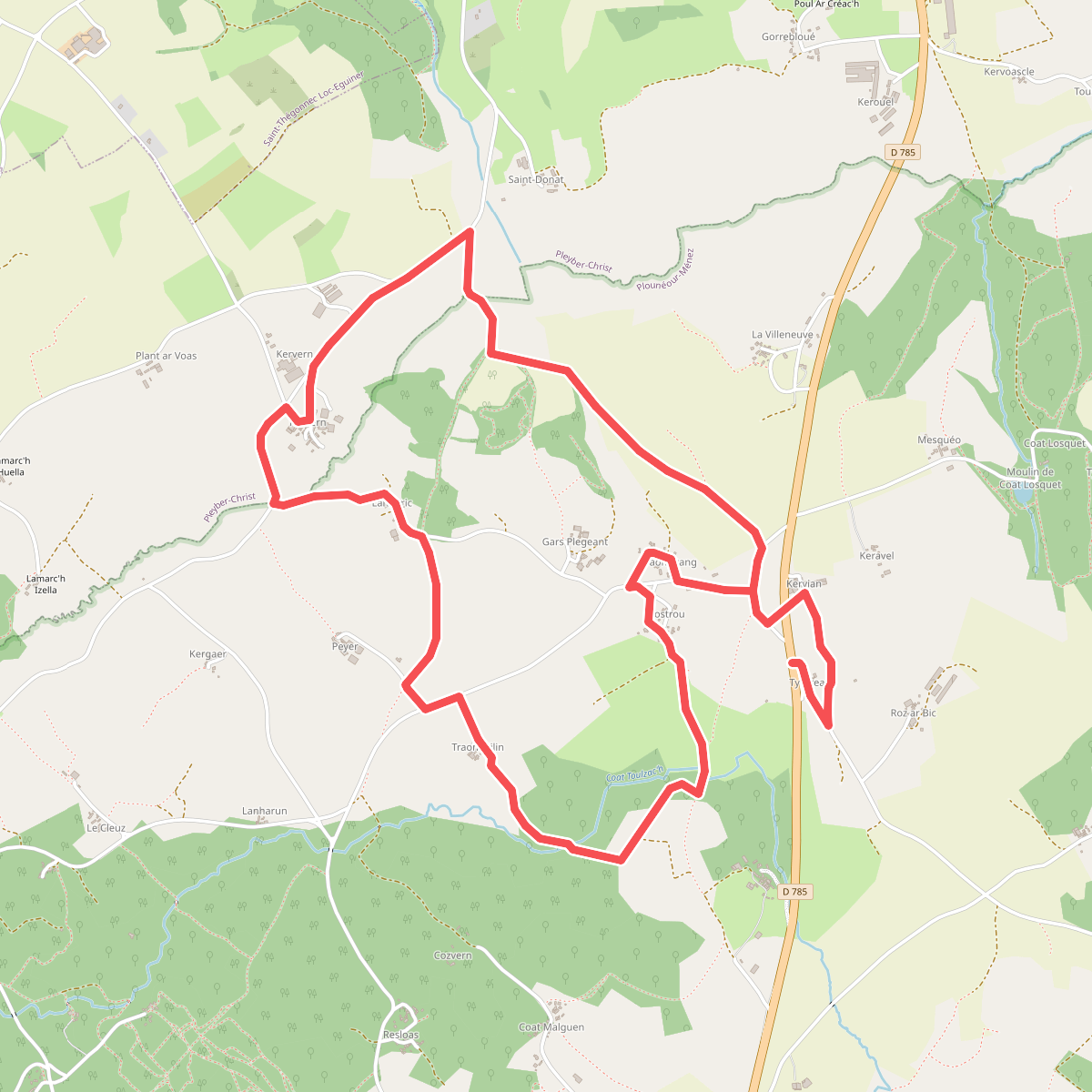
#4. Boucle des Maisons Anglaises
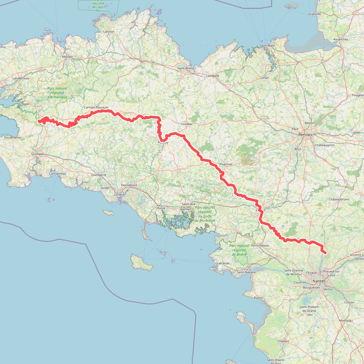
#5. Chemin de Halage du Canal de Nantes à Brest
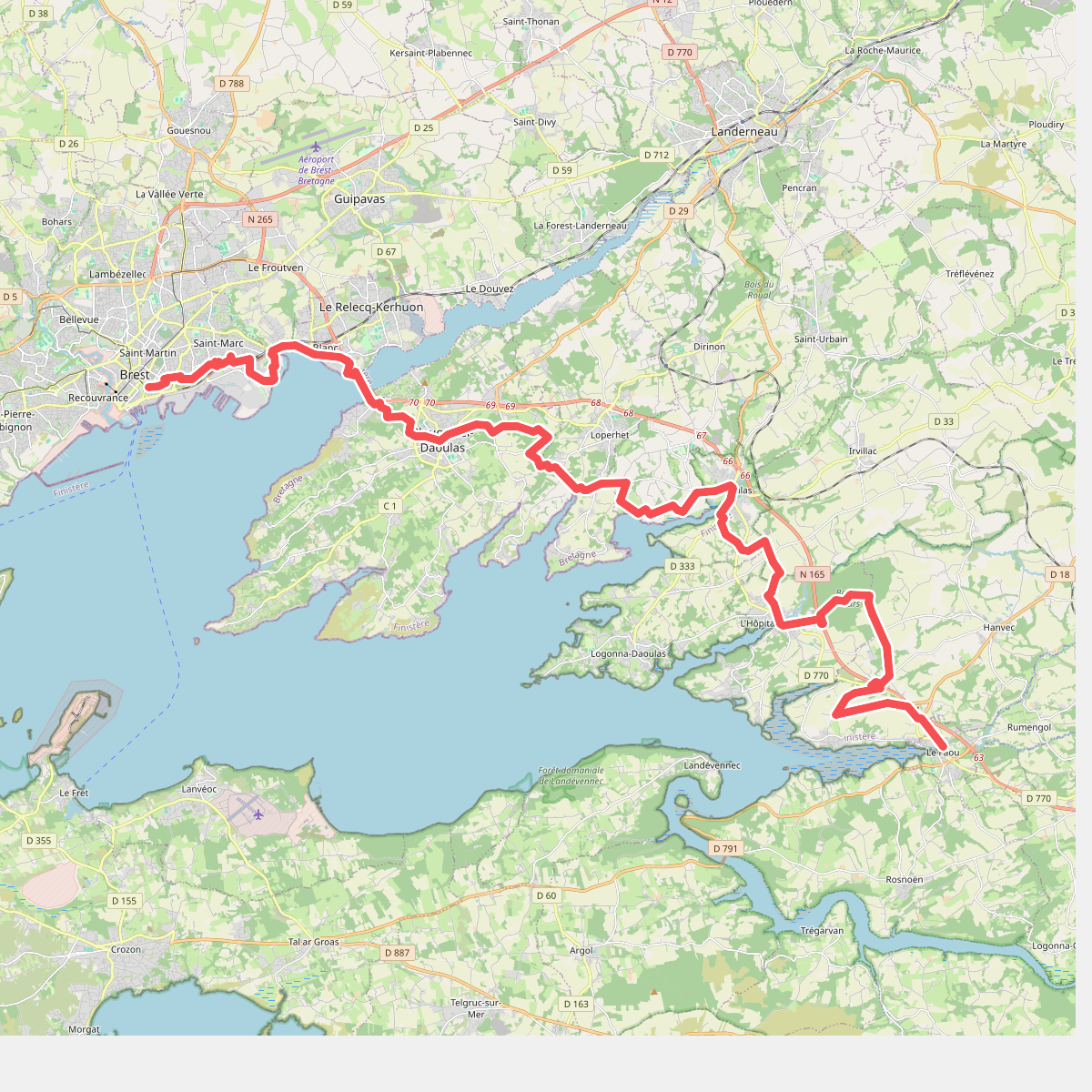
#6. Chemin des Douaniers, Brest - Le Faou
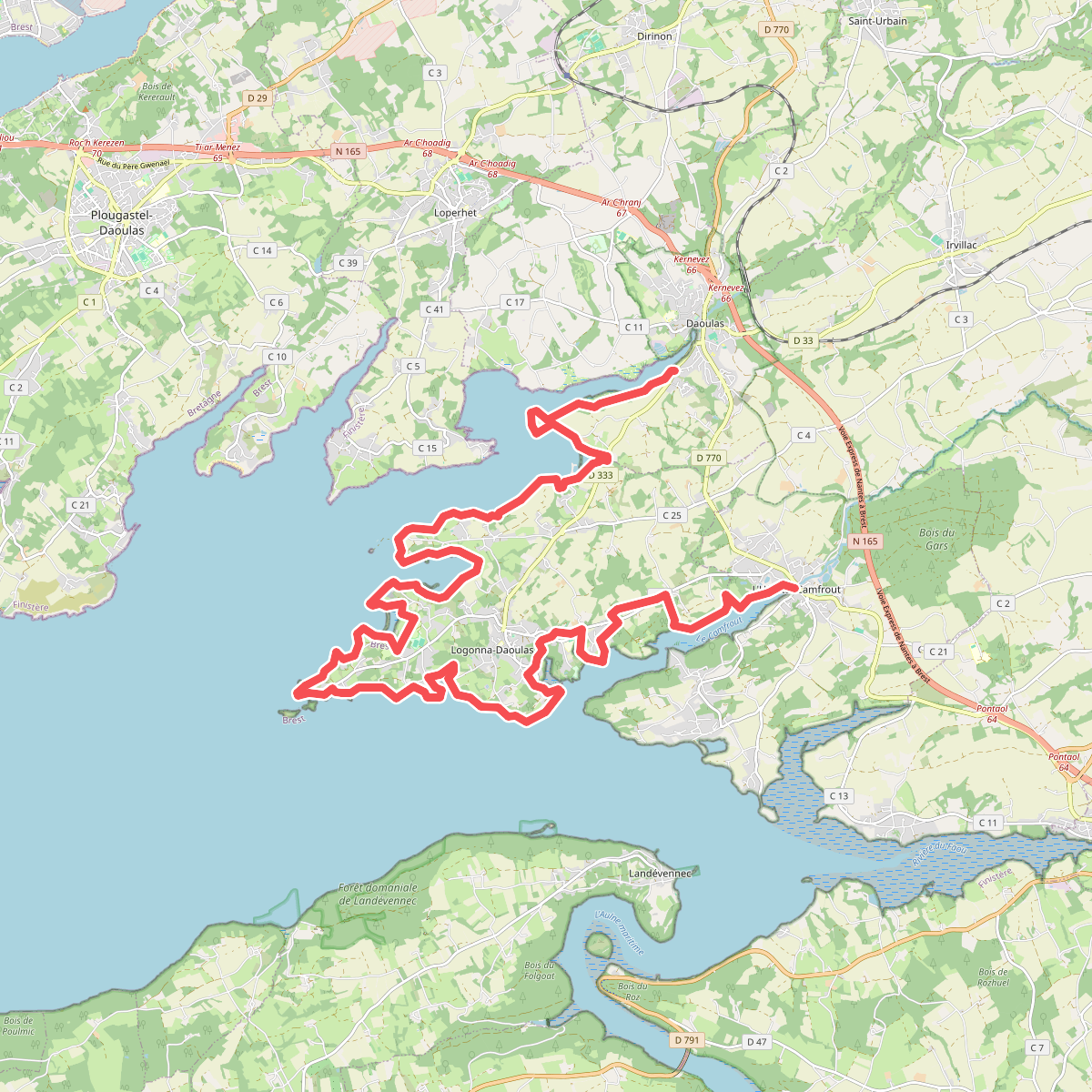
#7. Chemin des Douaniers, Brest - Le Faou, variante côtière
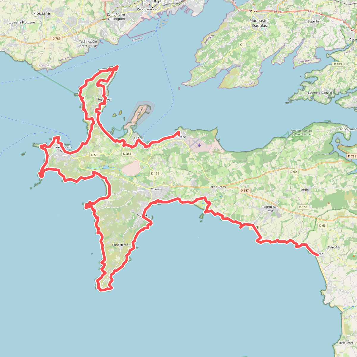
#8. Chemin des Douaniers, Lanvéoc - Pentrez
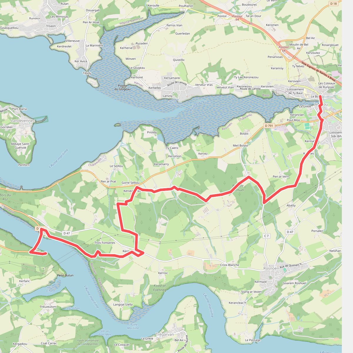
#9. Chemin des Douaniers, Le Faou - Marros
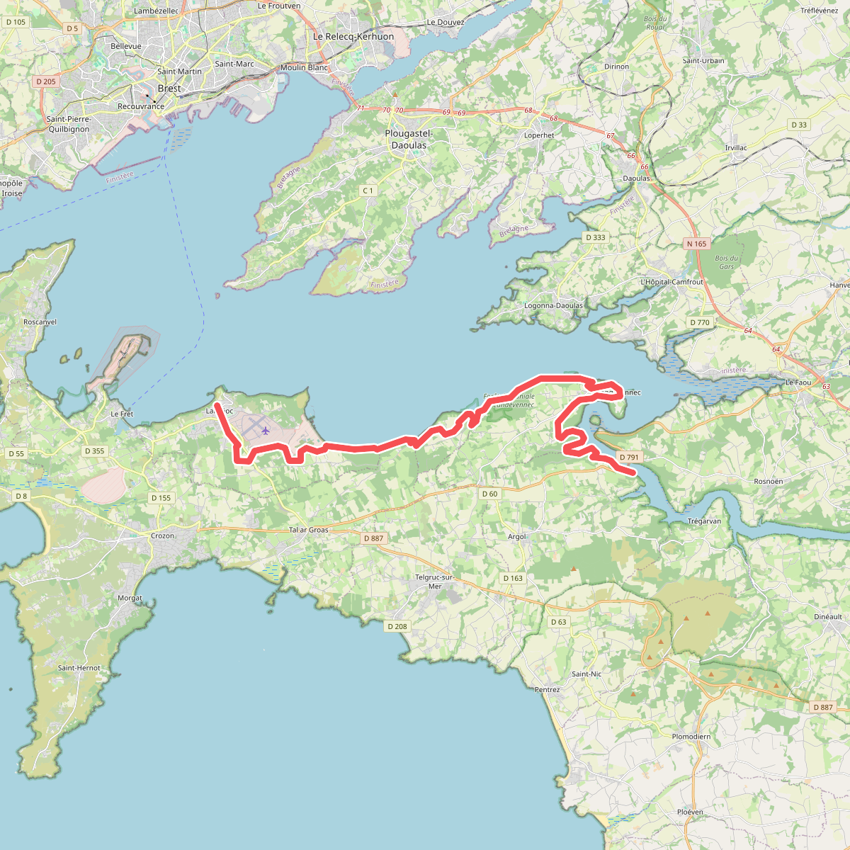
#10. Chemin des Douaniers, Marros - Lanvéoc
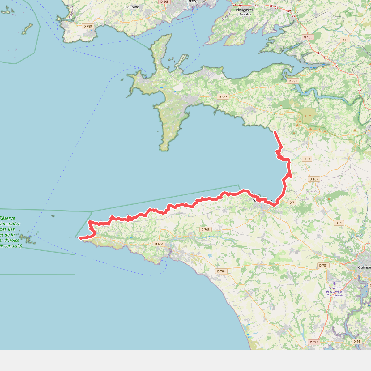
#11. Chemin des Douaniers, Pentrez - Pointe du Raz