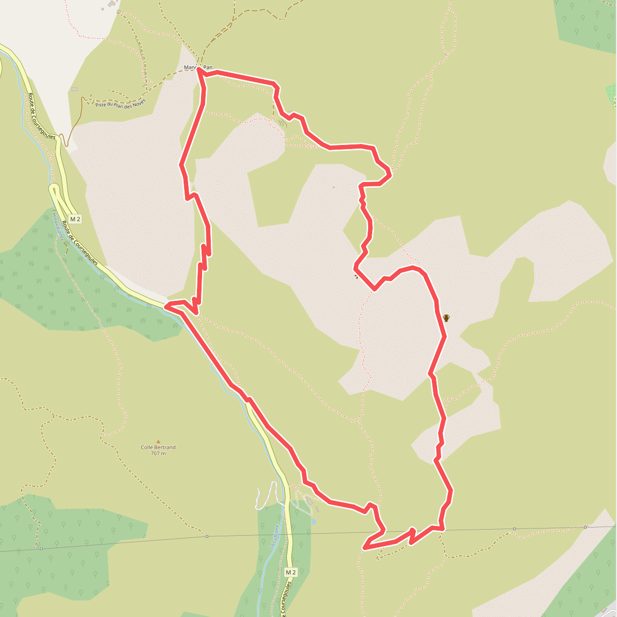
The best hiking routes in Parc naturel régional des Préalpes d'Azur
Discover the best walks in Parc naturel régional des Préalpes d'Azur. 62 routes on the map, with descriptions, photos and GPX.
About Parc naturel régional des Préalpes d'Azur
The Parc naturel régional des Préalpes d'Azur presents a stark, limestone-dominated landscape that rises sharply behind the French Riviera. Unlike the damp, forested valleys of the high Alps further north, this regional park is defined by arid karst plateaus, known locally as baous and plans, which are cut by deep, sheer-sided gorges like the Gorges du Loup. Walking here means navigating a mix of exposed, stony tracks, scrubby garrigue, and pockets of dry oak and pine woodland. The terrain is highly porous; water disappears quickly underground, leaving the high surfaces dry and rocky underfoot while feeding springs and rivers in the canyon floors below.
Read more
About Parc naturel régional des Préalpes d'Azur
The Parc naturel régional des Préalpes d'Azur presents a stark, limestone-dominated landscape that rises sharply behind the French Riviera. Unlike the damp, forested valleys of the high Alps further north, this regional park is defined by arid karst plateaus, known locally as baous and plans, which are cut by deep, sheer-sided gorges like the Gorges du Loup. Walking here means navigating a mix of exposed, stony tracks, scrubby garrigue, and pockets of dry oak and pine woodland. The terrain is highly porous; water disappears quickly underground, leaving the high surfaces dry and rocky underfoot while feeding springs and rivers in the canyon floors below.
Read moreThe Parc naturel régional des Préalpes d'Azur presents a stark, limestone-dominated landscape that rises sharply behind the French Riviera. Unlike the damp, forested valleys of the high Alps further north, this regional park is defined by arid karst plateaus, known locally as baous and plans, which are cut by deep, sheer-sided gorges like the Gorges du Loup. Walking here means navigating a mix of exposed, stony tracks, scrubby garrigue, and pockets of dry oak and pine woodland. The terrain is highly porous; water disappears quickly underground, leaving the high surfaces dry and rocky underfoot while feeding springs and rivers in the canyon floors below.
Underfoot, the paths are predominantly rough, loose limestone scree and uneven rock shelves that require sturdy footwear. On the higher plateaus, such as the Plateau de Calern, the landscape has a bare, almost lunar appearance, shaped by dissolution weathering that has created sinkholes and limestone pavements. In contrast, the lower valleys and shaded northern slopes offer softer, earthen paths through denser woodland where boxwood and beech trees grow. You will not find high, snow-capped peaks or lush, alpine meadows here; instead, the landscape is one of rugged, sun-baked terraces and scrubby hillsides.
In May and June, the dry grasslands of the plateaus show a brief, intense burst of wild orchids and mountain flora before the summer heat dries the vegetation. The park is generally quieter than the coastal strip just a few kilometres south, though well-known natural features like the underground cave system of Saint-Cézaire and the popular river access points in the lower gorges attract more visitors. For walkers, the area offers a demanding, dry hiking environment where route-finding requires attention due to the labyrinthine nature of the limestone formations.
Hiking routes in Parc naturel régional des Préalpes d'Azur (62)
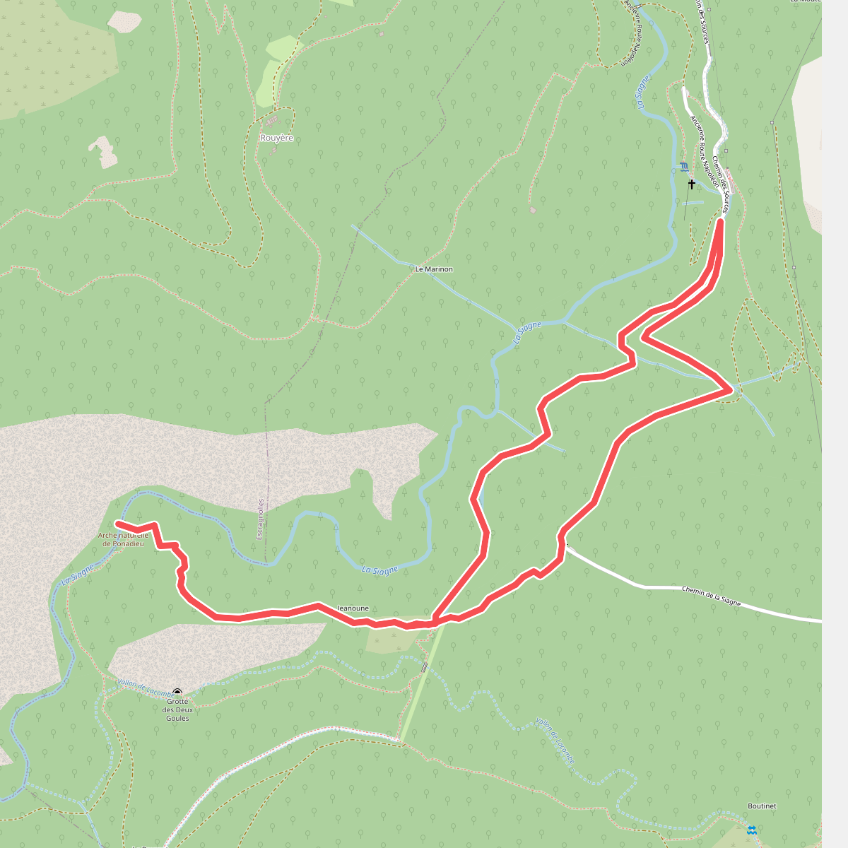
#1. Arche du Ponadieu
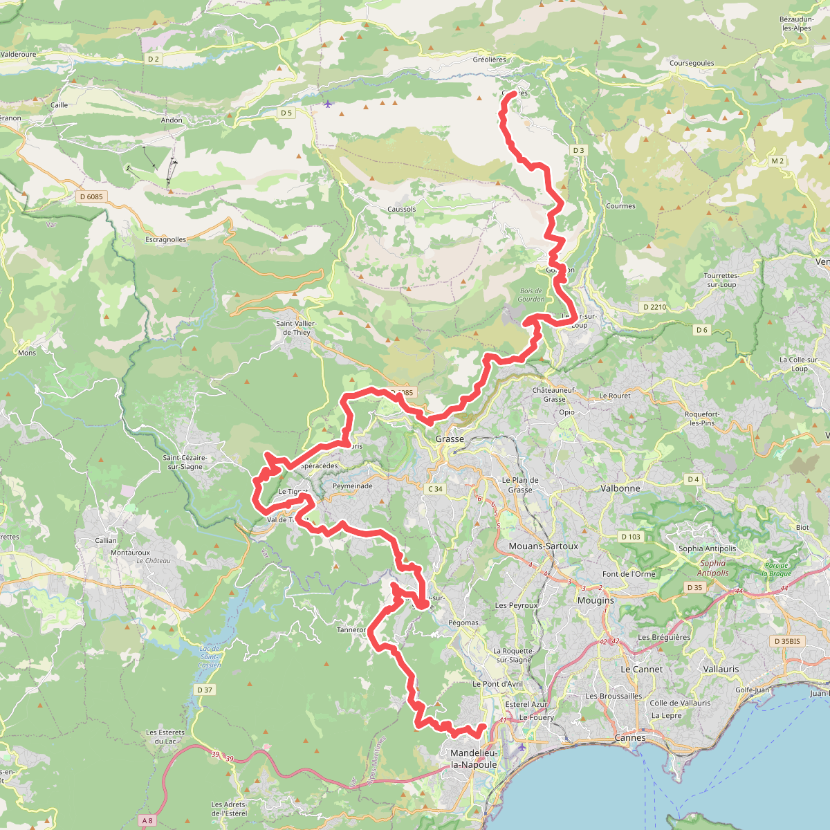
#2. Balcons de la Méditerranée · relation 15966600
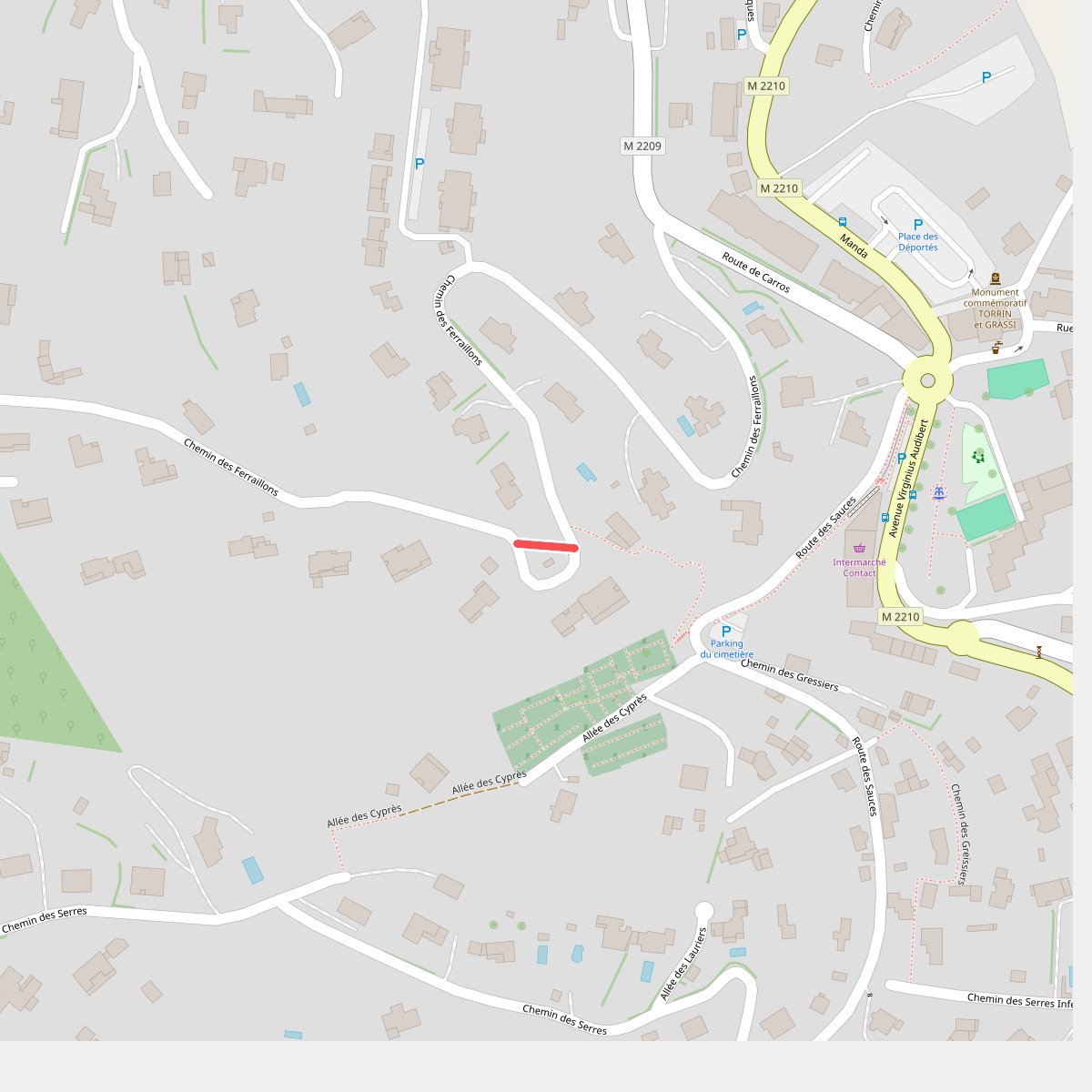
#3. Baou de la Gaude
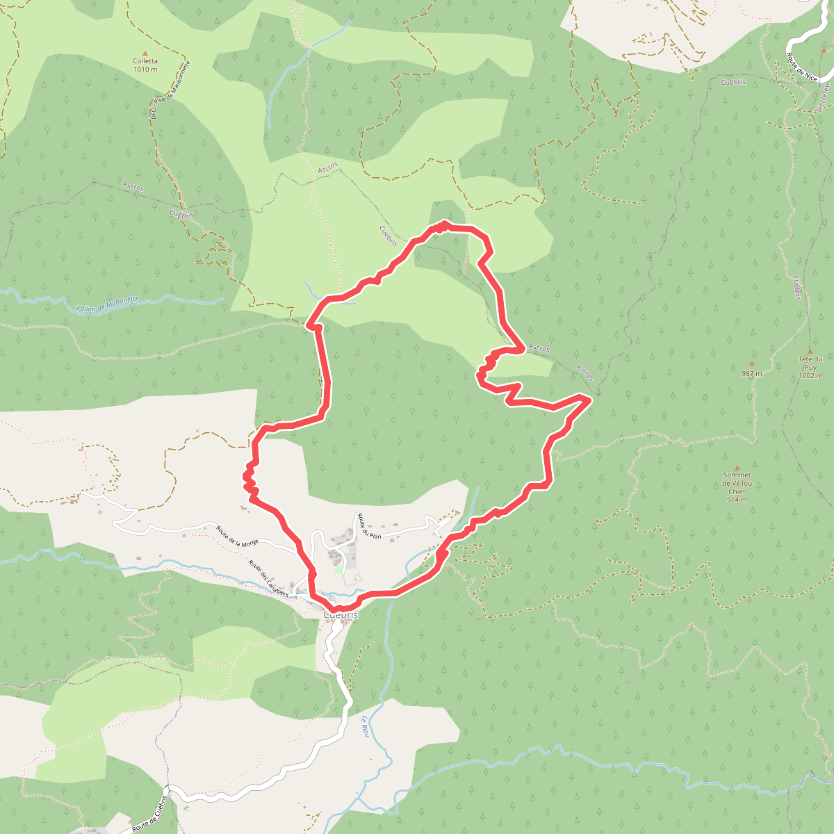
#4. Bau de l'Arc
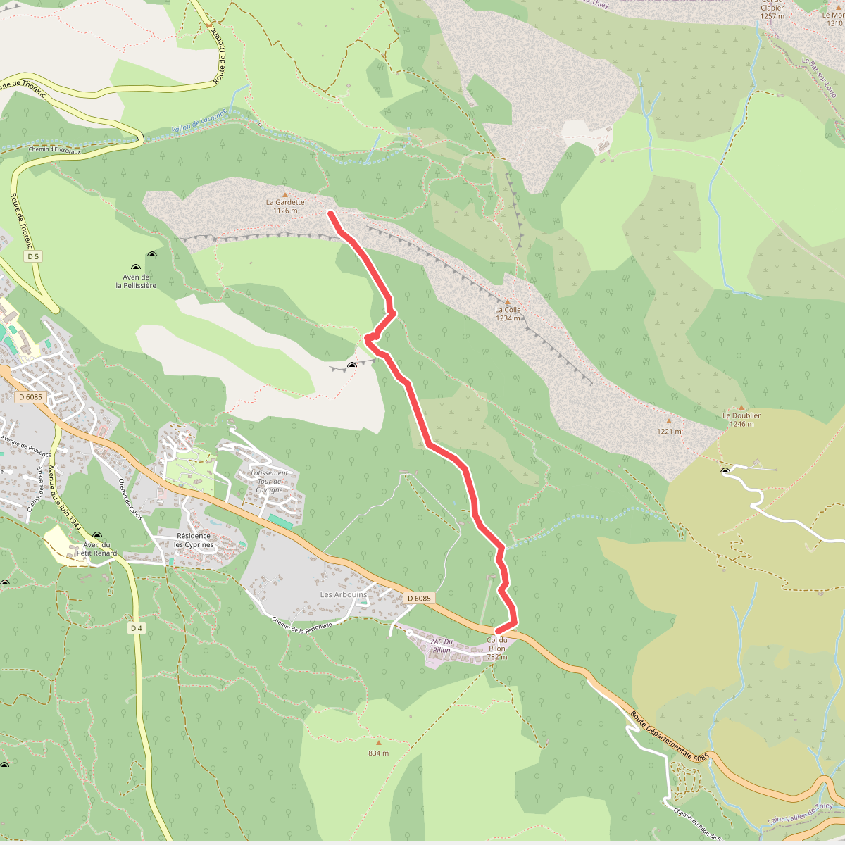
#5. Castellaras de la Malle
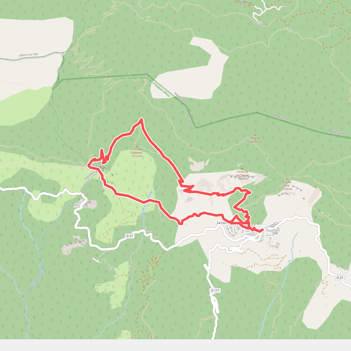
#6. Cime des Collettes
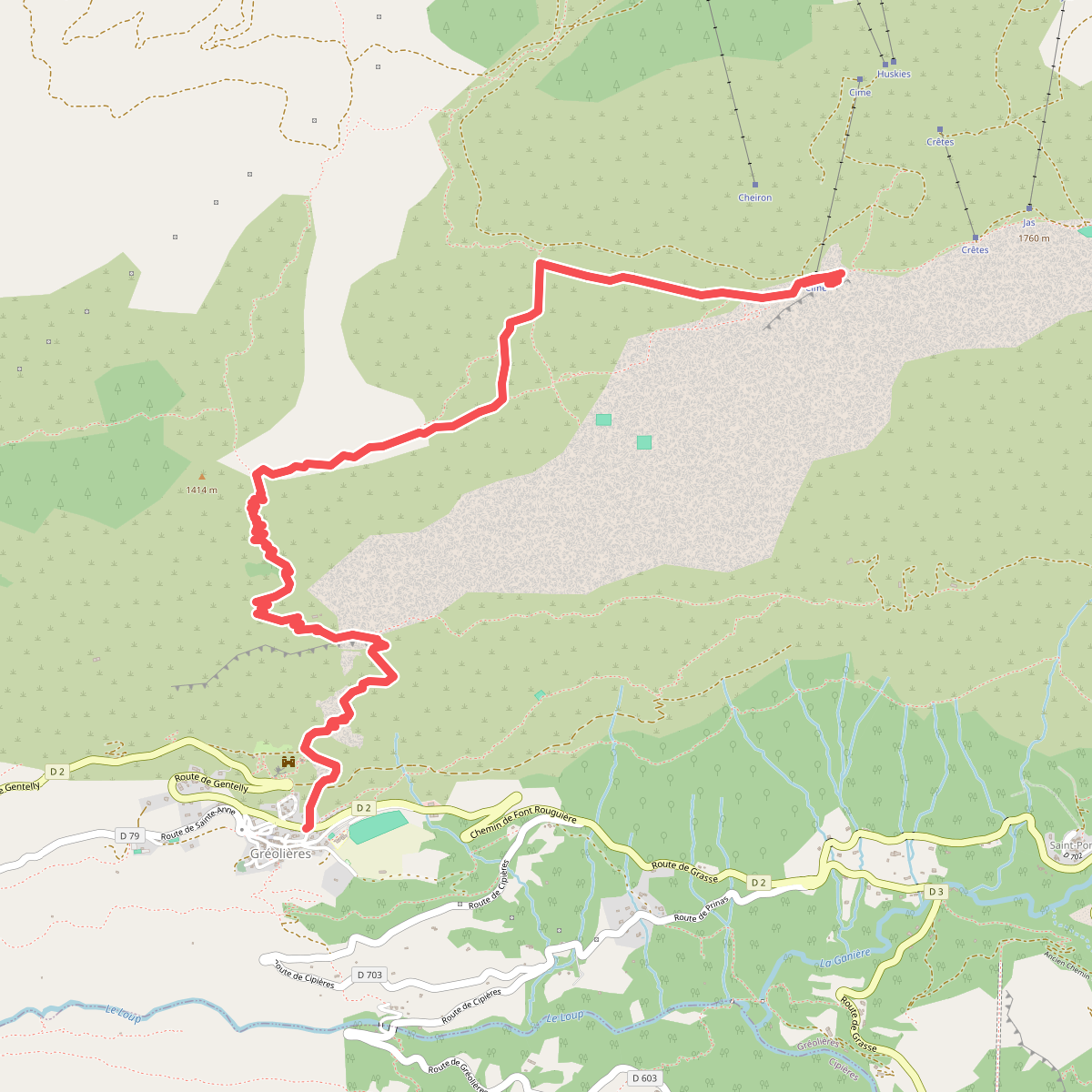
#7. Cime du Cheiron
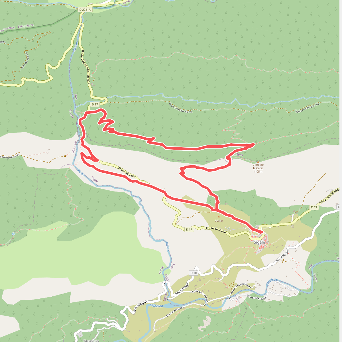
#8. Circuit de la Cacia
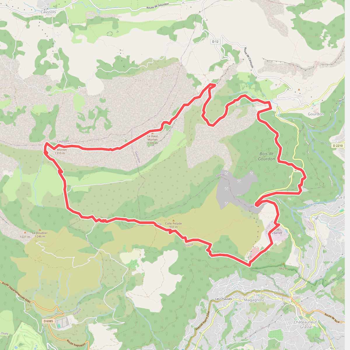
#9. Circuit de la Malle
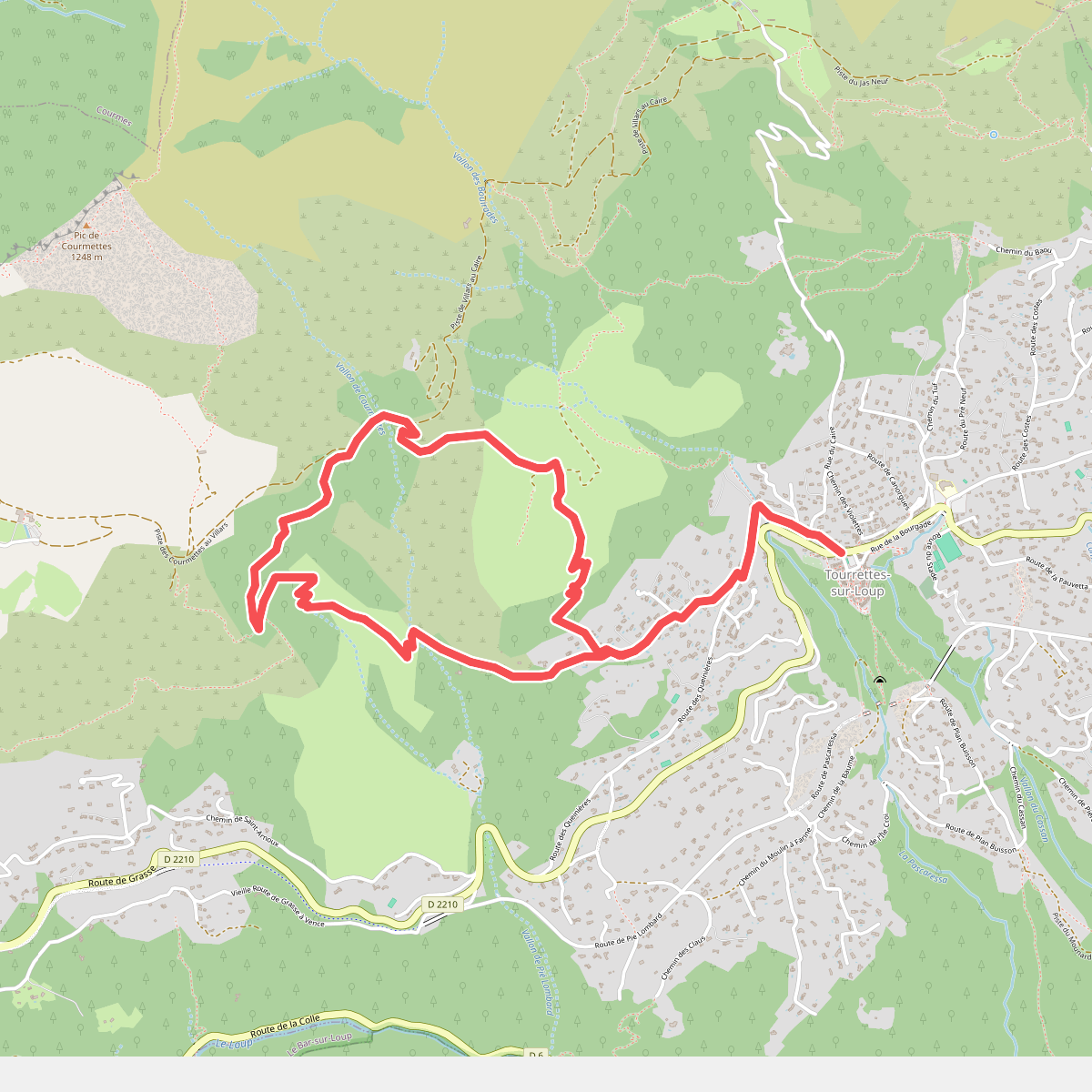
#10. Circuit de Pié Martin
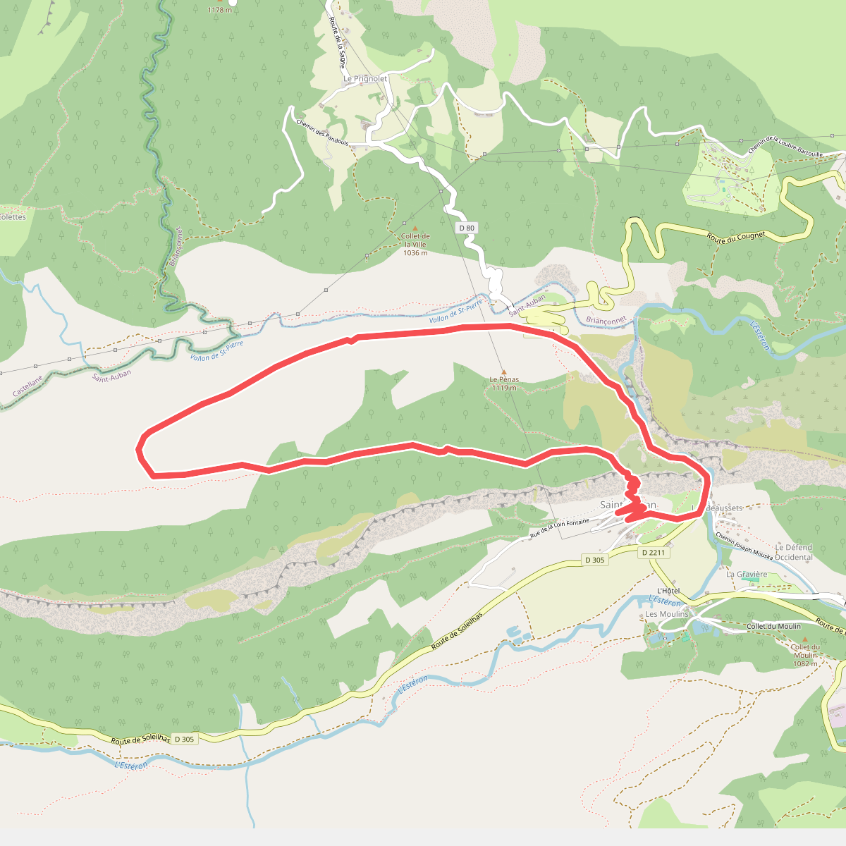
#11. Circuit de Tracastel