The best hiking routes in Parc naturel régional du Pilat
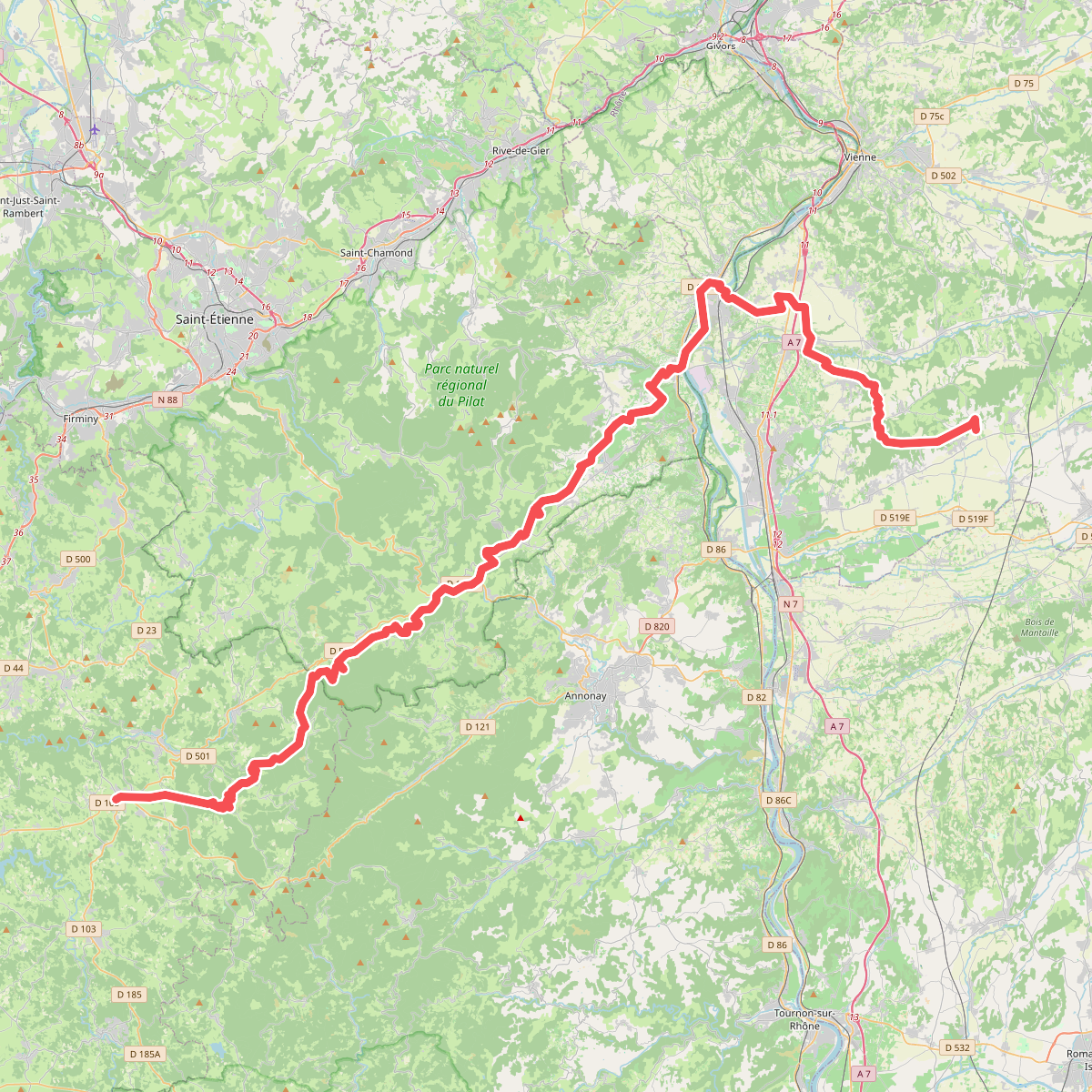
Discover the best walks in Parc naturel régional du Pilat. 1 routes on the map, with descriptions, photos and GPX.
About Parc naturel régional du Pilat
Parc naturel régional du Pilat rises abruptly from the Rhône Valley, presenting a landscape of stark contrasts shaped by its position between the Atlantic and Mediterranean climates. The northern and western slopes are dominated by dense pine and beech forests, where the paths are often damp, covered in leaf litter, and shaded by a thick canopy. In contrast, the southern slopes drop steeply toward the river, featuring dry, scrubby Mediterranean vegetation, vineyards, and open, rocky terrain where the soil is thin and sandy.
Read more
About Parc naturel régional du Pilat
Parc naturel régional du Pilat rises abruptly from the Rhône Valley, presenting a landscape of stark contrasts shaped by its position between the Atlantic and Mediterranean climates. The northern and western slopes are dominated by dense pine and beech forests, where the paths are often damp, covered in leaf litter, and shaded by a thick canopy. In contrast, the southern slopes drop steeply toward the river, featuring dry, scrubby Mediterranean vegetation, vineyards, and open, rocky terrain where the soil is thin and sandy.
Read moreParc naturel régional du Pilat rises abruptly from the Rhône Valley, presenting a landscape of stark contrasts shaped by its position between the Atlantic and Mediterranean climates. The northern and western slopes are dominated by dense pine and beech forests, where the paths are often damp, covered in leaf litter, and shaded by a thick canopy. In contrast, the southern slopes drop steeply toward the river, featuring dry, scrubby Mediterranean vegetation, vineyards, and open, rocky terrain where the soil is thin and sandy.
As you climb toward the higher ridges, the forest gives way to the crêts, the characteristic rounded summits of the Pilat. Here, the underfoot terrain changes to heathland dominated by heather and bilberry bushes, interspersed with chirats. These chirats are massive, slow-moving stone runs of loose granite blocks that cascade down the hillsides, a geological feature you will cross on rough, uneven footpaths that require careful stepping.
This park is not a high-alpine environment with jagged peaks, but rather a high, undulating granite massif reaching just over 1400 metres at Crêt de la Perdrix. While the lower valleys can feel enclosed and wooded, the upper ridges offer wide, open views of the surrounding valleys. In autumn, particularly around October, the contrast between the yellowing beech forests on the cold slopes and the dry, sun-baked southern terraces is especially pronounced.