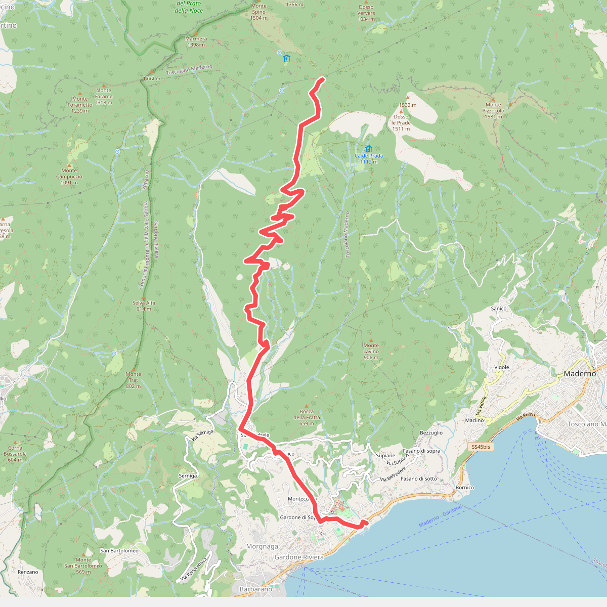
The best hiking routes in Parco alto Garda bresciano
Discover the best walks in Parco alto Garda bresciano. 174 routes on the map, with descriptions, photos and GPX.
Managed by Comunità montana parco alto Garda bresciano
About Parco alto Garda bresciano
Parco alto Garda bresciano is characterized by a dramatic transition from Mediterranean lakeside to alpine foothills. Unlike the flatter southern shores of Lake Garda, this western territory rises abruptly from the water in steep limestone cliffs. Walkers will find two distinct environments here: the narrow coastal strip lined with olive groves, lemon houses, and cypress trees, and the high hinterland where dense oak and beech forests cover rugged plateaus and ridges.
Read more
About Parco alto Garda bresciano
Parco alto Garda bresciano is characterized by a dramatic transition from Mediterranean lakeside to alpine foothills. Unlike the flatter southern shores of Lake Garda, this western territory rises abruptly from the water in steep limestone cliffs. Walkers will find two distinct environments here: the narrow coastal strip lined with olive groves, lemon houses, and cypress trees, and the high hinterland where dense oak and beech forests cover rugged plateaus and ridges.
Read moreParco alto Garda bresciano is characterized by a dramatic transition from Mediterranean lakeside to alpine foothills. Unlike the flatter southern shores of Lake Garda, this western territory rises abruptly from the water in steep limestone cliffs. Walkers will find two distinct environments here: the narrow coastal strip lined with olive groves, lemon houses, and cypress trees, and the high hinterland where dense oak and beech forests cover rugged plateaus and ridges.
The paths underfoot reflect this sharp change in elevation. Near the lake, you will mostly walk on paved mule tracks, stone-paved paths, and historic military roads. As you climb higher toward peaks like Monte Pizzocolo or the Tremalzo pass, the terrain shifts to loose limestone scree, dirt tracks, and grassy ridges. The landscape is heavily shaped by traditional rural architecture, with old stone barns, terraced hillsides, and remnants of charcoal burners' sites visible along the trails.
This area is not a place for gentle, flat lakeside strolls once you leave the immediate shoreline. The climbs are steep and demanding, requiring steady footing on rocky ground. While the lower trails near the towns can be busy, the higher forest paths offer a much quieter experience, where the vegetation changes to alpine wildflowers by June.
Hiking routes in Parco alto Garda bresciano (174)
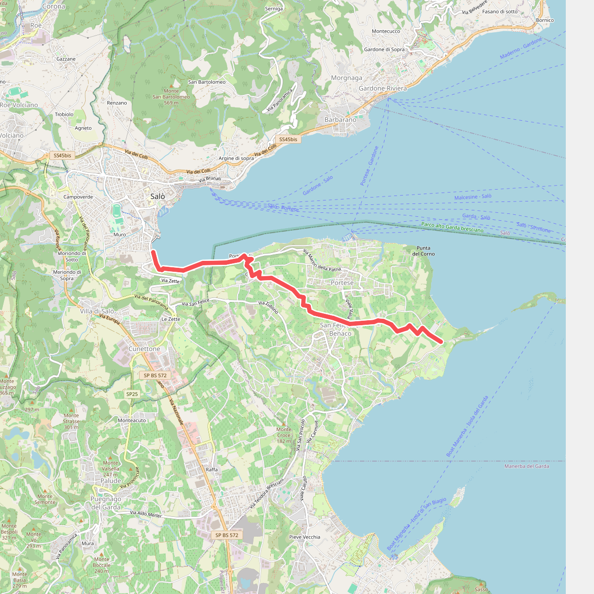
#1. 1 San Felice del Benaco
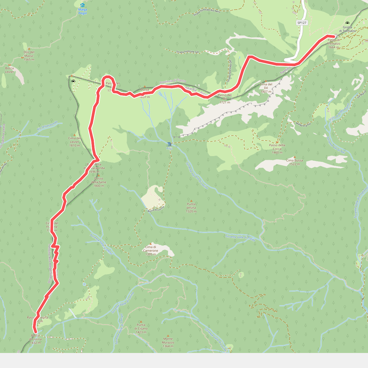
#2. 444
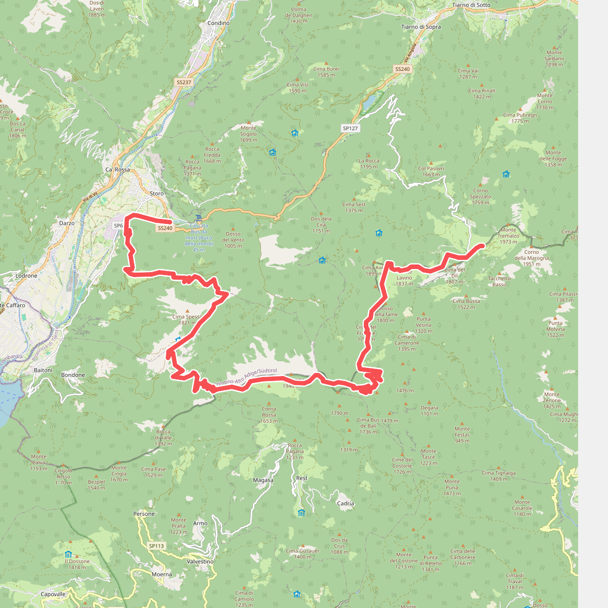
#3. 444
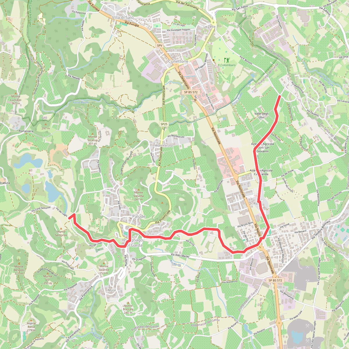
#4. 5 - Percorsi delle Colline Moreniche di Puegnago
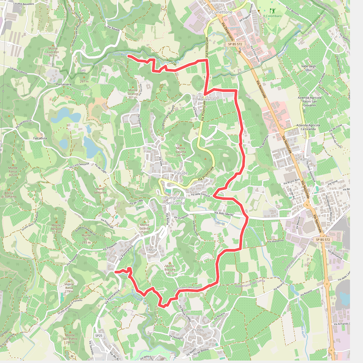
#5. 6 - Percorsi delle Colline Moreniche di Puegnago
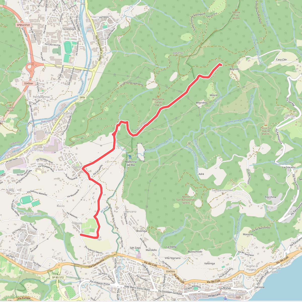
#6. Agneto - Bagnolo
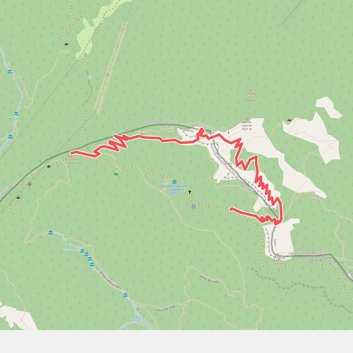
#7. Agostino Tosi
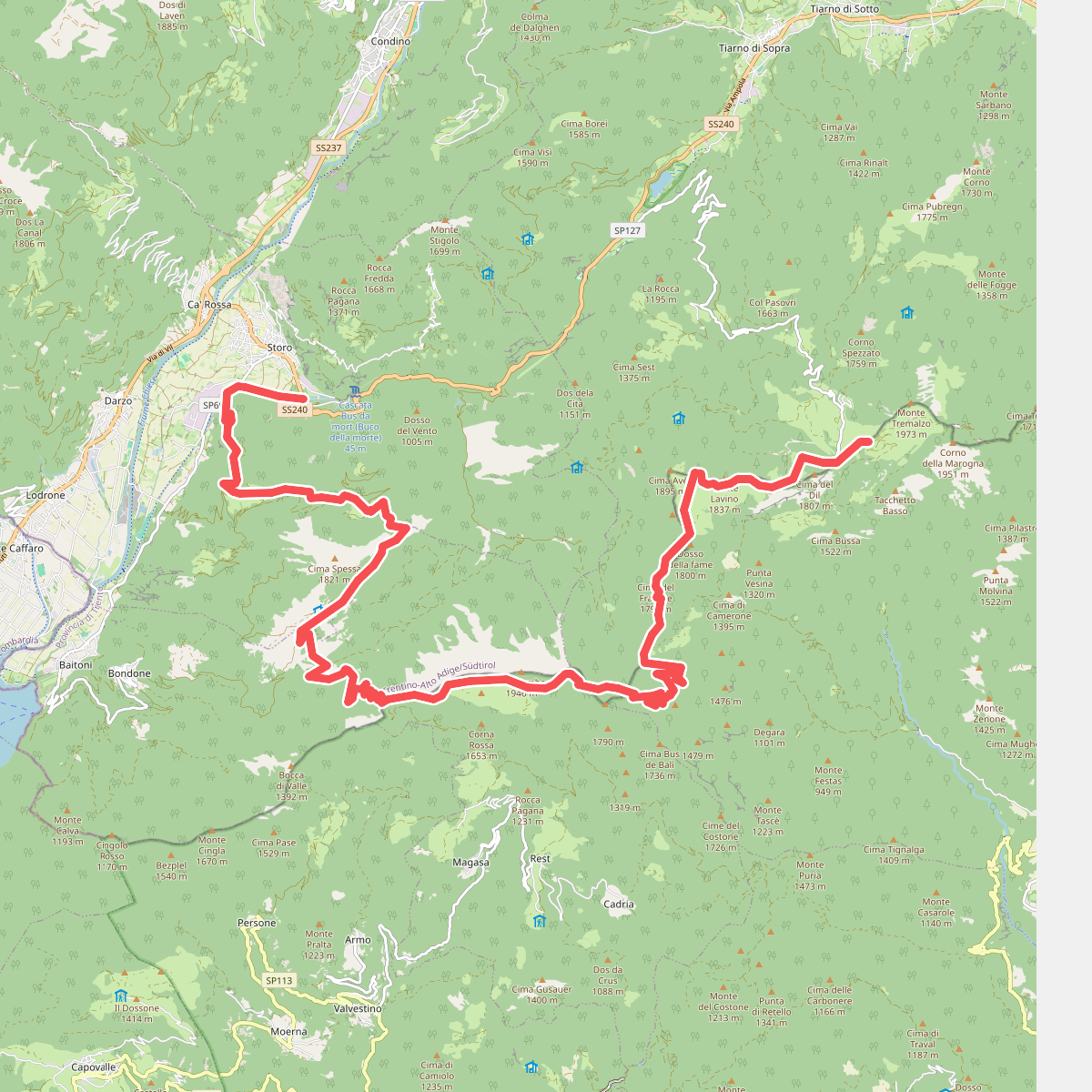
#8. Alpiedi Ledro Alps Trek - Tappa 1
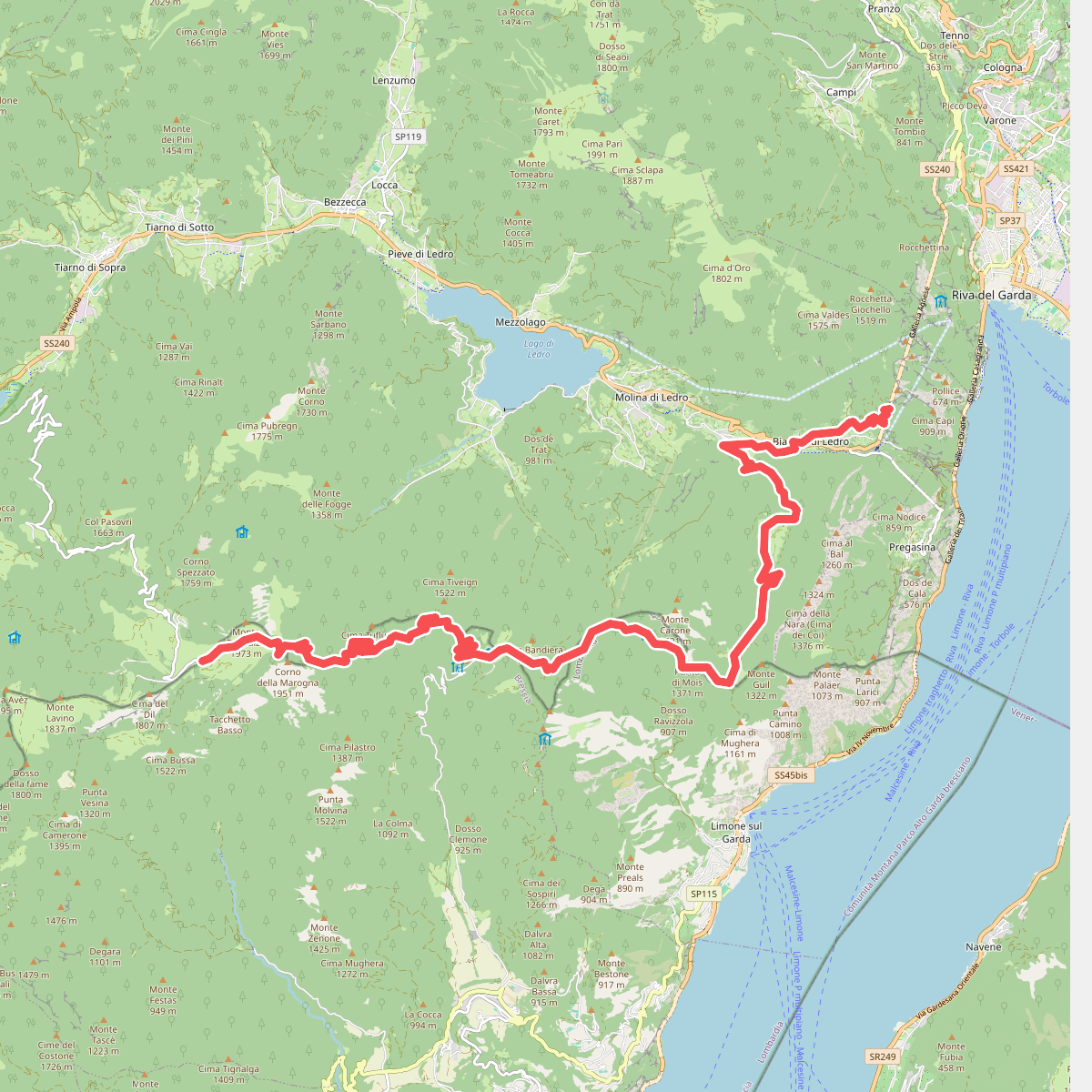
#9. Alpiedi Ledro Alps Trek - Tappa 2
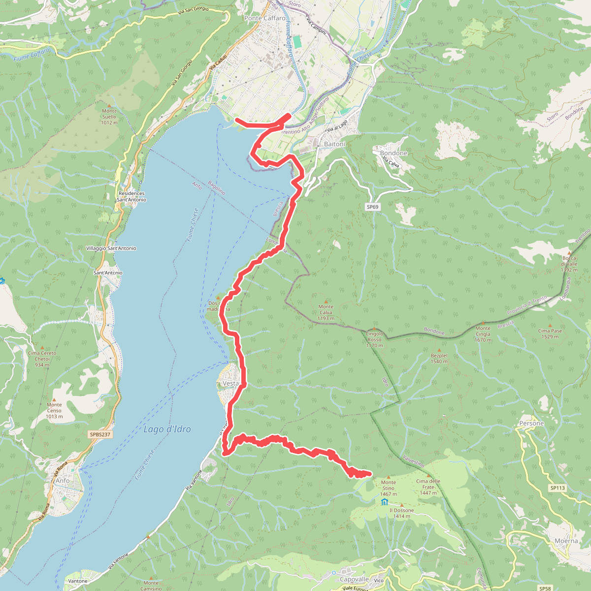
#10. Alta via dei Forti - Terza tappa (3)
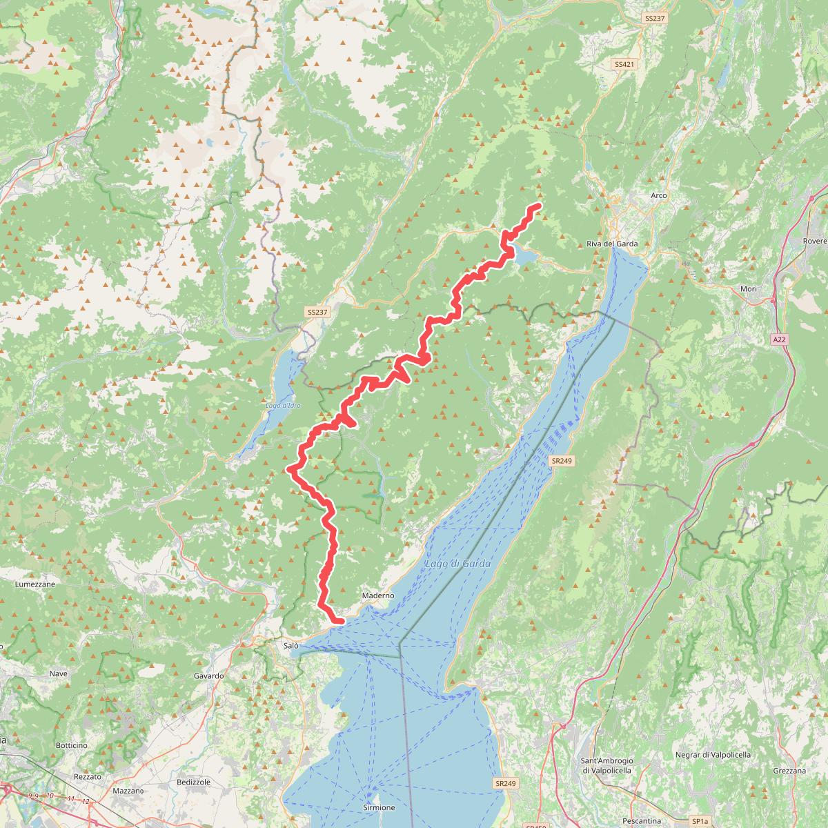
#11. Alta Via n. 10 - Garda Brenta