


The best hiking routes in Parco delle Orobie Bergamasche
Discover the best walks in Parco delle Orobie Bergamasche. 117 routes on the map, with descriptions, photos and GPX.
Managed by Regione Lombardia
About Parco delle Orobie Bergamasche
Parco delle Orobie Bergamasche covers a steep, rugged section of the southern limestone Alps in northern Italy, characterized by sharp dolomite crags, deep forested ravines, and high alpine pastures. Unlike the flatter pre-alpine hills to the south, this area demands steady footwork on steep, rocky paths that are often covered in loose limestone scree or exposed tree roots. Walkers should expect significant elevation gains rather than gentle, rolling strolls, with many routes climbing quickly from dense chestnut and beech woods into open, rocky terrain.
Read more
About Parco delle Orobie Bergamasche
Parco delle Orobie Bergamasche covers a steep, rugged section of the southern limestone Alps in northern Italy, characterized by sharp dolomite crags, deep forested ravines, and high alpine pastures. Unlike the flatter pre-alpine hills to the south, this area demands steady footwork on steep, rocky paths that are often covered in loose limestone scree or exposed tree roots. Walkers should expect significant elevation gains rather than gentle, rolling strolls, with many routes climbing quickly from dense chestnut and beech woods into open, rocky terrain.
Read moreParco delle Orobie Bergamasche covers a steep, rugged section of the southern limestone Alps in northern Italy, characterized by sharp dolomite crags, deep forested ravines, and high alpine pastures. Unlike the flatter pre-alpine hills to the south, this area demands steady footwork on steep, rocky paths that are often covered in loose limestone scree or exposed tree roots. Walkers should expect significant elevation gains rather than gentle, rolling strolls, with many routes climbing quickly from dense chestnut and beech woods into open, rocky terrain.
The landscape changes dramatically with altitude. The lower valleys feature damp, shaded gorges where paths run alongside rushing mountain torrents over slick, mossy stones. As you climb above the tree line, the forest gives way to vast alpine meadows and stark, grey limestone walls. Underfoot, the tracks transition from soft forest loam to hard-packed dirt, eventually becoming narrow, stony trails where waymarking is painted directly onto the rocks. In June, these high pastures are bright with alpine wildflowers, while by October, the larch forests on the middle slopes turn a deep gold.
This is a working mountain landscape where walkers share the terrain with grazing cattle in the summer months, and the sound of cowbells is a constant presence near the high dairies. While the trails leading to the most popular mountain huts can be busy on summer weekends, the vast network of steep lateral valleys offers a much quieter, more demanding experience. There are no paved promenades or flat boardwalks here; instead, the paths are traditional mule tracks and rough mountain trails that require sturdy boots and a careful eye on the terrain.
Hiking routes in Parco delle Orobie Bergamasche (117)

#1. 101 - Tappa 3
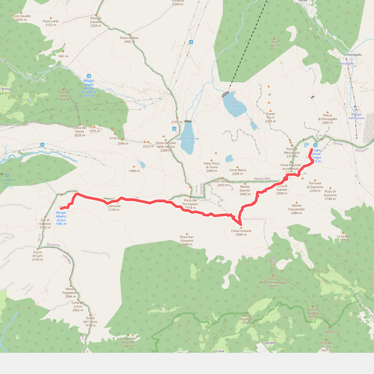
#2. 101 - Tappa 4
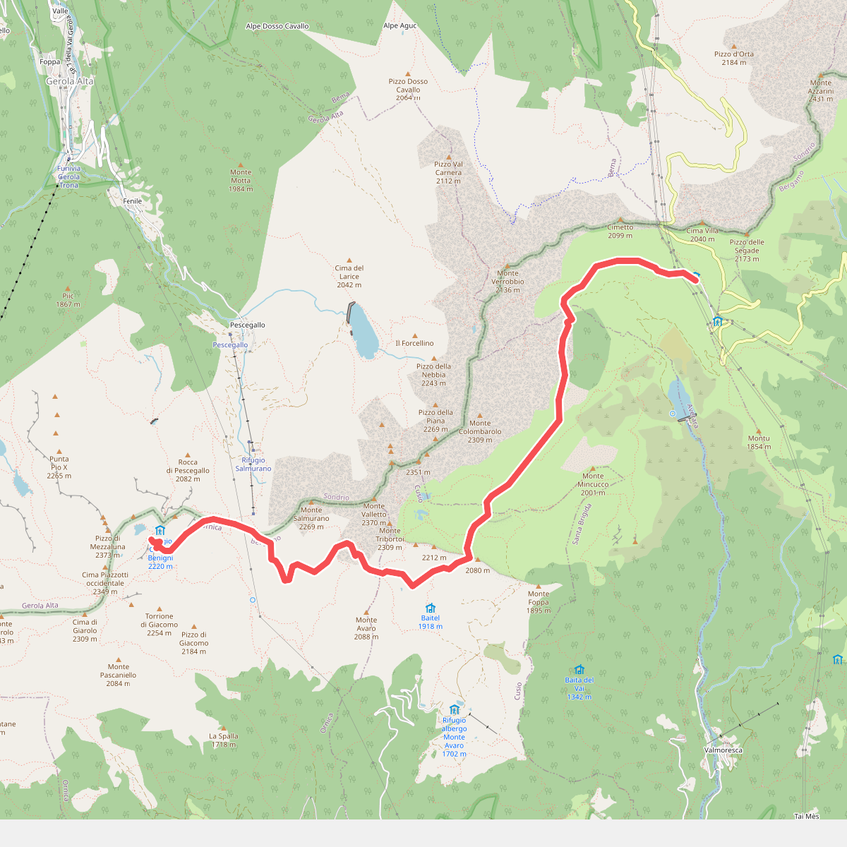
#3. 101 - Tappa 5
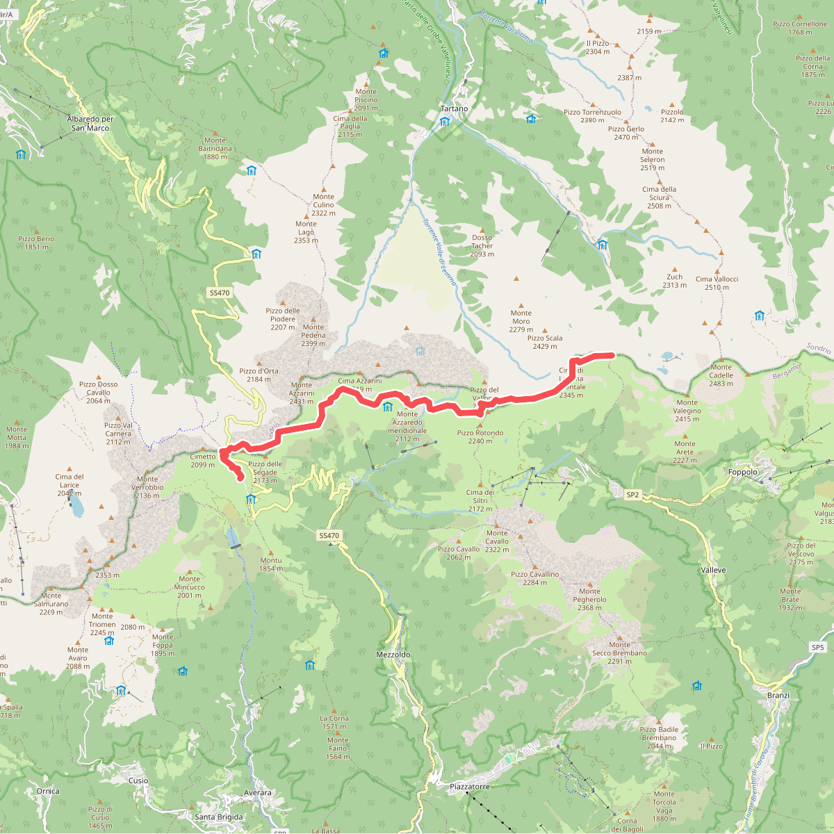
#4. 101 - Tappa 6

#5. A spasso nel tempo
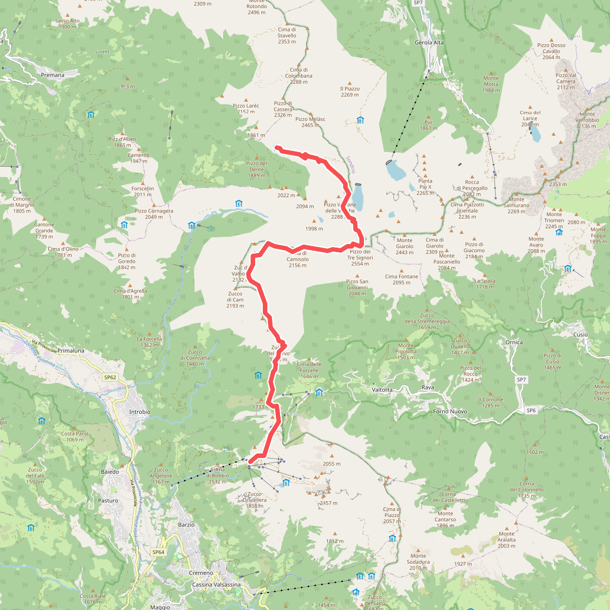
#6. Alta Via della Valsassina - Tappa 3

#7. Alta Via delle Grazie - Tappa 4

#8. Alta Via delle Grazie - Tappa 5

#9. Alta Via delle Grazie - Tappa 6

#10. Alta Via delle Grazie - Tappa 7

#11. Alta Via delle Grazie - Tappa 8





