


The best hiking routes in Parque Nacional de Picos de Europa
Discover the best walks in Parque Nacional de Picos de Europa. 57 routes on the map, with descriptions, photos and GPX.
About Parque Nacional de Picos de Europa
The Parque Nacional de Picos de Europa is defined by three distinct limestone massifs separated by deep, sheer gorges. Underfoot, walkers will encounter a stark contrast between the high-altitude karst deserts, where the path consists of loose scree, sharp limestone pavement, and steep rock steps, and the lower valleys characterized by green pastures and beech forests. Because of the soluble nature of the limestone, surface water is virtually non-existent on the high plateaus, meaning there are no streams or lakes once you ascend past the lower valleys, with the exception of the glacial lakes of Covadonga.
Read more
About Parque Nacional de Picos de Europa
The Parque Nacional de Picos de Europa is defined by three distinct limestone massifs separated by deep, sheer gorges. Underfoot, walkers will encounter a stark contrast between the high-altitude karst deserts, where the path consists of loose scree, sharp limestone pavement, and steep rock steps, and the lower valleys characterized by green pastures and beech forests. Because of the soluble nature of the limestone, surface water is virtually non-existent on the high plateaus, meaning there are no streams or lakes once you ascend past the lower valleys, with the exception of the glacial lakes of Covadonga.
Read moreThe Parque Nacional de Picos de Europa is defined by three distinct limestone massifs separated by deep, sheer gorges. Underfoot, walkers will encounter a stark contrast between the high-altitude karst deserts, where the path consists of loose scree, sharp limestone pavement, and steep rock steps, and the lower valleys characterized by green pastures and beech forests. Because of the soluble nature of the limestone, surface water is virtually non-existent on the high plateaus, meaning there are no streams or lakes once you ascend past the lower valleys, with the exception of the glacial lakes of Covadonga.
Navigating this landscape requires an understanding of its verticality. The lower trails often follow ancient stone-paved livestock paths or dirt tracks through hazel and oak woods, while the higher routes quickly become demanding scrambles marked only by stone cairns. You will notice how abruptly the vegetation ends as you climb, giving way to a grey, fractured world of sinkholes and vertical shafts. This is not a rolling mountain range; the terrain is jagged, steep, and highly complex, requiring constant attention to footing.
In late spring, around May, the lower meadows are filled with wildflowers, while the high passes remain blocked by snow. By contrast, late summer reveals the bare, bone-dry character of the limestone peaks. The popular access points, particularly around the Cares Gorge and the Fuente Dé cable car, attract large numbers of visitors, but the interior high-altitude tracks remain demanding, rugged, and generally less crowded due to the physical effort required to reach them.
Hiking routes in Parque Nacional de Picos de Europa (57)

#1. Asturias Interior (Etapa 1)
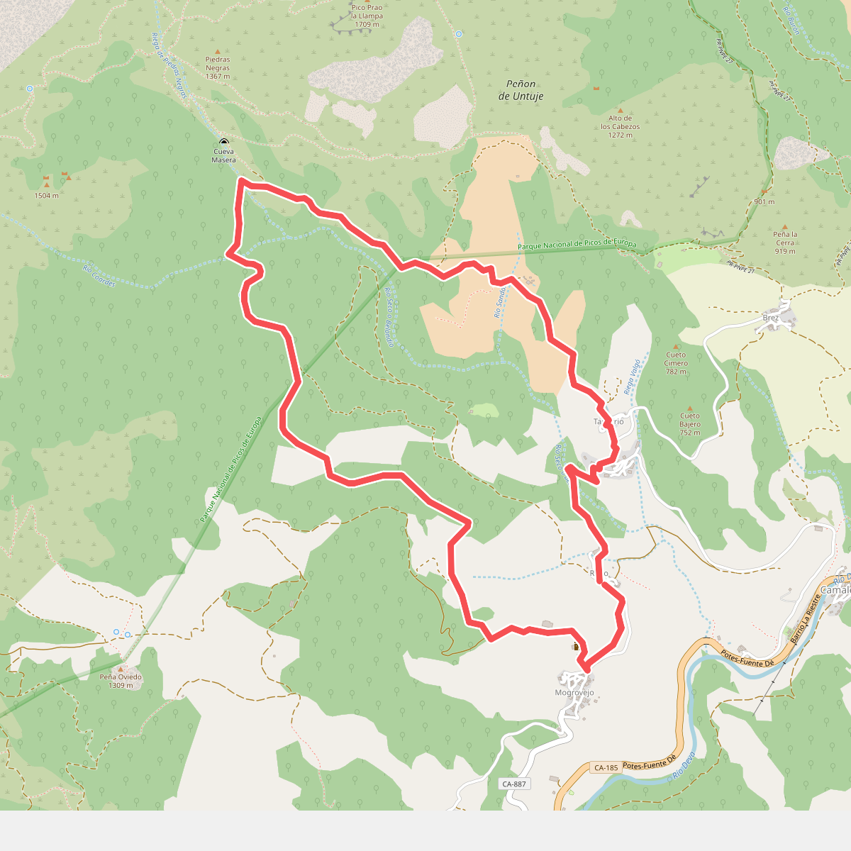
#2. Bajo los picos
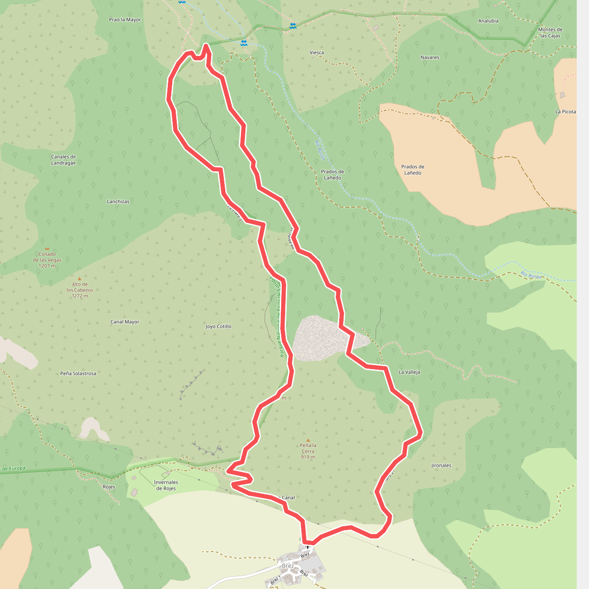
#3. Brez - Canal de las Arredondas

#4. Buferrera-Ordiales

#5. Camarmeña
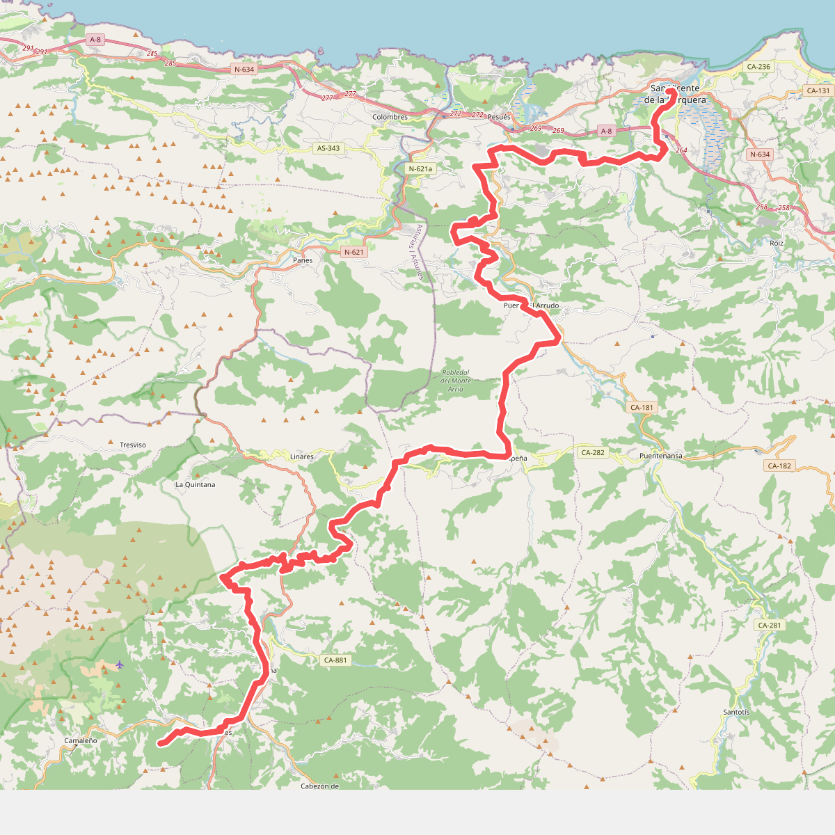
#6. Camino Lebaniego
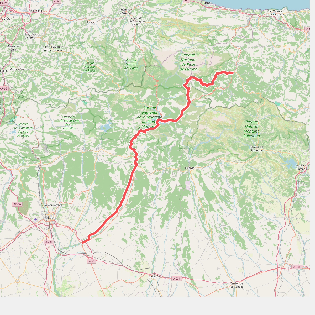
#7. Camino Vadiniense

#8. Canal de Camburero

#9. Collado Jermoso

#10. Cueva de Santibañas

#11. Demués - Los Lagos





