The best hiking routes in Parque Natural Saja-Besaya
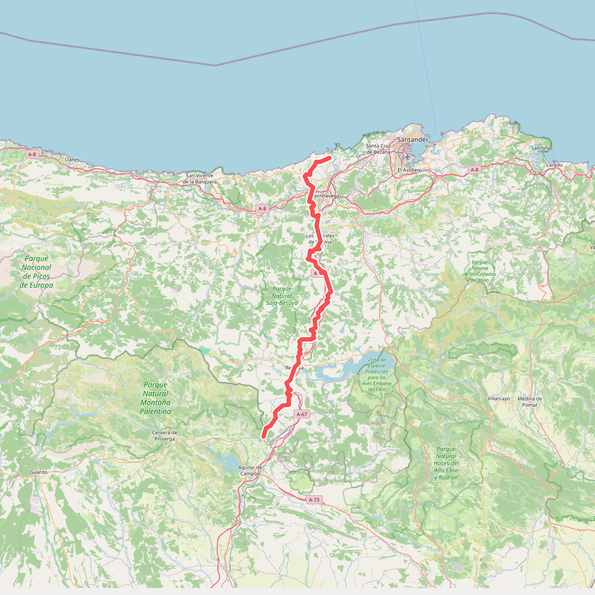
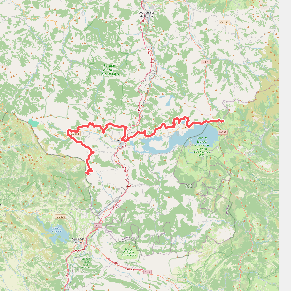
Discover the best walks in Parque Natural Saja-Besaya. 4 routes on the map, with descriptions, photos and GPX.
About Parque Natural Saja-Besaya
Parque Natural Saja-Besaya occupies a vast, deeply creased Atlantic forest zone in Cantabria, characterized by extensive beech and oak woodlands rather than the jagged limestone peaks found further west. Walking here means navigating a landscape of steep, densely wooded valleys carved by the Saja and Besaya rivers, where the canopy often blocks out the direct light. Underfoot, you will mostly encounter damp forest soil, leaf litter, and stony forestry tracks that can become muddy and slick under the trees. It is a terrain of enclosed green spaces and rushing water rather than wide-open alpine meadows.
Read more
About Parque Natural Saja-Besaya
Parque Natural Saja-Besaya occupies a vast, deeply creased Atlantic forest zone in Cantabria, characterized by extensive beech and oak woodlands rather than the jagged limestone peaks found further west. Walking here means navigating a landscape of steep, densely wooded valleys carved by the Saja and Besaya rivers, where the canopy often blocks out the direct light. Underfoot, you will mostly encounter damp forest soil, leaf litter, and stony forestry tracks that can become muddy and slick under the trees. It is a terrain of enclosed green spaces and rushing water rather than wide-open alpine meadows.
Read moreParque Natural Saja-Besaya occupies a vast, deeply creased Atlantic forest zone in Cantabria, characterized by extensive beech and oak woodlands rather than the jagged limestone peaks found further west. Walking here means navigating a landscape of steep, densely wooded valleys carved by the Saja and Besaya rivers, where the canopy often blocks out the direct light. Underfoot, you will mostly encounter damp forest soil, leaf litter, and stony forestry tracks that can become muddy and slick under the trees. It is a terrain of enclosed green spaces and rushing water rather than wide-open alpine meadows.
The lower elevations feature mixed deciduous woods that gradually give way to massive, uniform beech forests like the Monte Saja as you climb. On the higher ridges, the trees yield to open brañas, which are high-altitude pastures used for seasonal cattle grazing. These upland areas are often crisscrossed by rough, unpaved tracks and animal paths where the ground transitions to coarse grass and heather. Navigating these upper sections requires basic map-reading skills, as mist frequently settles over the ridges, obscuring the way.
In October and November, the beech leaves turn a deep copper, making this the most visually striking time to explore the forest interior. While the main recreational areas near the riverbeds can attract local day-trippers, the deeper trail network remains quiet and demanding. This park is best suited for walkers who enjoy long, steady climbs through dense woodland and quiet valley floors, rather than those seeking high-altitude rocky scrambles or dramatic cliffside views.