


The best hiking routes in Uiterwaarden IJssel
Discover the best walks in Uiterwaarden IJssel. 136 routes on the map, with descriptions, photos and GPX.


About Uiterwaarden IJssel
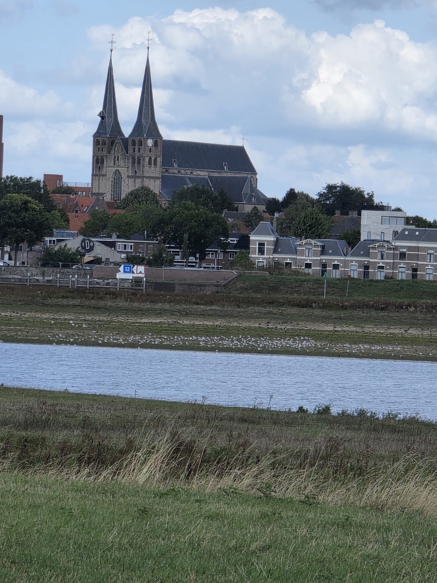
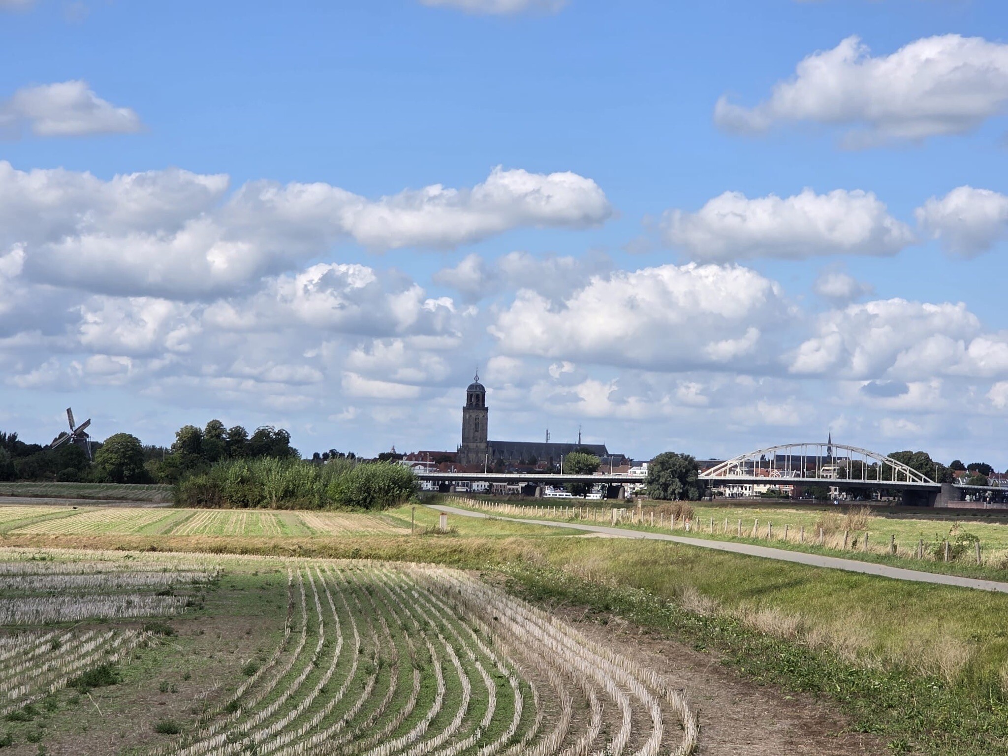
The Uiterwaarden IJssel consists of the river floodplains along the IJssel, where the landscape is shaped by the seasonal rise and fall of the water. Unlike dry forest or heathland reserves, this area is defined by flat, grassy pastures, clay soils, and secondary river channels. Walkers will find a terrain of open meadows, small willow coppices, and steep river dikes that offer elevated views over the water and the low-lying land behind them.
Read more
About Uiterwaarden IJssel
The Uiterwaarden IJssel consists of the river floodplains along the IJssel, where the landscape is shaped by the seasonal rise and fall of the water. Unlike dry forest or heathland reserves, this area is defined by flat, grassy pastures, clay soils, and secondary river channels. Walkers will find a terrain of open meadows, small willow coppices, and steep river dikes that offer elevated views over the water and the low-lying land behind them.
Read moreThe Uiterwaarden IJssel consists of the river floodplains along the IJssel, where the landscape is shaped by the seasonal rise and fall of the water. Unlike dry forest or heathland reserves, this area is defined by flat, grassy pastures, clay soils, and secondary river channels. Walkers will find a terrain of open meadows, small willow coppices, and steep river dikes that offer elevated views over the water and the low-lying land behind them.
Underfoot, the paths are predominantly unpaved grassy tracks and clay paths that can become sticky and soft. There are few gravel paths or boardwalks here; instead, hikers follow the natural contours of the riverbanks and pasture edges. Fences with stiles are common, as many of these floodplains are actively grazed by cattle or horses to keep the vegetation short. The area is highly open, with little shelter from trees compared to nearby woodland areas.
This is a working river landscape rather than a pristine wilderness. You will walk past active farms, brick factory ruins, and shipping traffic on the main river channel. While some sections near towns can be busier with local walkers, the deeper floodplains offer a quiet, agricultural atmosphere where the main features are the movement of the river and the presence of waterfowl.
Hiking routes in Uiterwaarden IJssel (136)


#1. Giesepad
Duiven,Lathum,Giesbeek,De Steeg


#2. Hattem - Station Zwolle · Westerborkpad etappe 19
Hattem,Zwolle


#3. OV-Stapper Bomendijk
Deventer,Wilp,Voorst,Klarenbeek


#4. Station Wezep - Hattem · Westerborkpad etappe 18
Wezep,Hattem


#5. Zalk - Rood
Zalk,Zwolle,'s-Heerenbroek


#6. Zwolle (station 150m) - Kampen station · Hanzestedenpad etappe 7
Kampen,IJsselmuiden,Wilsum,Kamperveen,'s-Heerenbroek,Zwolle,Hattem

#7. Brummen - Vorden · Trekvogelpad etappe 20
Brummen,Steenderen,Zutphen,Baak,Vierakker,Vorden


#8. Dagwandeling (Zwolle - Hasselt) · Hanzestedenpad etappe 16
Hasselt,Zwolle,Hattem


#9. Den Nul - Windesheim · Hanzestedenpad etappe 5
Zwolle,Wapenveld,Wijhe,Marle,Vorchten,Veessen,Olst,Oene


#10. Deventer - Geel
Deventer,Twello,Wilp

#11. Deventer - Klarenbeek · Marskramerpad etappe 8
Klarenbeek,Voorst,Wilp,Deventer


#12. Heino - Wijhe · Roots Natuurpad etappe 15
Wijhe,Raalte,Heino




