


The best hiking routes in Arkemheen
Discover the best walks in Arkemheen. 11 routes on the map, with descriptions, photos and GPX.
Managed by Staatsbosbeheer;Natuurmonumenten


About Arkemheen
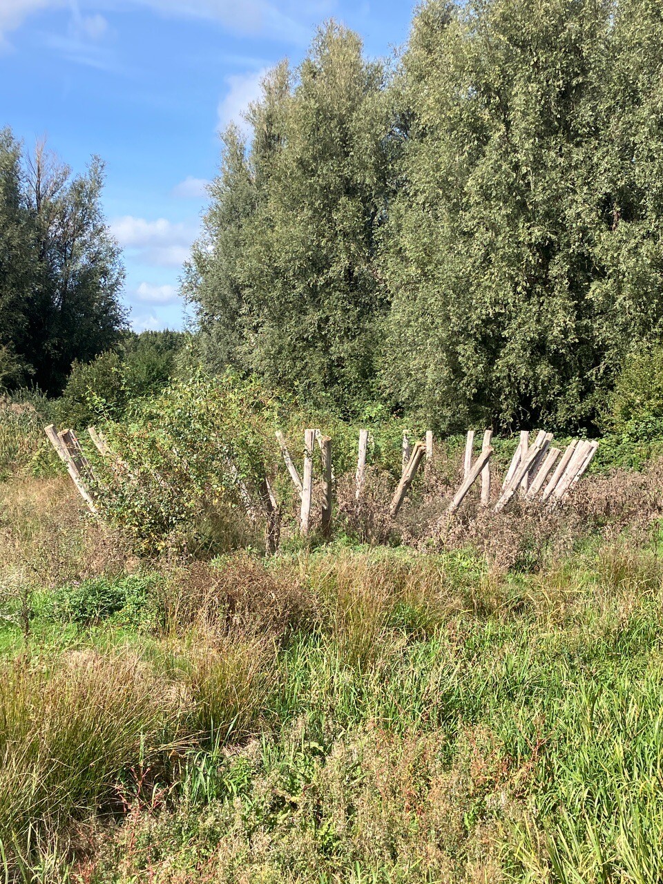
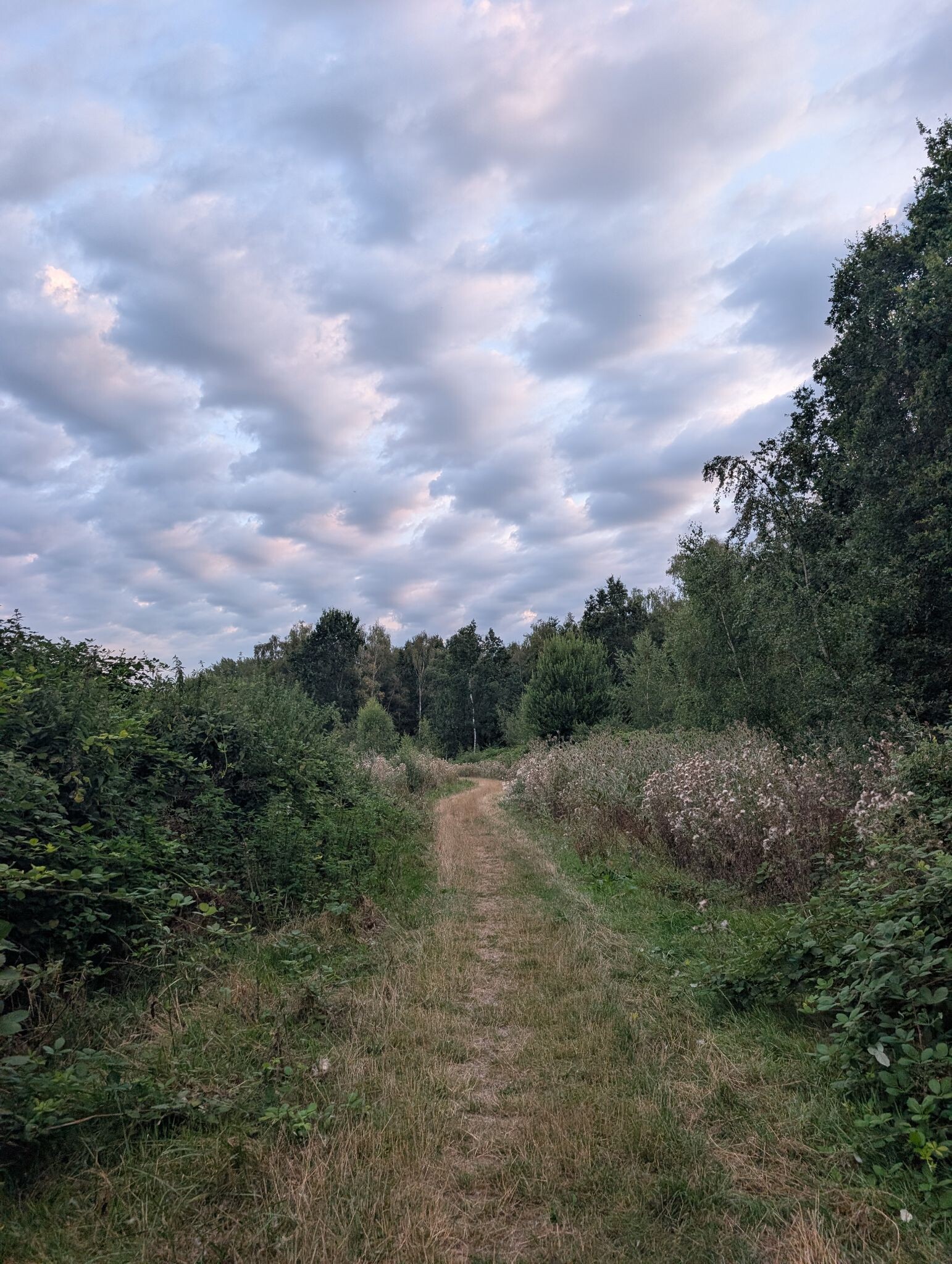
Arkemheen is a low-lying peat polder that has retained its medieval layout, making it distinct from the straight, modern agricultural grids nearby. Walking here means following narrow asphalt dikes and grassy paths that sit slightly higher than the surrounding wet meadows. The landscape is flat and open, defined by a dense network of winding ditches and shallow pools rather than forests or dunes. You will not find sandy tracks, boardwalks, or woodland cover in this reserve.
Read more
About Arkemheen
Arkemheen is a low-lying peat polder that has retained its medieval layout, making it distinct from the straight, modern agricultural grids nearby. Walking here means following narrow asphalt dikes and grassy paths that sit slightly higher than the surrounding wet meadows. The landscape is flat and open, defined by a dense network of winding ditches and shallow pools rather than forests or dunes. You will not find sandy tracks, boardwalks, or woodland cover in this reserve.
Read moreArkemheen is a low-lying peat polder that has retained its medieval layout, making it distinct from the straight, modern agricultural grids nearby. Walking here means following narrow asphalt dikes and grassy paths that sit slightly higher than the surrounding wet meadows. The landscape is flat and open, defined by a dense network of winding ditches and shallow pools rather than forests or dunes. You will not find sandy tracks, boardwalks, or woodland cover in this reserve.
Underfoot, the terrain consists of damp clay and peat soils, with many routes following the grassy dikes where sheep graze. The vegetation is dominated by marsh marigolds and rough grasses, which thrive in the brackish conditions influenced by the nearby IJsselmeer. Because the water level is kept high to support meadow birds, the ground off the paved dikes remains consistently soggy and is often inaccessible to walkers.
In April and May, the area is highly active with nesting black-tailed godwits and lapwings, which are easily spotted from the dike paths. The historic steam pumping station, Hertog Reijnout, sits at the edge of the reserve and explains the drainage system you see in the fields. This is a landscape for those who prefer open, wet grassland views and birdwatching over sheltered forest walks.
Hiking routes in Arkemheen (11)
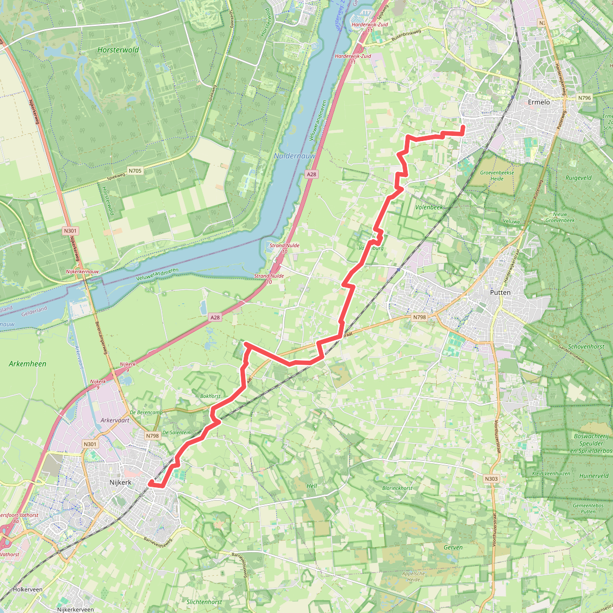


#1. Nijkerk - Ermelo · Zuiderzeepad etappe 11
Nijkerk,Putten
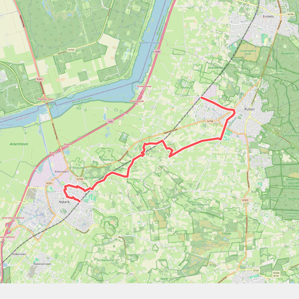


#2. Station Nijkerk - Station Putten · Westerborkpad etappe 11
Nijkerk,Putten


#3. Bunschoten-Spakenburg - Nijkerk · Zuiderzeepad etappe 10
Bunschoten-Spakenburg,Nijkerk
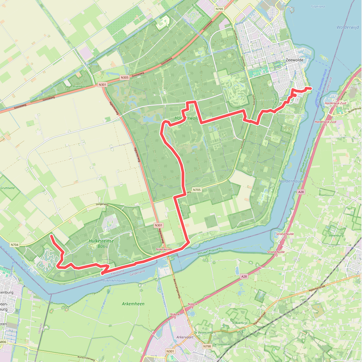
#4. Eemhof - Zeewolde · Wandelroute van A tot Z etappe 4
Zeewolde,Nijkerk,Ermelo

#5. Een afwisselend hoevenlandschap
Nijkerk,Putten
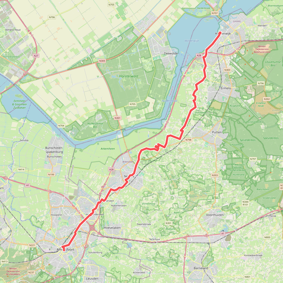
#6. Harderwijk - Amersfoort · Jacobsweg Amsvorde etappe 4
Harderwijk,Ermelo,Putten,Nijkerk,Amersfoort,Hooglanderveen

#7. Putten Hoeverveldpad
Putten

#8. Rondje Flevoland
Prachtige route langs het water
Almere,Lelystad,Dronten,Nagele,Urk,Tollebeek,Espel,Creil,Rutten,Luttelgeest,Blankenham,Blokzijl,Marknesse,Kraggenburg,Ens,Zeewolde

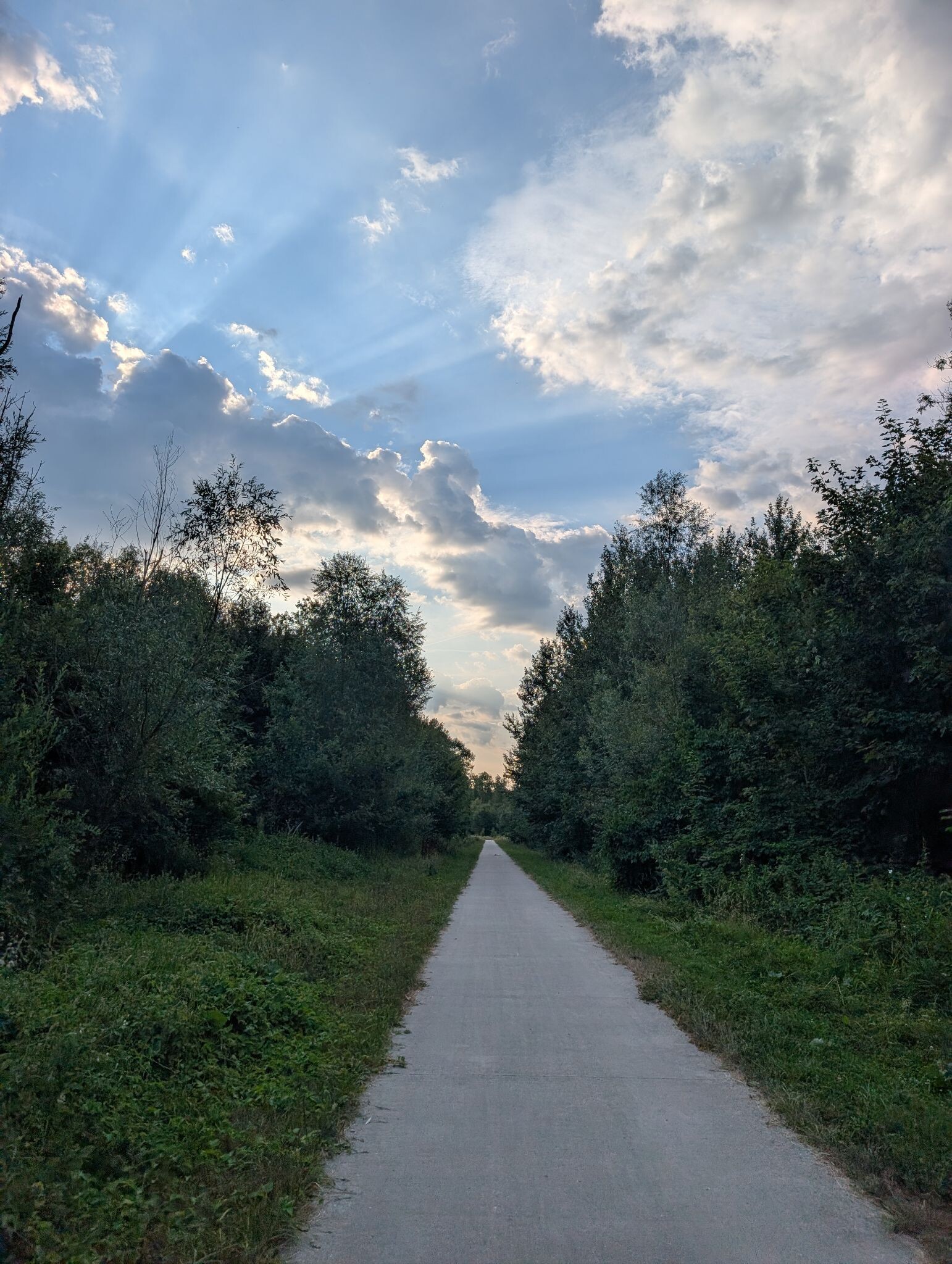


#9. Rondje vanaf Landgoed Energy Up
Zeewolde

#10. Veendijkpad Bunschoten
Bunschoten-Spakenburg


#11. Zeewolde - De Eemhof · Pionierspad etappe 9
Zeewolde,Nijkerk,Ermelo




