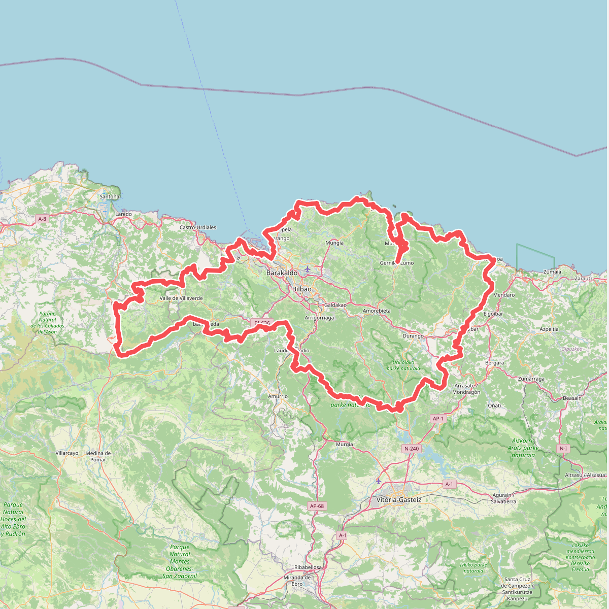
The best hiking routes in Armañongo Parke Naturala
Discover the best walks in Armañongo Parke Naturala. 4 routes on the map, with descriptions, photos and GPX.
About Armañongo Parke Naturala
Armañongo Parke Naturala, situated in the westernmost corner of the Basque Country, is defined by its stark contrast between limestone karst and green pastures. Walkers here will not find high alpine peaks or deep canyons, but rather a labyrinth of grey limestone pavements, sinkholes, and steep, grass-covered slopes. The landscape is heavily shaped by water dissolving the stone, creating a rugged surface where ancient beech forests cling to the rocky outcrops, particularly on the northern slopes of Mount Armañon.
Read more
About Armañongo Parke Naturala
Armañongo Parke Naturala, situated in the westernmost corner of the Basque Country, is defined by its stark contrast between limestone karst and green pastures. Walkers here will not find high alpine peaks or deep canyons, but rather a labyrinth of grey limestone pavements, sinkholes, and steep, grass-covered slopes. The landscape is heavily shaped by water dissolving the stone, creating a rugged surface where ancient beech forests cling to the rocky outcrops, particularly on the northern slopes of Mount Armañon.
Read moreArmañongo Parke Naturala, situated in the westernmost corner of the Basque Country, is defined by its stark contrast between limestone karst and green pastures. Walkers here will not find high alpine peaks or deep canyons, but rather a labyrinth of grey limestone pavements, sinkholes, and steep, grass-covered slopes. The landscape is heavily shaped by water dissolving the stone, creating a rugged surface where ancient beech forests cling to the rocky outcrops, particularly on the northern slopes of Mount Armañon.
Underfoot, the terrain demands careful attention. Walkers can expect a mix of rough limestone pavements, loose scree, and muddy clay tracks through the pastures, rather than smooth gravel paths. The lower valleys feature dense groves of holm oak, while the higher ridges open up into bare, wind-swept limestone pastures where sheep and cattle graze. This is a working landscape where forestry and livestock farming exist alongside the protected habitats.
The area is generally quieter than the more famous Basque coastal routes, though the vicinity of the Pozalagua cave can see more visitors. In autumn, particularly around October, the beech woods on the higher slopes turn a deep copper, contrasting sharply with the pale grey stone. Walkers should prepare for uneven, rocky ground and navigate using the visible limestone ridges and fence lines that mark the boundaries of the mountain pastures.