The best hiking routes in Geopark Muskauer Faltenbogen
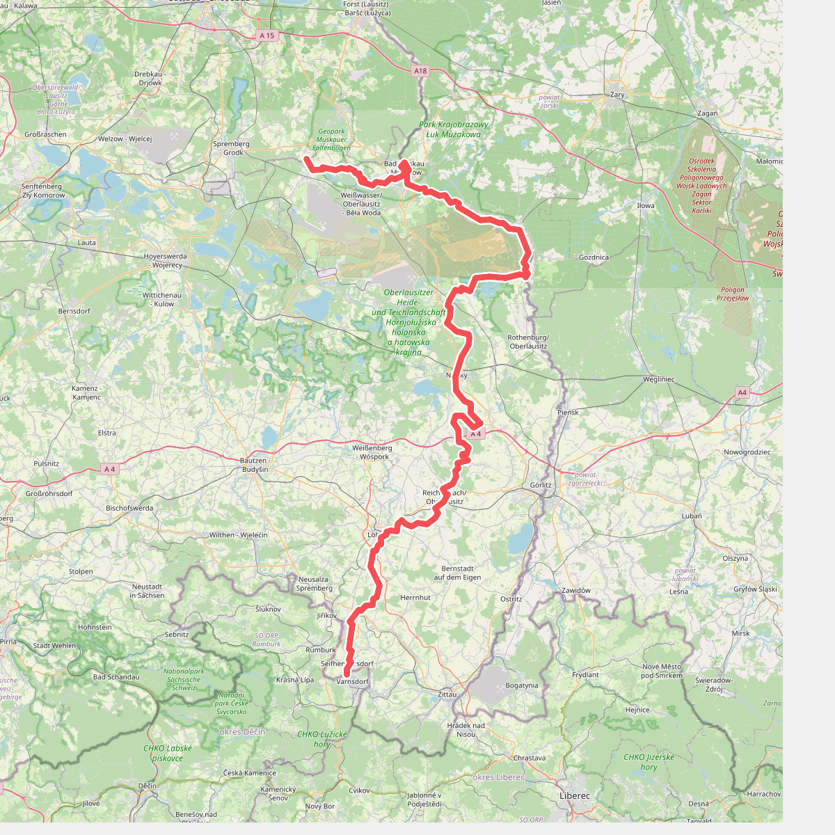
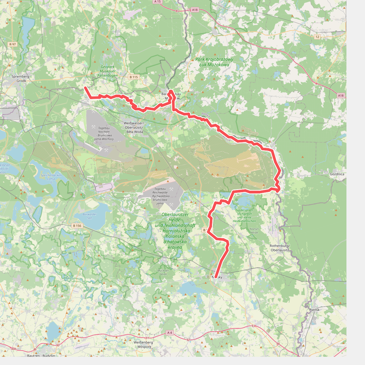
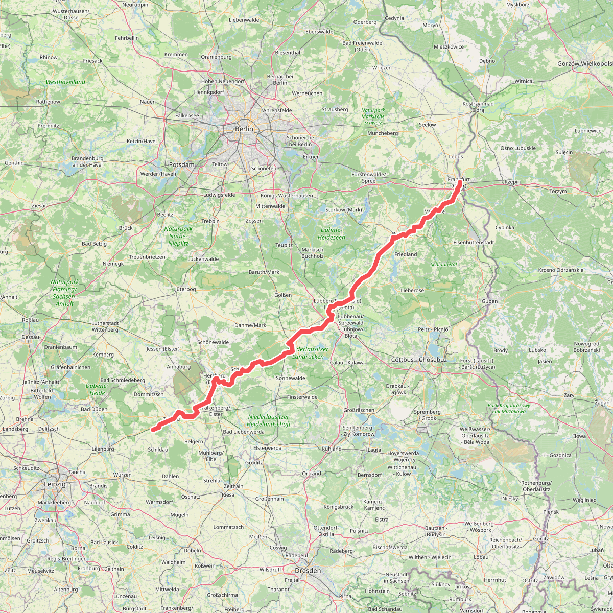
Discover the best walks in Geopark Muskauer Faltenbogen. 3 routes on the map, with descriptions, photos and GPX.
About Geopark Muskauer Faltenbogen
Geopark Muskauer Faltenbogen offers a landscape shaped by glacial pressure and historic open-cast mining. Unlike flat pine forests nearby, this area features a series of parallel ridges and narrow, elongated valleys. The terrain is defined by hundreds of water-filled mining pits, known locally as gasses, which have filled with highly acidic water. This acidity colors the lakes in striking shades of green, turquoise, and deep rust-red, a direct result of exposed iron and coal layers underfoot.
Read more
About Geopark Muskauer Faltenbogen
Geopark Muskauer Faltenbogen offers a landscape shaped by glacial pressure and historic open-cast mining. Unlike flat pine forests nearby, this area features a series of parallel ridges and narrow, elongated valleys. The terrain is defined by hundreds of water-filled mining pits, known locally as gasses, which have filled with highly acidic water. This acidity colors the lakes in striking shades of green, turquoise, and deep rust-red, a direct result of exposed iron and coal layers underfoot.
Read moreGeopark Muskauer Faltenbogen offers a landscape shaped by glacial pressure and historic open-cast mining. Unlike flat pine forests nearby, this area features a series of parallel ridges and narrow, elongated valleys. The terrain is defined by hundreds of water-filled mining pits, known locally as gasses, which have filled with highly acidic water. This acidity colors the lakes in striking shades of green, turquoise, and deep rust-red, a direct result of exposed iron and coal layers underfoot.
Walking here means navigating a mix of wide, sandy forestry tracks and narrow, uneven paths that climb over the steep, clayey ridges. The soil changes rapidly from dry, loose sand on the crests to damp, heavy clay near the water edges. You will not find high mountain peaks or natural river valleys; instead, the landscape is a repetitive pattern of wooded hillsides and artificial lakes, where the vegetation consists mostly of birch, pine, and acid-tolerant mosses.
The main trails are well-marked and relatively easy to follow, though the steep slopes of the ridges require steady footing. While the most accessible lakes near the parking areas can attract more visitors, the deeper forest paths remain quiet. The landscape is best understood by observing the exposed soil profiles along the path cuts, where the colorful layers of clay, sand, and brown coal are clearly visible.